サンピエトロディカドーレのおすすめMTBライド
4.5
(813)
4,393
ライダー
101
ライド
サンピエトロディカドーレ周辺には魅力的なマウンテンバイクルートがいくつもありますが、冒険を始めるにはその場所とルートを把握する必要があります。ここでは、komootが提供するサンピエトロディカドーレ周辺でのマウンテンバイクルートのコレクション全体を評価して選び抜いた、人気ルートをご紹介します。各ライドの詳細をぜひご覧ください。
最終更新日: 11月 1, 2026
4.3
(6)
13
ライダー
20.1km
02:26
910m
910m
難しいマウンテンバイクライド. 標準以上のフィットネスレベルが必要です。 高度なライディングスキルが必要です。
4.6
(71)
358
ライダー
48.3km
05:03
1,540m
1,540m
難しいマウンテンバイクライド. 標準以上のフィットネスレベルが必要です。 高度なライディングスキルが必要です。ツアーの一部で自転車を押して歩く必要があるかもしれません。

4.8
(32)
162
ライダー
44.2km
04:04
1,310m
1,310m
難しいマウンテンバイクライド. 標準以上のフィットネスレベルが必要です。
4.8
(16)
74
ライダー
25.1km
02:45
880m
890m
中程度のマウンテンバイクライド. ある程度のフィットネスレベルが必要です。
4.8
(5)
31
ライダー
40.2km
04:27
1,400m
1,400m
難しいマウンテンバイクライド. 標準以上のフィットネスレベルが必要です。 高度なライディングスキルが必要です。
さらに多くのルートや他のユーザーのおすすめ情報を確認できます。
すでにアカウントをお持ちですか?
おすすめのツアーは他のkomootユーザーが実際に経験した何千ものアクティビティに基づいています。
無料アカウントで今日から始めよう
次の冒険が待っています。
コミュニティからのヒント

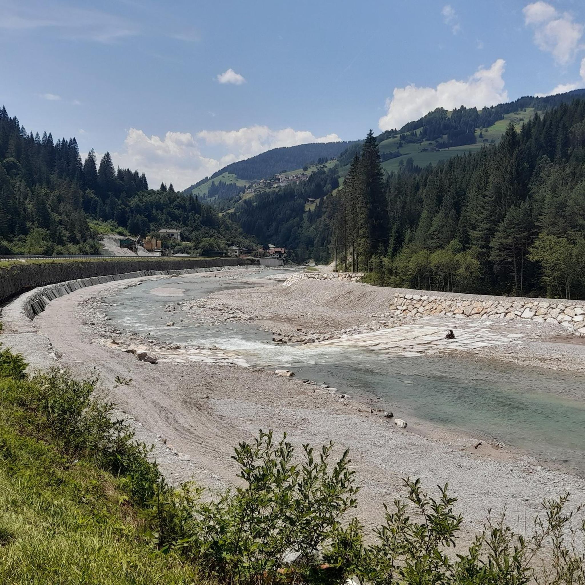
西稜線からHochweißsteinに登る際の良い拠点です。
0
0


Even more complete if you climb up to Forcella Dignas, +300m above sea level, rather steep but panoramic and rewarding
0
0

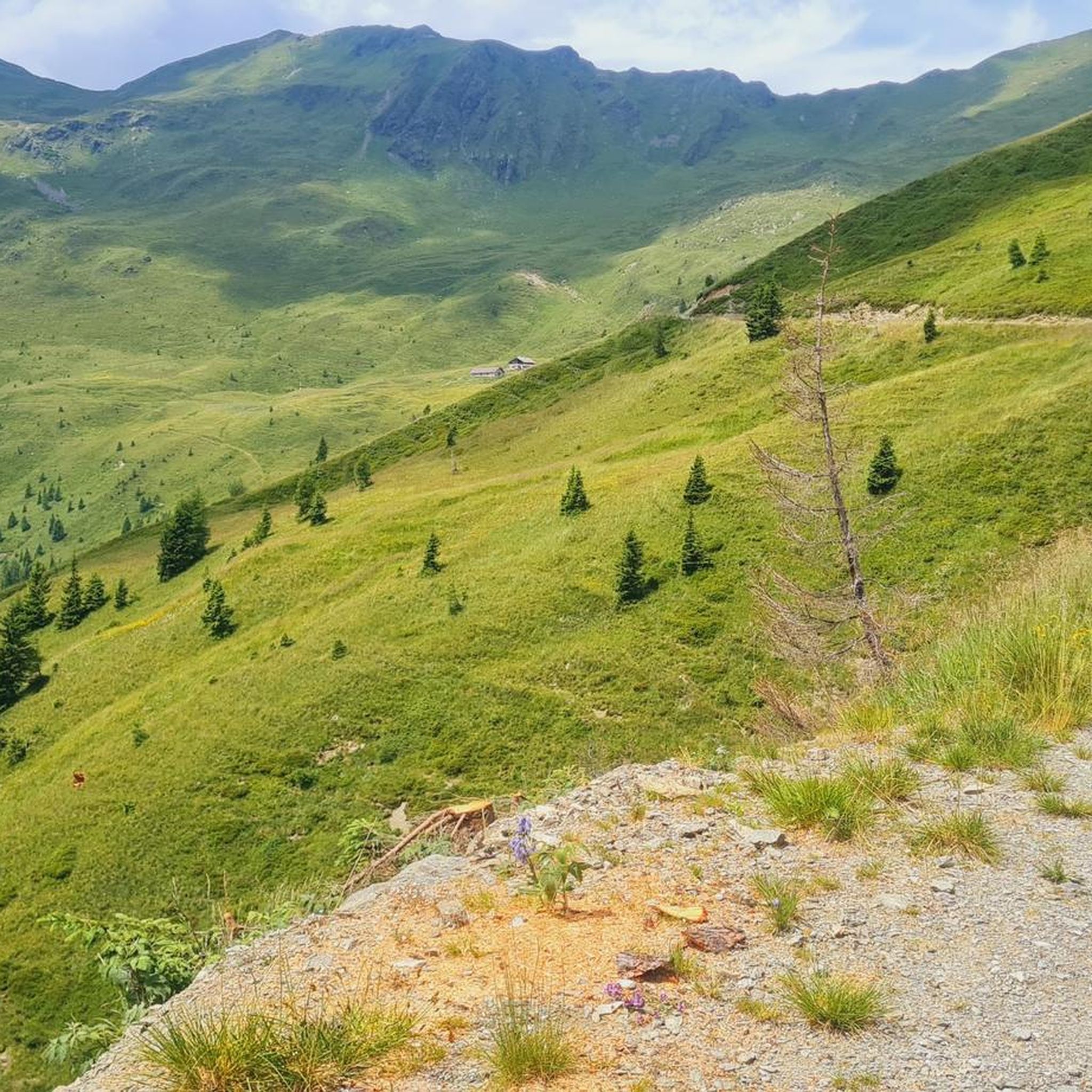
The ascent to the Rifugio Calvi is gravel throughout, with concrete in critical sections. The steepest gradient is 27%, and the main climbs are relatively short and steep. The gravel is fine-grained at the bottom, becoming coarser towards the end. Generally, exposed areas (bends, streams) are washed out, with deeper gravel patches. Depending on the time of day, there are many hikers on the trail; everyone was courteous on my ascent. At some bends, there are small plateaus that can be very useful as rest stops. Throughout the ascent, and even better on the descent, the panorama of the surrounding mountains, all the way to the Dolomites, is outstanding.
0
0
Sappada is a village located at 1,250 meters above sea level. It consists of a chain of hamlets approximately five kilometers long, almost all of which have their own chapel and fountain. The town's founding dates back to the Middle Ages. Since the end of the 19th century, tourism has been a significant source of income. The buildings are characterized by charming facades with plenty of wood, floral decorations, and sculptures made of various materials.
0
0
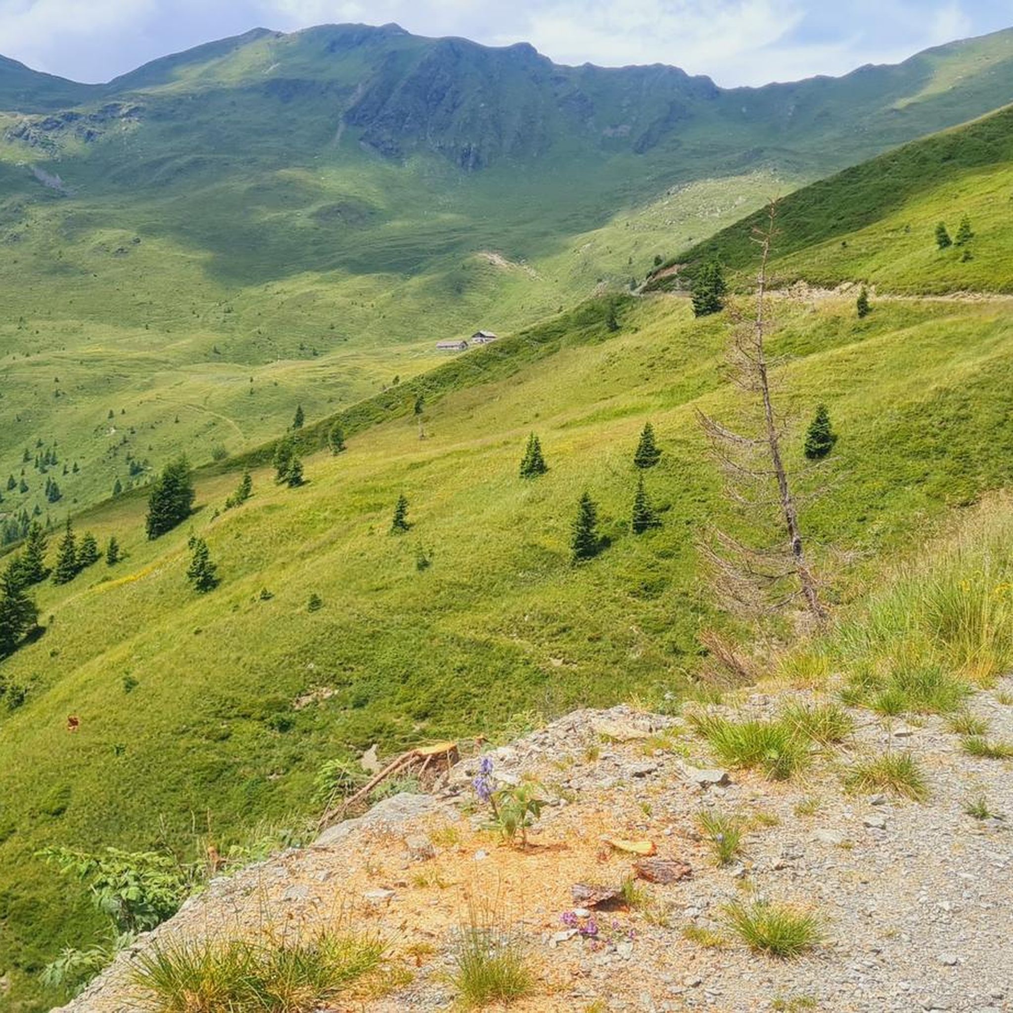
From the Rifugio Calvi, the panorama to the southwest is impressive, reaching all the way to the Dolomites. It is located below the steep walls of Monte Chiadenis and Monte Peralba at an altitude of 2,164 m. It was inaugurated in 1926 and is the highest mountain hut in Friuli. The panorama
0
0
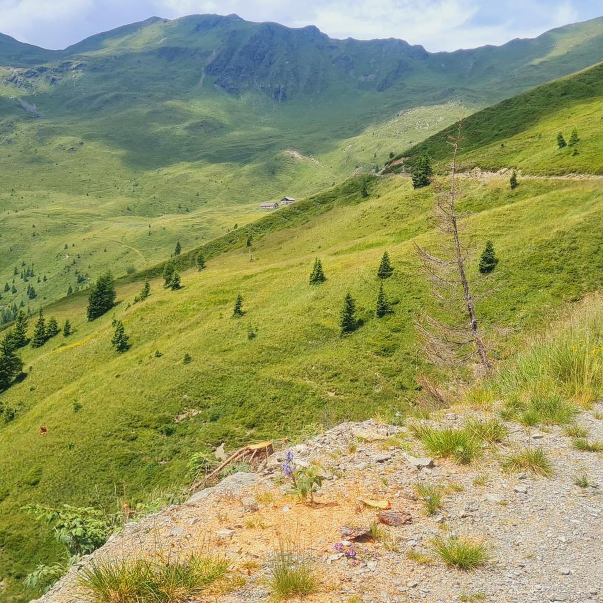
From the Rifugio Calvi, the panorama to the southwest is impressive, reaching all the way to the Dolomites. It is located below the steep walls of Monte Chiadenis and Monte Peralba at an altitude of 2,164 m. It was inaugurated in 1926 and is the highest mountain hut in Friuli. The panorama
0
0
A very romantic source of a large river. Benches around the spring invite you to take a break.
1
0
サンピエトロディカドーレでのの人気観光スポット

komootモバイルアプリでインスピレーションを得よう


さらに探索
他の地域の最高のMTBトレイルを見てみましょう。
