サルメデのおすすめランニングルート
4.2
(112)
6,571
ランナー
15
ランニング
サルメデでランニングを楽しめば、このエリアをより深く知ることができます。ランニングに適した美しいルートが見つかるように、komootがサルメデでのルートのコレクション全体を評価して選び抜いた、人気ランニングトレイルをご紹介します。ルートをクリックして詳細を表示し、他のユーザーがアップロードした役立つ情報や写真を閲覧しましょう。
最終更新日: 10月 13, 2026
30
ランナー
11.5km
01:41
560m
560m
難しいジョギング. 標準以上のフィットネスレベルが必要です。 全般的に舗装された状態です。あらゆるスキルレベルに適しています。
42
ランナー
13.7km
02:10
760m
760m
難しいジョギング. 標準以上のフィットネスレベルが必要です。 安定して歩行できる技術、丈夫な靴、高標高地での登山経験が必要です。

11
ランナー
11.2km
01:11
80m
80m
中程度のジョギング. ある程度のフィットネスレベルが必要です。 全般的に舗装された状態です。あらゆるスキルレベルに適しています。
3
ランナー
8.05km
00:50
40m
40m
中程度のジョギング. ある程度のフィットネスレベルが必要です。 全般的に舗装された状態です。あらゆるスキルレベルに適しています。
5
ランナー
8.60km
00:59
240m
240m
中程度のジョギング. ある程度のフィットネスレベルが必要です。 全般的に舗装された状態です。あらゆるスキルレベルに適しています。
さらに多くのルートや他のユーザーのおすすめ情報を確認できます。
すでにアカウントをお持ちですか?
おすすめのツアーは他のkomootユーザーが実際に経験した何千ものアクティビティに基づいています。
無料アカウントで今日から始めよう
次の冒険が待っています。
コミュニティからのヒント

Monument in honor of the fallen of the area during the Second World War.
0
0

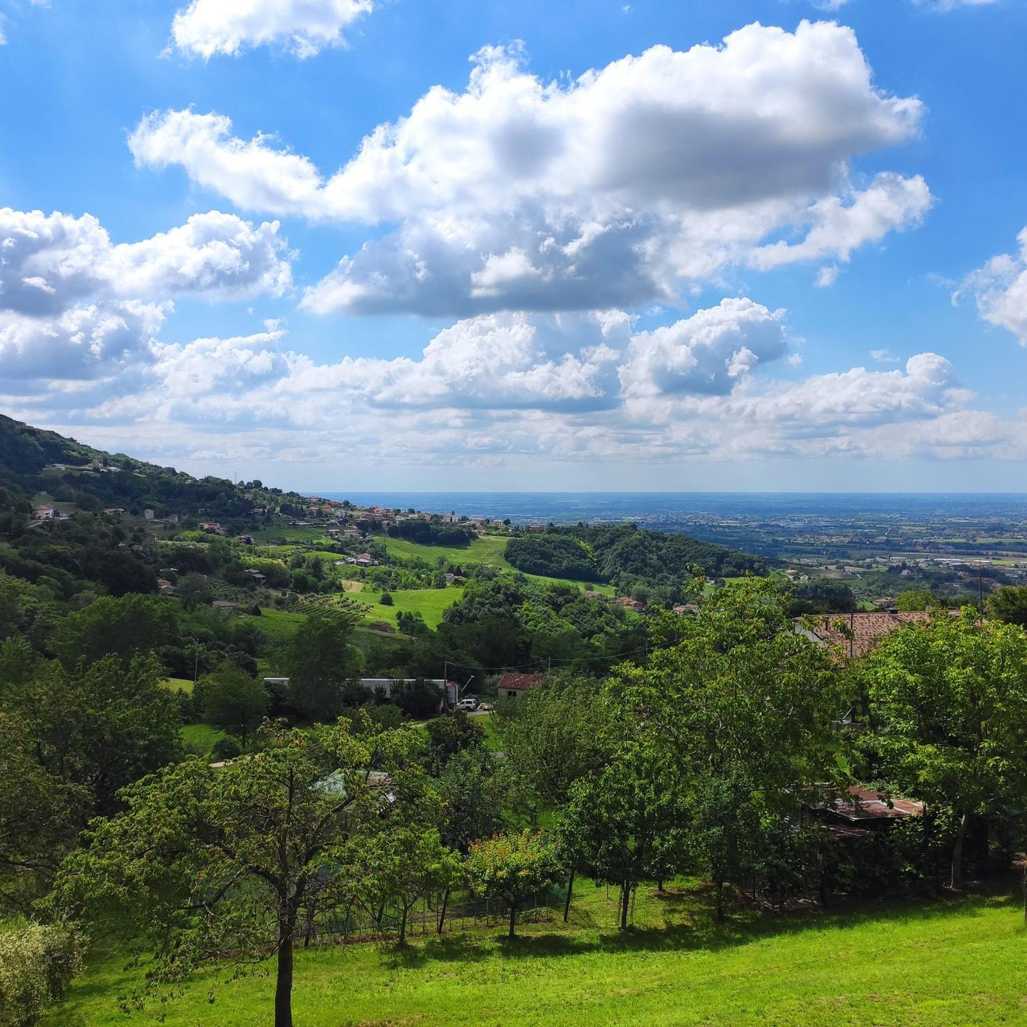
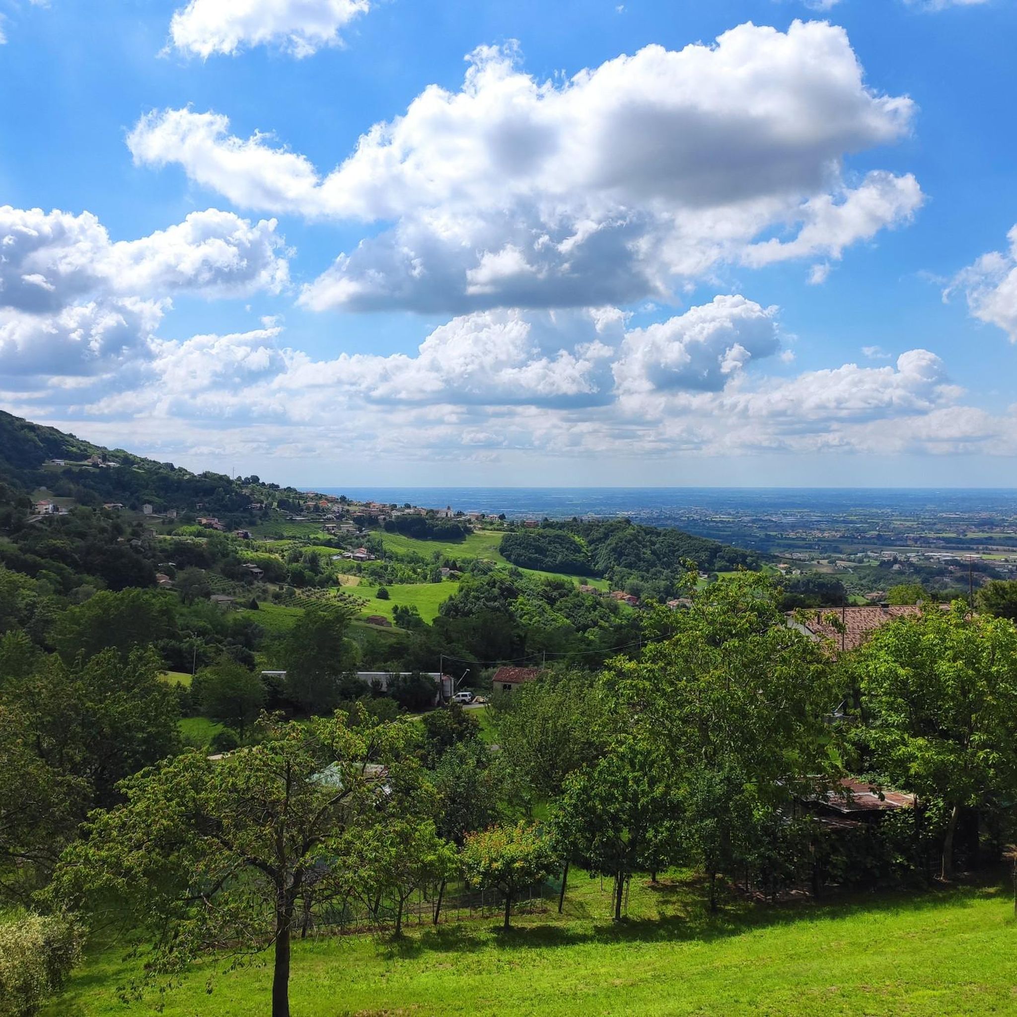
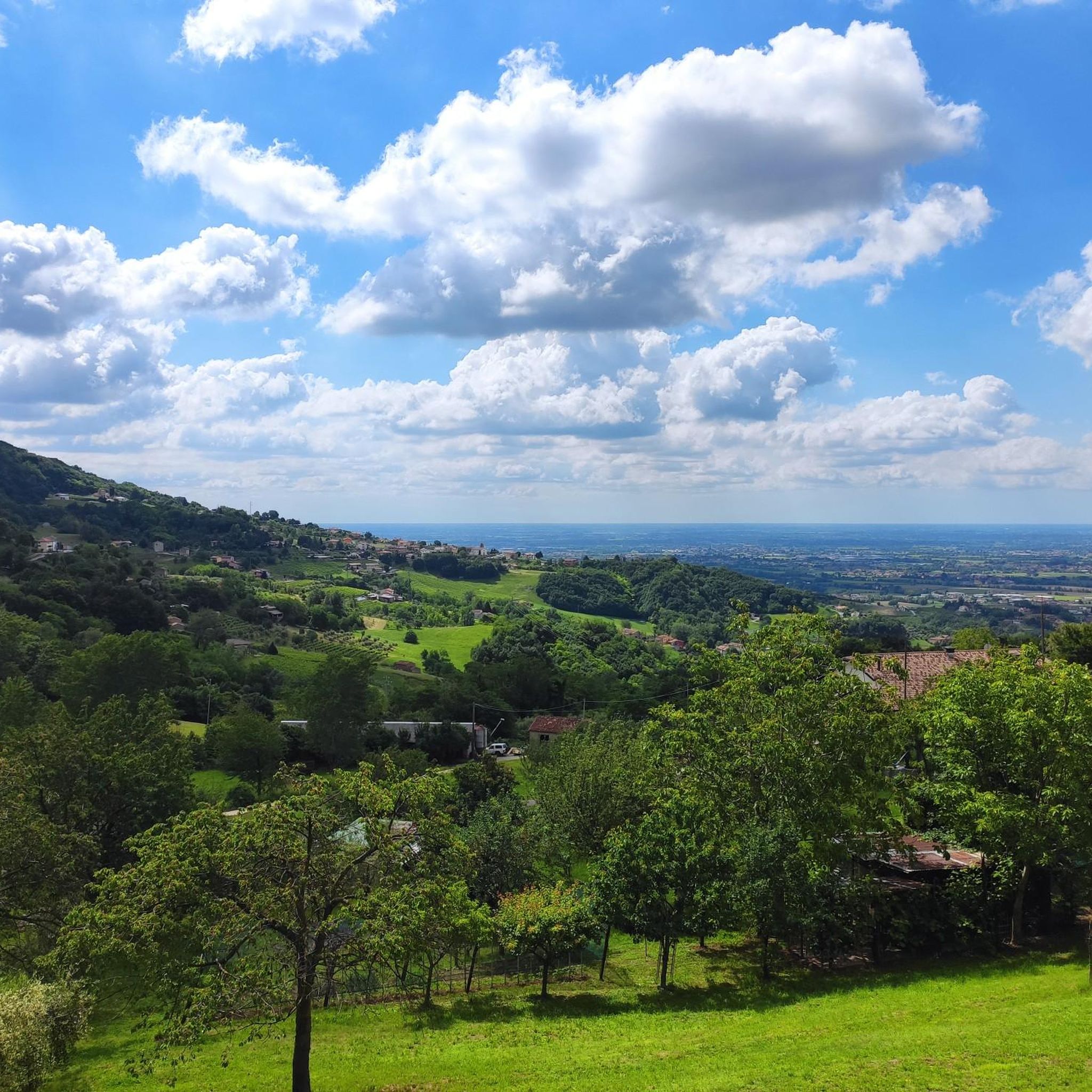
Beautiful view of the Po Valley.... With the sun you can see the Venice lagoon and the Euganean Hills
0
1

Monument to the fallen in the Giuseppe Faé square.
10
0
The parish church of San Pancrazio dominates part of the town center and the plain below. It has a gabled façade with neoclassical styles, divided into three parts by four Ionic pilasters and finished by a large tympanum. Inside, in a nave, there is the altarpiece San Pancrazio tra i santi Rocco e Appolonia by Antonio Dal Favero and a fresco with the Primacy of Saint Peter, the work of Noè Bordignon.
11
0
Montanèr is a fraction of the municipality of Sarmede, in the province of Treviso. In the medieval age, Montaner gave birth to one of the oldest and most famous dynasties in the history of Treviso: the da Camino, then known by the name of "da Montanara" (ancient toponym for Montaner), place of origin before the family moved to opitergino. https://it.m.wikipedia.org/wiki/Montaner_(Sarmede)
14
0

Sarmede is renowned as the "land of fairy tales" for the numerous activities dedicated to children and for the presence of the international illustration school, the training center of the Stepan Zavrel foundation. The walls of the houses are adorned with wonderful murals. The creative influence of the Czech illustrator, who resided here from 1968 to 1999, is evident. Walking through the streets of the town, it is possible to admire numerous buildings frescoed in his honor, such as the town hall or the house of Fantasy.
2
0


The Strada del Patriarca was an ancient and busy communication route that reached the Cansiglio plateau, thus connecting to nearby Alpago and the Piave Valley. In the Middle Ages the main artery was represented by the "Strada Alemagna" which passed through the Val Lapisina through the narrow Serravalle. Tensions with the Da Camino led Sacile, which remained linked to the Patriarchate of Aquileia, to remain isolated as a borderland. so that in 1274 the Patriarch Raimondo della Torre was asked to open an alternative route for the exploitation of the woods.The road was probably already traced at the end of the XII century, in conjunction with the Castle of Caneva.The road network was declared free from tax, therefore passable by all those merchants who, at the cost of greater efforts, could reach the Valbelluna and, vice versa, the markets of Sacile and the waterways of the Livenza.In 1420 the Venetians conquered Friuli and the patriarchate of Aquileia ceased to exist; the Patriarch's Road thus lost importance, even if it continued to be used for forestry and agricultural activities. Only a few evidences of this ancient road remain today; it appears in several points, in its original size, with traces of fillings, retaining walls, sediments and engravings in the rock. It is retraced by trail marker 1060 (Sentiero del Patriarca). The route begins in Villa di Villa, near the Strada dei Faidei, not far from the ruins of the Castle of Cordignano. It reaches Lamar and the Parco dei Carbonai touching various places of historical importance.
2
0

komootモバイルアプリでインスピレーションを得よう


さらに探索
他の地域の最高のランニングトレイル & ルートを見てみましょう。
