シュテットフェルトのおすすめウォーキング&ハイキングルート
4.5
(5121)
18,535
ハイカー
33
ハイキング
シュテットフェルト 周辺でおすすめのハイキングやウォーキングを楽しんでいただけるように、このエリアの小径やルートを集めたkomootコレクション全体を見直しました。 以下で各ルートの詳細をご覧になり、シュテットフェルト周辺の大自然を満喫する際の参考にしてください。
最終更新日: 10月 14, 2026
4.3
(6)
20
ハイカー
5.21km
01:26
90m
90m
初級者向けハイキング. あらゆるフィットネスレベルに適しています。 進みやすいルートです。あらゆるスキルレベルに適しています。
4.3
(7)
22
ハイカー
8.84km
02:32
210m
210m
中程度のハイキング. ある程度のフィットネスレベルが必要です。 進みやすいルートです。あらゆるスキルレベルに適しています。

5.0
(1)
9
ハイカー
6.40km
01:46
110m
110m
初級者向けハイキング. あらゆるフィットネスレベルに適しています。 進みやすいルートです。あらゆるスキルレベルに適しています。
5.0
(4)
8
ハイカー
9.55km
02:40
180m
180m
中程度のハイキング. ある程度のフィットネスレベルが必要です。 進みやすいルートです。あらゆるスキルレベルに適しています。
5.0
(2)
12
ハイカー
3.65km
01:02
80m
80m
初級者向けハイキング. あらゆるフィットネスレベルに適しています。 進みやすいルートです。あらゆるスキルレベルに適しています。
さらに多くのルートや他のユーザーのおすすめ情報を確認できます。
すでにアカウントをお持ちですか?
おすすめのツアーは他のkomootユーザーが実際に経験した何千ものアクティビティに基づいています。
無料アカウントで今日から始めよう
次の冒険が待っています。

コミュニティからのヒント

According to legend, a castle once stood on the "Bürg" hill above St. Anna's Chapel. When it was attacked, the young lady of the castle fled, hid in a hedge, and pleaded with her patron saint for help. The saint protected the young woman with a dense rose hedge. In gratitude, she had St. Anna's Chapel built on that spot.
0
0
During the renovation of St. Anna Chapel in 2013, the area around the chapel was redesigned and the statue of Mother Anna was erected in front of the entrance portal.
0
0
Addendum to Naxxos from February 20, 2021: The sand was used as writing sand (also called blotting sand or quenching sand). It was formerly used to dry wet ink. Medieval inks dried more slowly than modern inks. ... Traces of blotting sand can still be found on many handwritten historical documents. (Source: Wikipedia)
0
0

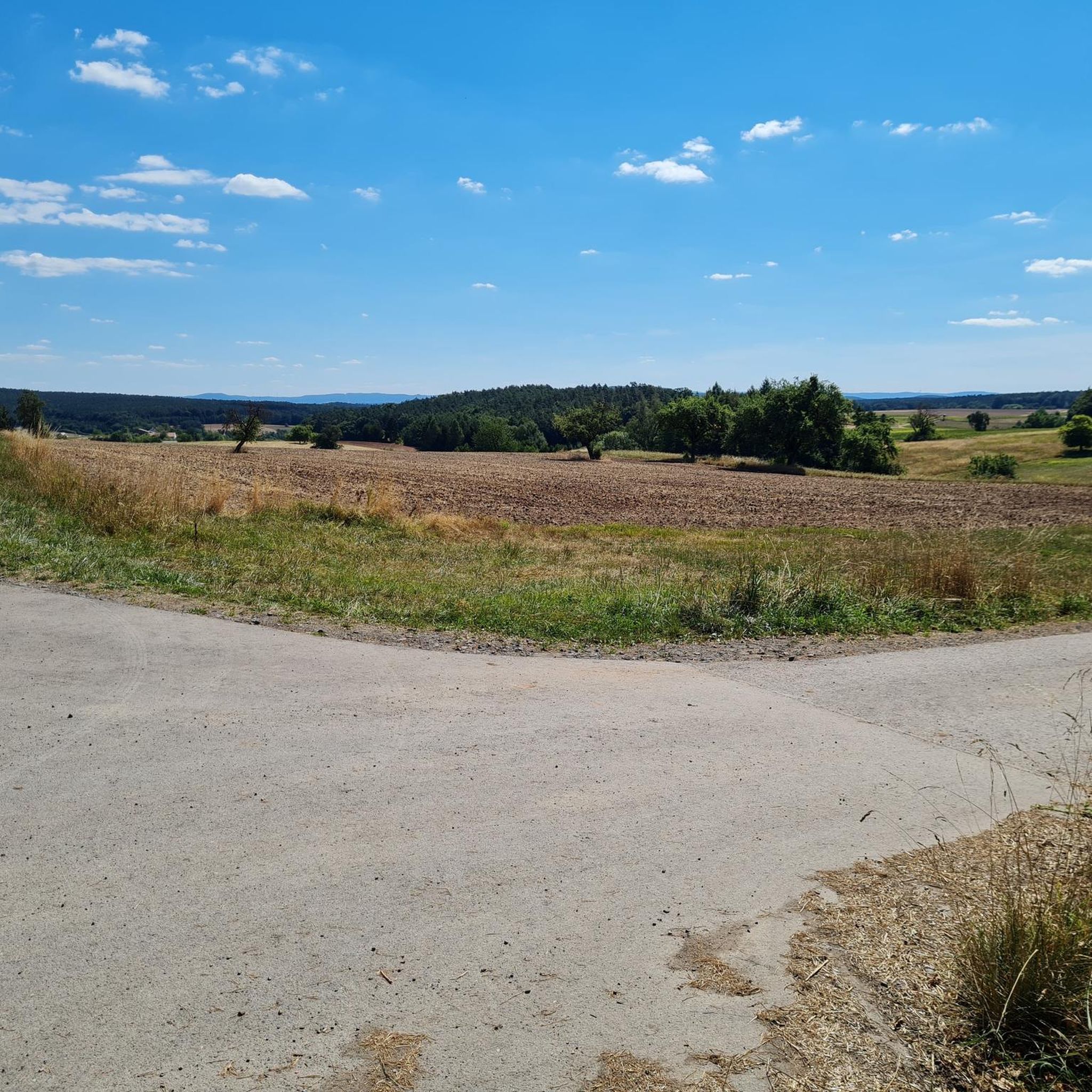
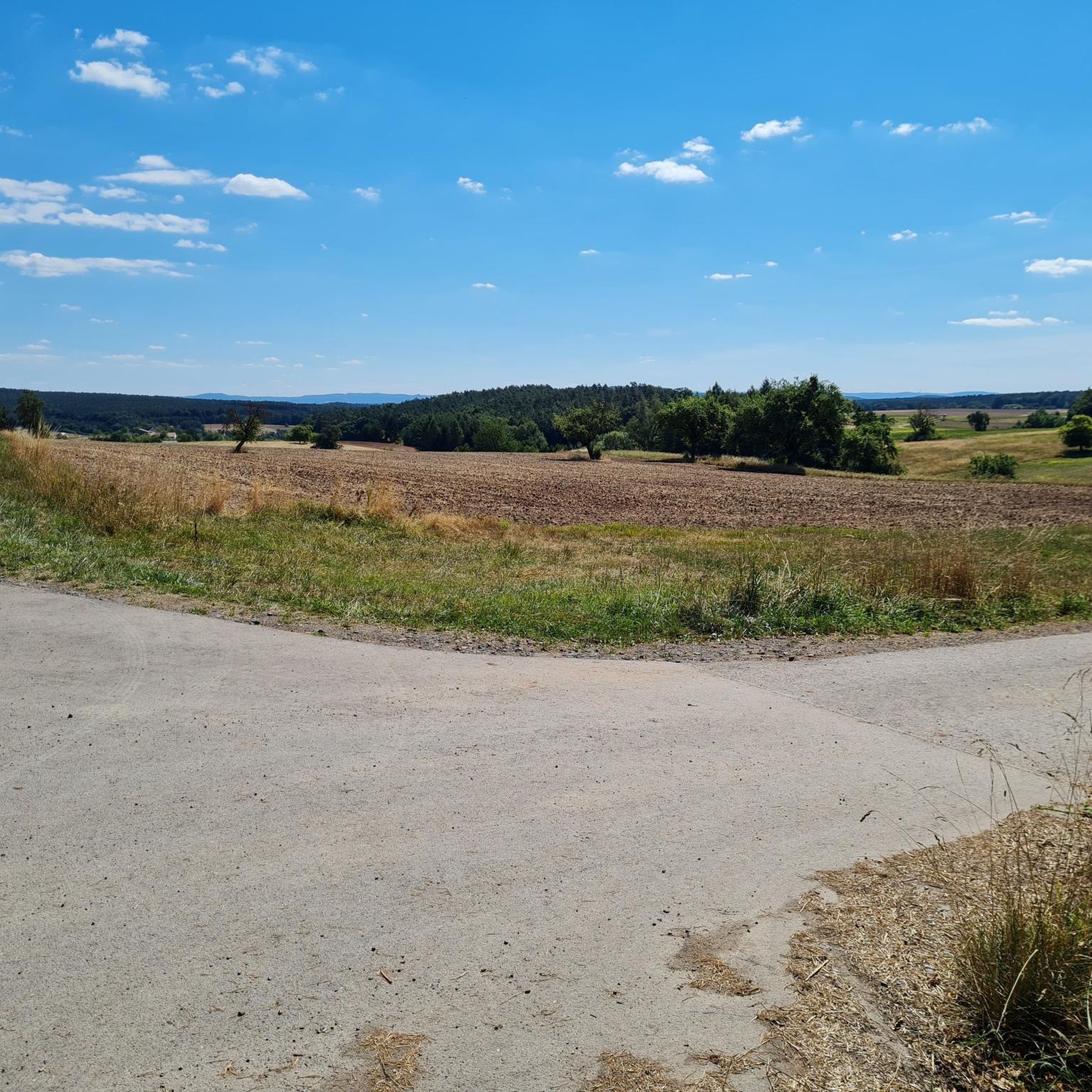
Here you have a beautiful view of the Main Valley, Stettfeld, St. Anne's Chapel, Ebelsbach, and towards Zeil. At the Three Oaks, there's a map, and next to it, a crate of drinks is buried in the ground – a very thoughtful touch by the local hiking club. You can pay in cash or via PayPal.
0
0


The 3-Eichenblick is a wonderful resting place with a beautiful view. Next to the bench is the "Waldkiste," a box sunk into the ground where you'll find wonderfully refreshing drinks: from beer to shandy, water, and more. A drink costs €2—what more could you ask for? I think it's a great idea. From here, it's another 760 meters to Spitzelberg, and it's well worth the effort!
0
0

The town hall of Stettfeld is a very beautiful half-timbered building.
13
0

シュテットフェルトでのの人気観光スポット

komootモバイルアプリでインスピレーションを得よう


さらに探索
他の地域の最高のハイキングを見てみましょう。
