オッロモントのおすすめランニングルート
4.1
(15)
1,302
ランナー
68
ランニング
オッロモントでランニングを楽しめば、このエリアをより深く知ることができます。ランニングに適した美しいルートが見つかるように、komootがオッロモントでのルートのコレクション全体を評価して選び抜いた、人気ランニングトレイルをご紹介します。ルートをクリックして詳細を表示し、他のユーザーがアップロードした役立つ情報や写真を閲覧しましょう。
最終更新日: 10月 7, 2026
3.0
(6)
32
ランナー
5.39km
00:35
110m
110m
中程度のジョギング. ある程度のフィットネスレベルが必要です。 全般的に舗装された状態です。あらゆるスキルレベルに適しています。
27
ランナー
10.0km
02:21
1,030m
1,030m
難しいジョギング. 標準以上のフィットネスレベルが必要です。 安定して歩行できる技術、丈夫な靴、高標高地での登山経験が必要です。

20
ランナー
32.3km
05:22
1,220m
1,220m
難しいジョギング. 標準以上のフィットネスレベルが必要です。 安定して歩行できる技術、丈夫な靴、高標高地での登山経験が必要です。
17
ランナー
9.07km
01:07
250m
260m
難しいジョギング. ある程度のフィットネスレベルが必要です。 安定して歩行できる技術、丈夫な靴、高標高地での登山経験が必要です。
25
ランナー
4.93km
00:54
340m
340m
難しいジョギング. 標準以上のフィットネスレベルが必要です。 安定して歩行できる技術、丈夫な靴、高標高地での登山経験が必要です。
さらに多くのルートや他のユーザーのおすすめ情報を確認できます。
すでにアカウントをお持ちですか?
おすすめのツアーは他のkomootユーザーが実際に経験した何千ものアクティビティに基づいています。
無料アカウントで今日から始めよう
次の冒険が待っています。
オッロモント周辺で人気

Alta Via n. 1 of the Aosta Valley — a walk among Italian giants
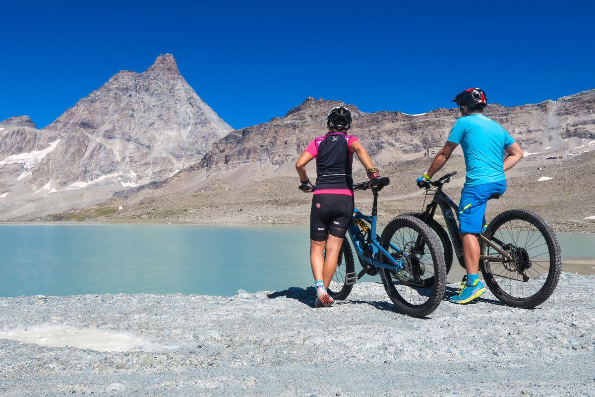
The Aosta Valley by MTB – between valleys and majestic peaks
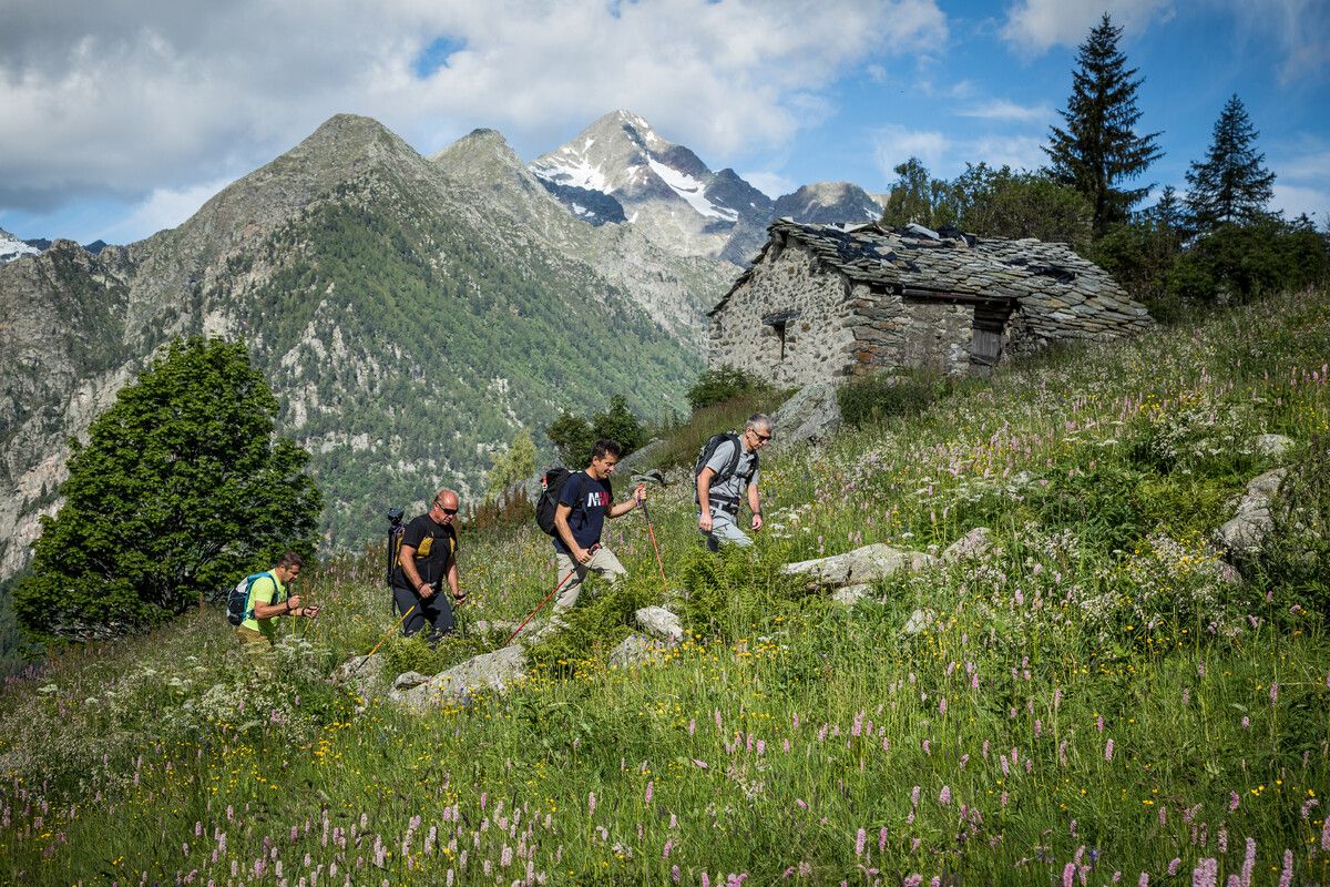
Hidden trails in the Aosta Valley – mountains you don't yet know
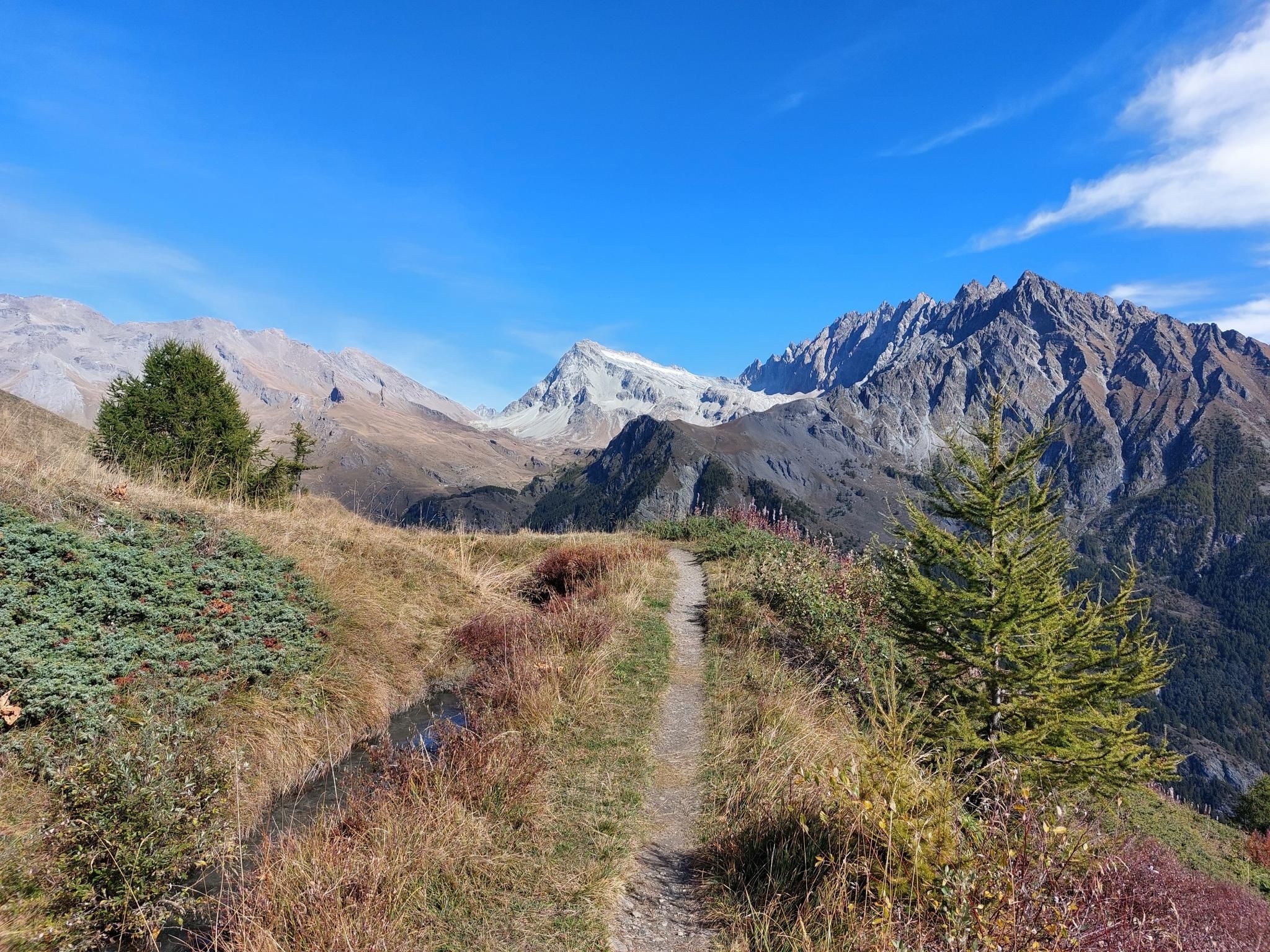
トゥール・デ・コンバン - モンブランとマッターホルンの間に位置する宝石

イタリアの巨人の中を歩く — Aosta Valley Highlight Route 1
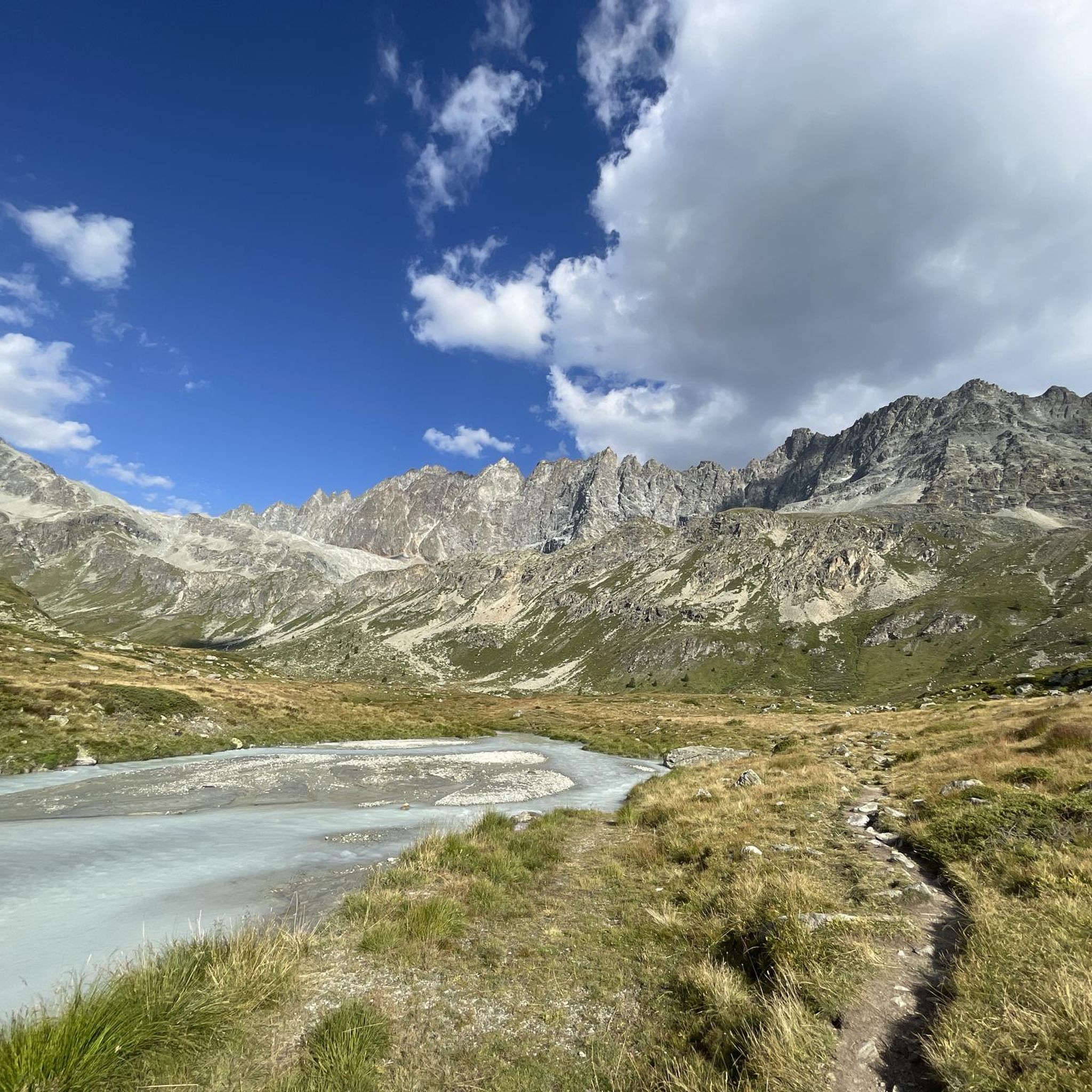
オッロモントでのハイキング
オッロモントのロードバイクルート
オッロモントでのサイクリング
オッロモントのMTBトレイル

オッロモントでののグラベルライド
オッロモントでのの他の冒険


コミュニティからのヒント

標高約2,000メートルの魅力的なByの盆地に位置するこの歴史的な石造りの家は、Valpellineのトレイル沿いに文化的に非常に価値のある休憩場所を提供します。この史跡に到着すると、かつて初代大統領であるLuigi Einaudiが最も好んだ夏の住居であったこの場所は、周囲の典型的なアルプスの牧草地や山小屋とは一線を画す、時が止まったかのような雰囲気であなたを迎えてくれます。ここで少し息をつき、ファサードにある記念碑を読み、山々と近くのダムの素晴らしい景色を楽しんでから、旅を続けましょう。
1
0


The Ru du Mont is an ancient irrigation canal originally built in the 14th century. Today, it's a popular hiking trail for its linearity and evocative views. Along the route, you can enjoy spectacular views of the Grand Combin mountain range and the Valpelline valley below. In some sections, you can still see the ancient stone canal structures.
0
0

A very beautiful Alpine-style tour, steep in sections but cyclable. On the way down, you cross several streams that can become impassable after heavy rains or spring thaws. Be aware that there are two exposed sections that require caution; fixed ropes facilitate the crossing. Be aware that one section is closed (barriers have been knocked down) due to a collapsed wooden walkway. The section is manageable but carries a high risk of falling (you have to carry your bike over a 15 cm thick and 1.5 m long beam!) Before this, a very narrow section in a rocky crevice is almost impossible to cycle; the handlebars barely fit. One solution is to bring suitable wrenches to fold the handlebars parallel to the frame. Be aware that these sections require absolute mastery, with exposed and dangerous sections. October 17, 2025 The ride is beautiful and very scenic.
1
0

The Ru de By is a charming stream well known in the area because of the path that runs alongside it. Follow the water, you're sure to be on the right path.
0
0

The pass between Switzerland and Italy connects Valais and the Aosta Valley (the smallest region in Italy with the black and red flag). "The Fenêtre de Durand is a 2,797-meter-high mountain pass in the Pennine Alps. The mule track connects the Swiss Rhône Valley via the Val de Bagnes with the Italian Aosta Valley. The gap between the 3,347-meter-high Mont Avril and the 3,518-meter-high Mont Gelé (Chanrion) is the only ice-free crossing over the main Alpine ridge east of the Grand Combin massif and west of the Monte Rosa massif. Immediately below the pass summit, on the Italian side, is the small Lac Fenêtre." Source: Wikipedia.
1
0

Beautiful refuge located on the Alta Via 1 and Tour du Gand Combin route, easily accessible in the summer
0
0

komootモバイルアプリでインスピレーションを得よう


さらに探索
他の地域の最高のランニングトレイル & ルートを見てみましょう。
