ソラーノのおすすめウォーキング&ハイキングルート
4.5
(443)
1,634
ハイカー
33
ハイキング
ソラーノ周辺でのハイキングは、景色を満喫するのに最適な手段のひとつですが、適切なハイキングルートを見つけることは簡単ではありません。 ソラーノ周辺の人気ハイキング&ウォーキングコースを参考にすれば、行きたいルートをすぐに見つけられます。
最終更新日: 9月 14, 2026
4.7
(67)
197
ハイカー
6.01km
01:52
230m
230m
初級者向けハイキング. あらゆるフィットネスレベルに適しています。 進みやすいルートです。あらゆるスキルレベルに適しています。
4.5
(19)
59
ハイカー
15.3km
04:23
360m
360m
中程度のハイキング. ある程度のフィットネスレベルが必要です。 進みやすいルートです。あらゆるスキルレベルに適しています。

4.9
(35)
105
ハイカー
14.5km
04:12
360m
360m
中程度のハイキング. ある程度のフィットネスレベルが必要です。 進みやすいルートです。あらゆるスキルレベルに適しています。
4.5
(58)
275
ハイカー
9.34km
02:45
260m
260m
中程度のハイキング. ある程度のフィットネスレベルが必要です。 進みやすいルートです。あらゆるスキルレベルに適しています。
4.6
(24)
54
ハイカー
7.38km
02:11
220m
210m
中程度のハイキング. ある程度のフィットネスレベルが必要です。 進みやすいルートです。あらゆるスキルレベルに適しています。
さらに多くのルートや他のユーザーのおすすめ情報を確認できます。
すでにアカウントをお持ちですか?
おすすめのツアーは他のkomootユーザーが実際に経験した何千ものアクティビティに基づいています。
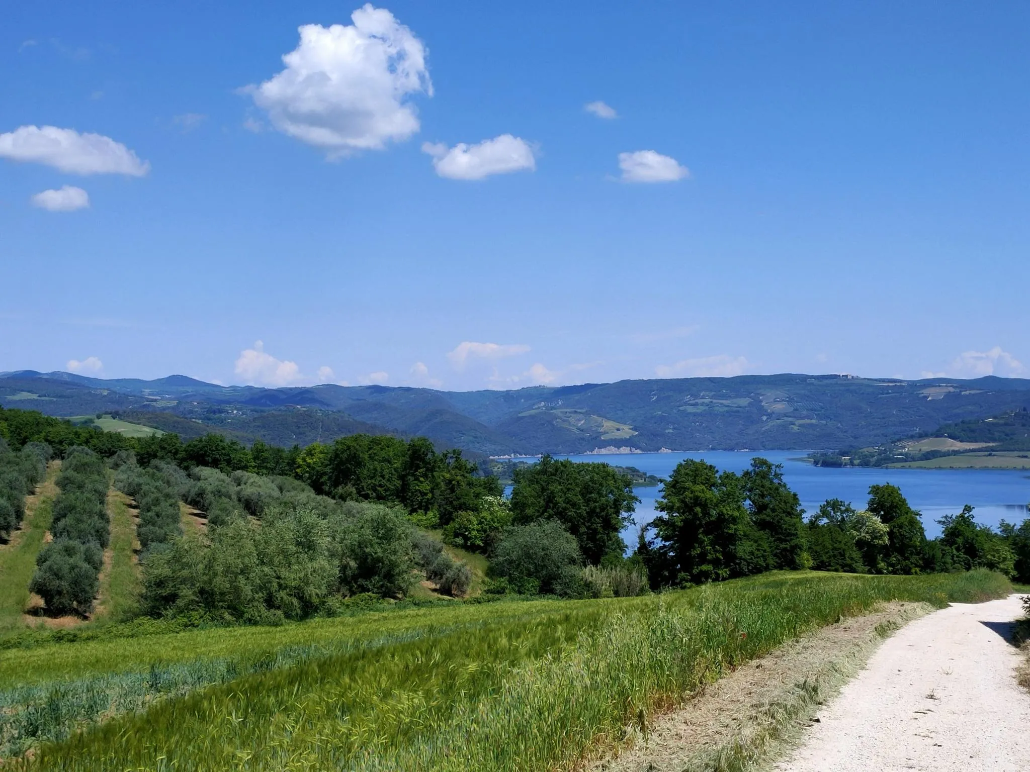
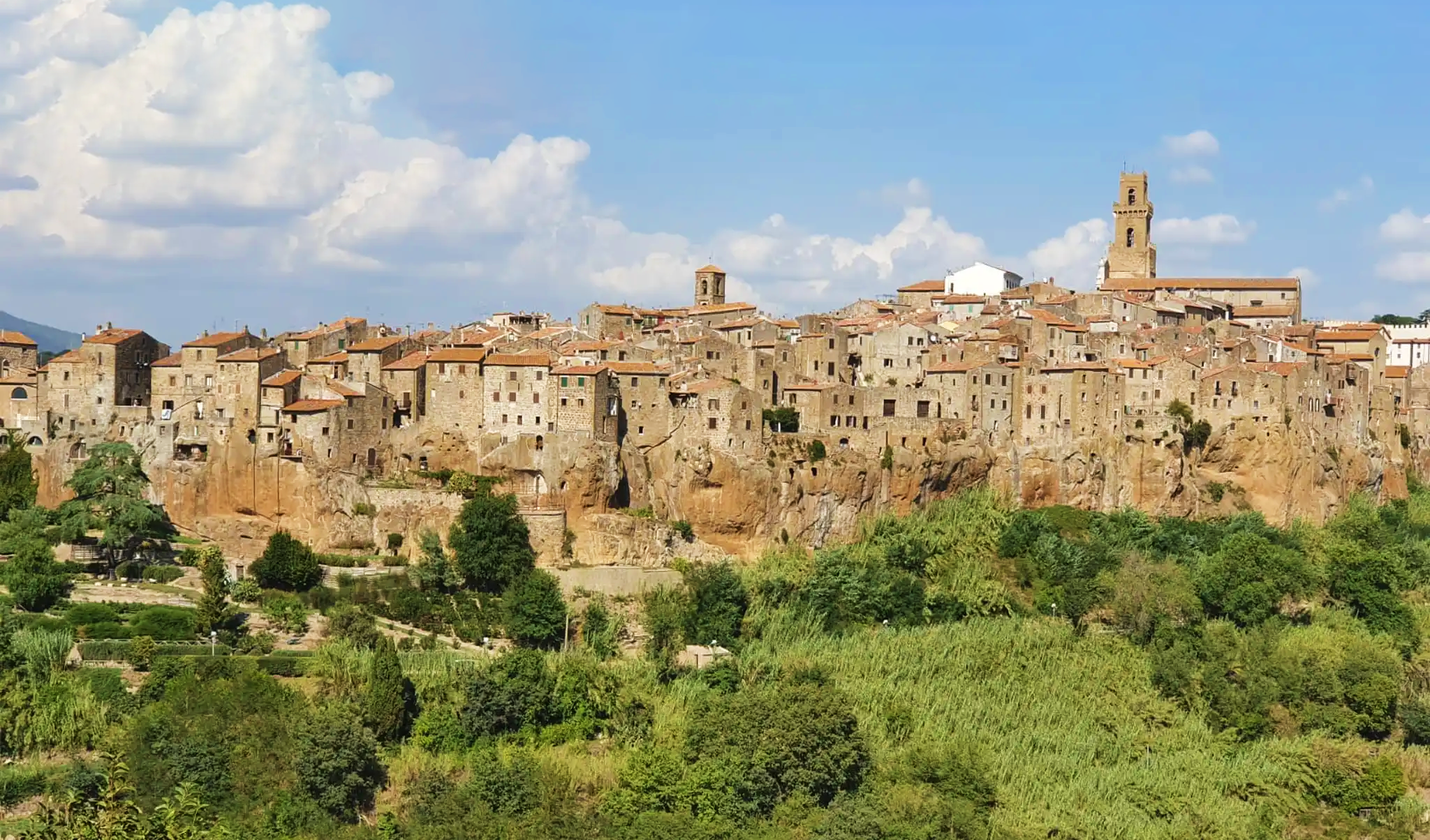
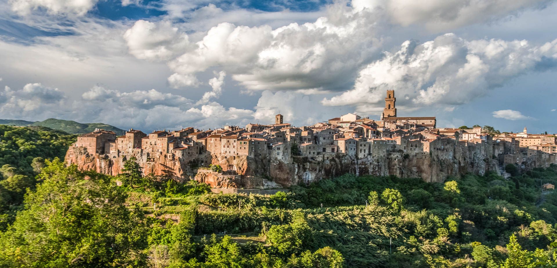
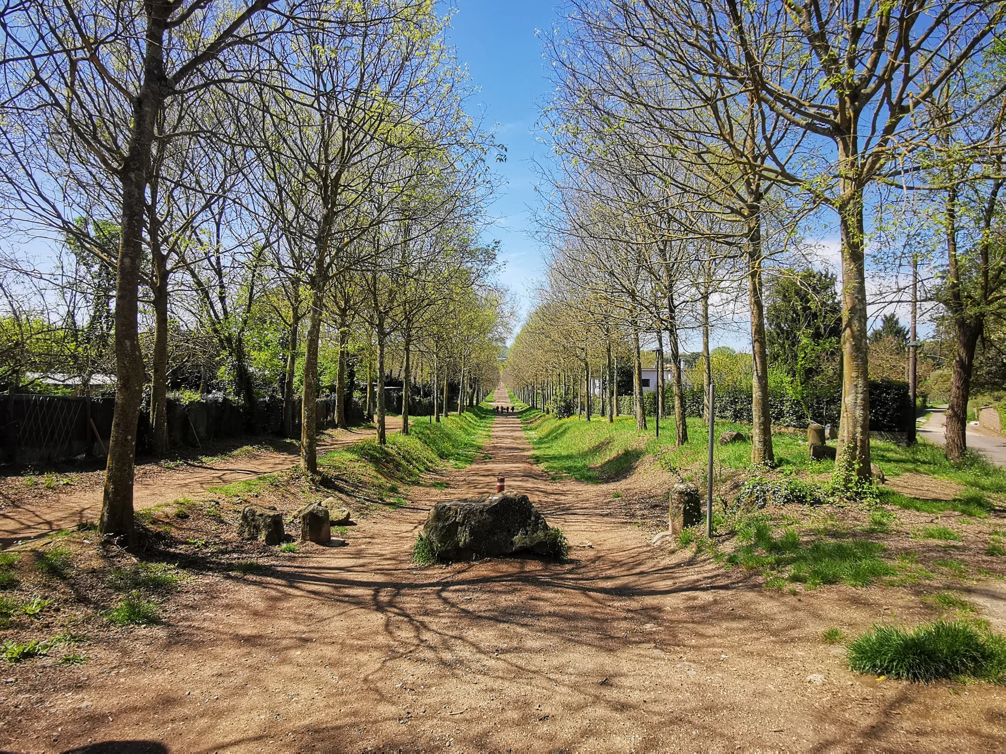
ソラーノでのの他の冒険


コミュニティからのヒント

このヴァイア・カヴァでは、他の場所よりも雨水の排水・貯留システムをよりはっきりと見ることができます。雨水による浸食で凝灰岩が削り取られたヴァイア・カヴァの中央部には、一定間隔で凝灰岩の地層に横断するように挿入された玄武岩の石があり、水の流れを遅くして道路の浸食を制限する役割を果たしていました。このヴァイア・カヴァの名前は、カヴァの上部に、地元のAvisグループが率いるボランティアグループによって最近修復された小さな礼拝堂があることに由来しています。
1
0
Via Cava di San Roccoは、この地域で最も印象的なエトルリア時代の通路の1つです。この小道は完全に凝灰岩に掘られており、高さ20メートルに達する垂直な壁には、シダや苔の豊かな植生が生い茂っています。 このルートは、レンテ川の谷と上部の高原を結んでいます。登り道に沿って、古代の水路システムや岩に刻まれた階段があります。上端に到達すると、ソラーノの町とオルシーニ要塞の最も象徴的な景色を眺めることができるサン・ロッコ展望エリアに到着します。壁の涼しい微気候のため、地面は湿っていて滑りやすい場合があります。
0
0

Hiking during rainy days can be very slippery. It’s best to avoid walking above the caves, as there are several holes in the area.
0
0
Hiking during rainy days can be very slippery. It’s best to avoid walking above the caves, as there are several holes in the area.
0
0

Beautiful here, great, we really liked it
1
0
A very beautiful old town with a beautiful history
2
0

With its imposing mass, the Orsini Fortress dominates the medieval village of Sorano and represents one of the greatest examples of medieval architecture of the Renaissance. Built by the Aldobrandeschi in the 13th century, it was later expanded and renovated by the Orsini, according to the needs imposed by the advent of firearms. The aim was to make Sorano a powerful military bulwark in the centuries-old dispute between this turbulent family and the Republic of Siena. The oldest structures, identifiable with the surviving portions of the Rocca degli Aldobrandeschi, are located in the northern area of the fortification. The complex must have been divided into two main alignments that delimited an open space facing the town below (now Piazza Cairoli) to the east and south. In the mid-16th century, other structural interventions completely modified the original layout of the ancient keep, which was adapted to the use of a count's residence. Today some of these rooms house the Civic Archaeological Museum which preserves finds from the territory of Sorano, Sovana and Castell’Ottieri. The entrance to the keep was protected by a drawbridge, now disappeared, and by a deep moat which delimited, descending into the valley, also the two gates of access to the village. The large square in front, supported on two sides by walls, was the nodal point of all the daily activities of the garrison. The sixteenth-century complex consists of a central keep where the headquarters was located and which housed the armory, the gunpowder and saltpetre warehouse, the foundry and the prisons. At the base of the building was located the guardhouse to control the main entrance to the Fortress. Above the portal stands the coat of arms with the rampant lions of the Aldobrandeschi, the rosette and the bars of the Orsini, surmounted by the crest on which rests the heraldic bear. The Mastio is connected to the two corner bastions, also decorated with a coat of arms and by embankments that delimit a second moat that was filled in during the Lorraine period. The various buildings, which make up the Renaissance complex, are connected to each other by a series of underground walkways that allowed the rapid movement of troops along the entire perimeter of the walls. The paths are dug on multiple levels and are equipped with "wolf mouth" slits suitable for defense with arquebuses and culverins. The two bastions also constituted the main deposits for food and water reserves and were used as milling rooms for the processing of grain and gunpowder. The water supply was via a system of canals connected by some cisterns dug into the tuff. In the second half of the 16th century, the political situation of the County changed radically when it became part of the Grand Duchy of Tuscany. From this moment on, the large military complex, which had withstood many battles, lost its strategic function and was gradually abandoned. Today, thanks to numerous restoration interventions, it is possible to visit the entire bastion complex of the Fortress by going to the Museum located in the fourteenth-century part.
0
0

Was first mentioned in documents in 1276 and was extensively renovated in subsequent eras.
1
0

komootモバイルアプリでインスピレーションを得よう


さらに探索
他の地域の最高のハイキングを見てみましょう。
