マテリカのおすすめウォーキング&ハイキングルート
4.3
(322)
1,648
ハイカー
49
ハイキング
マテリカ周辺でのハイキングは、景色を満喫するのに最適な手段のひとつですが、適切なハイキングルートを見つけることは簡単ではありません。 マテリカ周辺の人気ハイキング&ウォーキングコースを参考にすれば、行きたいルートをすぐに見つけられます。
最終更新日: 10月 24, 2026
4.5
(13)
151
ハイカー
5.42km
02:19
310m
310m
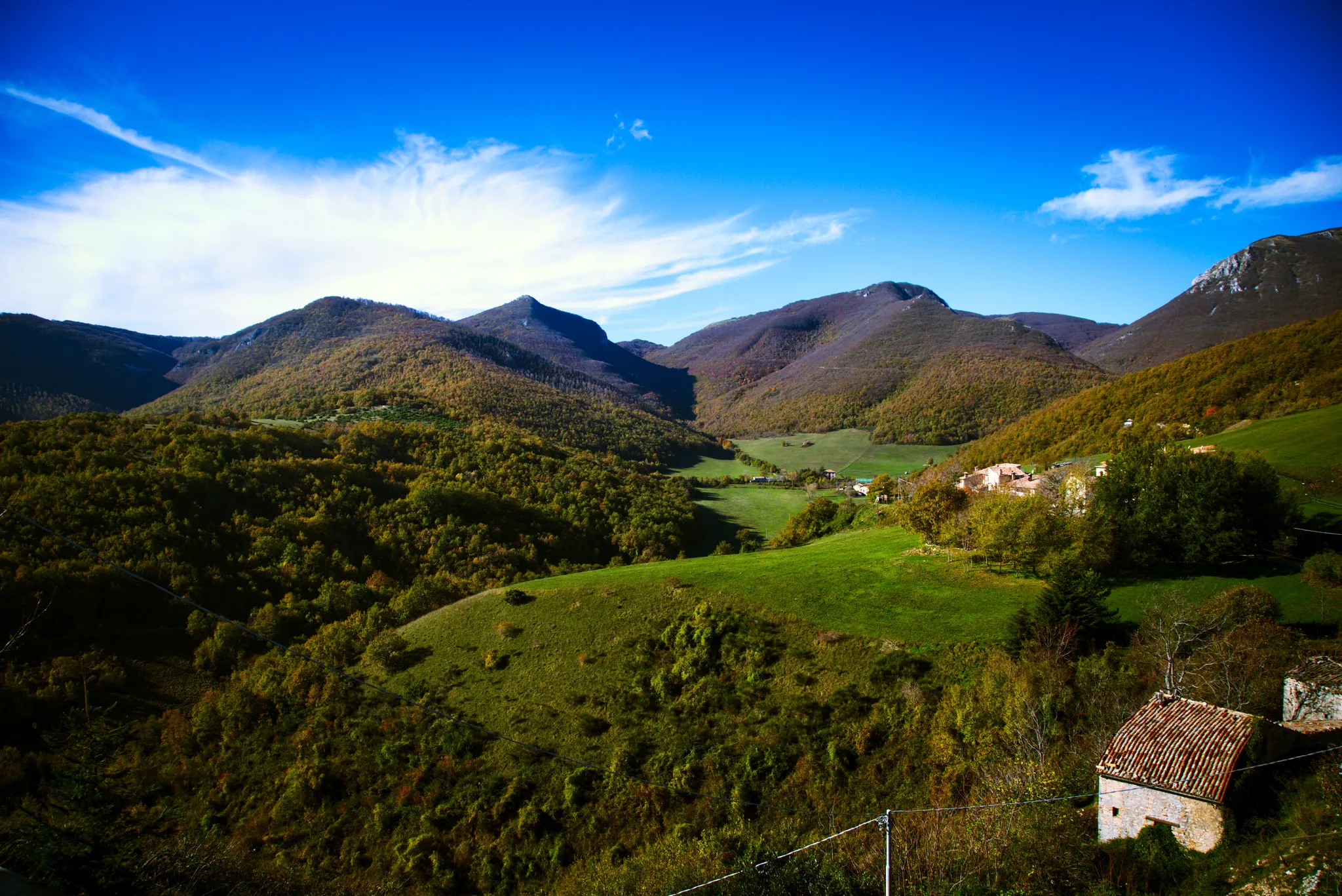
Hike the difficult 3.4-mile Way of the Forts - Stage 3, gaining 1033 feet in the Monte San Vicino e Canfaito Regional Natural Reserve.
15.6km
05:50
810m
810m
Hike the difficult 9.7-mile From Matelica to Monte Gemmo trail, gaining 2659 feet for panoramic views of rural landscapes and villages.

4.7
(78)
292
ハイカー
8.30km
03:31
530m
530m
難しいハイキング. ある程度のフィットネスレベルが必要です。 安定して歩行できる技術、丈夫な靴、高標高地での登山経験が必要です。
4.3
(15)
66
ハイカー
14.4km
05:01
690m
690m
難しいハイキング. 標準以上のフィットネスレベルが必要です。 ほとんどが歩ける道です。足元への注意が必要です。
4.4
(8)
44
ハイカー
9.27km
02:47
290m
290m
中程度のハイキング. ある程度のフィットネスレベルが必要です。 歩きやすい道です。
さらに多くのルートや他のユーザーのおすすめ情報を確認できます。
すでにアカウントをお持ちですか?
おすすめのツアーは他のkomootユーザーが実際に経験した何千ものアクティビティに基づいています。
無料アカウントで今日から始めよう
次の冒険が待っています。





コミュニティからのヒント

素晴らしいパノラマ、天気が良ければ海とモンテ・コネロがはっきりと見えます
0
0

view of the north-west slope of Mount San Vicino
0
0

I have climbed it many times and in all parts, but once I reach the top I am always enchanted!!
1
0
Trail suitable for everyone, not particularly difficult.
1
0

It is the highest mountain in the central Marche region
0
0

easy but with a semi-technical and slightly exposed path
0
0

komootモバイルアプリでインスピレーションを得よう


さらに探索
他の地域の最高のハイキングを見てみましょう。
