イングリアのおすすめライド
4.9
(71)
2,411
ライダー
33
ライド
イングリア周辺のロードバイクルートをお探しですか?ここでは、komootが提供するイングリアでのロードバイクライドのコレクション全体を評価して選び抜いた人気ルートをご紹介します。各ライドの詳細をぜひご覧ください。
最終更新日: 8月 25, 2026
4.5
(4)
84
ライダー
51.0km
02:54
1,130m
1,130m
難しいロードライド. 標準以上のフィットネスレベルが必要です。 全般的に舗装状態が良好で走行しやすい道です。
5.0
(1)
69
ライダー
47.6km
02:03
280m
280m
中程度のロードライド. ある程度のフィットネスレベルが必要です。 全般的に舗装状態が良好で走行しやすい道です。

無料新規登録
4.7
(3)
47
ライダー
46.9km
03:04
1,410m
1,410m
難しいロードライド. 標準以上のフィットネスレベルが必要です。 ツアーの一部に、未舗装のため走行が難しい箇所があるかもしれません。
5.0
(1)
41
ライダー
37.7km
02:03
770m
770m
中程度のロードライド. ある程度のフィットネスレベルが必要です。 全般的に舗装状態が良好で走行しやすい道です。
4.7
(3)
39
ライダー
56.5km
03:03
1,100m
1,100m
難しいロードライド. 標準以上のフィットネスレベルが必要です。 全般的に舗装状態が良好で走行しやすい道です。
さらに多くのルートや他のユーザーのおすすめ情報を確認できます。
無料新規登録
すでにアカウントをお持ちですか?
おすすめのツアーは他のkomootユーザーが実際に経験した何千ものアクティビティに基づいています。
無料アカウントで今日から始めよう
次の冒険が待っています。
ログインまたは登録

コミュニティからのヒント


The square is beautiful, with a lovely bell tower and well-preserved ancient walls behind it. Many works of art scattered around the various corners... worth seeing 🧐👍🏻
0
0

Leaving aside the chaos of the center, it is a pleasant city, rich in history and ideas for trekking and/or cycling.
0
0

A UNESCO World Heritage Site since 1997, the Ducal Castle of Agliè is perhaps the most significant architectural work in the Canavese area. The current appearance of the majestic castle is the result of four major construction phases, which led it to change its shape over the centuries, transforming it from a fortified building from the Middle Ages to a true royal residence, as can still be admired today.
1
0

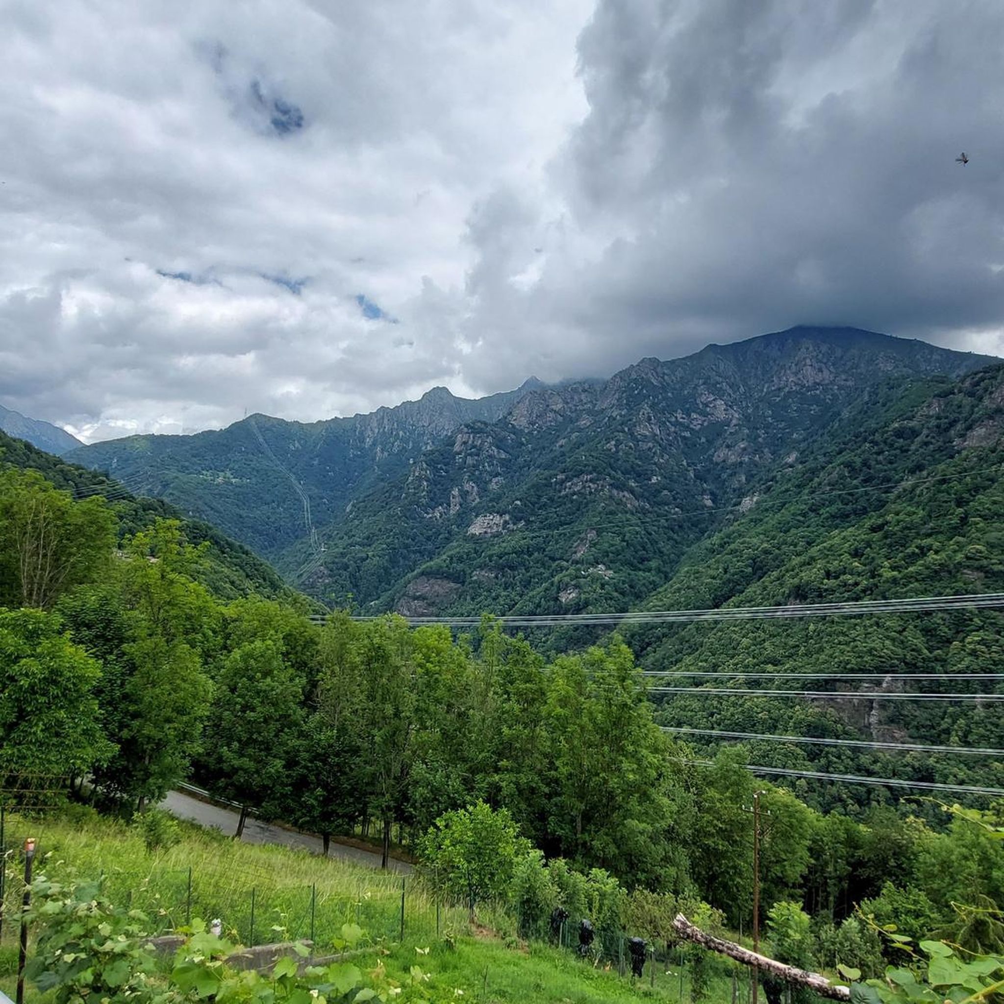
Ridiculous climb, road and valley, first 4 km with some hard but balanced stretches of flat ground, the last 7 km are tough. Very degraded asphalt, with eight sectors where the road has been restored after landslides, then asphalt disappeared. There are 8 drainage grates to watch out for, they cross the road and are made of iron rods that fit a 25 tire comfortably. With a road bike, to be avoided on days of uncertain weather, the road sees the constant presence of stones and armrests, with water I think it's a mess.
0
0
Climb, road and valley are steep, first 4 km with some hard but balanced stretches of flat ground, the last 7 km are tough. The asphalt is quite degraded, with eight sectors where the road has been restored after landslides, so the asphalt has disappeared. There are eight drainage grates to watch out for, they cross the road and are made of iron rods that can easily fit a 25 tire. With a road bike, to be avoided on days of uncertain weather, the road has the constant presence of stones and armrests, with water I think it's a mess.
0
0
Climb, road and valley are steep, first 4 km with some hard but balanced stretches of flat ground, the last 7 km are tough. The asphalt is quite degraded, with eight sectors where the road has been restored after landslides, so the asphalt has disappeared. There are eight drainage grates to watch out for, they cross the road and are made of iron rods that can easily fit a 25 tire. With a road bike, to be avoided on days of uncertain weather, the road has the constant presence of stones and armrests, with water I think it's a mess.
1
0

for updated info due to recent landslides on the road read here ➡️ http://www.rifugiopontese.it/ and/or contact the Pontese Refuge which can be reached on foot from the Sernior area
0
0

komootモバイルアプリでインスピレーションを得よう


さらに探索
他の地域の最高のロードサイクリングルートを見てみましょう。
