リボルドーネのおすすめライド
4.9
(83)
2,598
ライダー
35
ライド
リボルドーネ周辺のロードバイクルートをお探しですか?ここでは、komootが提供するリボルドーネでのロードバイクライドのコレクション全体を評価して選び抜いた人気ルートをご紹介します。各ライドの詳細をぜひご覧ください。
最終更新日: 11月 1, 2026
4.9
(39)
1,517
ライダー
82.8km
05:06
2,270m
2,270m
難しいロードライド. 標準以上のフィットネスレベルが必要です。 ツアーの一部に、未舗装のため走行が難しい箇所があるかもしれません。
5.0
(2)
98
ライダー
61.9km
03:24
1,270m
1,270m
難しいロードライド. 標準以上のフィットネスレベルが必要です。 全般的に舗装状態が良好で走行しやすい道です。

4.7
(3)
47
ライダー
46.9km
03:04
1,410m
1,410m
難しいロードライド. 標準以上のフィットネスレベルが必要です。 ツアーの一部に、未舗装のため走行が難しい箇所があるかもしれません。
5.0
(1)
41
ライダー
37.7km
02:03
770m
770m
中程度のロードライド. ある程度のフィットネスレベルが必要です。 全般的に舗装状態が良好で走行しやすい道です。
22
ライダー
31.1km
01:45
690m
690m
中程度のロードライド. ある程度のフィットネスレベルが必要です。 全般的に舗装状態が良好で走行しやすい道です。
さらに多くのルートや他のユーザーのおすすめ情報を確認できます。
すでにアカウントをお持ちですか?
おすすめのツアーは他のkomootユーザーが実際に経験した何千ものアクティビティに基づいています。
無料アカウントで今日から始めよう
次の冒険が待っています。

コミュニティからのヒント

完璧な一日に最高のサイクリング。雲ひとつない晴天で、気温も許容範囲内でした(9:30のFeyで1度、17時頃のColle del Nivoletでマイナス2.5度)。何より、道路が閉鎖されていたのが最高でした(自転車も禁止されているはずですが…どうやって行くの??)。車もバイクもいなくて、しかも月曜日…これ以上ない環境です。登りはそれほど過酷ではありませんが、多くの区間で平均勾配が9.5%あるため、トレーニングが必要です。一番きついのはSerùダムまでの道のりです。そこから先は8kmありますが、7%の区間と10%の区間が交互に現れ、最後は…とにかく…やり遂げるしかありません!雪が少し残る山々の景色は最高です。道路上に残雪は少なく、下り坂に氷もありませんでした。この時期、晴れた日でも17:30頃には日が沈み、寒さが身に染みます。夕日が岩肌を赤く染めます。Nivolet湖は凍結しており、道路上の雪のため自転車では近づけませんでした。日が全く当たらない場所のようです。しっかり防寒対策をしていれば、下り坂もそれほど寒くありません。夕方の醍醐味は、アイベックスが見られることです!そしてSerùダムには、人間から食べ物をもらおうと待っているキツネがいます…絶対に与えないでください。彼らにとって有害ですし、狩猟本能を失わせてしまいます。車をどこに停めたかにもよりますが、県道は暗く交通量も少ないので、強力なライトを装備してください。
0
0

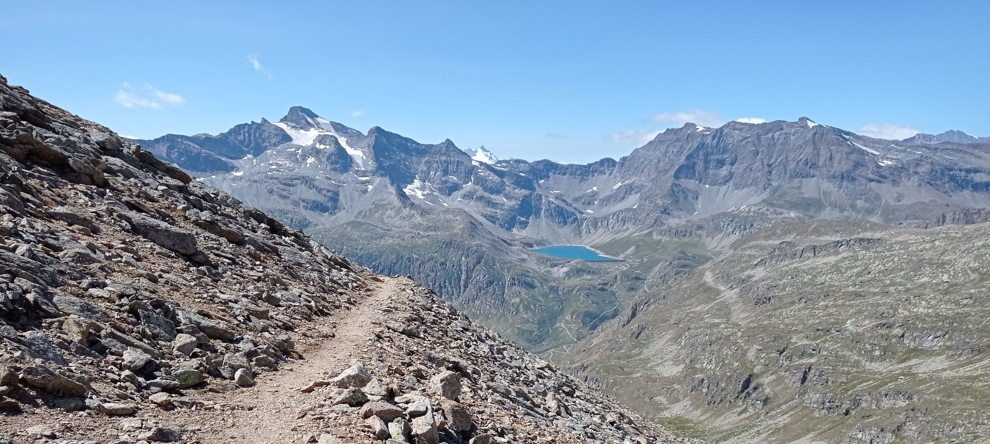
野スカの危険なヘアピンカーブを過ぎたら、長いトンネルには入らないでください。 トンネルに入る前に左側にある、チェーレゾーレ・レアーレまで続く古くて美しい道があります。
0
0

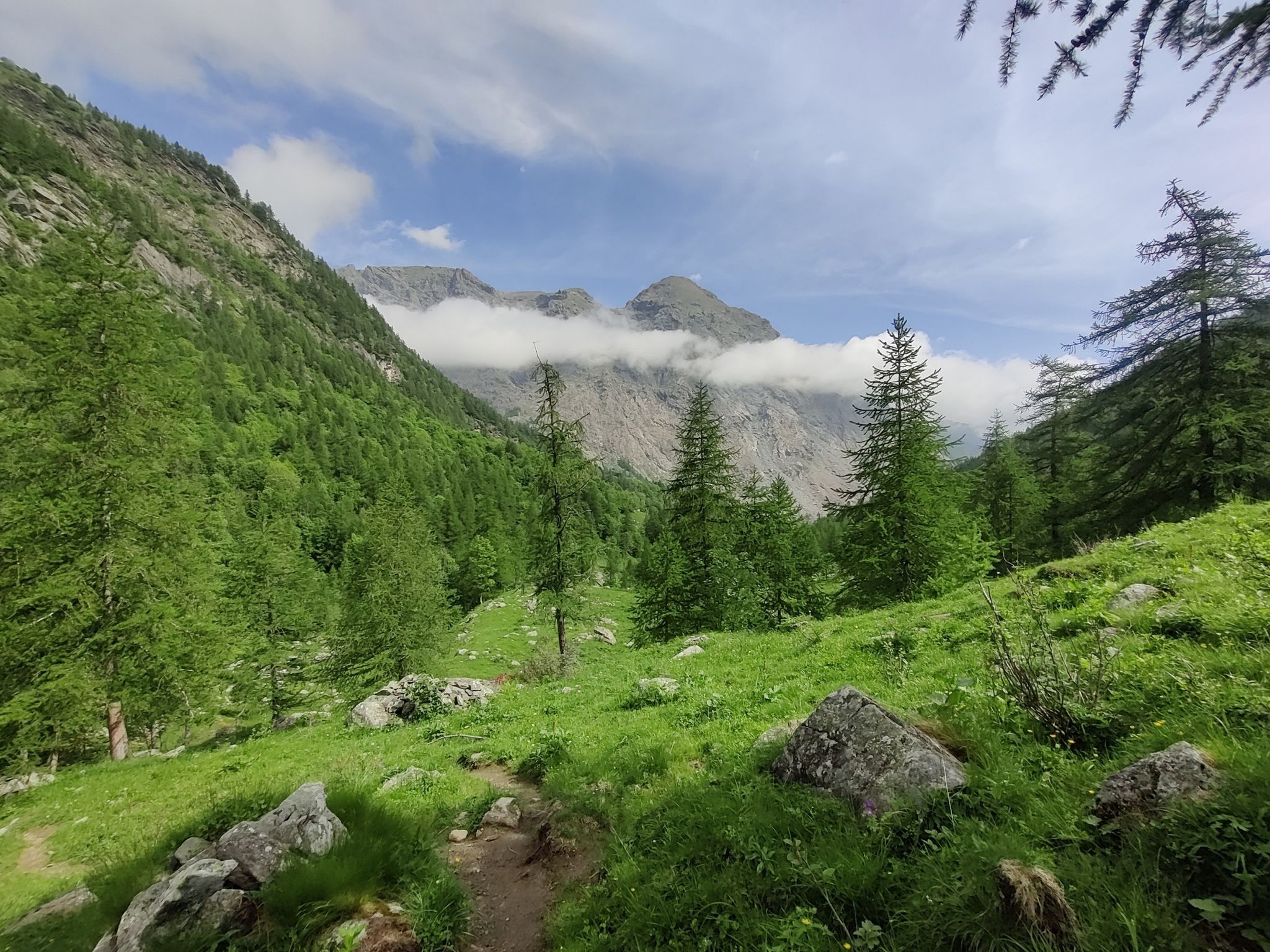
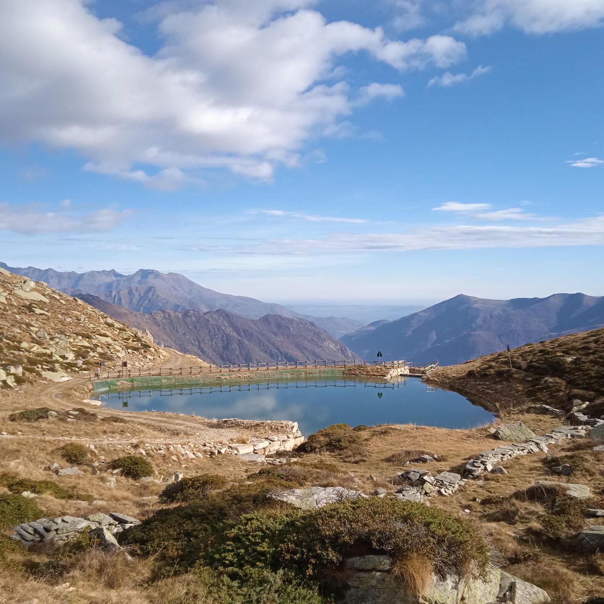
Punta Quinzeinaへのハイキングを開始するために駐車できる展望地点
1
0

View of the famous Noasca waterfall from the car-passage bridge
0
0

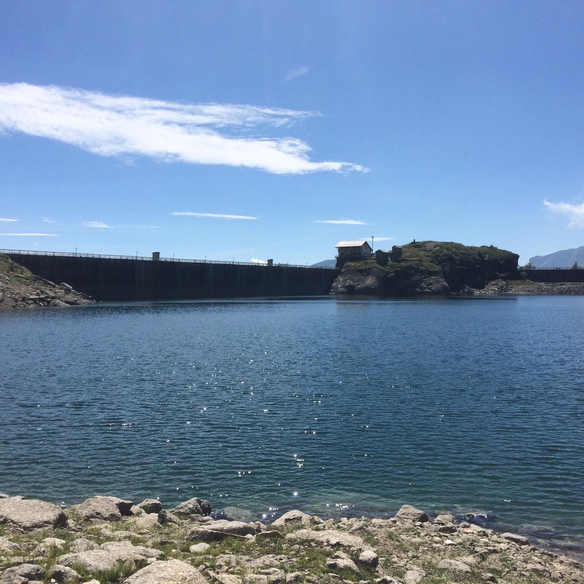
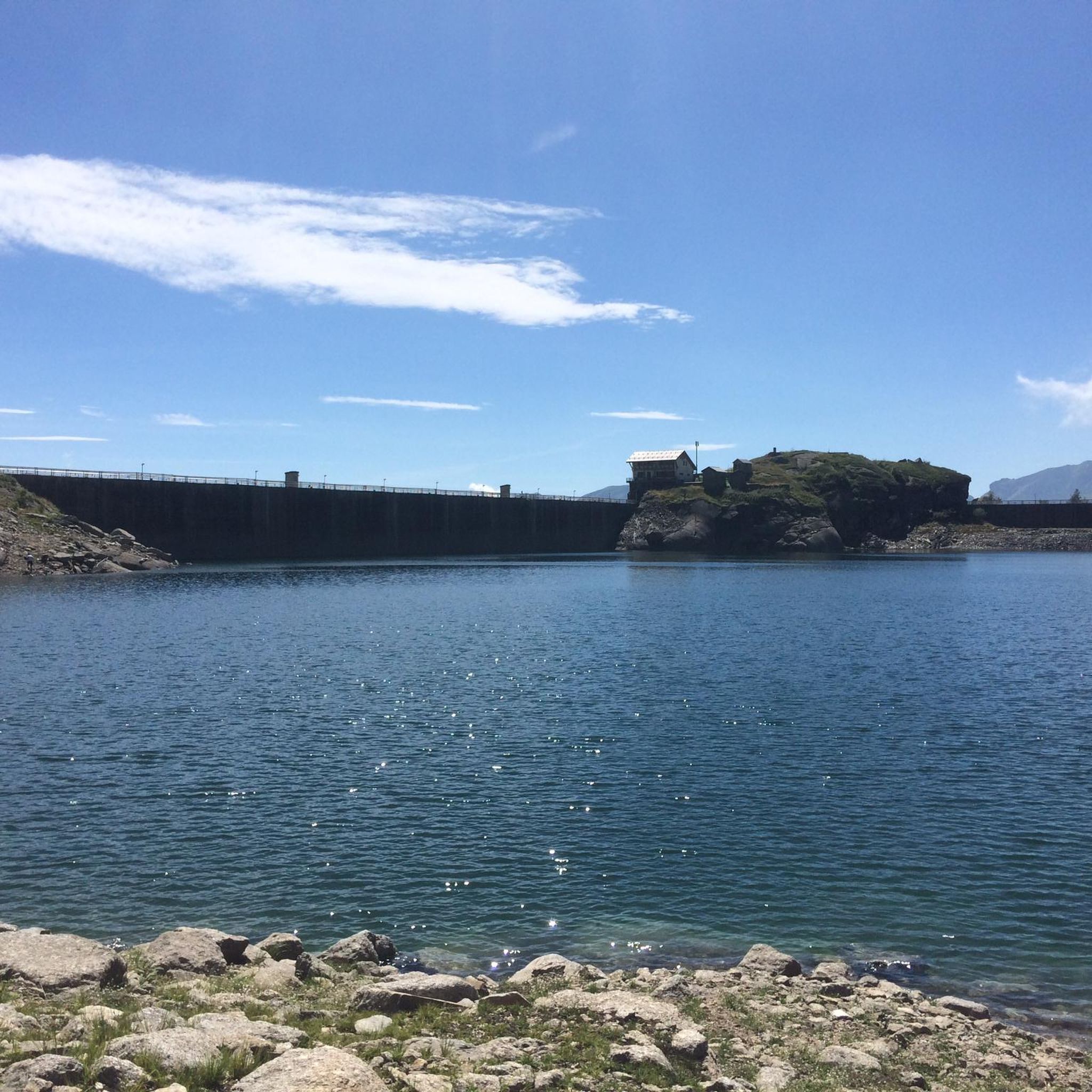
The road that draws an "S" on the dam is very scenic. All that remains is to tackle the last hairpin bends to the top and then enjoy the most beautiful view of the Alps and perhaps the world...
0
0

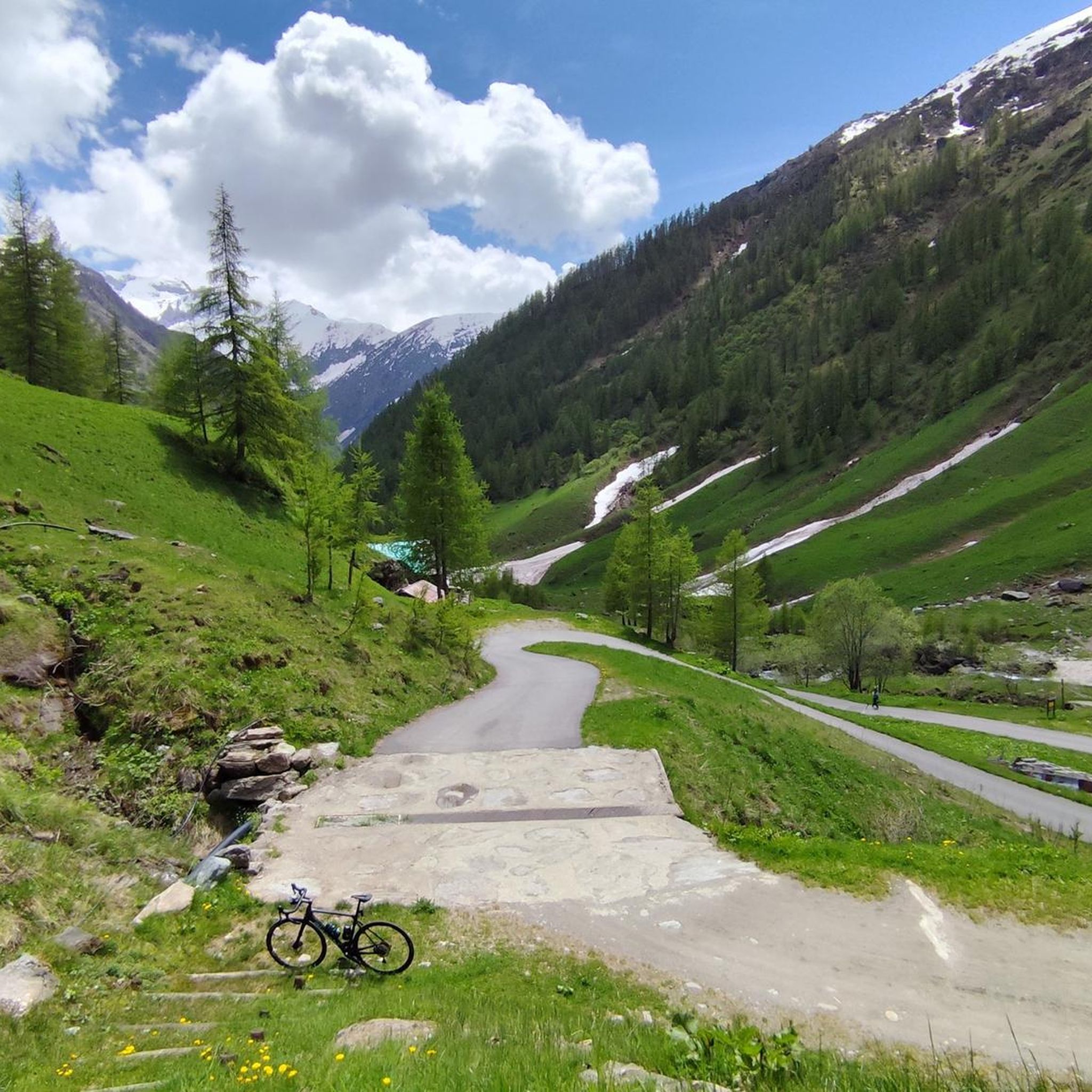
In reality, this place is not so "flat" because, from when the slopes become less steep to when the descent begins, there will not even be a hundred meters ... but the environment is superb, high mountain, and makes up for the road that, especially towards Frassinetto, is not in such good condition. There is nothing, not a bar, not a fountain ... but it is worth stopping and admiring the splendid panorama. Going up from Frassinetto the slope, after the village, becomes discontinuous and challenging, more gradual if you go up from Colleretto Castelnuovo, where the road alternates beautiful hairpin bends in the woods ... however, it is not a gift from this side either!
1
0

Leaving aside the chaos of the center, it is a pleasant city, rich in history and ideas for trekking and/or cycling.
0
0

Ridiculous climb, road and valley, first 4 km with some hard but balanced stretches of flat ground, the last 7 km are tough. Very degraded asphalt, with eight sectors where the road has been restored after landslides, then asphalt disappeared. There are 8 drainage grates to watch out for, they cross the road and are made of iron rods that fit a 25 tire comfortably. With a road bike, to be avoided on days of uncertain weather, the road sees the constant presence of stones and armrests, with water I think it's a mess.
0
0

komootモバイルアプリでインスピレーションを得よう


さらに探索
他の地域の最高のロードサイクリングルートを見てみましょう。
