ストロッピアーナのおすすめウォーキング&ハイキングルート
4.4
(111)
611
ハイカー
79
ハイキング
ストロピアーナ周辺のハイキングは、イタリアのヴェルチェッリ県を巡るルートを提供しており、セージア川の近くという立地と農業景観が特徴です。この地域は標高差が少なく穏やかな地形で、アクセスしやすい散策に適しています。トレイルは歴史的な場所や小さな町を結んでおり、自然と文化の両方を探索できます。この地域の平野部は、水田と河川環境が広がっています。
ストロピアーナ周辺のベストハイキングトレイル
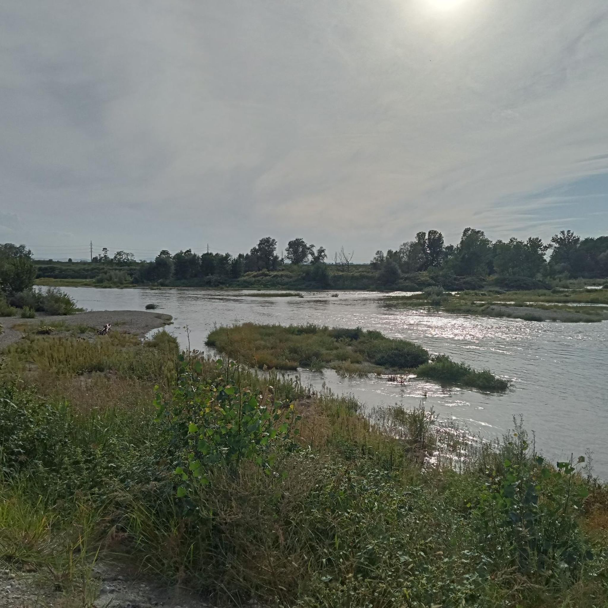
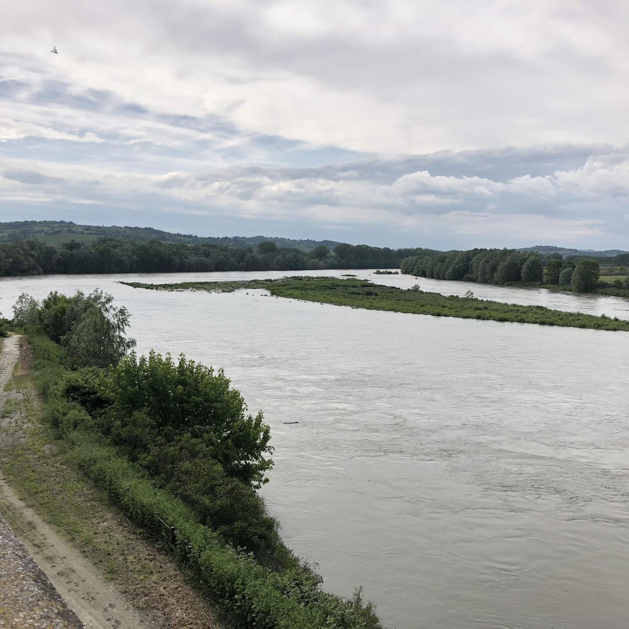
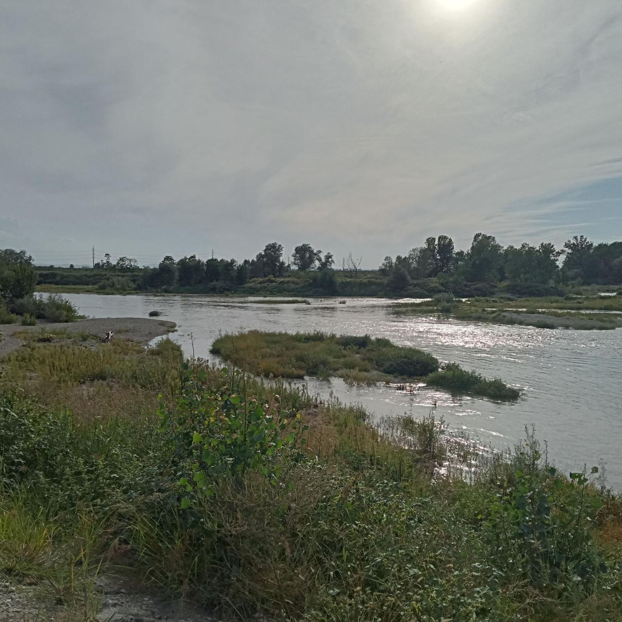
- 最も人気のあるハイキングルートは、セージア川横断ウォーク(ルート924経由)で、距離7.7マイル(12.4 km)、所要時間3時間7分です。この適度な難易度のルートはセージア川沿いに続き、周囲の平野の景色を楽しめます。
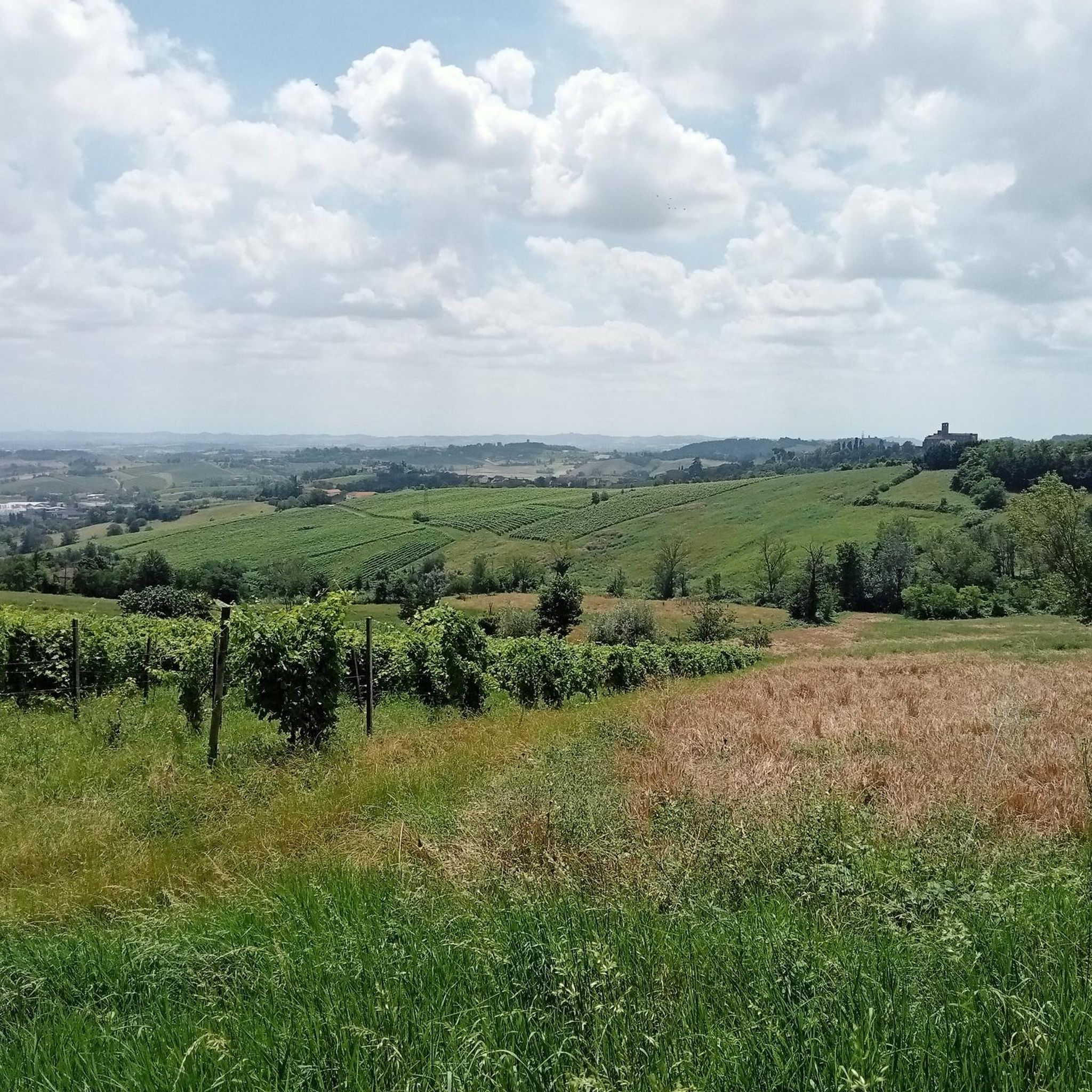
- 地元のハイカーに人気のもう一つのルートは、カザーレ・モンフェッラートからのフォルナチェ・ディ・カザーレ・ループで、距離6.2マイル(10.0 km)の適度な難易度のパスです。このパスは、農業地帯や郊外地域を通り抜けます。
- 地元のハイカーに愛されているのは、カザーレ・モンフェッラートからの聖ステファノ教会~マッツィーニ広場ループで、距離7.1マイル(11.4 km)、所要時間約2時間54分で、歴史的な場所や都市部を巡るトレイルです。
- ストロピアーナ周辺のハイキングは、河川沿いの道、農地、歴史的な町とのつながりによって特徴づけられます。このネットワークは、簡単な散策から適度な難易度の小旅行まで、さまざまなレベルのオプションを提供しています。
- ストロピアーナのルートは、komootコミュニティから高く評価されており、60件以上のレビューで平均4.1つ星を獲得しています。300人以上のハイカーがkomootを利用して、ストロピアーナの多様な地形を探索しています。
最終更新日: 10月 4, 2026
3.9
(24)
119
ハイカー
18.7km
04:45
20m
40m
中程度のハイキング. ある程度のフィットネスレベルが必要です。 進みやすいルートです。あらゆるスキルレベルに適しています。
12.4km
03:07
10m
10m
Riverside walk crossing the historic Sesia River through Piemonte's rice paddies and quiet countryside.

5.0
(1)
57
ハイカー
5.44km
01:23
20m
20m
初級者向けハイキング. あらゆるフィットネスレベルに適しています。 進みやすいルートです。あらゆるスキルレベルに適しています。
4.7
(15)
15
ハイカー
9.11km
02:19
30m
30m
中程度のハイキング. ある程度のフィットネスレベルが必要です。 進みやすいルートです。あらゆるスキルレベルに適しています。
17
ハイカー
6.06km
01:41
110m
110m
初級者向けハイキング. あらゆるフィットネスレベルに適しています。 進みやすいルートです。あらゆるスキルレベルに適しています。
さらに多くのルートや他のユーザーのおすすめ情報を確認できます。
すでにアカウントをお持ちですか?
おすすめのツアーは他のkomootユーザーが実際に経験した何千ものアクティビティに基づいています。
無料アカウントで今日から始めよう
次の冒険が待っています。

コミュニティからのヒント


XNUMX世紀からXNUMX世紀にかけてカザーレ・モンフェッラートを特徴づけたセメントとレンガの生産に関連する産業考古学の場所のXNUMXつ。
8
0


Giovanni II Paleologo, Marquis of Monferrato, ordered the current castle to be built and work continued until 1357. When Casale assumed the role of capital of the Margraviate of Monferrato and obtained the title of city in 1474, it also changed castle, seat of the court, after the restoration with the marquises Guglielmo VIII (1464-1483) and Bonifacio V (1483-1494). When Giovanni II Paleologo died, the Gonzaga of Mantova took control of Casale. The castle was strengthened by new military techniques, so the walls and the plan shape were adjusted so that it became hexagonal (which we can still see today). The towers were also strengthened and four new ravelins were added. At the beginning of the seventeenth century, the castle returned to its role as the seat of the court. The Dukes of Mantova, who were busy negotiating with Savoia, stayed there. Later it became the principality of Duke Carlo II Gonzaga-Nevers (1637-1665), who holidayed there many times with his entire court, which gave a boost to the cultural life in Casale. Due to the crisis of the Gonzaga dynasty, the castle was on the verge of decline. The city fell to Savoia in 1708 and the castle became a barracks. In the mid-19th century, Casale was fortified in preparation for a war against Austria and the castle became a defensive structure. The eastern ravelin was demolished, creating the current Piazza Castello, which became an open-air market zone. With the unification of Italy, the other three ravelins were also demolished.
1
0
Santa Croce was originally a Gothic church, to which a neoclassical facade was added in 1748, designed by the Casalese architect Francesco Ottavio Magnocavallo. Today it is a deconsecrated church whose internal space has been converted into an original setting for shops, restaurants and a bar. The MyCafe is not only a popular stop for an aperitif, but also organizes evenings of music and entertainment. The complex is located on the main pedestrian street in the city center.
1
0

This beautiful church was built in 1220, during a prosperous period. The style is a combination of Northern Gothic (vertical towers and octagonal bell tower) and the typical style from the Po Valley (triangular gable, arches and use of brick). The facade, a colorful whole of stone and marble, is flanked by high towers and has three vaulted porches; The tympanums are probably by sculptor Benedetto Antelami. The very massive bell tower (right) dates from the 15th century. The sober interior with three naves has a choir with wooden inlay and the funerary monument (14th century) of Tomasso Gallo, first abbot of the basilica (second chapel in the right transept). The left aisle leads to the monastery buildings and to the cloister, which offers beautiful views of the complex.
8
0

In addition to the Basilica of Sant' Andrea and the Cathedral of Sant' Eusebio, also interesting are the Avogadro Tower, Piazza Cavour with its porticoes, the statue of Cavour and the nearby Torre dell'Angelo visible from the square.
2
0

The Basilica of Sant'Andrea is one of the most important and well-known monuments in Vercelli. It is the first Gothic monument in Piedmont, one of the earliest in Italy in this style, an example of Romanesque-Gothic architecture, in which local Romanesque and the novelties of Cistercian Gothic coexist. It has the dignity of a minor basilica. It was begun in 1219 by the will of Cardinal Guala Bicchieri and completed in 1227. Source: Wikipedia
4
0
ストロッピアーナでのの人気観光スポット

komootモバイルアプリでインスピレーションを得よう


さらに探索
他の地域の最高のハイキングを見てみましょう。
