ルート

プランナー

機能

アップデート

App

ログインまたはサインアップ

アプリを入手

ログインまたはサインアップ

ルート
Places to see
イタリア
ピエモンテ
ヴェルチェッリ

サンティア

サンティア周辺のアトラクション&必見スポット - トップ20


サンティアには必見のスポットがたくさんあります。ハイキング愛好家やサイクリング愛好家の方は、ぜひサンティアを探索してこのエリアにある20
の隠れたスポットを訪れてみてください。このエリアの必見スポットを確認し、次の冒険に出かける計画を立てましょう。

最終更新日: 7月 7, 2026

ヴィヴェローネ湖の杭上住居集落

ハイライト • 歴史的な場所

A few meters below the water level, the remains of approximately 5000 poles stuck in the ground have been preserved, evidence of an ancient pile-dwelling village dating back to the …

翻訳者 Google •

役立つ情報

によるものです

ここでのライドを見る

スマートフォンに送信

保存

ベルティニャーノ湖

ハイライト • 湖

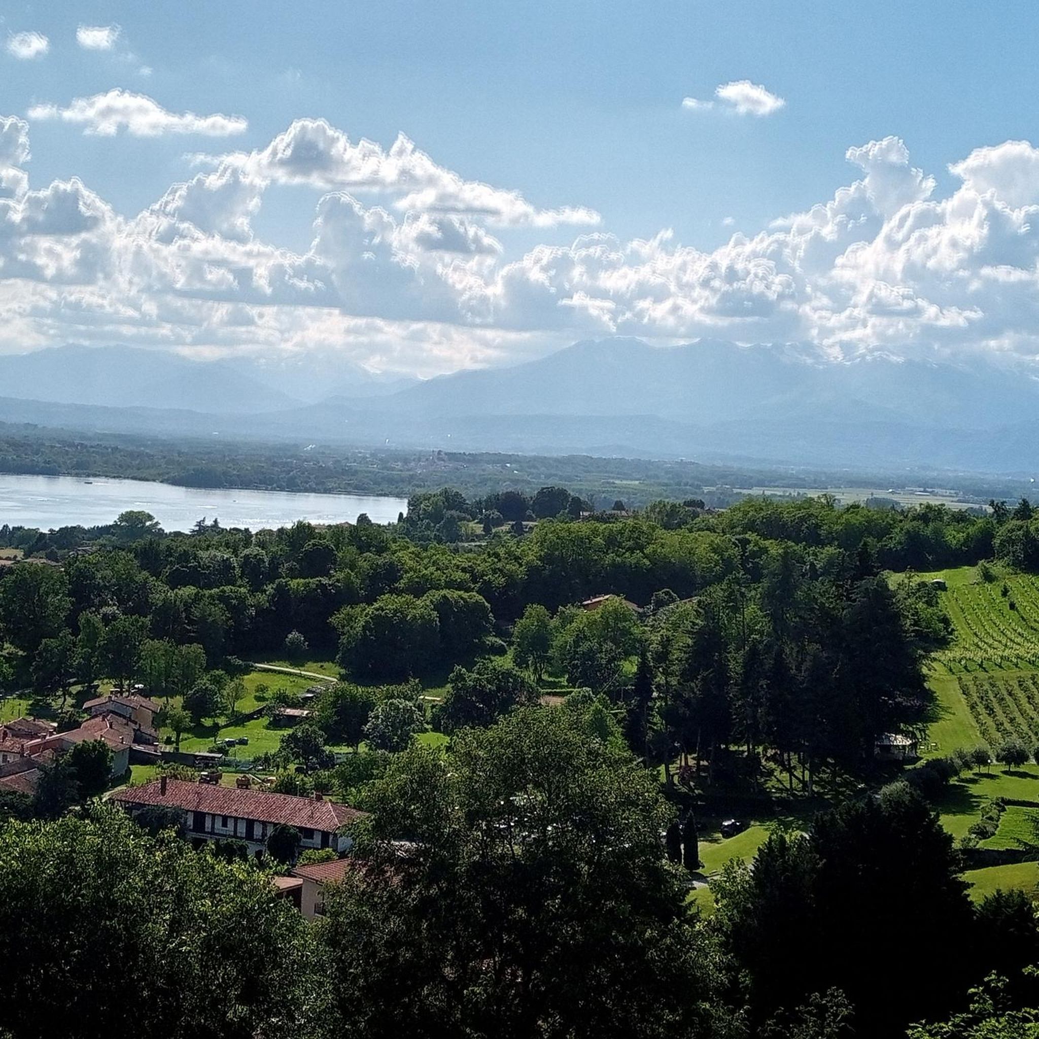
Lake Bertignano and its Special Conservation Area are located not far from the larger Lake Viverone and from Zimone. The lake was formed following the retreat of the Balteo glacier, …

翻訳者 Google •

役立つ情報

によるものです

保存

今すぐサインアップして、こんな場所を発見しよう

最高のシングルトラック、ピーク、その他のエキサイティングなアウトドアスポットのおすすめを受け取ろう。

無料新規登録

サンタ・マリア・デッラ・チェッラの聖域

ハイライト • 宗教的な場所

The church of S. Maria di Meoglio, today known as the Sanctuary of the Madonna della Cella, is located in the middle of the woods and is the center of …

翻訳者 Google •

役立つ情報

によるものです

保存

サンタガタ教区

ハイライト • 宗教的な場所

Inside the charming parish of the city of Santhià is the Romanesque crypt. The vault of the central nave is wonderfully frescoed.

翻訳者 Google •

役立つ情報

によるものです

保存

カヴァリャ町中心部

ハイライト • 集落

The territory of Cavaglià, largely flat, extends at the foot of the morainic hill of Serra, which separates Biella from Ivrea and is the longest moraine hill in Europe; There …

翻訳者 Google •

役立つ情報

によるものです

保存

無料でサインアップして、さらに多くの観光スポットを発見しましょう サンティアでの。

無料新規登録

すでにアカウントをお持ちですか?

無料アカウントで今日から始めよう

次の冒険が待っています。

ログインまたは登録

サンティア周辺で人気

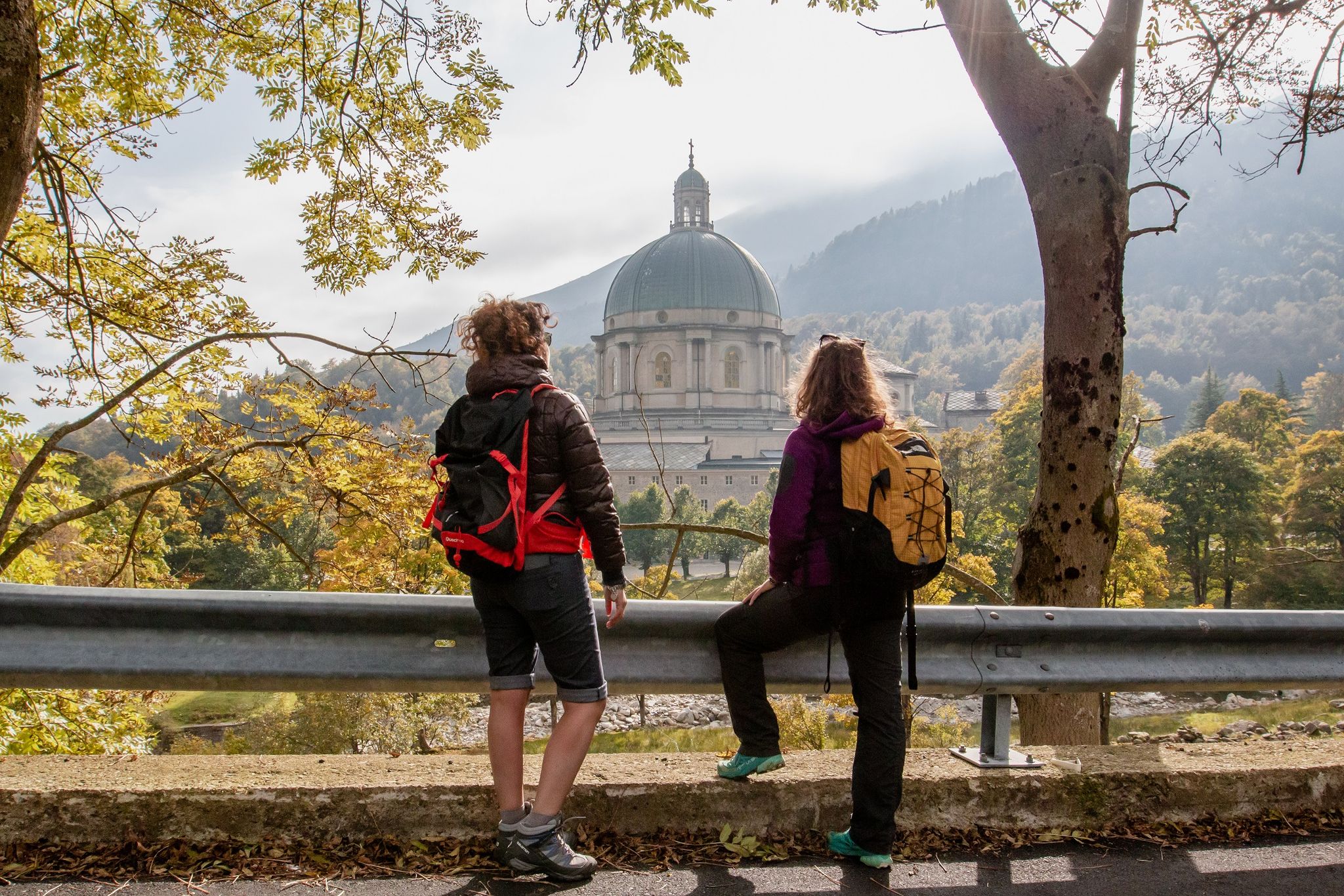
Cammino di Oropa della Serra — Hiking to one of Italy's Holy Mountains

イタリアの信仰と自然の間 - セラ・オロパ自転車道ハイライト:- セラ・オロパ自転車道

サンティアでのハイキング

サンティアでのサイクリング

サンティアのロードバイクルート

サンティアでののグラベルライド

サンティアのMTBトレイル

サンティアのランニングコース

サンティアでのの他の冒険

Cammino di Oropa della Serra — Hiking to one of Italy's Holy Mountains

ハイキングのコレクション によって

Piemonte

コミュニティからのヒント

Willem VS
9月 3, 2024, Parrocchia di Sant'Agata

The Collegiata di Sant’Agata in Santhià, a comune in the province of Vercelli, Piedmont, Italy, is an impressive church located in the central Piazza Roma, not far from the town hall. Although the original Romanesque building from the 12th century has now disappeared, there are still remains of the northern exterior, the semicircular apse and the stone bell tower. The present church, designed by architect Giuseppe Talucchi, was built between 1836 and 1839 in Neoclassical style. The facade is characterized by a large pronao, supported by six columns, with vaults painted by the artist Luigi Hartmann. Inside is a valuable polittico by Gerolamo Giovenone.

Google翻訳による翻訳

5

0

It is very particular because it is isolated in the middle of the woods and you suddenly discover it and then dive back into the bush

Google翻訳による翻訳

6

0

The church of S. Maria di Meoglio, today known as the Sanctuary of the Madonna della Cella, is located in the middle of the woods and is the center of the ancient settlement of Meoglio. Next to the church, rebuilt in 1848, the ruins of the old monastery can still be seen, documentary sources attest to the presence of the Cella di Meoglio among the possessions of the Monastery of Lucedio and here, according to tradition, in 1001 San Bononio worked a miracle there .

Google翻訳による翻訳

7

0

The Collegiata di Sant'Agata in Santhià, a municipality in the province of Vercelli, Piedmont, is an impressive church located in the central Piazza Roma, not far from the town hall. Although the original 12th century Romanesque building has now disappeared, remains of the northern exterior, semi-circular apse and stone bell tower still remain. The current church, designed by architect Giuseppe Talucchi, was built between 1836 and 1839 in a neoclassical style. The facade is characterized by a large pronao, supported by six columns, with vaults painted by artist Luigi Hartmann. Inside is a valuable polittico by Gerolamo Giovenone.

Google翻訳による翻訳

5

0

The territory of Cavaglià, largely flat, extends at the foot of the morainic hill of Serra, which separates Biella from Ivrea and is the longest moraine hill in Europe; There is approximately 250 m of altitude between the highest and lowest parts of the municipality. The city is located in an area that has been populated since ancient times; The Celts gave names to various regions around the capital. Cavaglià is one of the municipalities of Biella along the Cammino di Oropa and the Via Francigena, an ancient route that in the Middle Ages connected Canterbury with Rome and the ports of Puglia, today rediscovered by modern travelers, who have traveled a beautiful and surprising route. For more information, visit the official website https://www.viefrancigene.org/it/. The municipal council has created a "Hostel for Pilgrims along the Via Francigena", which makes it available for a small symbolic amount to those who decide to undertake the Camino. https://www.comune.cavaglia.bi.it/aree-tematiche/turismo

Google翻訳による翻訳

6

0

The oasis they built with a wooden construction overlooking the lake is very pleasant

Google翻訳による翻訳

2

0

The Sanctuary is located in a very particular position, immersed in the woods and at the crossroads of numerous paths, which lead to this small clearing where the church stands.

Google翻訳による翻訳

2

0

In Lake Viverone, the remains of around 5000 poles driven into the ground which supported the structures of a very ancient large pile-dwelling village dating back to the Bronze Age have been extraordinarily preserved. The site has an important archaeological value, artefacts such as swords, axes, pins and ornaments have been discovered, which have allowed us to reconstruct the life of a Bronze Age community. The site is now a World Heritage Site.

Google翻訳による翻訳

4

0

サンティアでのの人気ルート

サンティアでのハイキング

サンティアでのの人気観光スポット

Lakes

Store rating

komootモバイルアプリでインスピレーションを得よう

無料のkomootアカウントがあれば、無限のアウトドアコースを簡単に見つけてカスタマイズし、ナビで案内できます。

または

今すぐkomootに参加しよう

Store rating

さらに探索

まだ探しているハイライトが見つかりませんか?他の地域のトップアトラクションのガイドを見てみましょう:

アラーニャ・ヴァルセージアカンペルトーニョバラッロヴァルドゥッジャリーヴァ・ヴァルドビアチヴィアスコセリオカルコーフォロリーマサンジュゼッペブレイアモンクリヴェッロチリアーノモリアボルゴ・ダーレラッサボッチョレートアリス・カステッロロアージオサルッジャボルゴセジアリマスコガッティナラロッツォロセッラヴァッレセシアピオーデレンタフォレスターロヴァゼンダピラクアローナカリージオリヴォルノフェラーリスサビアクラヴァリアーナフォベッロブロンツォリメッラスコペッロチェルヴァットバルムッチアポストゥアVoccaトロンツァーノヴェルチェッレスロッサスコパビアンツェフォルミリアーナアルボリオバロッコギズラレンゴサンジャコモヴェルチェッレスボルゴ・ヴェルチェッリランポーロオルデニーココッロビアーノQuinto Vercelleseカレザナブロトアルバーノ・ヴェルチェレーゼパラッツォーロヴェルセレーゼヴィッラータヴィラルボイトコスタンツァーナトリノサンジェルマーノヴェルセレーゼクレシェンティーノストロッピアーナフォンタネットポーロンセッコサラスコオルチェネンゴカレザーナリニャーナペルテンゴペッツァーナサーリ・ヴェルチェレーゼトリチェッロクロバカザノーヴァエルボプラローロRiveグレジオデサナモッタデコンティアジリアーノヴェルセレーゼ

近くのアドベンチャーガイド

カリージオでやるべきこと

background

新しいピークを征服する準備をしよう

無料でサインアップ

探検する
ルートルートプランナー機能ハイキングMTBトレイルロードバイクルートバイクパッキングサイトマップ
アプリをダウンロード
SNSでフォローする

© komoot GmbH

プライバシーポリシー