アントローナ・スキエランコのおすすめランニングルート
4.6
(66)
2,267
ランナー
80
ランニング
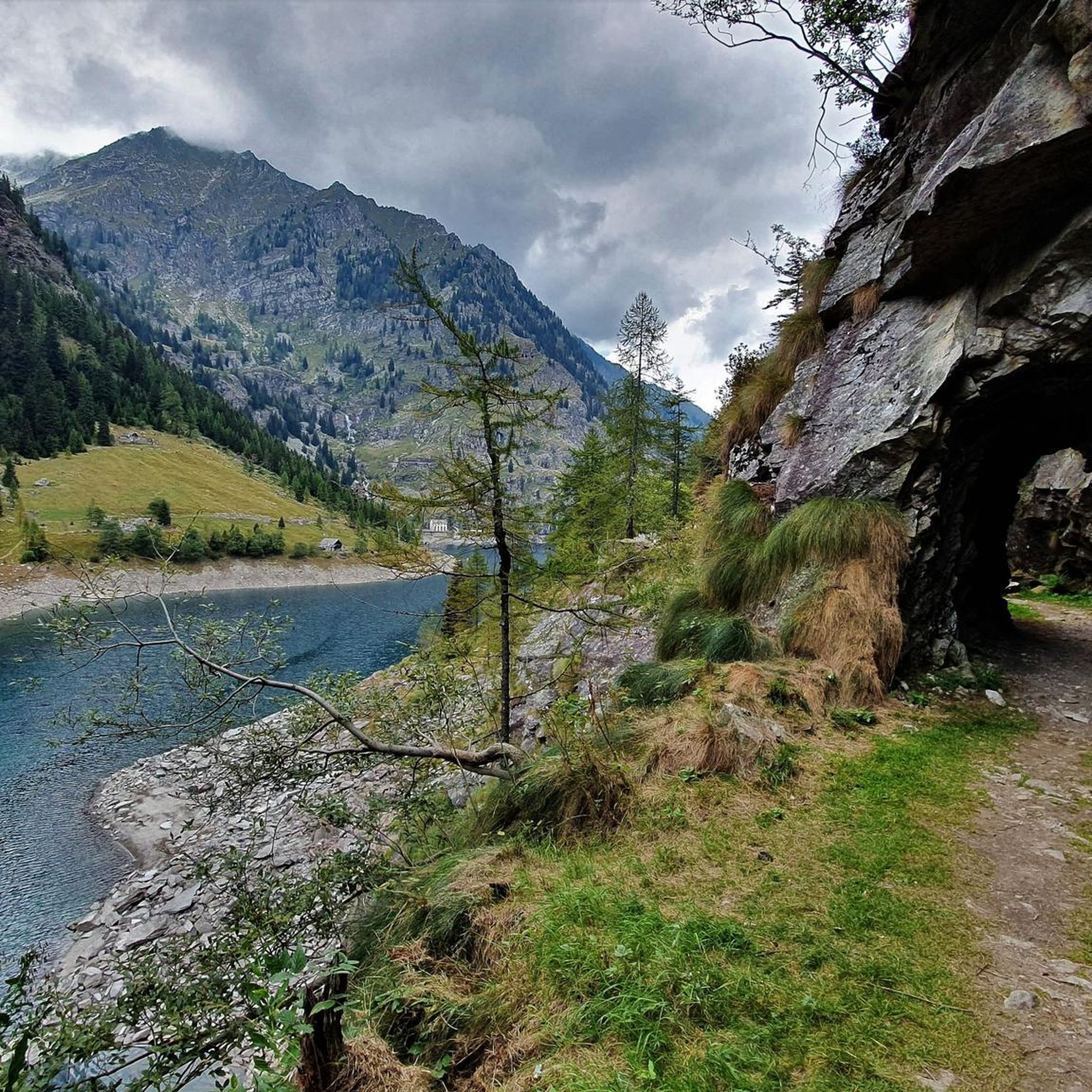
Jogging around Antrona Schieranco offers diverse routes through the Alta Valle Antrona Natural Park. The region is characterized by numerous mountain lakes, including Lake Antrona and Lake Alpe dei Cavalli, providing picturesque backdrops for runs. Terrain varies from gentle paths around the lakes to more challenging mountain trails with significant elevation changes, surrounded by alpine peaks and lush forests. This natural environment provides a tranquil setting for various running experiences.
Best jogging routes around Antrona Schieranco
- The most popular jogging…
最終更新日: 8月 28, 2026
5.0
(2)
31
ランナー
12.2km
02:02
590m
590m
難しいジョギング. 標準以上のフィットネスレベルが必要です。 安定して歩行できる技術、丈夫な靴、高標高地での登山経験が必要です。
30
ランナー
22.1km
04:22
1,410m
1,410m
難しいジョギング. 標準以上のフィットネスレベルが必要です。 安定して歩行できる技術、丈夫な靴、高標高地での登山経験が必要です。

無料新規登録
8
ランナー
13.0km
02:01
430m
440m
難しいジョギング. 標準以上のフィットネスレベルが必要です。 安定して歩行できる技術、丈夫な靴、高標高地での登山経験が必要です。
8
ランナー
5.54km
00:55
290m
290m
難しいジョギング. ある程度のフィットネスレベルが必要です。 安定して歩行できる技術、丈夫な靴、高標高地での登山経験が必要です。
10
ランナー
13.8km
02:30
660m
660m
難しいジョギング. 標準以上のフィットネスレベルが必要です。 安定して歩行できる技術、丈夫な靴、高標高地での登山経験が必要です。
さらに多くのルートや他のユーザーのおすすめ情報を確認できます。
無料新規登録
すでにアカウントをお持ちですか?
おすすめのツアーは他のkomootユーザーが実際に経験した何千ものアクティビティに基づいています。
無料アカウントで今日から始めよう
次の冒険が待っています。
ログインまたは登録


アントローナ・スキエランコでのの他の冒険

コミュニティからのヒント


For connoisseurs! Forests, lakes, meadows, and delicious polenta. Everything your heart desires. 👍
0
0

A beautiful vantage point of the Mattmark Reservoir. This reservoir is located at the southern end of the Saas Valley at an altitude of 2,197 meters, nestled in the impressive mountains near Saas-Almagell. With a length of approximately three kilometers and a maximum width of 800 meters, it is one of the larger reservoirs in the region. It is fed by various mountain streams, such as the Saaser Vispa, the Schwarzbergbach, and the Ofentalbach. Behind the imposing 120-meter-high earthfill dam, the Vispa continues downstream toward the Rhone Valley.
0
0
Surrounded by high alpine tranquility and glacial peaks, the turquoise-blue Mattmarksee lies at your feet. This artificial lake is located at over 2,000 meters in the farthest reaches of the Saas Valley. It stores meltwater and supplies the region with renewable energy.
1
0

The Mattmark Reservoir is a reservoir located in the municipality of Saas-Almagell at the southern end of the Saas Valley in the Visp district of the canton of Valais in Switzerland. The lake is used by Kraftwerke Mattmark AG to generate electricity. In 1965, a glacier collapse during construction claimed 88 lives. Wikipedia
2
0


Lago di Campiccioli, located above Lago di Antrona, offers a breathtaking natural spectacle. Reachable in 40 minutes of climbing, you can walk around the lake on a flat path, with spectacular views from the dam and the possibility of exploring a small glacier. A beautiful place, but the path is tortuous and not suitable for small children.
2
0
アントローナ・スキエランコでのの人気観光スポット

komootモバイルアプリでインスピレーションを得よう


さらに探索
他の地域の最高のランニングトレイル & ルートを見てみましょう。
