エストレーラ山脈のおすすめライド
4.7
(147)
5,804
ライダー
360
ライド
このガイドでご紹介するのは、komootがエストレーラ山脈でのロードバイクルートのコレクション全体を評価して選び抜いた、このエリアの人気バイクライドです。あなたに合ったものを見つけるには、以下のルートをクリックして標高データや舗装状態の分析などの細かな情報を把握し、さらにkomootコミュニティのメンバーが投稿した役立つ情報や写真も閲覧しましょう。
最終更新日: 10月 10, 2026
5.0
(3)
216
ライダー
70.7km
04:35
1,910m
1,910m
難しいロードライド. 標準以上のフィットネスレベルが必要です。 全般的に舗装状態が良好で走行しやすい道です。
5.0
(2)
107
ライダー
53.9km
03:19
1,400m
1,400m
This difficult 33.5-mile road cycling route to Alto do Trevim offers significant elevation gain and panoramic views in Serra da Lousã.

18
ライダー
83.7km
04:54
1,970m
1,970m
This difficult 52.0-mile road cycling loop from Manteigas in Serra da Estrela offers challenging climbs and stunning mountain views.
5.0
(1)
18
ライダー
51.8km
03:12
1,370m
1,370m
難しいロードライド. 標準以上のフィットネスレベルが必要です。 全般的に舗装状態が良好で走行しやすい道です。
9
ライダー
43.0km
02:28
950m
960m
難しいロードライド. 標準以上のフィットネスレベルが必要です。 全般的に舗装状態が良好で走行しやすい道です。
1
ライダー
81.7km
05:05
2,230m
2,230m
難しいロードライド. 標準以上のフィットネスレベルが必要です。 全般的に舗装状態が良好で走行しやすい道です。
170
ライダー
99.4km
05:28
2,030m
2,030m
難しいロードライド. 標準以上のフィットネスレベルが必要です。 ツアーの一部に、未舗装のため走行が難しい箇所があるかもしれません。
4.8
(5)
161
ライダー
57.3km
03:38
1,680m
1,680m
難しいロードライド. 標準以上のフィットネスレベルが必要です。 全般的に舗装状態が良好で走行しやすい道です。
4.5
(4)
158
ライダー
55.5km
03:46
1,760m
1,760m
難しいロードライド. 標準以上のフィットネスレベルが必要です。 全般的に舗装状態が良好で走行しやすい道です。
4.8
(5)
129
ライダー
81.0km
04:59
2,120m
2,120m
難しいロードライド. 標準以上のフィットネスレベルが必要です。 全般的に舗装状態が良好で走行しやすい道です。
さらに多くのルートや他のユーザーのおすすめ情報を確認できます。
すでにアカウントをお持ちですか?
おすすめのツアーは他のkomootユーザーが実際に経験した何千ものアクティビティに基づいています。


コミュニティからのヒント

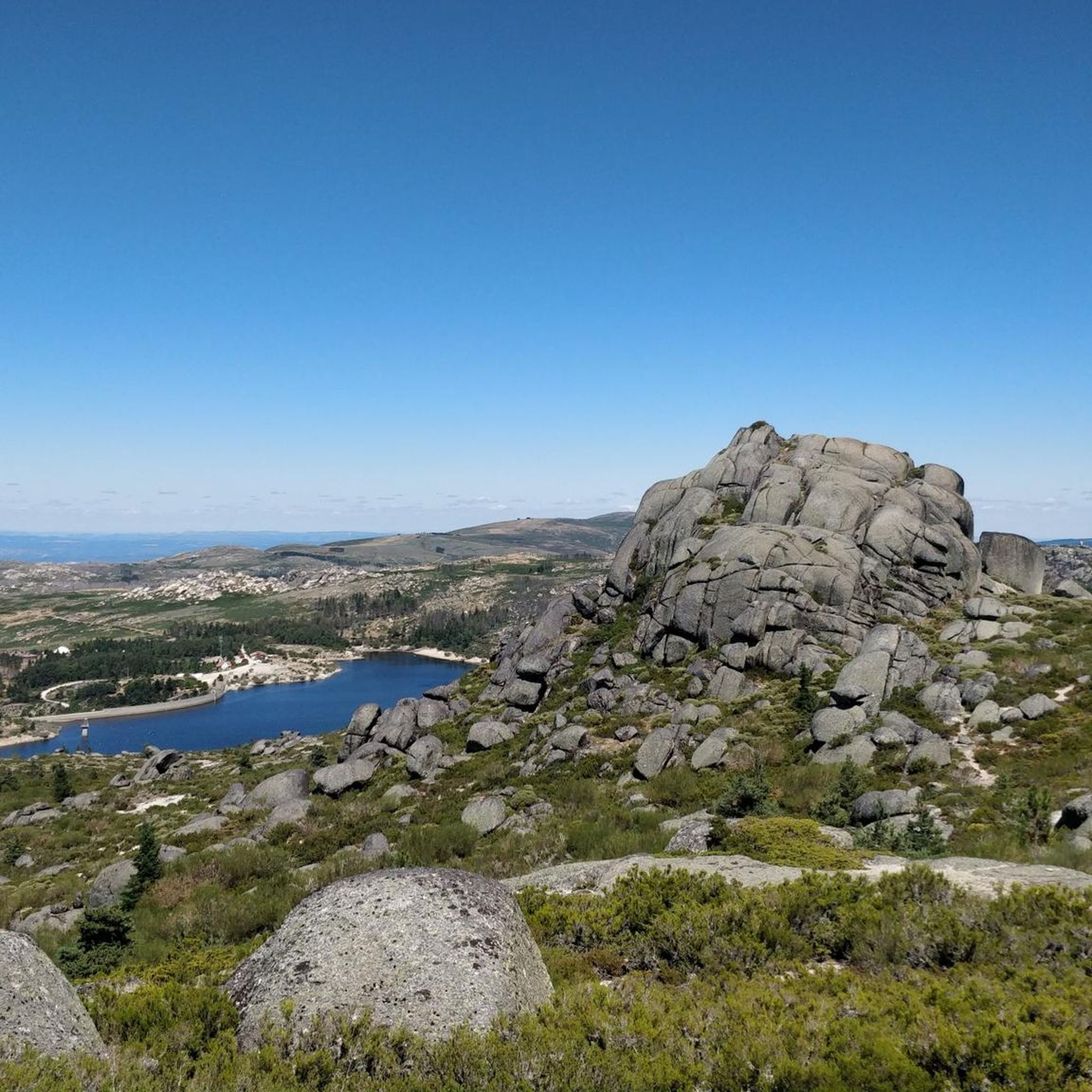
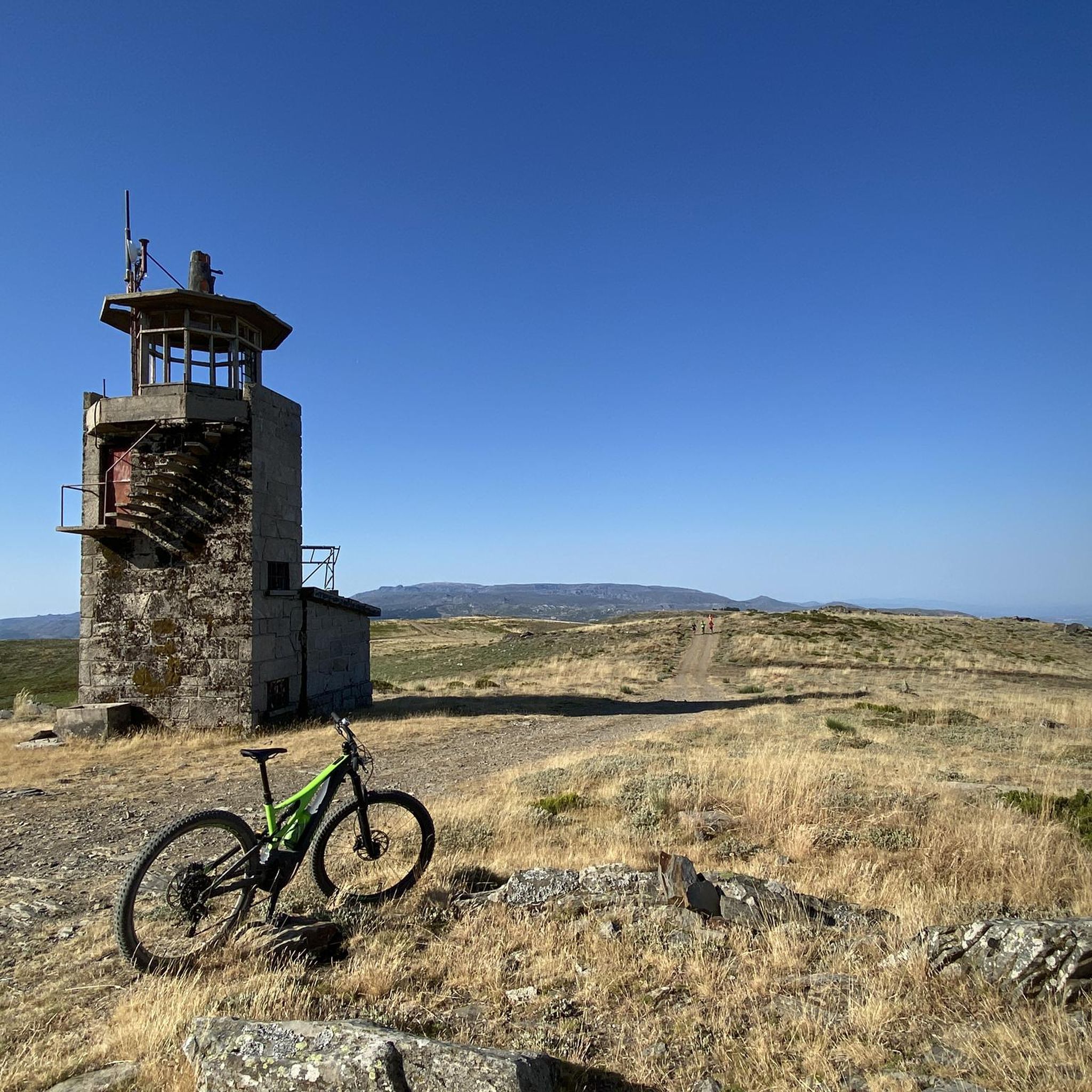
公園の中心にあり、美しい舗装道路からアクセスしやすい場所にトーレがあります。ここはセラ・ダ・エストレラ山脈の最高地点であり、大陸ポルトガルではこれより高い場所はありません。実際、最高地点は1,993メートルにあります。山の頂上にある7メートルの小さな塔が、2,000メートルを完成させています。
7
0

トーレはポルトガル本土で最も高い地点で、標高は1,993メートルです。セラ・ダ・エストレーラ自然公園の中心部に位置し、セイア、マンテイガス、コヴィリャンという自治体の境界線となっています。ちょうど2,000メートルに到達するために、ジョアン6世は19世紀初頭に高原の頂上に石の記念碑を建てるよう命じました。👍🥾
0
0
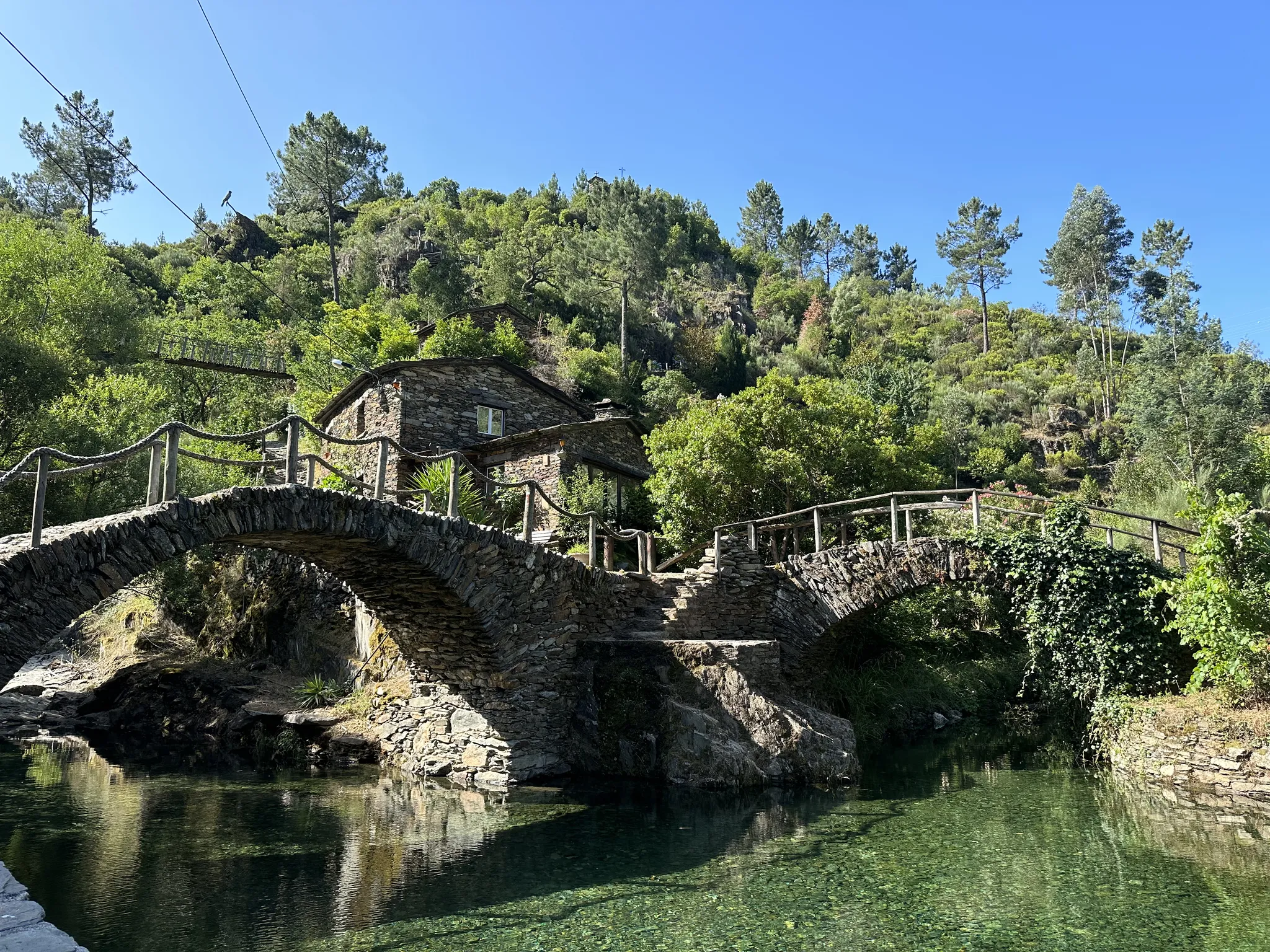
セイラ川にかかるポンテ・レアル(またはポンテ・ヴェーリャ)は、ゴイスの町にあり、この地域の歴史的なシンボルの一つです。中世様式で後に改修されたこの橋は、アソール山脈に源を発するモンデゴ川の左岸支流であるセイラ川を渡る、重要な観光名所です。 場所:ゴイスの町の中心部にあり、徒歩でのアクセスが容易です。 特徴:王政時代の橋の建造に典型的な、石造りのアーチを持つ堂々とした構造。 周辺:このエリアの近くにあるセイラ川は、夏の間非常に人気のある川辺のビーチを提供しており、その水の質と静けさで際立っています。 歴史:この地域のマヌエル様式/中世時代の建造遺産の一部です。
1
0

"Terreiro das Bruxas" is a place in the middle of nature for resting after a hike and for picnics; it has restrooms and drinking water.
0
0
Cântaro Magro is one of the "commonplaces" of the Serra da Estrela mountain range, whose summit rises to 1928 m altitude, deserving a visit at any time of year. Viewed from west to east, its silhouette resembles a pitcher. In summer, its rocky face is interrupted by small terraces of soil, where some of the rarest botanical jewels of the mountain range grow. In winter, it is covered in snow and ice which, as they melt, form ephemeral waterfalls. These recall the overflowing liquid from the pitchers carried on the heads of women when, in the past, they went to the fountains. #CISE #VisitSeia #ParqueNaturaldaSerradaEstrela
0
0


Sabugueiro, the village vying for the title of highest in Portugal, is also one of the most authentic ambassadors of mountain life. Among granite houses and comforting flavors (cheese, sausages, roast kid, and honey), you can find the warmth of blankets and burel coats and the company of the faithful Serra da Estrela mountain dogs. Surrounding waterfalls, streams, and lakes remind you that here, nature is as generous as the table.
3
0
エストレーラ山脈でのの人気観光スポット

komootモバイルアプリでインスピレーションを得よう


さらに探索
他の地域の最高のロードサイクリングルートを見てみましょう。
