ヴァルトブレールのおすすめツーリングルート
4.6
(523)
2,321
ライダー
118
ライド
ヴァルトブレールでおすすめのサイクリングルートをお探しですか?行きたいルートを簡単に決められるように、このページではヴァルトブレール周辺の人気バイクライドをご紹介します。 ぜひ、お気に入りのルートを見つけてください。
最終更新日: 10月 22, 2026
4.7
(87)
258
ライダー
29.6km
01:58
390m
390m
中程度の自転車ライド. ある程度のフィットネスレベルが必要です。 全般的に舗装された状態です。あらゆるスキルレベルに適しています。
4.7
(41)
126
ライダー
24.2km
01:31
250m
240m
中程度の自転車ライド. ある程度のフィットネスレベルが必要です。 全般的に舗装された状態です。あらゆるスキルレベルに適しています。

4.6
(33)
111
ライダー
27.7km
01:50
310m
310m
難しい自転車ライド. ある程度のフィットネスレベルが必要です。 ツアーの一部で自転車を押して歩く必要があるかもしれません。
4.7
(10)
88
ライダー
22.7km
01:22
130m
130m
初級者向けバイクライド. あらゆるフィットネスレベルに適しています。 全般的に舗装された状態です。あらゆるスキルレベルに適しています。
4.3
(17)
85
ライダー
21.4km
01:19
170m
170m
中程度の自転車ライド. ある程度のフィットネスレベルが必要です。 全般的に舗装された状態です。あらゆるスキルレベルに適しています。
さらに多くのルートや他のユーザーのおすすめ情報を確認できます。
すでにアカウントをお持ちですか?
おすすめのツアーは他のkomootユーザーが実際に経験した何千ものアクティビティに基づいています。
無料アカウントで今日から始めよう
次の冒険が待っています。
ヴァルトブレール周辺で人気
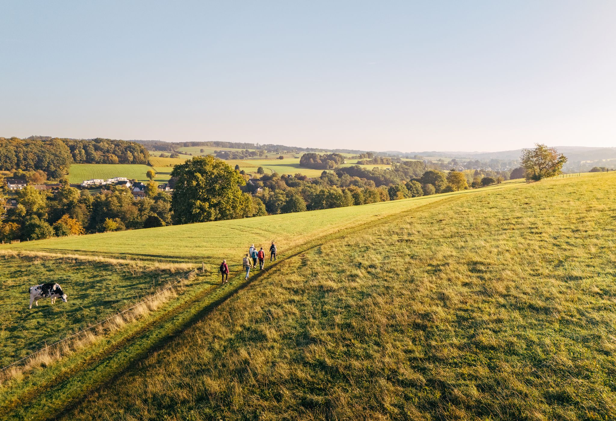
"Wunderschön" through the Bergisches Land – on the trail of the WDR show
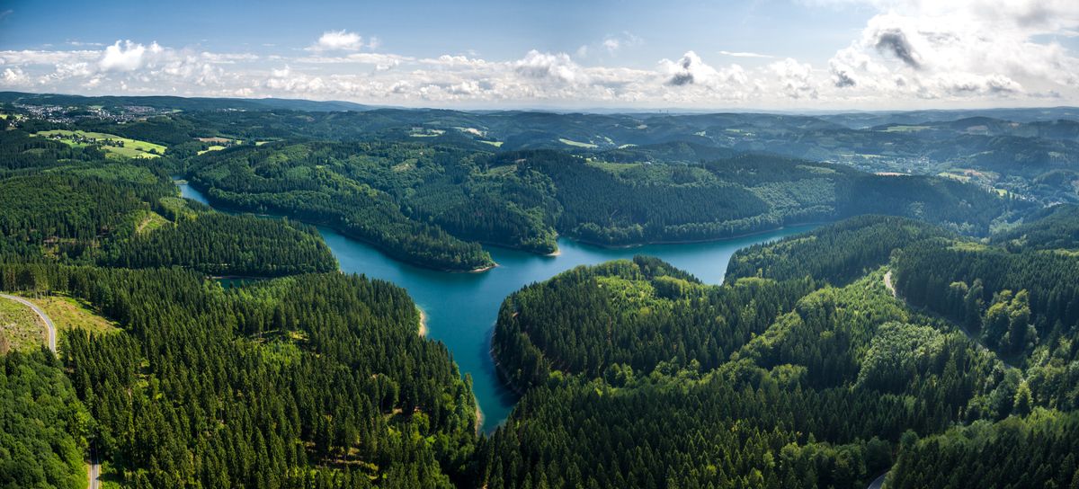
長距離ハイキングと壮大な景色 – Bergischer Panoramasteig
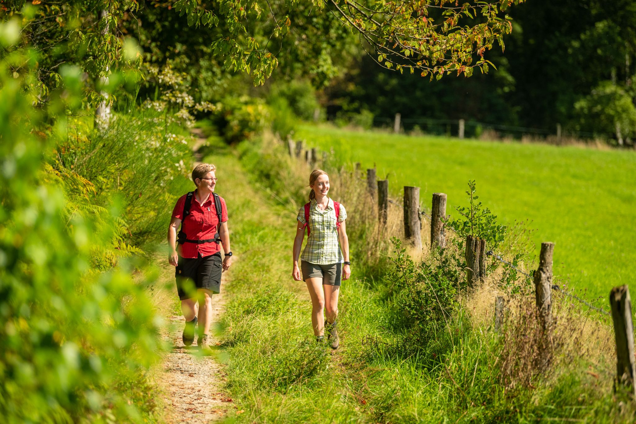
Bergische Rambles – themed and adventure trails in the Bergisches Land region
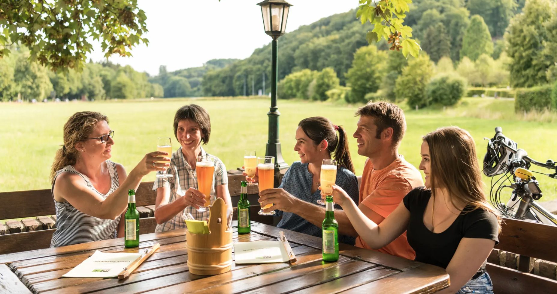
Hike and indulge in regional delights in Bergisches Land
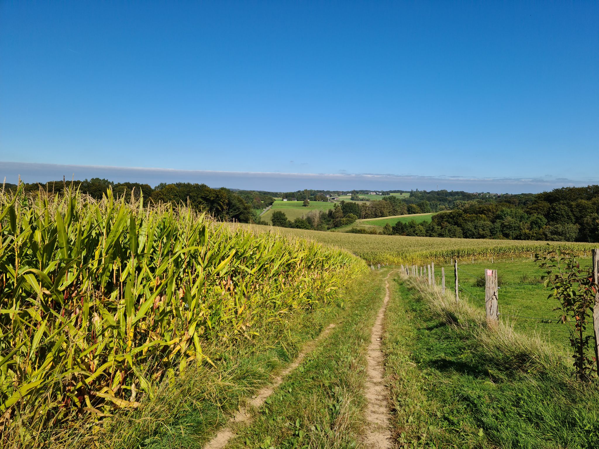
バーギッシュ・ランドでの漫步とハイキング
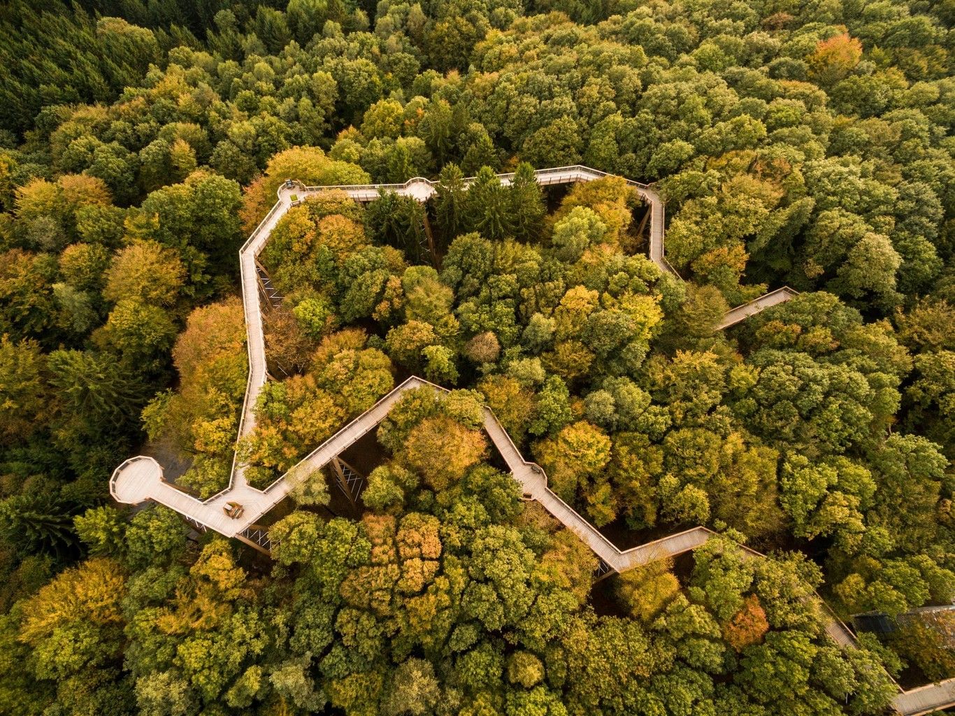
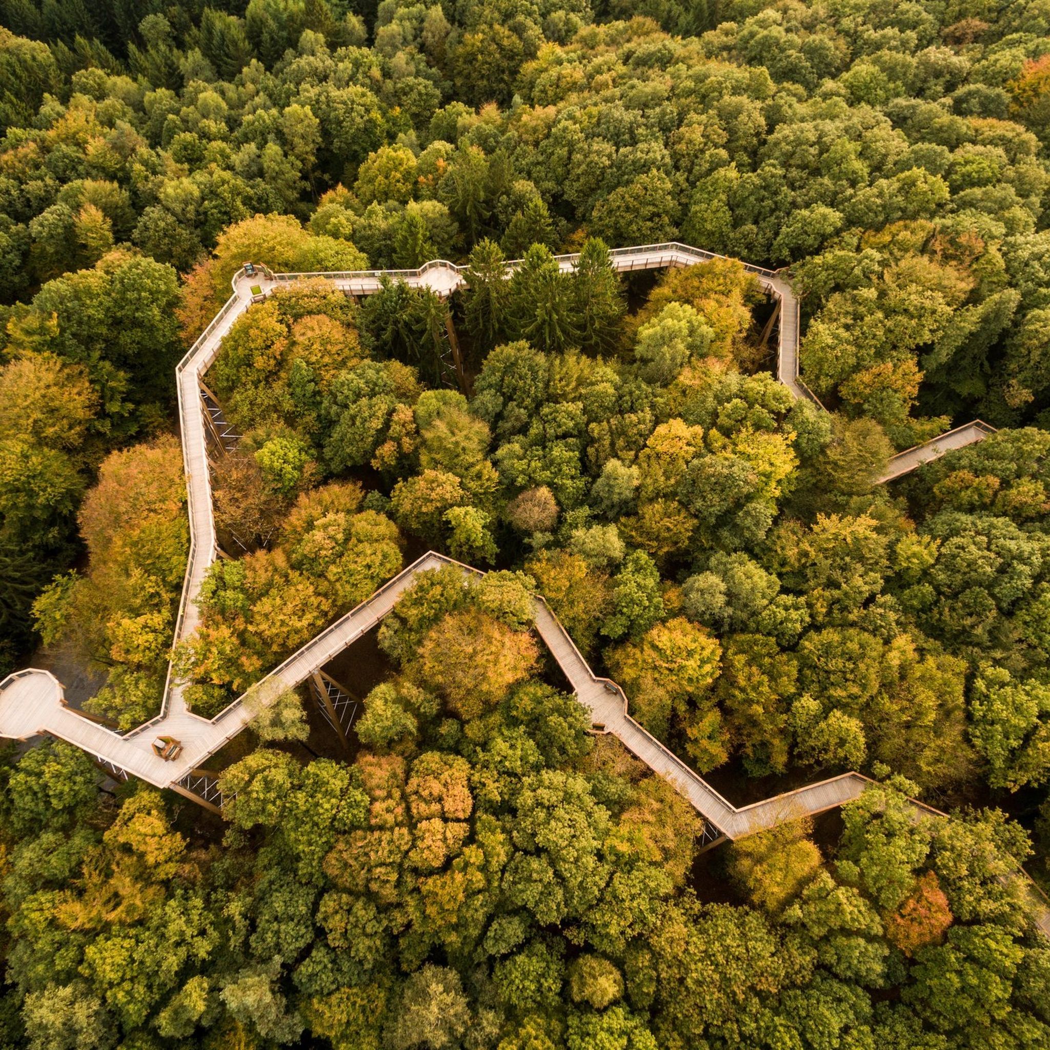
The top tree top walks in Germany
ヴァルトブレールでのハイキング
ヴァルトブレールのMTBトレイル
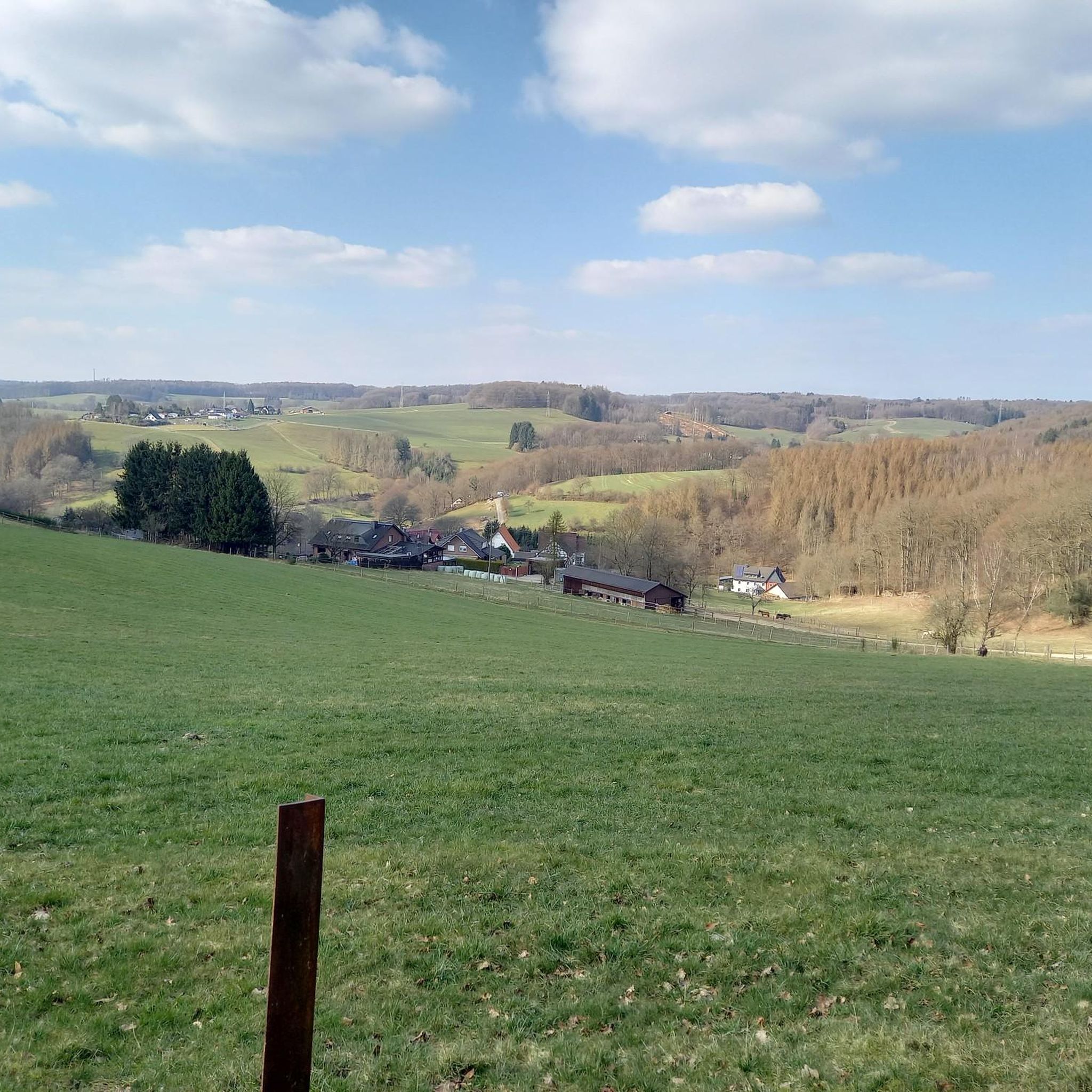
ヴァルトブレールのロードバイクルート
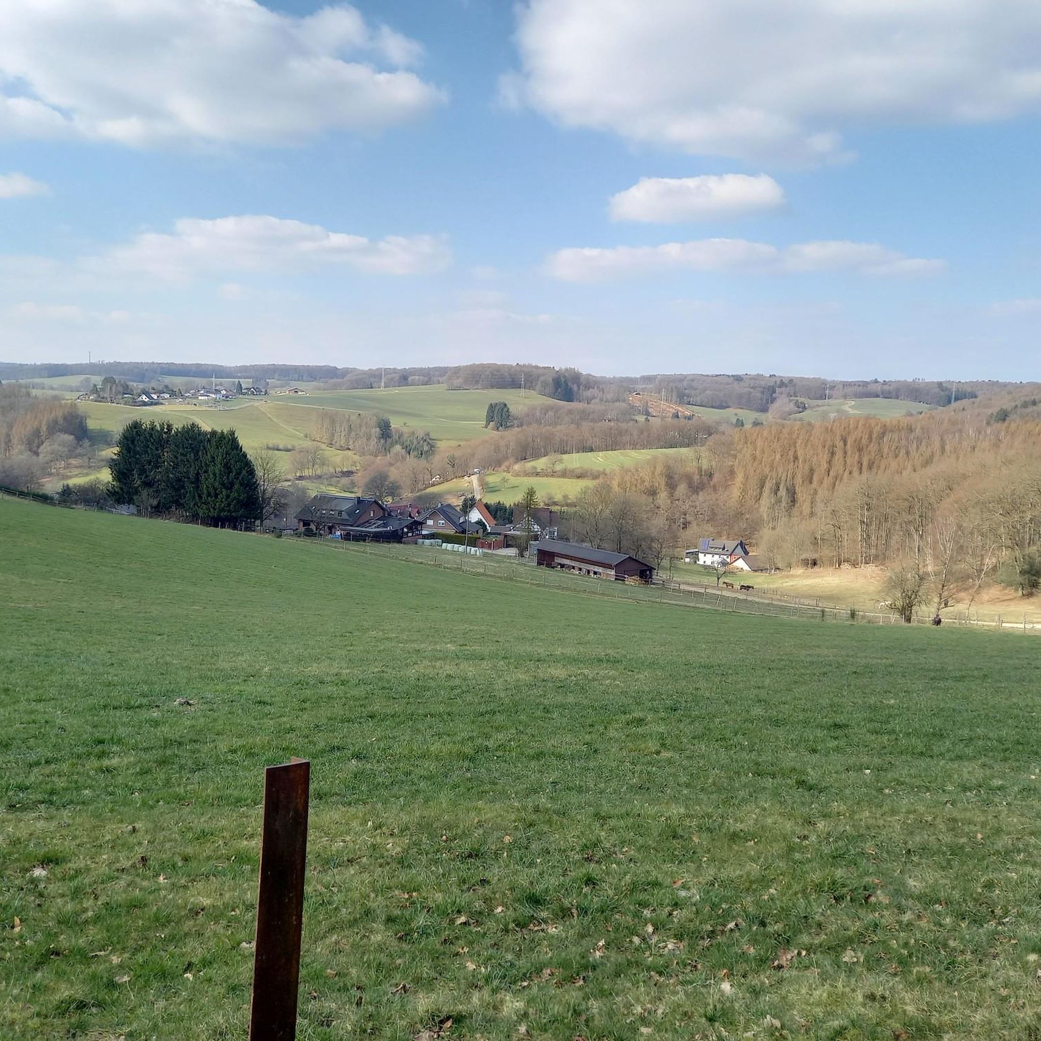
ヴァルトブレールのランニングコース
ヴァルトブレールでのの他の冒険


コミュニティからのヒント

Absolutely recommended. Ambiance, very courteous service, high-quality food. Not a single downside
0
0


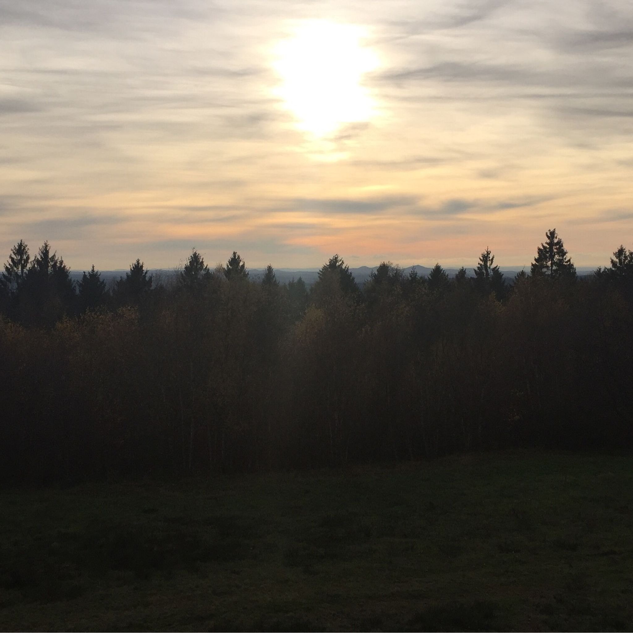
Strolling through the treetops, enjoying breathtaking views of the Bergisches Land region, and learning fascinating facts about nature and the people of the area – the Panarbora Nature Adventure Park, with its observation tower and treetop walkway, is a highlight for nature lovers. With its many small and large natural attractions, play and sports facilities, guided tours, and programs, the park is a unique place for families, groups, and overnight guests to experience nature up close and learn about the environment and its countless interrelationships and symbioses in a playful and fun way.
1
0
Nature reserve and historic execution site. A mighty oak tree now marks the former gallows site, lending the place a special atmosphere. The coppice reserve "Galgenberg" provides a suitable habitat for rare bird and insect species. The approximately one-square-kilometer area is characterized by the birch-oak stands typical of coppice management, which are cut back to the stump about every 20 years. This historic form of cooperative forest use is still practiced today and formerly served to obtain tannins and firewood. Near the former execution site, three oak trees, several hundred years old, dominate the landscape. They may mark a historic rest stop on the "Roman Road," an important medieval trade route that runs through the reserve.
0
0

When wet, the wood storage area is very muddy and partially rutted.
0
0

komootモバイルアプリでインスピレーションを得よう


さらに探索
他の地域の最高のサイクリングルートを見てみましょう。
