アベトーネのおすすめ登山&山歩きルート
4.3
(12)
54
ハイカー
11
ハイキング
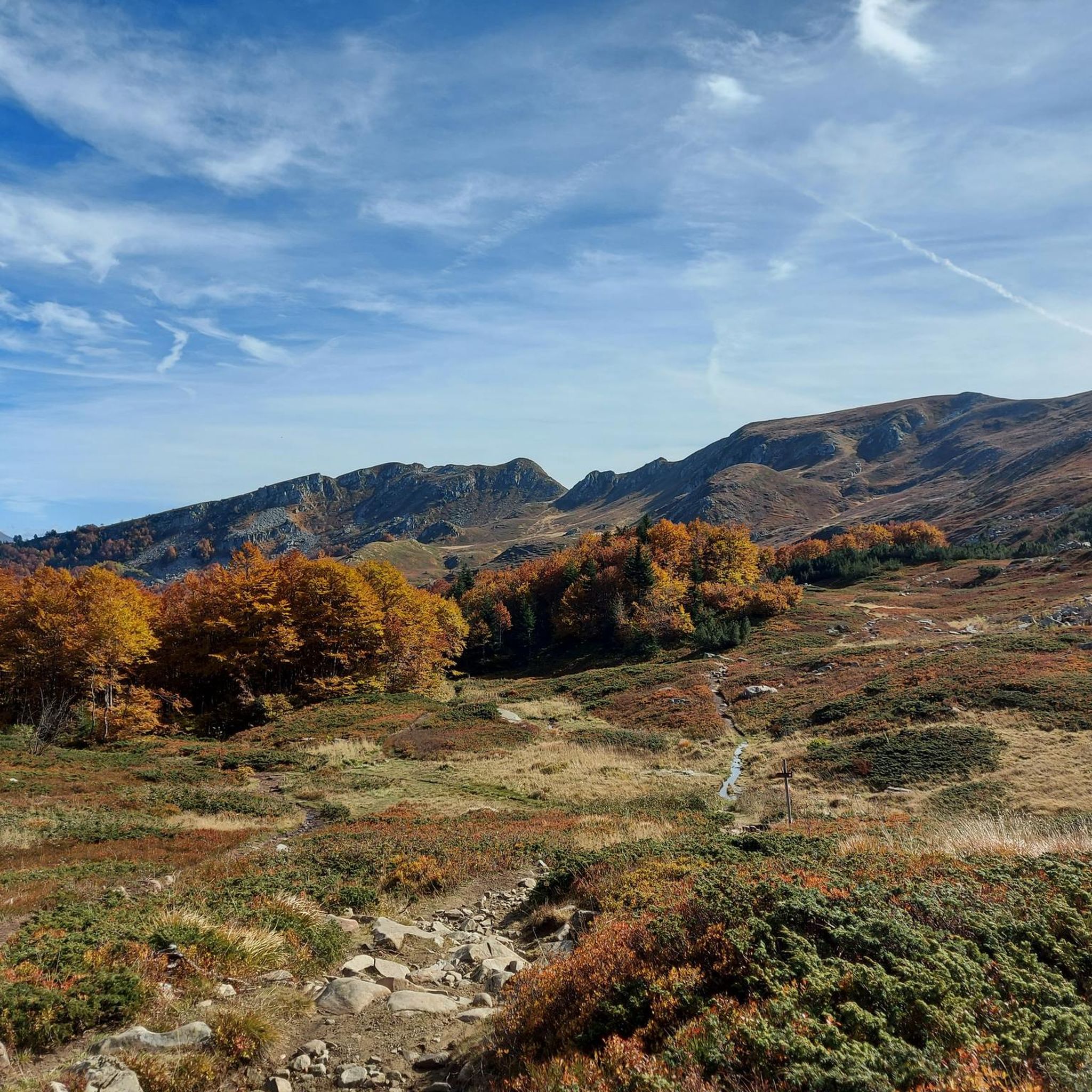
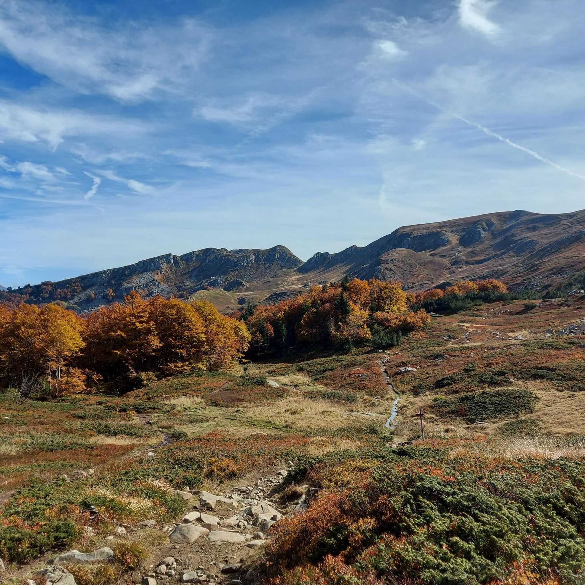
登山は、アベトーネ周辺のトスカーナ・エミリア・アペニン山脈の多様な地形が特徴で、顕著な峰々と高地の景観を呈しています。この地域には、アルペ・トレ・ポテンツェ(1,940 m)やモンテ・ゴミート(1,892 m)などの著名な山頂があり、「リブロ・アペルト」の地形も特徴的です。ネロ湖のような手つかずの高山湖は人気の目的地であり、しばしば鬱蒼としたブナやモミの森を横切るルートを通って到達します。この変化に富んだ地形は、経験豊富な登山者にとって挑戦的な登りや尾根歩きを提供します。
アベトーネ周辺の最高の登山ルート
- 最も人気のある登山ルートは、ラゴ・サント・モデネーゼからのアルタレット~モンテ・ジョーヴォ周回コースで、所要時間4時間2分、距離9.2 kmのトレイルです。この難易度の高いコースは、高地の景観と山岳峠を通過します。
- 地元の登山者の間で人気のもう一つのコースは、アベトーネからのラゴ・デッラ・リサイア~モンテ・ロトンド周回コースで、距離10.9 kmの中級コースです。このルートは森を抜け、高山湖のそばを通ります。
- 地元の登山者に愛されているのは、コルノ・アレ・スカーレからのプンタ・ソフィア周回コースで、距離4.7 kmのトレイルはアペニン山脈の尾根を通り、所要時間は約2時間42分です。
- アベトーネ周辺の登山は、アペニン山脈の峰々、高地の湖、そして鬱蒼としたブナやモミの森によって特徴づけられます。このネットワークは、中級の登りからより要求の厳しいアルパインハイキングまで、さまざまなスキルレベルに対応するオプションを提供します。
- アベトーネのルートは、komootコミュニティから高く評価されており、10件以上のレビューから平均4.5つ星を獲得しています。50人以上の登山者がkomootを利用して、アベトーネの多様な地形を探索しています。
最終更新日: 8月 28, 2026
4.3
(3)
15
ハイカー
9.39km
04:05
570m
570m
難しい登山ルート. ある程度のフィットネスレベルが必要です。 安定して歩行できる技術、丈夫な靴、高標高地での登山経験が必要です。
4.7
(3)
10
ハイカー
10.7km
04:14
530m
530m
中程度の登山ルート. ある程度のフィットネスレベルが必要です。 全般的に進みやすいルートです。安定して歩行できる技術が必要です。

無料新規登録
4.0
(1)
9
ハイカー
4.78km
02:43
470m
470m
難しい登山ルート. ある程度のフィットネスレベルが必要です。 安定して歩行できる技術、丈夫な靴、高標高地での登山経験が必要です。
5.0
(2)
5
ハイカー
13.3km
05:33
740m
740m
難しい登山ルート. 標準以上のフィットネスレベルが必要です。 安定して歩行できる技術、丈夫な靴、高標高地での登山経験が必要です。
5.0
(1)
3
ハイカー
11.7km
04:39
760m
760m
中程度の登山ルート. ある程度のフィットネスレベルが必要です。 全般的に進みやすいルートです。安定して歩行できる技術が必要です。
さらに多くのルートや他のユーザーのおすすめ情報を確認できます。
無料新規登録
すでにアカウントをお持ちですか?
おすすめのツアーは他のkomootユーザーが実際に経験した何千ものアクティビティに基づいています。
無料アカウントで今日から始めよう
次の冒険が待っています。
ログインまたは登録


コミュニティからのヒント


In summer, Balzi dell'Ora is a challenging CAI trail due to its exposure and some technical sections. In winter, with snow and ice, it's a winter mountaineering route that, depending on snow conditions, could be quite respectable. I climbed it alone with two ice axes and crampons. If you're climbing as a team in the conditions I encountered, I think sure-footedness and experience are essential, as there are many traverses and ridge sections with sparse protection, and you'll obviously need adequate winter mountaineering gear. In any case, it's a beautiful climb with magnificent views and a very rewarding experience.
0
0
In winter, the second gully (starting from the left) has the steepest exit, 60/70 degrees, depending on the snow. I recommend tackling it with two ice axes. If you're climbing in a roped-up rock, about 60 meters from the gully exit, there's a bolt on the right that's useful for a belay. Another bolt is located at the gully exit, but it's often covered by the ship. It's obviously a good idea to check the snow conditions and equip yourself with the appropriate winter mountaineering gear.
0
0

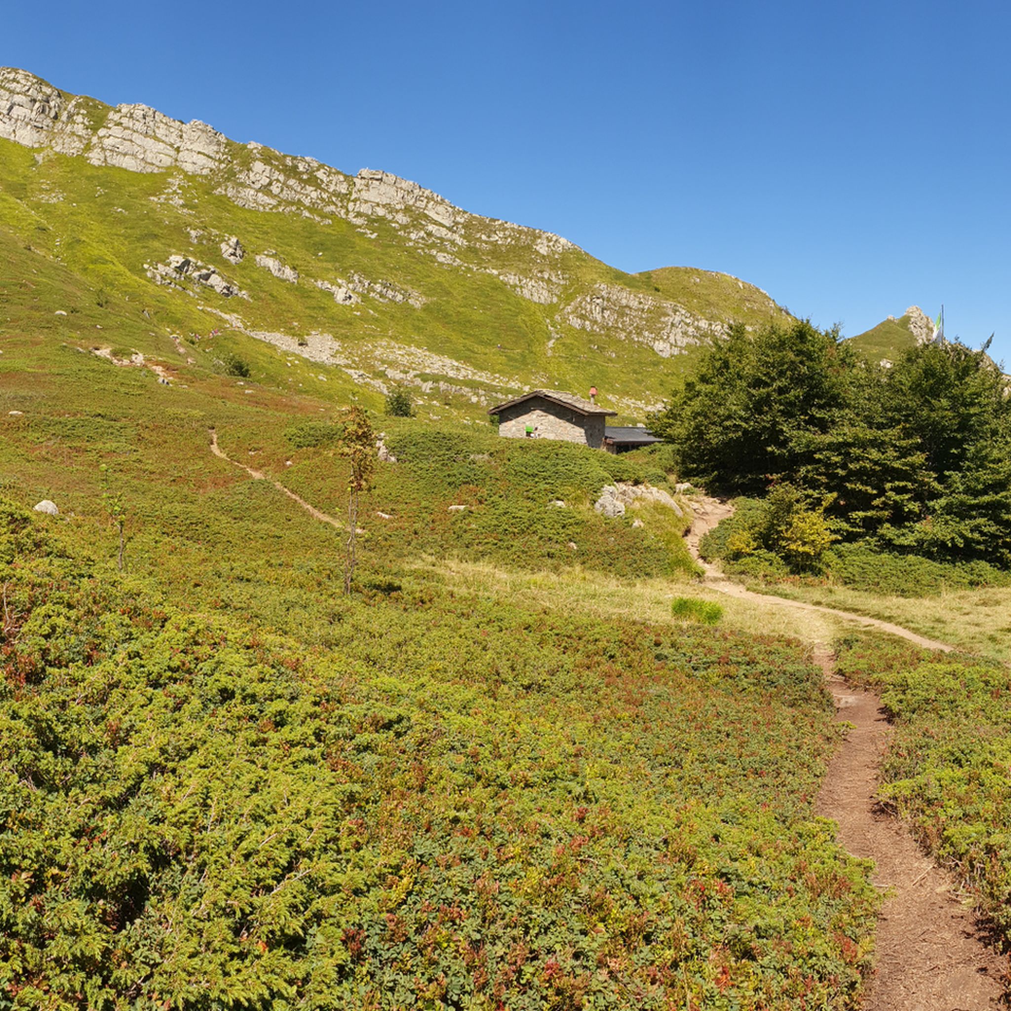
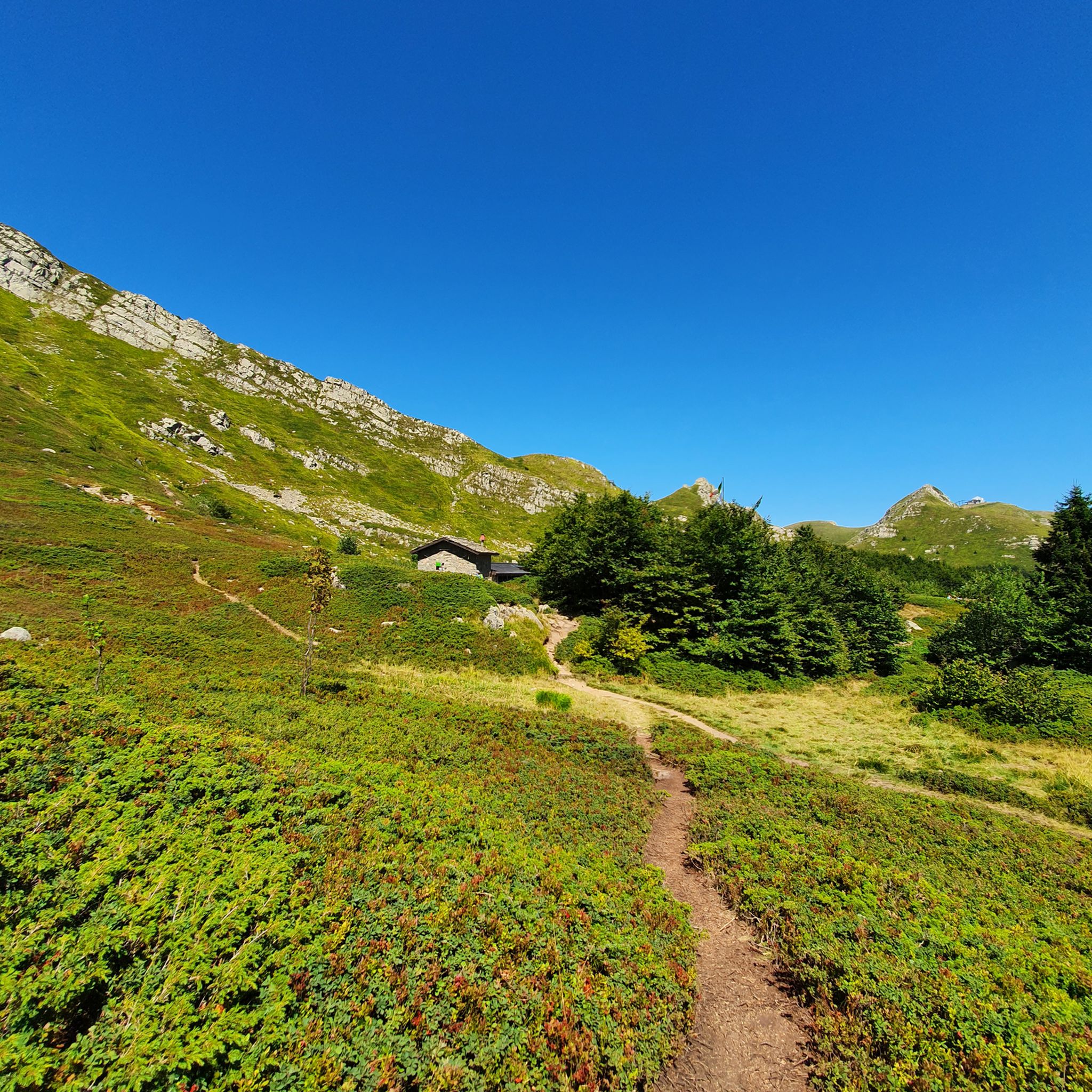
A refuge with renovated private rooms and excellent cuisine. It's an excellent starting point for various hikes in the area, and the management is very friendly. From the (paid) parking lot, it's about a 10-minute walk uphill to the refuge. The manager, Massimo, is a wonderful person; it's always a pleasure to return!
1
0

The summit of Mount Cupolino behind Lake Scaffaiolo
0
0

Monte Giovo, 1991 metres, is the highest peak in this part of the Apennines.
0
0
Mount Cimone! the panettone! with its 2165 meters it is the highest peak of the northern Apennines. Iconic point of arrival and special panoramic point as it is unique in Italy for this characteristic (from its summit it is possible to observe, on the clearest days, the largest land surface of the Italian territory, from the Gran Sasso Apennines to the Alpine mountain range)
0
0


komootモバイルアプリでインスピレーションを得よう


さらに探索
他の地域の最高の登山ハイキング & ルートを見てみましょう。
