サンゴデンツォのおすすめツーリングルート
4.2
(76)
1,261
ライダー
77
ライド
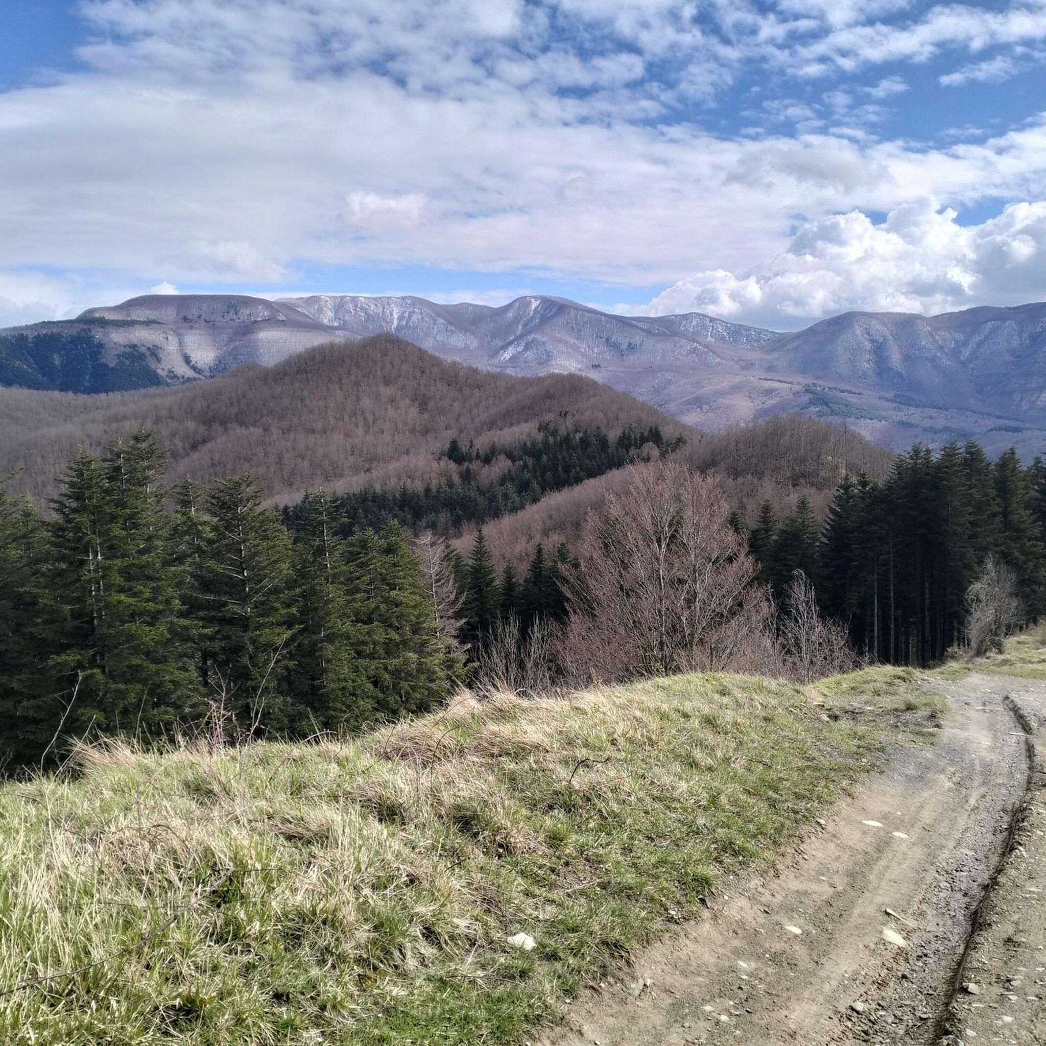
サン・ゴデンツォ周辺のサイクリングツアーは、ムジェッロとカゼンティーノの谷の間に位置するトスカーナ・アペニン山脈を巡るルートを提供します。この地域は、標高が900メートルを超えることが多い山岳地帯で、鬱蒼とした森と風光明媚な川沿いの谷が特徴です。これらの景観は、カゼンティーノの森、モンテ・ファルテローナ、カンピニャ国立公園の一部を形成しており、サイクリングに多様な環境を提供しています。サイクリストは、川沿いの道から険しい山道まで、様々な地形での大きな標高差を予想できます。
サン・ゴデンツォ周辺の最高のサイクリングツアー
- 最も人気のあるサイクリングツアーは、ディコマノ発の ポンテ・ディ・アンニバレ(ヴィッキオ)– シエーヴェ自転車道ループで、33.9マイル(54.5 km)のトレイルで、所要時間は3時間57分です。シエーヴェ自転車道に沿っています。
- 地元のサイクリストに人気のもう一つのルートは、サン・ベネデット・イン・アルペ発の サン・ベネデット・イン・アルペ – マンツォ峠ループで、20.4マイル(32.8 km)の難易度の高いコースで、山岳地帯を通ってマンツォ峠へと登っていきます。
- 地元のサイクリストはまた、カゼンティーノの森、モンテ・ファルテローナ、カンピニャ国立公園発の カッラ峠 – モンテ・ジョガレッロループも気に入っています。この20.5マイル(33.1 km)のトレイルは、山道や鬱蒼とした森を通り抜け、所要時間は約3時間9分です。
- サン・ゴデンツォ周辺のサイクリングツアーは、山岳地帯、鬱蒼とした森、風光明媚な川沿いの谷が特徴です。このネットワークは、挑戦的なルートに重点を置き、様々なスキルレベルに対応するオプションを提供しています。
- サン・ゴデンツォのルートは、50件以上のレビューから平均4.5つ星の評価を得ており、komootコミュニティから高く評価されています。1200人以上のサイクリストがkomootを利用して、サン・ゴデンツォの多様な地形を探索しました。
最終更新日: 10月 3, 2026
5.0
(3)
31
ライダー
32.8km
03:00
910m
910m
難しい自転車ライド. 標準以上のフィットネスレベルが必要です。 全般的に舗装された状態です。あらゆるスキルレベルに適しています。
16
ライダー
136km
09:23
2,150m
2,150m
難しい自転車ライド. 標準以上のフィットネスレベルが必要です。 全般的に舗装された状態です。あらゆるスキルレベルに適しています。

7
ライダー
67.5km
06:01
1,890m
1,890m
難しい自転車ライド. 標準以上のフィットネスレベルが必要です。 全般的に舗装された状態です。あらゆるスキルレベルに適しています。
5.0
(1)
13
ライダー
38.8km
03:46
1,130m
1,120m
難しい自転車ライド. 標準以上のフィットネスレベルが必要です。 全般的に舗装された状態です。あらゆるスキルレベルに適しています。
5.0
(1)
9
ライダー
52.7km
04:39
1,600m
1,610m
難しい自転車ライド. 標準以上のフィットネスレベルが必要です。 全般的に舗装された状態です。あらゆるスキルレベルに適しています。
さらに多くのルートや他のユーザーのおすすめ情報を確認できます。
すでにアカウントをお持ちですか?
おすすめのツアーは他のkomootユーザーが実際に経験した何千ものアクティビティに基づいています。
無料アカウントで今日から始めよう
次の冒険が待っています。


コミュニティからのヒント

immediately after the Valico dei 3 Faggi sign you will find the sign for the entrance to the Casentinesi forests, a road all downhill immersed in the wonderful panorama and scent of the woods
0
0

The bridge allows you to avoid the state road
1
0

Wonderful dirt track that winds along the CAI 401 trail at altitude. It connects the Pista del Cucco (a challenging dirt climb starting from San Benedetto in Alpe) to Valico Manzo (or Passo Valbura). The difficulty is negligible, as the route is mostly flat with occasional short ups and downs. It can be easily traveled even with a gravel bike. Be careful of the many fallen trees and branches that are often found along the route. They are basically an inconvenience that can be overcome with short portage sections. ========= A wonderful dirt track that winds along the CAI 401 trail at altitude. It connects the Pista del Cucco (a challenging dirt climb starting from San Benedetto in Alpe) to Valico Manzo (or Passo Valbura). The difficulty is negligible, as the route is mostly flat with occasional short ups and downs. It can be easily traveled even with a gravel bike. Caution is advised due to numerous fallen trees and branches often found along the path. These mainly represent a manageable inconvenience, requiring short sections of portage.
2
0
Forest dirt road that continues from Via Monte Gemelli to San Benedetto in Alpe and provides access to the CAI 401 trail, on the ridge. It is a climb on fairly compact dirt terrain but challenging. The average gradient is 10% and from San Benedetto in Alpe to the CAI 401 trail there is approximately 550 meters of positive elevation gain. ========= A forest dirt road that continues from Via Monte Gemelli to San Benedetto in Alpe and provides access to the CAI 401 trail along the ridge. It is a climb on fairly compact dirt terrain but challenging. The average gradient is 10%, and from San Benedetto in Alpe to the CAI 401 trail, there is approximately 550 meters of positive elevation gain.
2
0
Magnificent pass on the ridge that divides the Montone and Rabbi valleys. Crossed by CAI path 401, corresponding at this point to the Cammino di Sant'Antonio.
0
0

Above all, don't miss the fantastic graffiti on each pylon! Unfortunately, they are starting to fade a bit.
1
0

Route from Osteria Nuova (path 405) passing through: - Acquacheta waterfall (8.1 km) - Spring or fountain (9.9 km) - San Benedetto in Alpe note: leaving San Benedetto you follow an unmarked off-trail track, after a first short but intense climb, you cross an uncultivated field, after which we lost the track and had to improvise in the middle of the woods until we reached a stream that we forded barefoot. At this point we reached the road a few hundred meters from our car.
1
0

beautiful bridge, but the cycle path is only accessible with gravel bikes
0
0

komootモバイルアプリでインスピレーションを得よう


さらに探索
他の地域の最高のサイクリングルートを見てみましょう。
