ヴァルフォルトーレのカステルヴェーテレのおすすめツーリングルート
3.0
(1)
17
ライダー
24
ライド
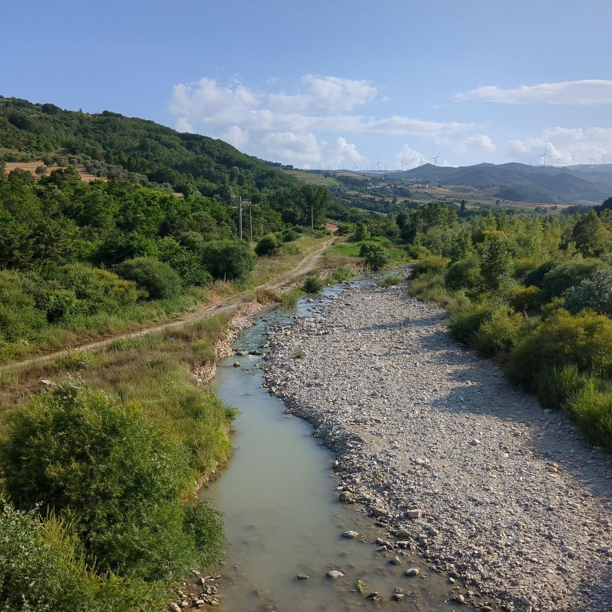
カステルヴェーテレ・イン・ヴァル・フォルトーレ周辺のツーリングサイクリングは、イタリアのカンパニア州にあり、海抜706メートルの高台に位置する多様な景観を提供します。地形には、風光明媚なフォルトーレ川の谷、オッキート湖の岸辺、そして劇的なカランキ「ラマランネ」のバッドランドが含まれます。サイクリストは、舗装路から砂利道、古代のトラットゥーリまで、起伏のある山岳ルートを巡ることができます。この地域は、自然の美しさと歴史的な特徴が融合し、多様なサイクリング体験を提供します。
カステルヴェーテレ・イン・ヴァル・フォルトーレ周辺の最高のツーリングサイクリングルート
- 最も人気のあるツーリングサイクリングルートはリッチャとセンティエロ・イタリア・ループで、距離17.8マイル(28.6 km)、所要時間2時間11分です。この難易度の高いルートは、地域の景観を通してかなりの高低差があります。
- 地元のツーリングサイクリストに人気のもう一つのルートはサン・バルトロメオ・イン・ガルドとアルト・サンニオの羊の道で、距離16.7マイル(26.9 km)の難易度の高いコースです。このルートは古代の羊の道を巡り、アルト・サンニオ地方の景色を楽しめます。
- 地元のツーリングサイクリストに人気のポンテ・デイ・13・アルキ発、オッキート湖~フォルトーレ川沿いのグラベルロードループは、距離35.7マイル(57.5 km)で、フォルトーレ川の谷を通り、オッキート湖沿いを巡るルートで、所要時間は約5時間10分です。
- カステルヴェーテレ・イン・ヴァル・フォルトーレ周辺のツーリングサイクリングは、フォルトーレ川の谷、オッキート湖、そして古代のトラットゥーリによって特徴づけられます。このネットワークは、中程度から難易度の高いルートまで、様々なレベルのサイクリストに対応しています。
- カステルヴェーテレ・イン・ヴァル・フォルトーレのルートは、komootコミュニティから高く評価されており、2件以上のレビューで平均4.0つ星を獲得しています。30名以上のツーリングサイクリストがkomootを利用して、カステルヴェーテレ・イン・ヴァル・フォルトーレの多様な地形を探検しています。
最終更新日: 8月 28, 2026
1
ライダー
28.6km
02:11
510m
510m
Cycle the difficult 17.8-mile Riccia and Sentiero Italia Loop, gaining 1681 feet through Molise's forests and agricultural landscapes.
30.2km
02:34
700m
700m
難しい自転車ライド. 標準以上のフィットネスレベルが必要です。 ツアーの一部で自転車を押して歩く必要があるかもしれません。

無料新規登録
8
ライダー
23.2km
01:50
380m
380m
中程度の自転車ライド. ある程度のフィットネスレベルが必要です。 全般的に舗装された状態です。あらゆるスキルレベルに適しています。
2
ライダー
48.7km
03:19
810m
810m
難しい自転車ライド. 標準以上のフィットネスレベルが必要です。 全般的に舗装された状態です。あらゆるスキルレベルに適しています。
2
ライダー
48.4km
03:36
1,070m
1,070m
難しい自転車ライド. 標準以上のフィットネスレベルが必要です。 全般的に舗装された状態です。あらゆるスキルレベルに適しています。
さらに多くのルートや他のユーザーのおすすめ情報を確認できます。
無料新規登録
すでにアカウントをお持ちですか?
おすすめのツアーは他のkomootユーザーが実際に経験した何千ものアクティビティに基づいています。
無料アカウントで今日から始めよう
次の冒険が待っています。
ログインまたは登録
ヴァルフォルトーレのカステルヴェーテレ周辺で人気
コミュニティからのヒント

The Sanctuary of the Madonna Incoronata, built in 1761, stands in a rural area linked to the historic wheat festival, one of the most characteristic rituals of the Fortore area. Every April, farmers and young people of the village dig furrows in the fields and carry the "verghe" (long poles decorated with wheat and flowers) in procession. In ancient times, this was followed by the release of a dove as a propitiatory gesture for the harvest. This tradition combines ancient agricultural symbols with Marian devotion, making the sanctuary a deeply rooted place for San Bartolomeo in Galdo.
1
0
The Lucera-Castel di Sangro Tratturo is one of the great transhumance sheep tracks, an ancient grassy trail over one hundred kilometers long that connected the Tavoliere di Puglia to the high-altitude pastures of Abruzzo. In this stretch, the sheep track marks the border between Campania and Puglia and still retains its original breadth, with open fields, low walls, and intact rural landscapes. It is one of the most important historical shepherds' routes, a cultural corridor that recounts centuries of seasonal migrations and agro-pastoral life.
0
0

San Bartolomeo in Galdo is an Italian town in the province of Benevento, located in Campania, near the border with Puglia and Molise. It has ancient origins, dating back to the Roman and medieval periods, and has numerous historic buildings and churches, including the Church of San Bartolomeo Apostolo. The town is located in the hilly area of Val Fortore, surrounded by an agricultural landscape. Among the local traditions, there are religious celebrations and cultural events that involve the community.
0
0

We are at 490 m. A cold beer before continuing the climb to the Crocella di Motta Pass 1135 m.
0
0
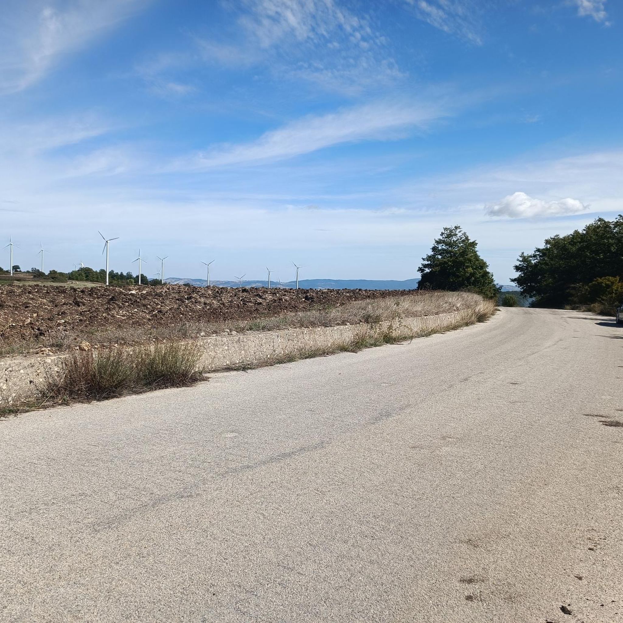
Here State Road 17 crosses the Tratturo Lucera - Castel di Sangro trail
0
0
Article from Sanbartolomeo.info Chapel built in 1761 by the priest Don Nicola Reino. The celebrations in honor of the Crowned Madonna are particularly interesting for their union between the sacred and the profane. This festival is celebrated on the last Sunday of April in the rural village of the same name. Here, the statue of the Virgin is carried in procession, watched over with songs and prayers. In the days leading up to the festival, the farmers dig furrows in the land that reach from the horizon to the small church, putting all their effort into making them as straight as possible, both for competition between the various groups and out of devotion and thanksgiving for the harvest. During the ritual, the farmers raised tall poles made of wheat, grass, and flowers. At the top was placed a representation of the sanctuary—a box containing a dove that will be released at the end of the ceremony. This ritual is kept alive today thanks to the many groups of young people who, throughout the year, prepare the poles covered in colorful crepe paper flowers, which they carry on their shoulders following the procession and then raise in front of the church in honor of the Madonna. The festival is characterized by vigils, prayers, and quick breakfasts consumed on the grass surrounding the church or at the various kiosks set up for the occasion. The historical sources of the wheat festival are helpful in trying to trace all the stages of a phenomenon that over the years has acquired new meanings and adapted to new religious dictates. The origins of the ritual of offering grain to the deities are lost in the mists of time and date back to cults associated with agricultural life in pagan times and the sense of fear and insecurity associated with the precarious return of the lost seed. Indeed, the success of the harvest depends on superior forces beyond human control, such as adverse weather, so it is these forces that must be thanked for the abundant harvest and encouraged to be generous the following year with donations and devotion. The first historical records of the grain festival in Campania date back to the times of the Roman Empire. During the month of August, agricultural work was halted and Ceres, goddess of the harvest, was thanked with offerings and dances in the threshing floors, and propitiatory rites were performed for the coming harvest. Later, with the advent of Christianity, cartloads of grain were carried as offerings to a saint as a sign of devotion and gratitude for the harvest. This ritual perhaps conceals the questionable custom of the clergy, who during the feudal era forced farmers to donate part of their harvest. It was during this period that the first attempts to weave straw into decorations emerged. Even today, thanksgiving for the harvest is dedicated to the saints and Madonnas to whom the inhabitants of various Campanian towns still attached to agricultural traditions are devoted: the Madonna del Carmine in San Marco dei Cavoti, the Madonna Incoronata in San Bartolomeo in Galdo, the Assunta in Fontanarosa, and the Addolorata in Mirabella Eclano, towns where the female deities of the fields have been revived in the Christian figure of the Madonna.
0
0


A beautiful green area of about 450 hectares, a forest full of ash trees and wild animals. There are also benches and tables where you can relax. The natural area is located about 45 minutes by car from Campobasso
1
0
よくある質問
カステルヴェテェレ・イン・ヴァル・フォルトーレには、どのくらいのサイクリングルートがありますか?
カステルヴェテェレ・イン・ヴァル・フォルトーレ周辺には、25以上のサイクリングルートがあります。この地域は多様なルートネットワークを提供しており、6つのルートが中程度、19が困難と評価されており、挑戦を求めるサイクリストに適しています。
この地域のサイクリングルートでは、どのような地形が予想されますか?
カステルヴェテェレ・イン・ヴァル・フォルトーレ周辺の地形は、なだらかな丘、山々、そして鬱蒼とした森林地帯が特徴です。かなりの標高差があり、舗装路から砂利道、そして古代のtratturi(羊の道)まで、さまざまなルートがあります。例えば、オッキート湖沿いのグラベルロードは、プーリア側の湖畔に沿って、挑戦的なグラベル体験を提供します。
カステルヴェテェレ・イン・ヴァル・フォルトーレには、サイクリングに適した周回ルートはありますか?
はい、この地域には多くの周回ルートがあります。注目すべきオプションとしては、リッチャとセンティエロ・イタリアのループがあり、これは17.8マイル(28.6 km)の困難なルートで、約2時間11分で完了でき、変化に富んだ景観を楽しめます。
サイクリングルート沿いには、どのような自然の特徴やランドマークがありますか?
サイクリストは、ヨーロッパ最大級の人工湖であるオッキート湖の岸辺をサイクリングしたり、自然の景観とピクニックエリアで知られる静かなデコラタ湖を訪れたりすることができます。また、この地域には、ドラマチックなカランキ「ラマランネ」の悪地帯や、ボスコ・コムナーレ(市立森林)もあります。
サイクリングでアクセスできる歴史的または文化的な見どころはありますか?
もちろんです。歴史的建造物や教会がある古代の集落、サン・バルトロメオ・イン・ガルドのような文化的な立ち寄りスポットをライドに組み込むことができます。カステルヴェテェレ・イン・ヴァル・フォルトーレ市内には、キエーザ・ディ・サン・ニコーラ・ヴェスコヴォ教会や歴史的なパラッツォ・マルケサーレなどがあります。
カステルヴェテェレ・イン・ヴァル・フォルトーレのサイクリングルートの難易度はどのくらいですか?
カステルヴェテェレ・イン・ヴァル・フォルトーレのサイクリングルートのほとんどは困難と評価されており、25ルート中19ルートがこのカテゴリーに該当します。これらのルートはしばしばかなりの標高差と挑戦的な地形を特徴としており、経験豊富なサイクリストに最適です。より楽なライドを求める人のために、フォイアーノ・ディ・ヴァル・フォルトーレからのセッテ・ルチ橋ループのような中程度のルートも6つあります。
カステルヴェテェレ・イン・ヴァル・フォルトーレのルートについて、他のサイクリストはどのように評価していますか?
カステルヴェテェレ・イン・ヴァル・フォルトーレのサイクリングルートは、komootコミュニティから平均4.0つ星と高く評価されています。サイクリストは、自然の美しさ、挑戦的な地形、そして歴史的な場所や静かな自然の湖を探索できる機会の組み合わせをしばしば賞賛しています。
古代の道や歴史的なトレイルに沿ったルートはありますか?
はい、この地域は古代のtratturi、つまり羊の道で知られています。サン・バルトロメオ・イン・ガルドとアルト・サンニオの羊の道ルートは、これらの歴史的な道を特別に探索する16.7マイル(26.9 km)の困難なルートで、アルト・サンニオ地域のユニークな景色を提供します。
オッキート湖とフォルトーレ川渓谷の広大な景色を楽しめるルートはどれですか?
オッキート湖とフォルトーレ川渓谷の広大な景色を楽しむには、ポンテ・デイ・13・アルキからのオッキート湖~フォルトーレ川グラベルロードループを検討してください。この35.7マイル(57.5 km)の困難なルートは、通常約5時間10分で完了でき、これらの著名な自然の特徴を包括的に体験できます。
家族連れや初心者向けのサイクリングルートはありますか?
カステルヴェテェレ・イン・ヴァル・フォルトーレのルートの大部分は、かなりの標高差があるため困難と評価されています。中程度のルートは6つありますが、本当に簡単な初心者向けのオプションは限られています。サイクリストは、この地域の提供するものを十分に楽しむために、良好な体力と多様な地形の経験が必要です。
カステルヴェテェレ・イン・ヴァル・フォルトーレでのサイクリングに最適な時期はいつですか?
標高が高く、地形が多様であるため、春と秋はカステルヴェテェレ・イン・ヴァル・フォルトーレでのサイクリングに最も快適な時期となることが一般的です。気温は穏やかで、風景は鮮やかになり、より快適で景色の良いライドになります。夏は暑くなる可能性があり、冬は高地では気温が低くなり、雪の可能性もあります。
ヴァルフォルトーレのカステルヴェーテレでのの人気観光スポット

komootモバイルアプリでインスピレーションを得よう


さらに探索
他の地域の最高のサイクリングルートを見てみましょう。
