ラヴィアーノのおすすめMTBライド
4.9
(11)
108
ライダー
9
ライド
ラヴィアーノ周辺のマウンテンバイクトレイルは、イタリアの中心部に広がる変化に富んだ風景の中にあり、なだらかな丘、鬱蒼とした森林、そして川沿いの谷が特徴です。この地域は、自然の地形と史跡が混在しており、マウンテンバイカーに多様なルートを提供しています。標高は様々で、田園地帯を抜ける挑戦的な登りと景色の良い下りの両方を楽しめます。この地域の地質には、カルスト地形や広大な景色を望む高台が含まれています。
ラヴィアーノ周辺のベストマウンテンバイクトレイル
- 最も人気のあるマウンテンバイクトレイルは、コッリアーノからのカステッロ・ノルマンノ・ループで、距離31.9マイル(51.4 km)、所要時間約5時間15分です。この難易度の高いルートは、変化に富んだ地形を抜けるかなりの獲得標高が特徴です。
- 地元のマウンテンバイカーの間で次に人気なのは、ペスコパガーノからのUnnamed Highlight ループで、距離17.2マイル(27.7 km)の中程度の難易度のルートです。このルートは、地元の風景を抜けるバランスの取れたライドを提供し、所要時間は約2時間5分です。
- 地元のマウンテンバイカーは、オリヴェート・チートラからのカステッロ・ダヤラ・ヴァルヴァ・ループも気に入っています。この距離9.9マイル(16.0 km)のトレイルは、史跡や自然の風景を抜けており、所要時間は約1時間22分です。
- ラヴィアーノ周辺のマウンテンバイクは、なだらかな丘、鬱蒼とした森林、そして古代の城跡のような史跡によって特徴づけられます。このネットワークは、中程度の難易度のルートから、かなりの登りがあるより挑戦的なルートまで、様々なレベルのサイクリストに対応しています。
- ラヴィアーノのルートは、komootコミュニティから高く評価されており、6件以上のレビューで平均5.0つ星を獲得しています。100人以上のマウンテンバイカーがkomootを利用して、ラヴィアーノの多様な地形を探検しました。
最終更新日: 9月 11, 2026
66
ライダー
51.4km
05:16
1,690m
1,690m
難しいマウンテンバイクライド. 標準以上のフィットネスレベルが必要です。 高度なライディングスキルが必要です。
5.0
(1)
2
ライダー
19.6km
01:42
510m
520m
中程度のマウンテンバイクライド. ある程度のフィットネスレベルが必要です。 あらゆるスキルレベルに適しています。

5.0
(7)
4
ライダー
27.7km
02:05
620m
620m
中程度のマウンテンバイクライド. ある程度のフィットネスレベルが必要です。 あらゆるスキルレベルに適しています。
1
ライダー
16.0km
01:22
500m
500m
中程度のマウンテンバイクライド. ある程度のフィットネスレベルが必要です。 あらゆるスキルレベルに適しています。
4.5
(2)
4
ライダー
23.6km
01:52
580m
580m
中程度のマウンテンバイクライド. ある程度のフィットネスレベルが必要です。 あらゆるスキルレベルに適しています。
さらに多くのルートや他のユーザーのおすすめ情報を確認できます。
すでにアカウントをお持ちですか?
おすすめのツアーは他のkomootユーザーが実際に経験した何千ものアクティビティに基づいています。
無料アカウントで今日から始めよう
次の冒険が待っています。
ラヴィアーノ周辺で人気
コミュニティからのヒント

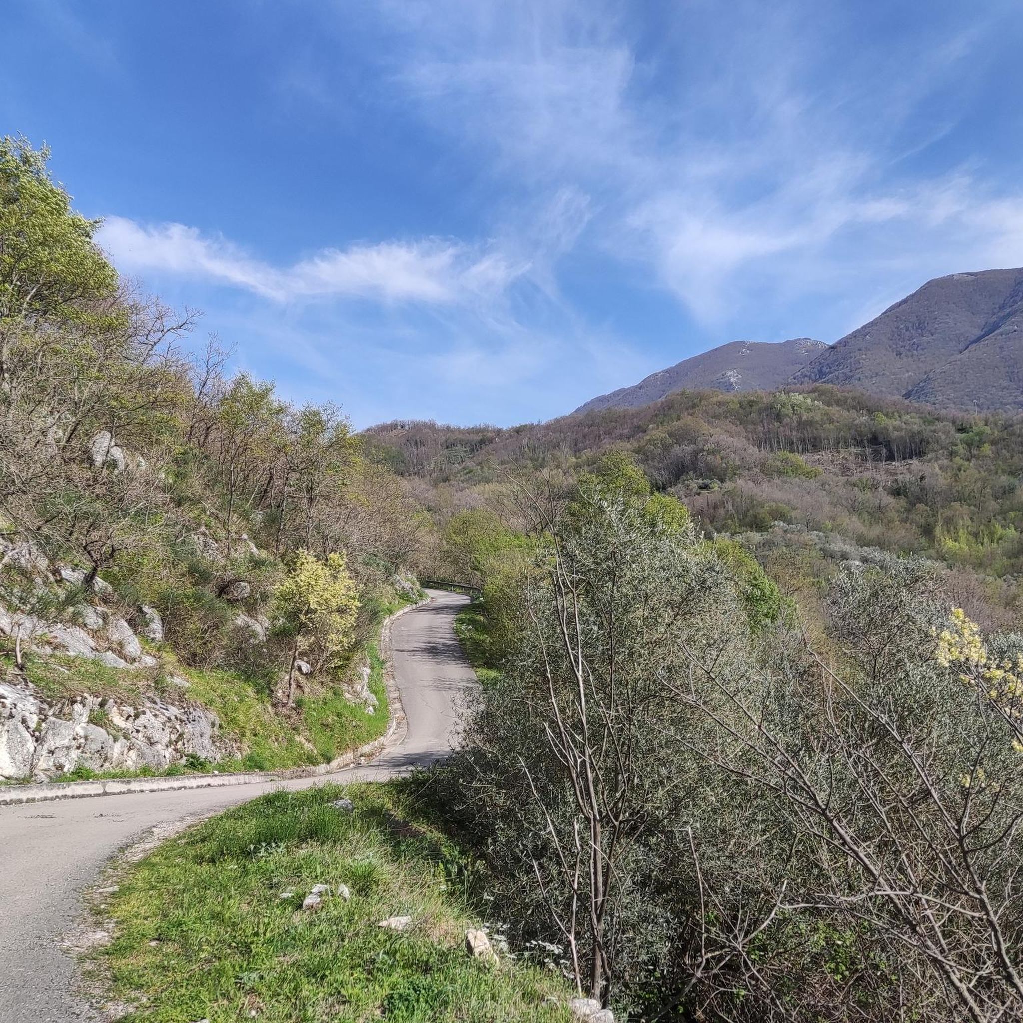
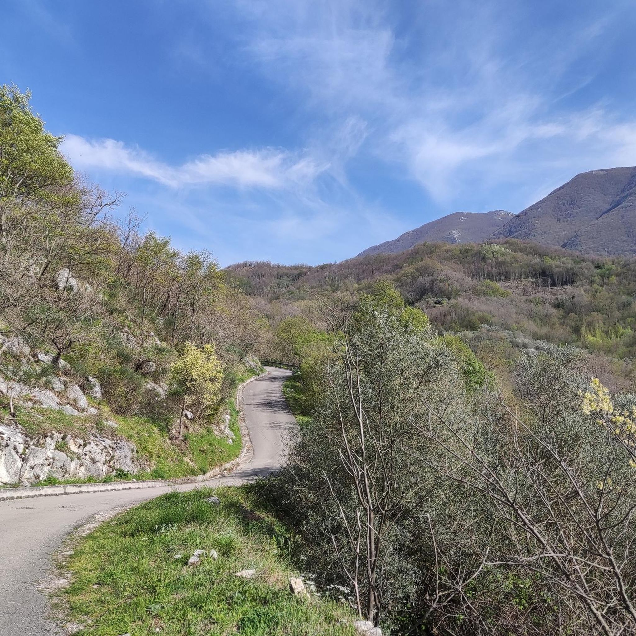
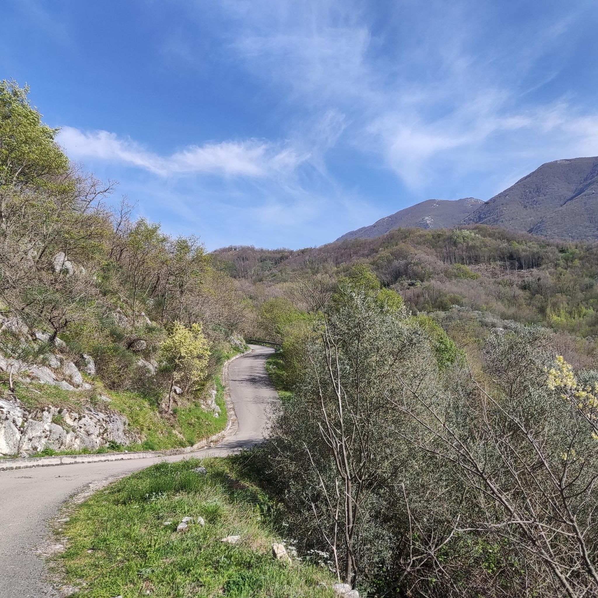
Stunning panorama..among nature and podolic animals. Pure air...
1
0
よくある質問
ラヴィアーノ地域には、マウンテンバイクのトレイルがいくつありますか?
ラヴィアーノ地域は、「ライアーノ」としても知られる広範な地域ネットワークを含め、多様なマウンテンバイクトレイルを提供しています。komootでは、7つの厳選されたマウンテンバイクルートが見つかります。さらに、より広い地域には様々なスキルレベルや好みに対応するルートが多数用意されています。
ラヴィアーノ周辺のマウンテンバイクトレイルでは、どのような地形が予想されますか?
ラヴィアーノ周辺の地形は、なだらかな丘、鬱蒼とした森林、川沿いの谷が特徴です。自然の路面が混在し、挑戦的な登り坂と景色の良い下り坂の両方を提供する起伏があります。この地域の地質にはカルスト地形や広大な景色を望む高台も含まれています。
経験豊富なライダー向けの、難しいマウンテンバイクルートはありますか?
はい、ラヴィアーノにはいくつかの難しいルートがあります。経験豊富なライダーには、コリアーノからのカステッロ・ノルマンノ・ループが、大幅な標高差を伴う31.9マイル(51.4 km)の難易度の高いトレイルです。もう一つの挑戦的な選択肢は、カポセーレからの健康の泉ループで、約30マイルに1,100メートル以上の登りがあります。
ラヴィアーノ近郊でのマウンテンバイク中に、どのような自然の観光名所を見ることができますか?
いくつかの自然の観光名所を発見できます。印象的なバルドナトーレの滝は、5つの異なる滝があり、挑戦的な道からアクセスできます。この地域には美しい森林や多くのトレイル沿いの景色の良い展望台もあり、イタリアの田園風景のパノラマビューを提供しています。
マウンテンバイクルート沿いに、歴史的なランドマークはありますか?
はい、この地域は歴史が豊かです。モンテ・クローチェの頂上にそびえるセネルキア城跡を探検でき、ロンゴバルド族とノルマン人の歴史を垣間見ることができます。オリヴェート・チトラからのアヤラ・ヴァルヴァ城ループは、特に歴史的な地域と自然の景観を通るルートです。
ラヴィアーノのトレイルについて、他のマウンテンバイカーは何と言っていますか?
ラヴィアーノ周辺のマウンテンバイクトレイルは、komootコミュニティから高く評価されており、6件以上のレビューで平均5.0つ星を獲得しています。ライダーは、変化に富んだ地形、自然の美しさと歴史的建造物の組み合わせ、そして様々なレベルに対応するオプションをしばしば賞賛しています。
バランスの取れたライドに適した、中程度の難易度のマウンテンバイクトレイルはありますか?
もちろんです。ペスコパガーノからの名無しのハイライトループは、人気の高い中程度のルートで、17.2マイル(27.7 km)を約2時間5分で走破できます。極端な難易度なしに、地元の風景をバランス良く走ることができます。
この地域には、円形の(ループ状の)マウンテンバイクルートはありますか?
ラヴィアーノ周辺の多くのルートはループ状に設計されており、便利な周回ライドを提供しています。例としては、コリアーノからの挑戦的なカステッロ・ノルマンノ・ループや、オリヴェート・チトラからの適度な難易度のアヤラ・ヴァルヴァ城ループがあり、同じ場所からスタートしてフィニッシュできます。
ラヴィアーノ地域でマウンテンバイクに乗るのに最適な時期はいつですか?
ラヴィアーノでマウンテンバイクに乗るのに最適な時期は、一般的に春と秋です。気候は穏やかで、自然の景色は特に鮮やかです。夏は暑くなることがありますが、早朝や夕方でも快適なライディングが可能です。冬は寒く、雨が多い可能性があるので、現地の天気予報を確認することを常にお勧めします。
自転車でアクセスできる宗教的または文化的な場所はありますか?
はい、バルドナトーレの滝の近くの自然遊歩道からアクセスできる、カルスト洞窟内にある示唆に富む17世紀の教会、マドンナ・デル・フィウメの岩窟教会があります。この場所は地元の伝統が深く、興味深い文化的な立ち寄り先となります。
ラヴィアーノ地域で利用可能な最も長いマウンテンバイクトレイルは何ですか?
リストされている最も長いマウンテンバイクトレイルは、コリアーノからのカステッロ・ノルマンノ・ループで、31.9マイル(51.4 km)に及びます。この難易度の高いルートは、変化に富んだ地形と大幅な標高変化を伴う広範囲なライドを提供します。
ラヴィアーノでのの人気ルート
ラヴィアーノでのの人気観光スポット

komootモバイルアプリでインスピレーションを得よう


さらに探索
他の地域の最高のMTBトレイルを見てみましょう。
