シュムハイムのおすすめウォーキング&ハイキングルート
4.6
(2389)
8,592
ハイカー
587
ハイキング
シュムハイム 周辺でおすすめのハイキングやウォーキングを楽しんでいただけるように、このエリアの小径やルートを集めたkomootコレクション全体を見直しました。 以下で各ルートの詳細をご覧になり、シュムハイム周辺の大自然を満喫する際の参考にしてください。
最終更新日: 10月 27, 2026
4.6
(8)
36
ハイカー
6.32km
01:46
130m
130m
初級者向けハイキング. 歩きやすい道です。
4.9
(17)
37
ハイカー
6.36km
01:43
80m
80m
初級者向けハイキング. 歩きやすい道です。

5.0
(12)
35
ハイカー
5.79km
01:33
70m
70m
初級者向けハイキング. 歩きやすい道です。
4.5
(6)
21
ハイカー
11.8km
03:15
210m
210m
中程度のハイキング. ある程度のフィットネスレベルが必要です。 歩きやすい道です。
4.6
(7)
28
ハイカー
10.7km
02:57
190m
190m
中程度のハイキング. ある程度のフィットネスレベルが必要です。 歩きやすい道です。
さらに多くのルートや他のユーザーのおすすめ情報を確認できます。
すでにアカウントをお持ちですか?
おすすめのツアーは他のkomootユーザーが実際に経験した何千ものアクティビティに基づいています。
無料アカウントで今日から始めよう
次の冒険が待っています。
コミュニティからのヒント


The Lange Bahn mountain hut is located in the middle of the forest at the end of the archaeological hiking trail and is a nice place to stop on a hike. Here you can get simple food and drinks. The hiking hut is open on Saturdays, Sundays and public holidays from 10 a.m. to 5 p.m. You can find more information and the menu at https://lange-bahn.de/.
3
0

A great cross with a great view (when the weather is nice) and suitable seating!
0
0

Former mountain farm of the Commandery of Schleusingen (founded in 1291 by the Counts of Henneberg) of the Order of St. John ... ...Freely accessible via several hiking trails, including the Mäbendorf manor house, about 3.5 km from the north-northwestern district of Mäbendorf. The ruins are located in the forest just 100 m from the "Bergbaude Lange Bahn" tourist restaurant, connected to it by a footpath. Station on the 8.5 km long archaeological hiking trail between Dietzenhausen and Altendambach. Preserved: Excavated ruins of the main house with a small cellar, rising up to about 3 m. The adjacent farm building to the east has not been excavated. Information board from the Thuringian State Archaeological Office. (Source: https://www.alleburgen.de/bd.php?id=39670)
0
0

Idyllically situated small pond with a bench to relax on.
0
0
Small lake with a bench to relax.
1
0

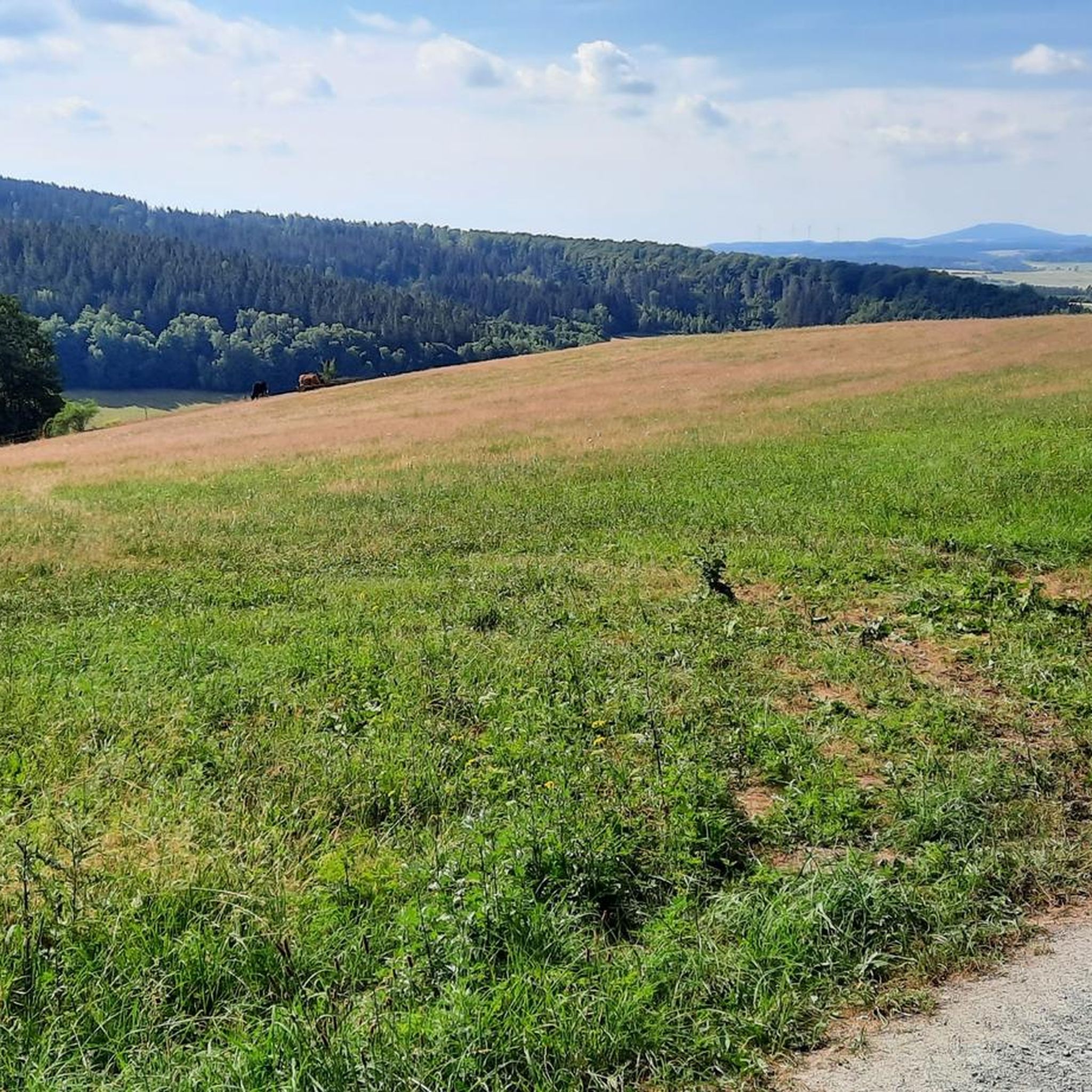
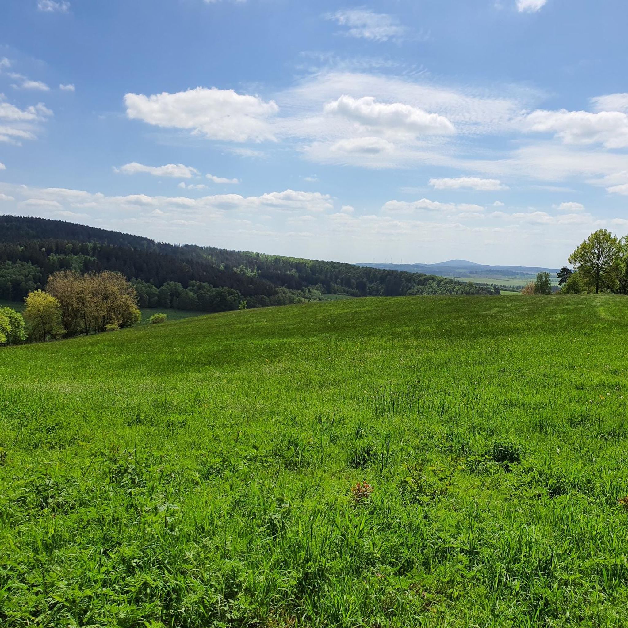
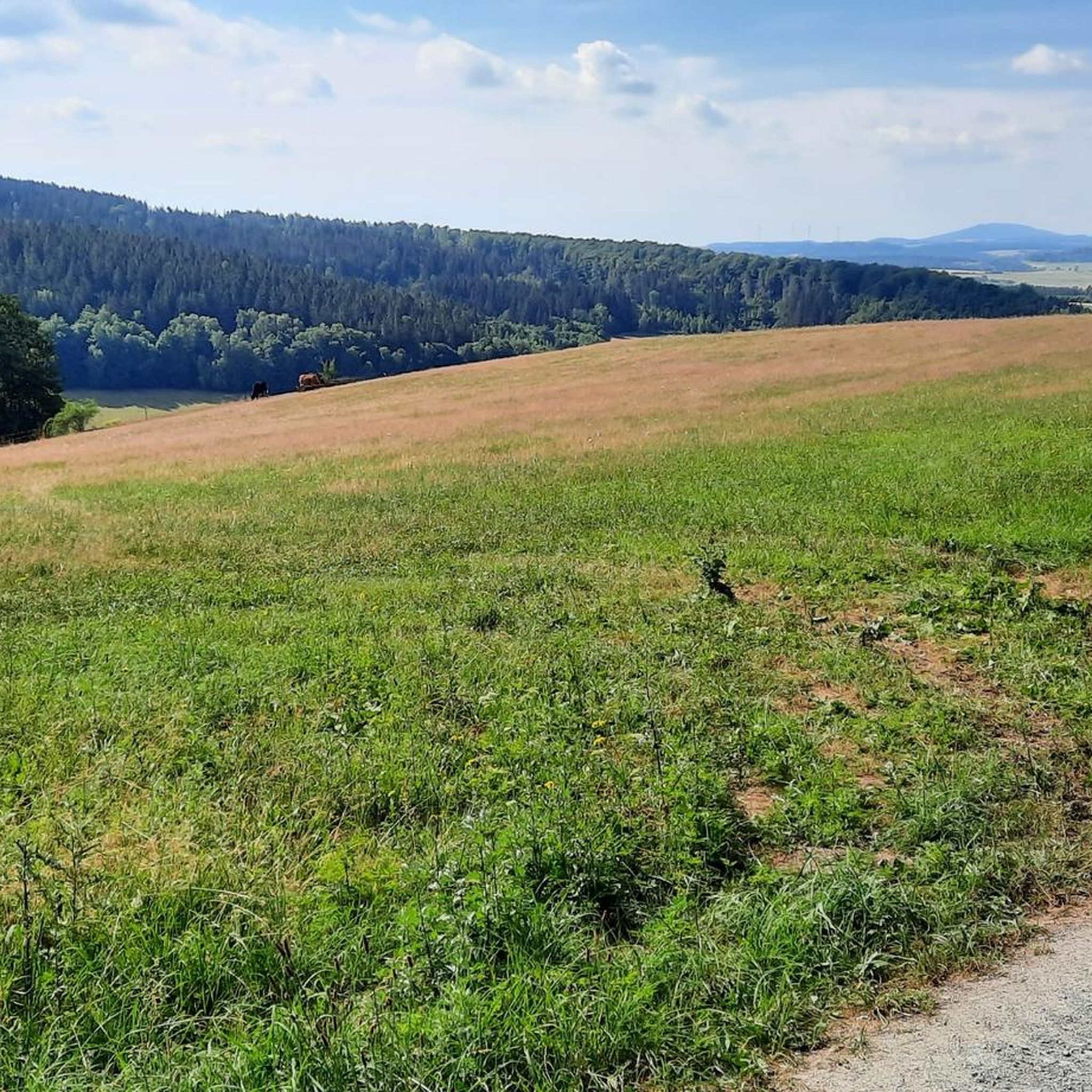
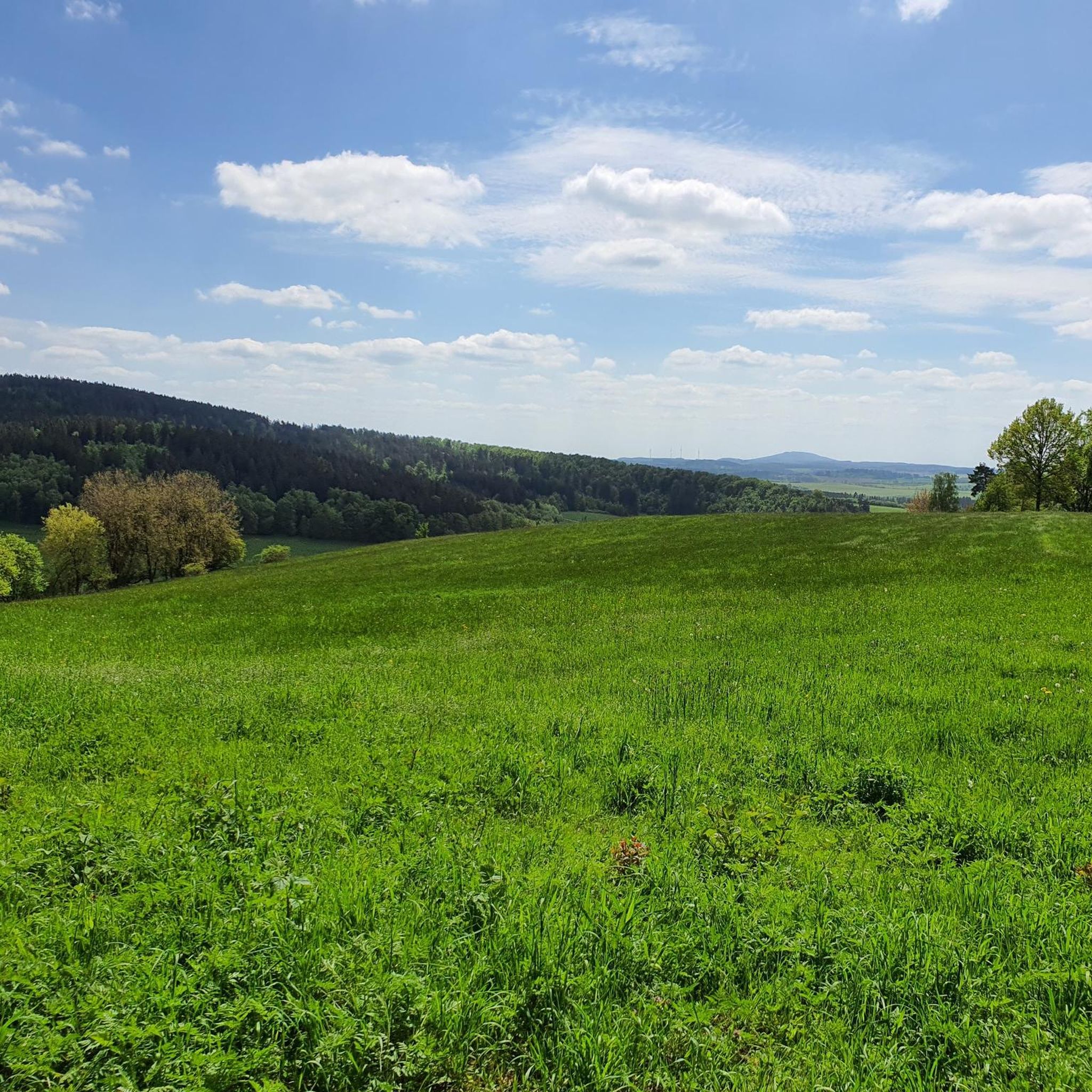
Very nice place to linger. Wonderful view of the Rhön.
1
0

There is a small rest area above Dietzhausen. There are benches and a table, perfect for a rest.
3
1

komootモバイルアプリでインスピレーションを得よう


さらに探索
他の地域の最高のハイキングを見てみましょう。
