アルシエロのおすすめランニングルート
4.5
(95)
6,209
ランナー
15
ランニング
アルシエロでランニングを楽しめば、このエリアをより深く知ることができます。ランニングに適した美しいルートが見つかるように、komootがアルシエロでのルートのコレクション全体を評価して選び抜いた、人気ランニングトレイルをご紹介します。ルートをクリックして詳細を表示し、他のユーザーがアップロードした役立つ情報や写真を閲覧しましょう。
最終更新日: 8月 28, 2026
5.0
(2)
120
ランナー
20.6km
02:56
950m
950m
難しいジョギング. 標準以上のフィットネスレベルが必要です。 安定して歩行できる技術、丈夫な靴、高標高地での登山経験が必要です。
5.0
(2)
236
ランナー
14.5km
01:32
150m
150m
中程度のジョギング. ある程度のフィットネスレベルが必要です。 全般的に舗装された状態です。あらゆるスキルレベルに適しています。

無料新規登録
21
ランナー
23.0km
04:21
1,420m
1,420m
難しいジョギング. 標準以上のフィットネスレベルが必要です。 安定して歩行できる技術、丈夫な靴、高標高地での登山経験が必要です。
16
ランナー
8.09km
00:52
130m
130m
中程度のジョギング. ある程度のフィットネスレベルが必要です。 全般的に舗装された状態です。あらゆるスキルレベルに適しています。
11
ランナー
13.2km
01:25
200m
200m
中程度のジョギング. ある程度のフィットネスレベルが必要です。 全般的に舗装された状態です。あらゆるスキルレベルに適しています。
さらに多くのルートや他のユーザーのおすすめ情報を確認できます。
無料新規登録
すでにアカウントをお持ちですか?
おすすめのツアーは他のkomootユーザーが実際に経験した何千ものアクティビティに基づいています。
無料アカウントで今日から始めよう
次の冒険が待っています。
ログインまたは登録

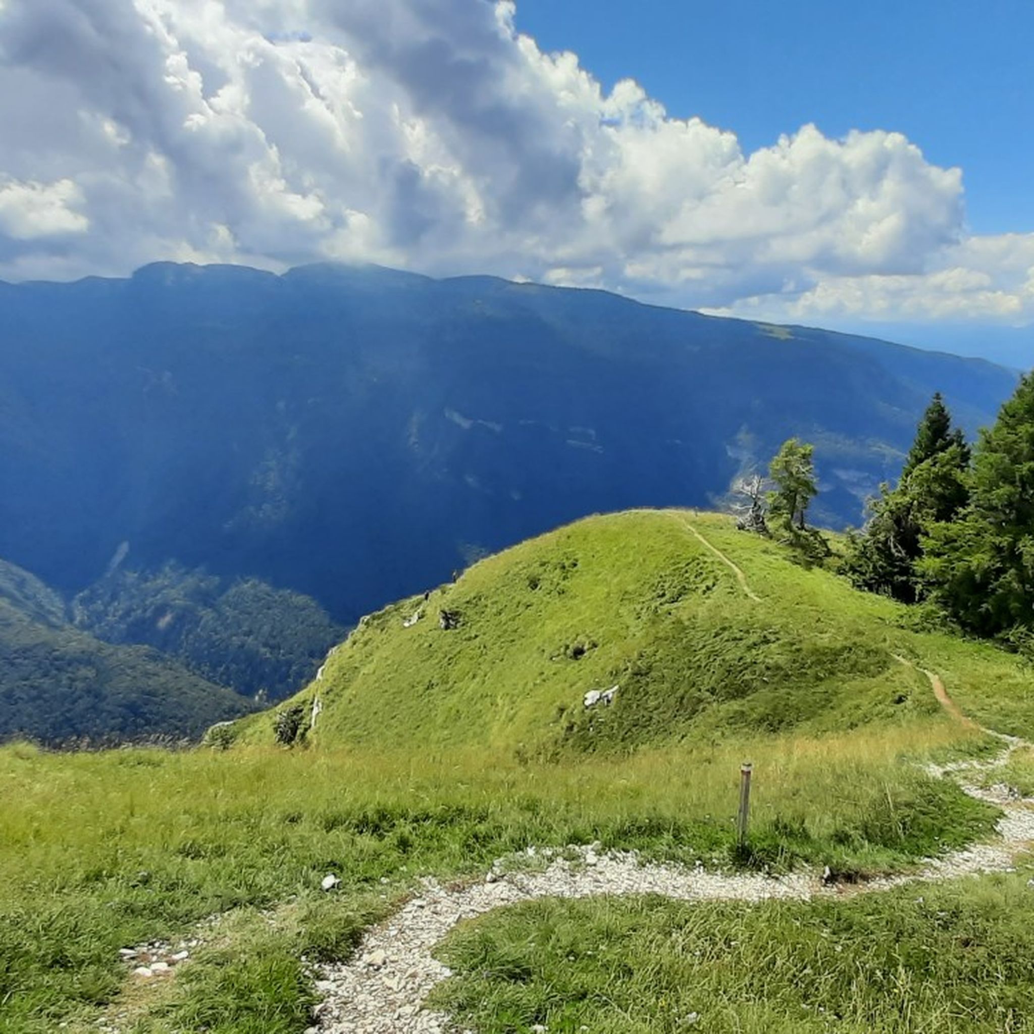
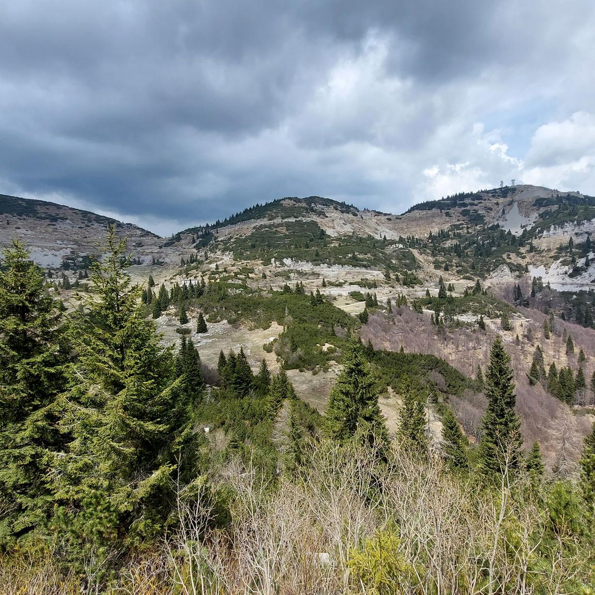

コミュニティからのヒント


To remember those who lost their lives in the war and to admire the mountains that surround us
1
0

A mountain of great historical significance due to the events of the First World War. It preserves traces of its past, with trench lines and military mule tracks.
0
0

DO NOT GO UP TO MONTE MAGGIO BY THE TRACK ⚠️ but take the dirt road from Passo Coe, changing the track👍
1
0

Mount Maio or Majo (1499m) offers a beautiful overhanging view of the upper Val Posina and the eastern profile of the Pasubio group. During the Great War, after the Strafexpedition of 1916 and the subsequent retreat of the Austro-Hungarian soldiers, the mountain was transformed by them into an impregnable observation outpost on the Novegno, Val Posina and Val di Ferro: at the time there were not all these trees blocking the view. The Italian infantry assaulted it repeatedly, conquering its ante-summit (the nearby Kastele), but they never managed to flush the enemy from the summit: the two sides remained spying on and facing each other a few dozen meters away, until the end of the conflict. The trench lines are still visible. N.B.: the signs indicate the saddle below as 'Monte Maio' ('Bocchetta del Dina'), but for the panoramic point with a cross you need to climb to 'Monte Maieto' (5min). TIP: Cima Kastele, a 10-minute walk away, offers a much wider and more worthwhile view, because it is not obstructed by trees and reliefs; from there you can see, from left to right, the Asiago Plateau, the lower Val d'Astico, Summano, Priaforà, the entire northern profile of Novegno and Pasubio.
3
0

beautiful stretch to reach Arsiero from Piovene Rocchette.... away from traffic and asphalt!!!
0
0

From the summit of Monte Maggio (1853 m) the view is majestic: on one side the view extends over the Passo Coe, the Alpe Cimbra, the Becco di Filadonna, and beyond; on the other, over the underlying basin of Laghi, the Tonezza plateau and the Asiago plateau, the Pasubio, the Novegno, up to the glimpse of the Venetian plain that widens at lower altitudes. During the First World War, Monte Maggio was disputed from the beginning of the conflict, given that the border between the Austro-Hungarian Empire and the Kingdom of Italy (today between Trentino and Vento) passed on its crest: trenches and cave shelters are still clearly visible all around. https://it.wikipedia.org/wiki/Monte_Maggio
0
0

komootモバイルアプリでインスピレーションを得よう


さらに探索
他の地域の最高のランニングトレイル & ルートを見てみましょう。
