シュレードルフのおすすめウォーキング&ハイキングルート
4.5
(2921)
14,509
ハイカー
54
ハイキング
シュレードルフ周辺でのハイキングは、景色を満喫するのに最適な手段のひとつですが、適切なハイキングルートを見つけることは簡単ではありません。 シュレードルフ周辺の人気ハイキング&ウォーキングコースを参考にすれば、行きたいルートをすぐに見つけられます。
最終更新日: 11月 1, 2026
4.2
(649)
2,625
ハイカー
13.6km
03:47
220m
220m
中程度のハイキング. ある程度のフィットネスレベルが必要です。 ほとんどが歩ける道です。足元への注意が必要です。
4.6
(83)
250
ハイカー
10.8km
03:43
540m
540m
中程度のハイキング. ある程度のフィットネスレベルが必要です。 ほとんどが歩ける道です。足元への注意が必要です。

4.4
(82)
425
ハイカー
11.7km
04:12
560m
560m
難しいハイキング. ある程度のフィットネスレベルが必要です。 安定して歩行できる技術、丈夫な靴、高標高地での登山経験が必要です。
4.5
(51)
193
ハイカー
10.4km
03:03
290m
290m
中程度のハイキング. ある程度のフィットネスレベルが必要です。 歩きやすい道です。
4.6
(55)
345
ハイカー
8.22km
02:30
240m
240m
難しいハイキング. ある程度のフィットネスレベルが必要です。 安定して歩行できる技術、丈夫な靴、高標高地での登山経験が必要です。
さらに多くのルートや他のユーザーのおすすめ情報を確認できます。
すでにアカウントをお持ちですか?
おすすめのツアーは他のkomootユーザーが実際に経験した何千ものアクティビティに基づいています。
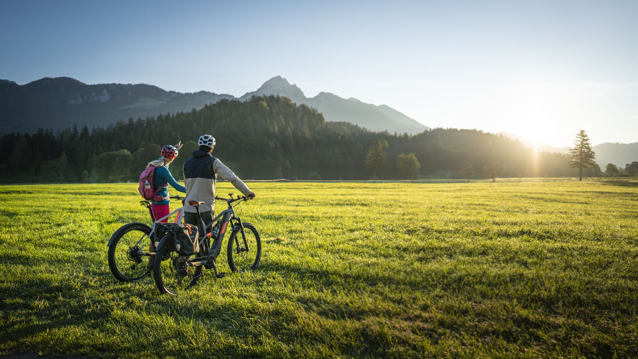
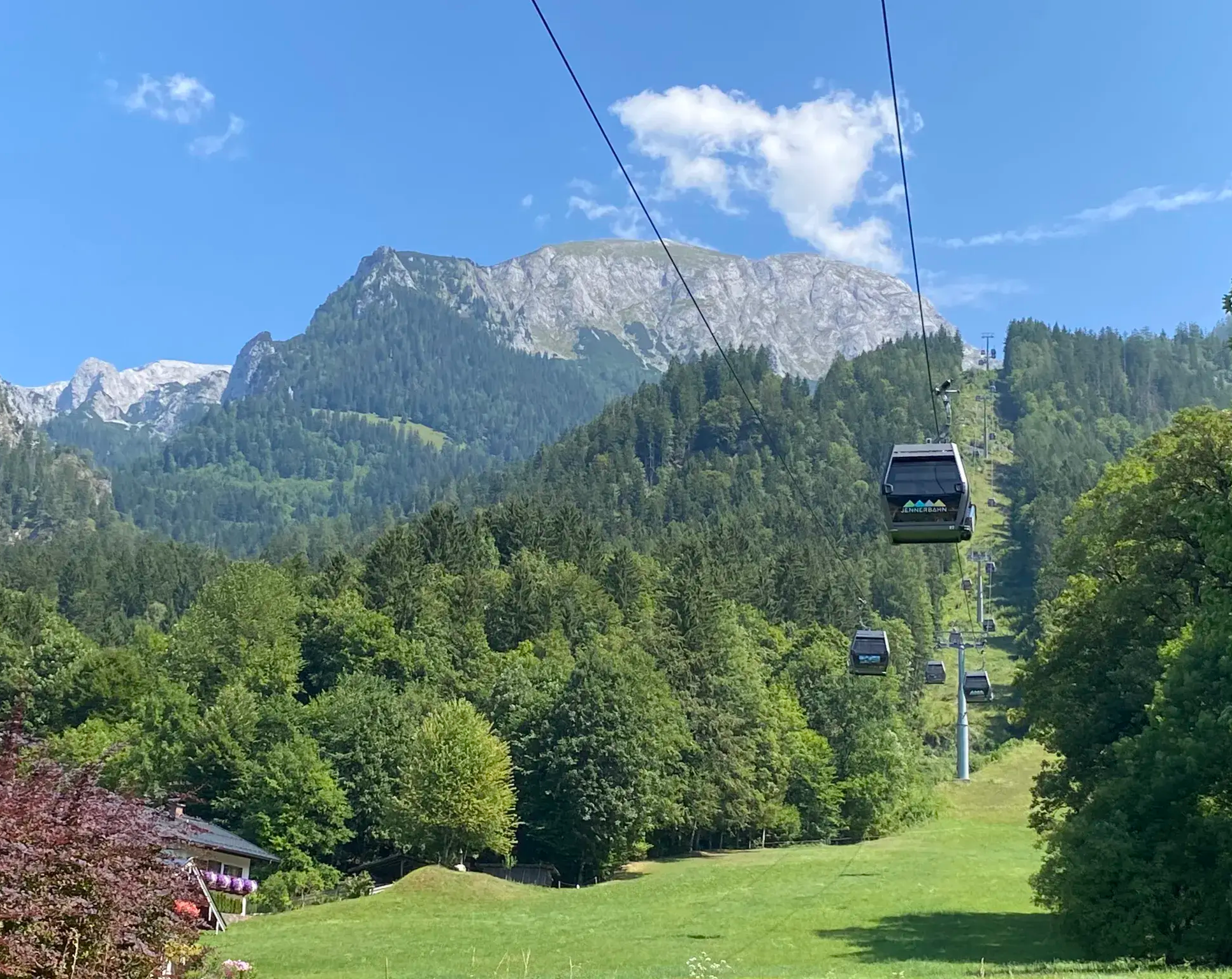
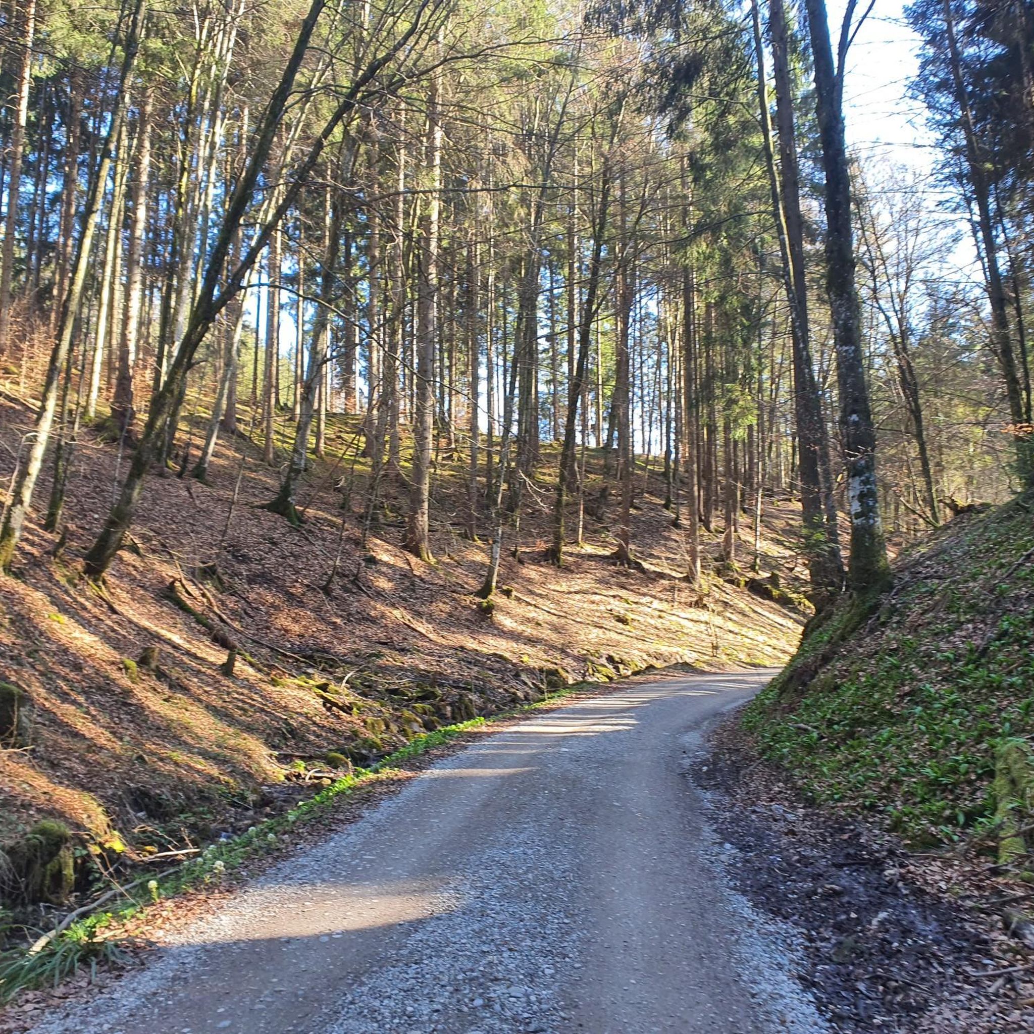


コミュニティからのヒント

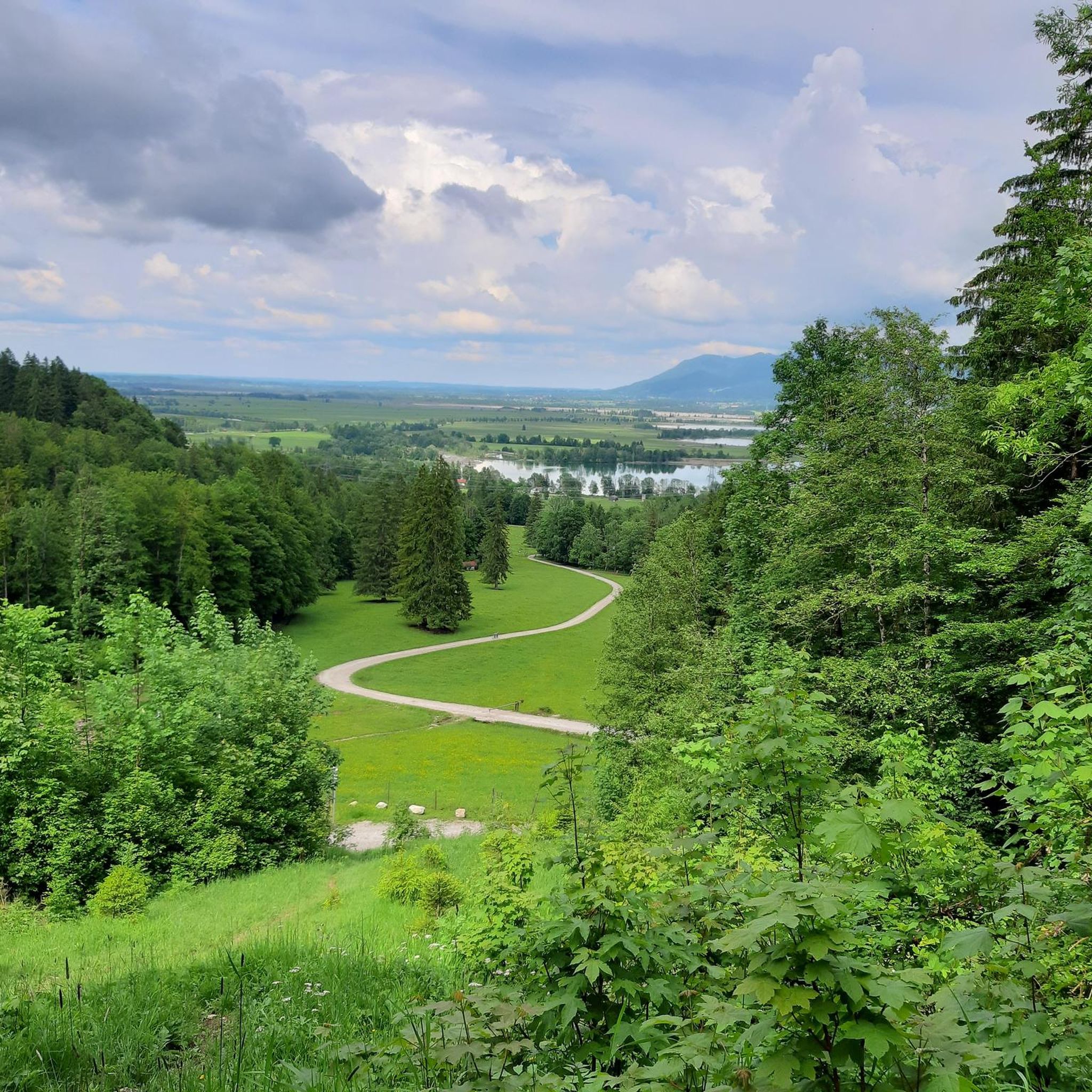
Kochelseeでは、2つの風景が出会います。南側にはHerzogstandとHeimgartenが水面から急峻にそびえ立ち、北側では湖が浅くなり、広大なLoisach-Kochelsee湿原へと続いています。氷河期に氷河が盆地を削り取ったため、当時の湖は今よりもずっと大きなものでした。現在ではLoisach川が流れ込み、Walchensee発電所を通じて、より標高の高い場所にあるWalchenseeからも水が供給されています。ここでは水泳やパドリングを楽しんだり、船で湖を渡ったりすることができます。フェーン現象が起こるとKesselbergから強い風が吹き下ろすため、サーフィンをする人たちには絶好のコンディションとなります。
1
0

この湖は、ヴュルム氷期にイザール・ロイザッハ氷河によって削られて形成されました。
0
0

Every small sacred monument, such as the summit cross/crucifix we encounter here, is not only a symbol of the death of Jesus Christ, but also testifies to the Christian belief in the resurrection of the dead. At the same time, it is always an invitation to passersby to turn to God with a brief, trusting prayer. On the ZDF website, in an article for the series "Lesch Sees Schwartz" (an exchange of ideas between the natural scientist Harald Lesch and the theologian Thomas Schwartz), under the heading "Prayer Touches Life," I found the following text: "You ask why prayer can provide support, have a healing effect, and help us to live more consciously and to pause. Prayer means contemplating oneself and life—in conversation with God, oneself, and the world. It connects religious people, creates community, and structures everyday life, also through prayer rituals, and it opens paths to inner strength and serenity."
1
0


Lake Kochel is located 70 km south of Munich on the edge of the Bavarian Alps. It is part of the municipalities of Kochel am See to the east and Schlehdorf to the west. The lake is owned by the Free State of Bavaria and managed by the Bavarian Administration of State Palaces, Gardens and Lakes.
1
0

komootモバイルアプリでインスピレーションを得よう


さらに探索
他の地域の最高のハイキングを見てみましょう。
