モンテスクードモンテコロンボのおすすめウォーキング&ハイキングルート
4.3
(517)
2,593
ハイカー
37
ハイキング
モンテスクードモンテコロンボ周辺でのハイキングは、景色を満喫するのに最適な手段のひとつですが、適切なハイキングルートを見つけることは簡単ではありません。 モンテスクードモンテコロンボ周辺の人気ハイキング&ウォーキングコースを参考にすれば、行きたいルートをすぐに見つけられます。
最終更新日: 9月 19, 2026
4.4
(5)
18
ハイカー
4.55km
01:28
200m
200m
初級者向けハイキング. あらゆるフィットネスレベルに適しています。 進みやすいルートです。あらゆるスキルレベルに適しています。
4.7
(10)
13
ハイカー
10.9km
03:19
380m
380m
中程度のハイキング. ある程度のフィットネスレベルが必要です。 全般的に進みやすいルートです。安定して歩行できる技術が必要です。

5.0
(6)
16
ハイカー
15.6km
04:28
360m
360m
中程度のハイキング. ある程度のフィットネスレベルが必要です。 進みやすいルートです。あらゆるスキルレベルに適しています。
4.9
(7)
12
ハイカー
5.46km
01:45
240m
240m
中程度のハイキング. あらゆるフィットネスレベルに適しています。 全般的に進みやすいルートです。安定して歩行できる技術が必要です。
5.0
(1)
6
ハイカー
12.5km
03:51
430m
430m
中程度のハイキング. ある程度のフィットネスレベルが必要です。 進みやすいルートです。あらゆるスキルレベルに適しています。
さらに多くのルートや他のユーザーのおすすめ情報を確認できます。
すでにアカウントをお持ちですか?
おすすめのツアーは他のkomootユーザーが実際に経験した何千ものアクティビティに基づいています。
無料アカウントで今日から始めよう
次の冒険が待っています。

コミュニティからのヒント

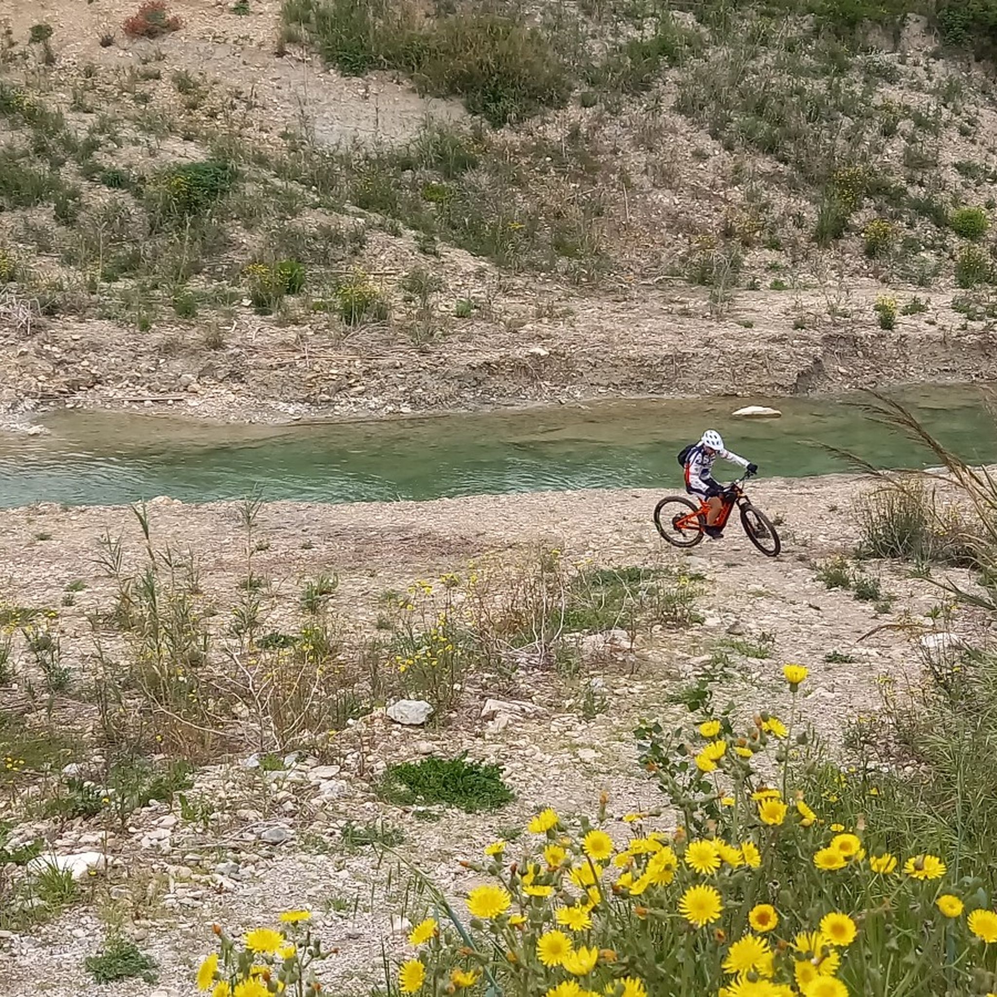
The Conca river is a watercourse that flows in the Rimini Apennines. It originates from the eastern side of Mount Carpegna, at 1415 meters above sea level, and continues in the direction of the Adriatic Sea, covering approximately 44.5 kilometres.
0
0

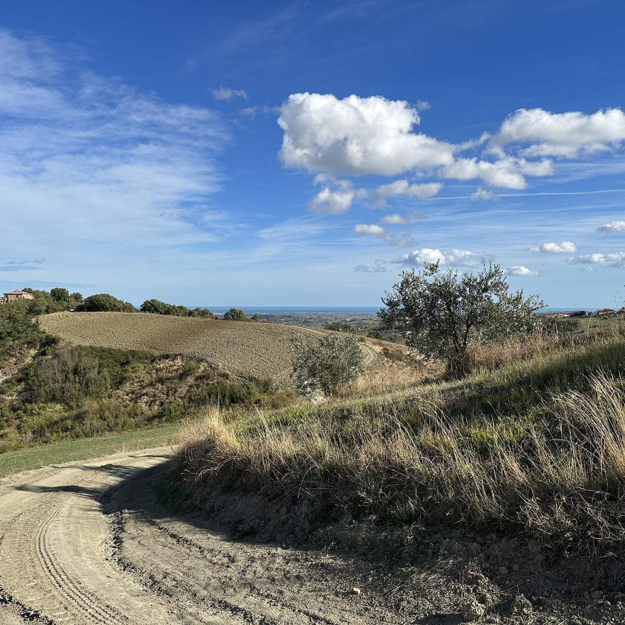
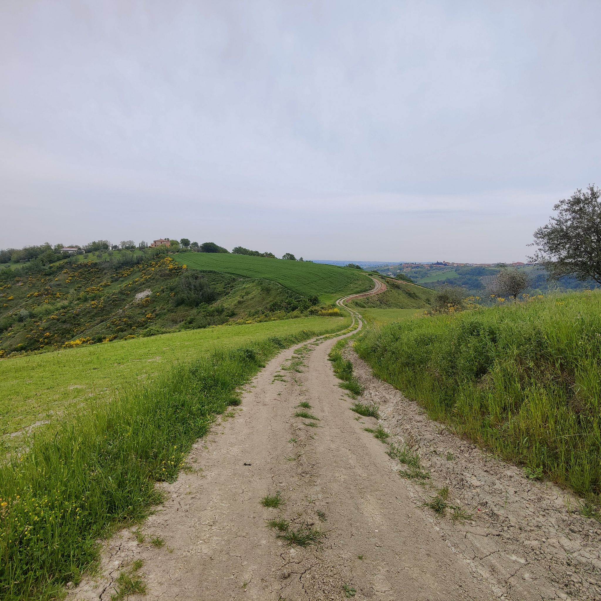
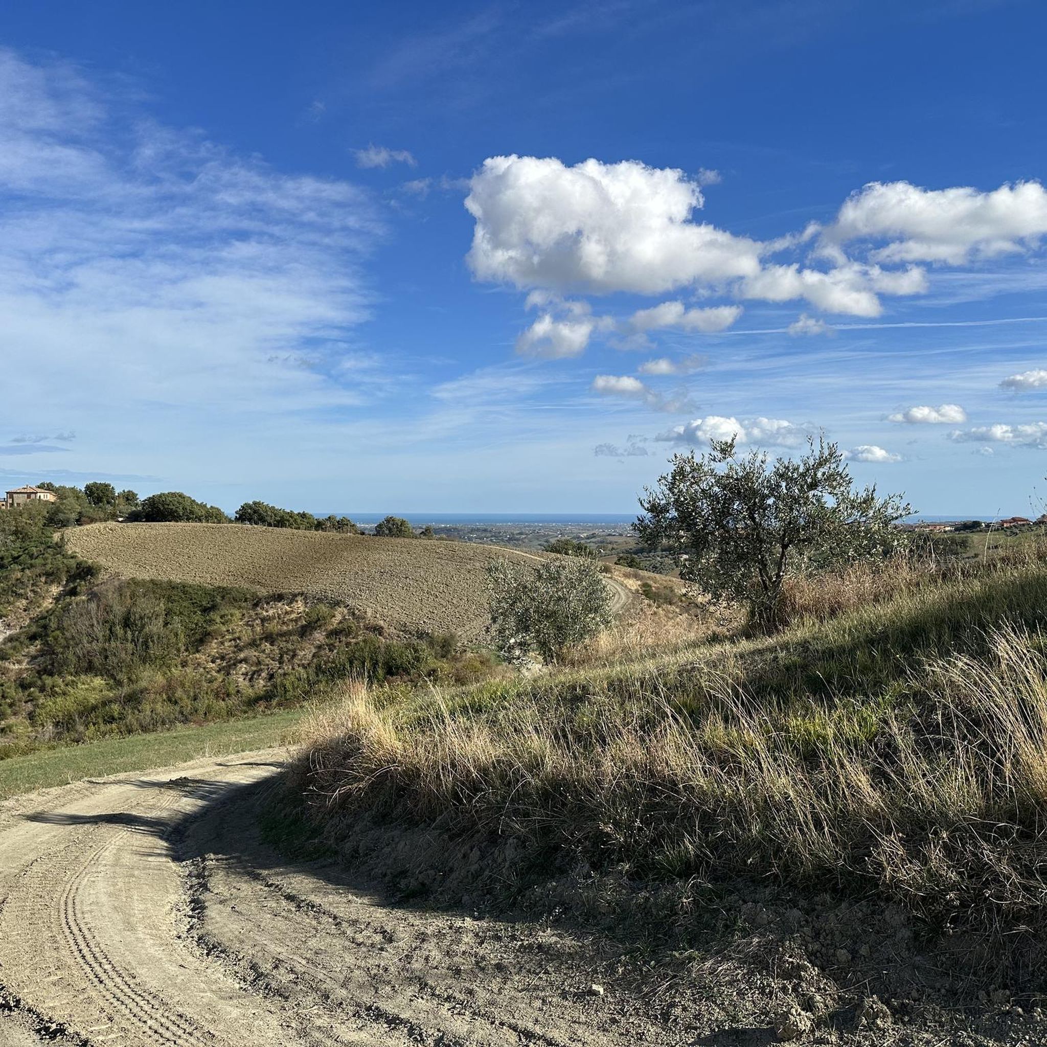
Beautiful dirt road in the hills near the town of Gemmano. The landscape of cultivated fields and patches of woods is very relaxing.
0
0
Gemmano is a village perched on a hill overlooking the Adriatic Sea. The very small historic center still retains its medieval layout. It was an important center during the Second World War, as an outpost on the Gothic Line.
0
0
From this panoramic point you can observe the hills that slowly slope towards the sea. The color combination of the green of the trees, the cultivated fields and the blue of the sea is very suggestive.
0
0
From this bridge it is possible to observe the stony bed of the Conca river. The river is often dry but during flood periods the flow of water completely transforms the landscape.
0
0
Fratte di Sassofeltrio is part of the municipality of Sassofeltrio, in the province of Pesaro Urbino, Marche region.
0
0
Sassofeltrio is a municipality in the province of Rimini, in the Italian region of Emilia-Romagna. It is located approximately 145 kilometers south-east of Bologna and approximately 21 kilometers south of Rimini.
0
0
モンテスクードモンテコロンボでのの人気観光スポット

komootモバイルアプリでインスピレーションを得よう


さらに探索
他の地域の最高のハイキングを見てみましょう。
