サンバーナディーノ山脈のおすすめウォーキング&ハイキングルート
4.6
(967)
12,759
ハイカー
342
ハイキング
サンバーナディーノ山脈でのハイキングに出かけて、サンバーナーディーノ郡のこのエリアを探索してみませんか?このガイドでご紹介するのは、komootがサンバーナディーノ山脈でのハイキング・ウォーキングルートのコレクション全体を評価して選び抜いた、このエリアの人気ハイキングルートです。あなたに合った でのハイキングを見つけるには、他のユーザーがアップロードした役立つ情報や写真を閲覧し、各ルートに関するみんなの意見やコメントを参考にしましょう。
最終更新日: 10月 11, 2026
4.7
(71)
1,076
ハイカー
2.06km
00:33
20m
20m
Embark on an easy hike along the Barker Dam Nature Trail, a 1.3-mile (2.1 km) loop that takes you through classic Joshua Tree scenery. You will experience a gentle elevation…
4.8
(138)
2,168
ハイカー
2.02km
00:34
40m
40m
Explore the Hidden Valley Trail, an easy 1.3-mile (2.0 km) loop that takes about 33 minutes to complete. You will gain 129 feet (39 metres) in elevation as you wander…

4.8
(50)
434
ハイカー
9.84km
03:07
460m
320m
If you're ready for a rewarding moderate hike, the Warren Peak via Black Rock Canyon and Panorama Loop offers a great experience. This 6.1-mile (9.8 km) route takes about 3…
4.9
(13)
289
ハイカー
3.14km
00:52
50m
50m
Embark on an easy hike along the Split Rock Loop Trail, a 2.0-mile (3.1 km) route that offers a quintessential Joshua Tree experience. You will navigate sandy paths and rocky…
4.9
(43)
941
ハイカー
4.81km
01:44
300m
300m
Embark on the Ryan Mountain Trail, a moderate 3.0 miles (4.8 km) hike that leads you through the distinctive Mojave Desert landscape. You will gain 995 feet (303 metres) in…
4.6
(9)
122
ハイカー
3.39km
00:53
20m
20m
Embark on an easy 2.1-mile (3.4 km) hike along the Wall Street Mill Trail, a route that takes about 52 minutes to complete. You will gain a gentle 78 feet…
4.9
(56)
489
ハイカー
12.3km
03:47
450m
450m
Embark on the Warren Peak and Panorama Loop Trail, a moderate hike spanning 7.6 miles (12.3 km) with an elevation gain of 1492 feet (455 metres). You can expect to…
4.6
(8)
27
ハイカー
15.1km
04:39
570m
540m
Embark on the Eureka Peak and Burnt Hill Loop, a moderate hiking route that takes you through the diverse landscapes of Joshua Tree National Park. This trail offers a comprehensive…
4.8
(53)
460
ハイカー
10.0km
03:01
340m
340m
Embark on the Black Rock Canyon and Panorama Loop Trail, a moderate hiking route that guides you through the varied terrain of Joshua Tree National Park. You will cover 6.2…
4.0
(1)
51
ハイカー
6.83km
02:04
230m
210m
Embark on the Whitewater Canyon View Loop Trail for a moderate hike that showcases the desert's diverse beauty. You will traverse the wash of the Whitewater River, crossing via wooden…
さらに多くのルートや他のユーザーのおすすめ情報を確認できます。
すでにアカウントをお持ちですか?
おすすめのツアーは他のkomootユーザーが実際に経験した何千ものアクティビティに基づいています。
無料アカウントで今日から始めよう
次の冒険が待っています。


コミュニティからのヒント

ライアン山(1663m)は、初期の牧場主で鉱山経営者のJ.D.ライアン(1890年代半ばからここに住み、1896年に牧場建設を開始し、近くのロストホース鉱山も経営していました。ロストホース鉱山は1894年から1931年の間に合計10,000オンス(約280kg)以上の金と16,000オンス(約450kg)以上の銀を産出しました)にちなんで名付けられました。道自体は「ハード」に分類されており、よく整備されていて、私たちにとっては頂上まで適度な急勾配です。頂上からは360度のパノラマビューが楽しめます!注意:頂上の積み上げられた石の下にはガラガラヘビが「生息している」と言われているので、目を離さないでください!
0
0

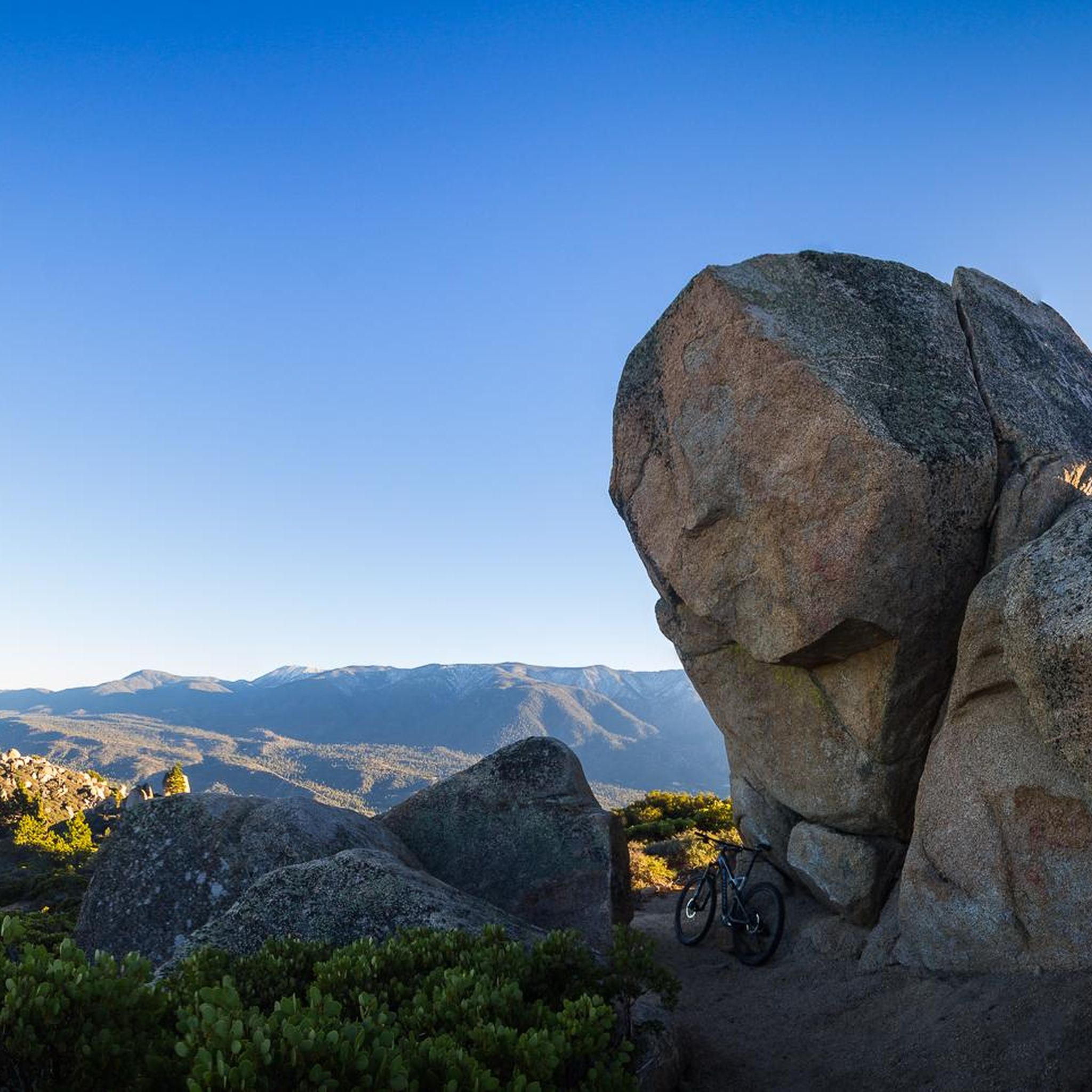
To me, this rock looks like a flower or the flame of the Olympic torch :)
0
0
Fantastic 360° views from the summit dome in good visibility. In January, the summit was very windy (it's worth considering this when planning your clothing). There's virtually no shade on the trail – something to consider in summer. The trail is clear and not too demanding.
0
0

the effort to brave the heat
0
0

Looks good
0
0

Good to walk and not too long. But take water with you. The panorama really impressed me. One of the most beautiful places ever.
0
0

Looking west from the summit you can see across Pinto Basin to Joshua Tree National Park. Indeed, Ryan Mountain has its own display of unique desert flora. The trail starts flat and becomes more steep as you climb, offering spectacular panoramic views and plenty of space to explore at the summit.
0
0

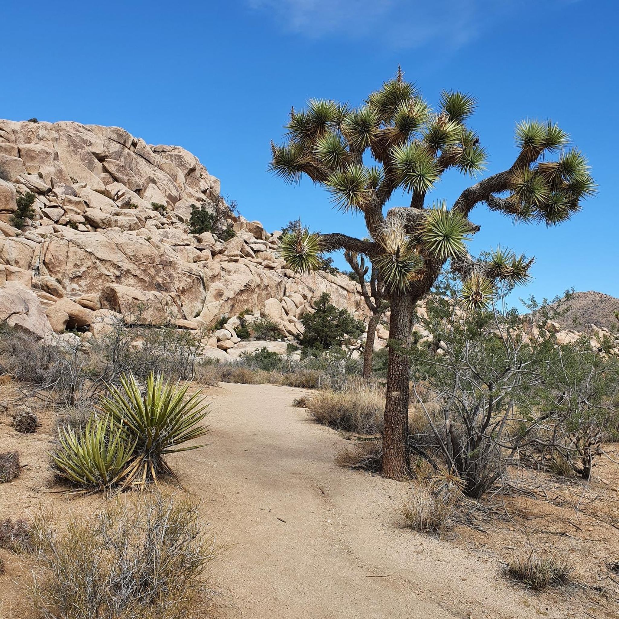
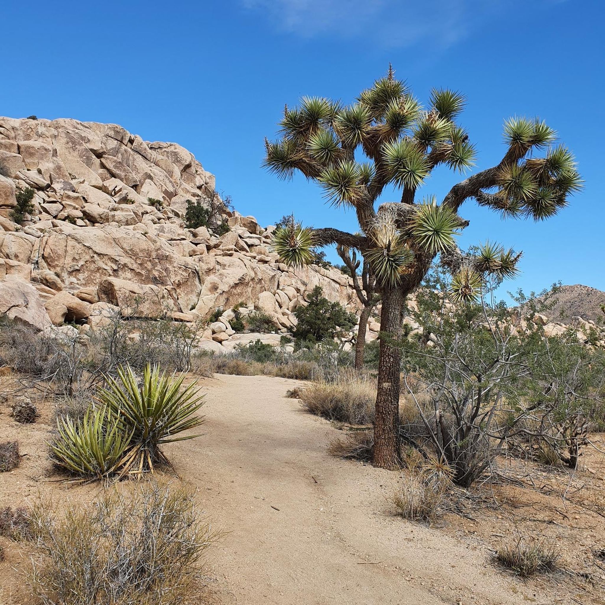
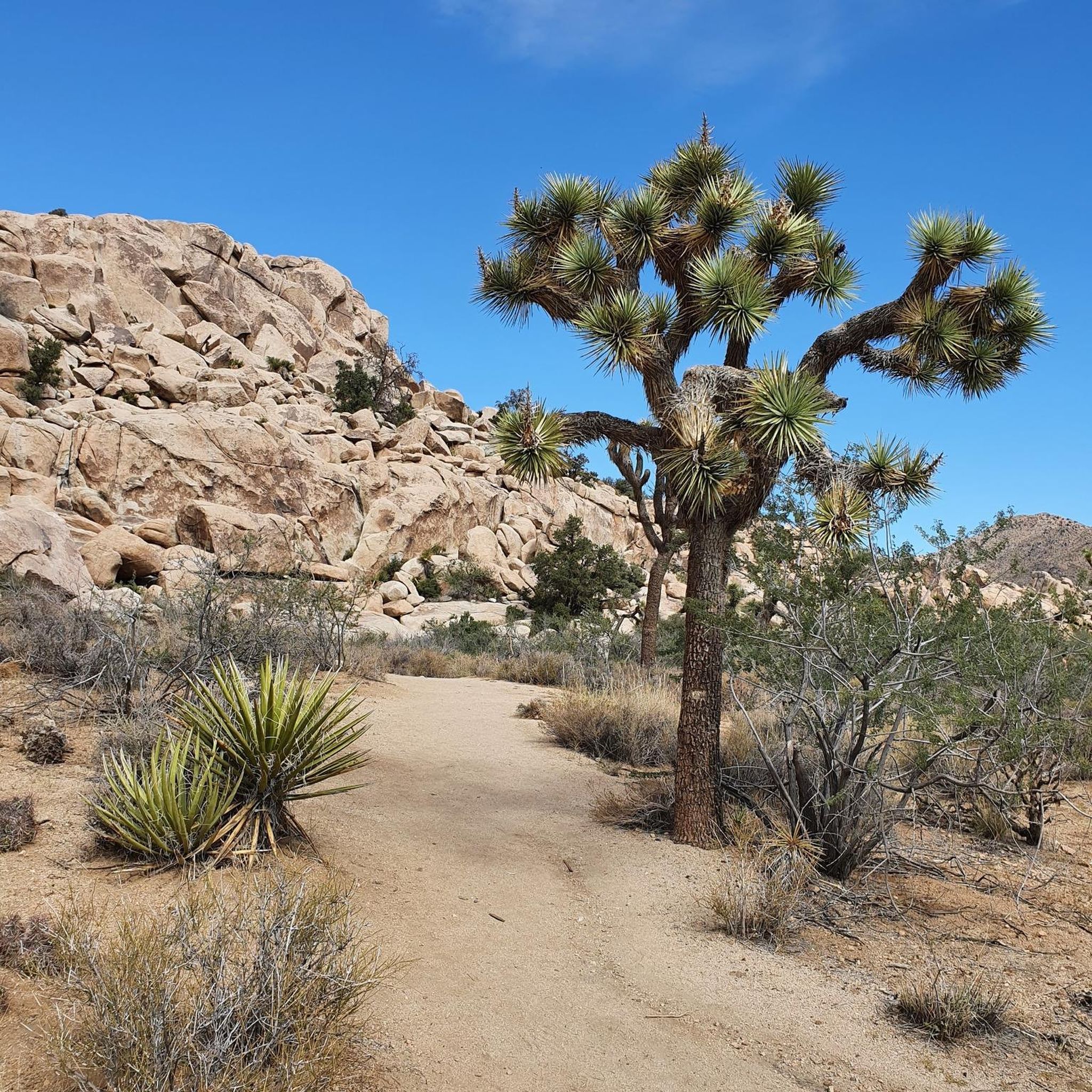
The Hidden Valley Trail is a one-mile loop that offers meander through large rock formations, perfect for families and rock scrambling. Along the trail, you’ll find educational signs about local plants and animals, and you can spot "Cow Rock," a cow-shaped formation on the valley wall. The trail is easy but includes stairs and rock steps at the start and end. It’s a popular hike, so arriving early, especially on weekends, is recommended. The trail has little shade and bad cell service.
1
0
サンバーナディーノ山脈でのの人気ルート
サンバーナディーノ山脈でのの人気観光スポット

komootモバイルアプリでインスピレーションを得よう


さらに探索
他の地域の最高のハイキングを見てみましょう。
