4.7
(84)
2,925
ライダー
32
ライド
サゴクン周辺のロードバイクルートをお探しですか?ここでは、komootが提供するサゴクンでのロードバイクライドのコレクション全体を評価して選び抜いた人気ルートをご紹介します。各ライドの詳細をぜひご覧ください。
最終更新日: 5月 11, 2026
4.9
(10)
415
ライダー
92.1km
05:20
2,170m
2,170m
難しいロードライド. 標準以上のフィットネスレベルが必要です。 ツアーの一部に、未舗装のため走行が難しい箇所があるかもしれません。
5.0
(1)
70
ライダー
24.5km
02:03
1,150m
1,150m
難しいロードライド. 標準以上のフィットネスレベルが必要です。 全般的に舗装状態が良好で走行しやすい道です。

無料新規登録
4.0
(2)
60
ライダー
28.6km
01:46
780m
780m
中程度のロードライド. ある程度のフィットネスレベルが必要です。 全般的に舗装状態が良好で走行しやすい道です。
36
ライダー
46.8km
02:18
670m
670m
中程度のロードライド. ある程度のフィットネスレベルが必要です。 全般的に舗装状態が良好で走行しやすい道です。
43
ライダー
33.7km
02:34
890m
890m
中程度のロードライド. ある程度のフィットネスレベルが必要です。 ツアーの一部に、未舗装のため走行が難しい箇所があるかもしれません。
さらに多くのルートや他のユーザーのおすすめ情報を確認できます。
無料新規登録
すでにアカウントをお持ちですか?
おすすめのツアーは他のkomootユーザーが実際に経験した何千ものアクティビティに基づいています。
無料アカウントで今日から始めよう
次の冒険が待っています。
ログインまたは登録
easy to drive and scenically spectacular
0
0
A place of power in a special class
0
0
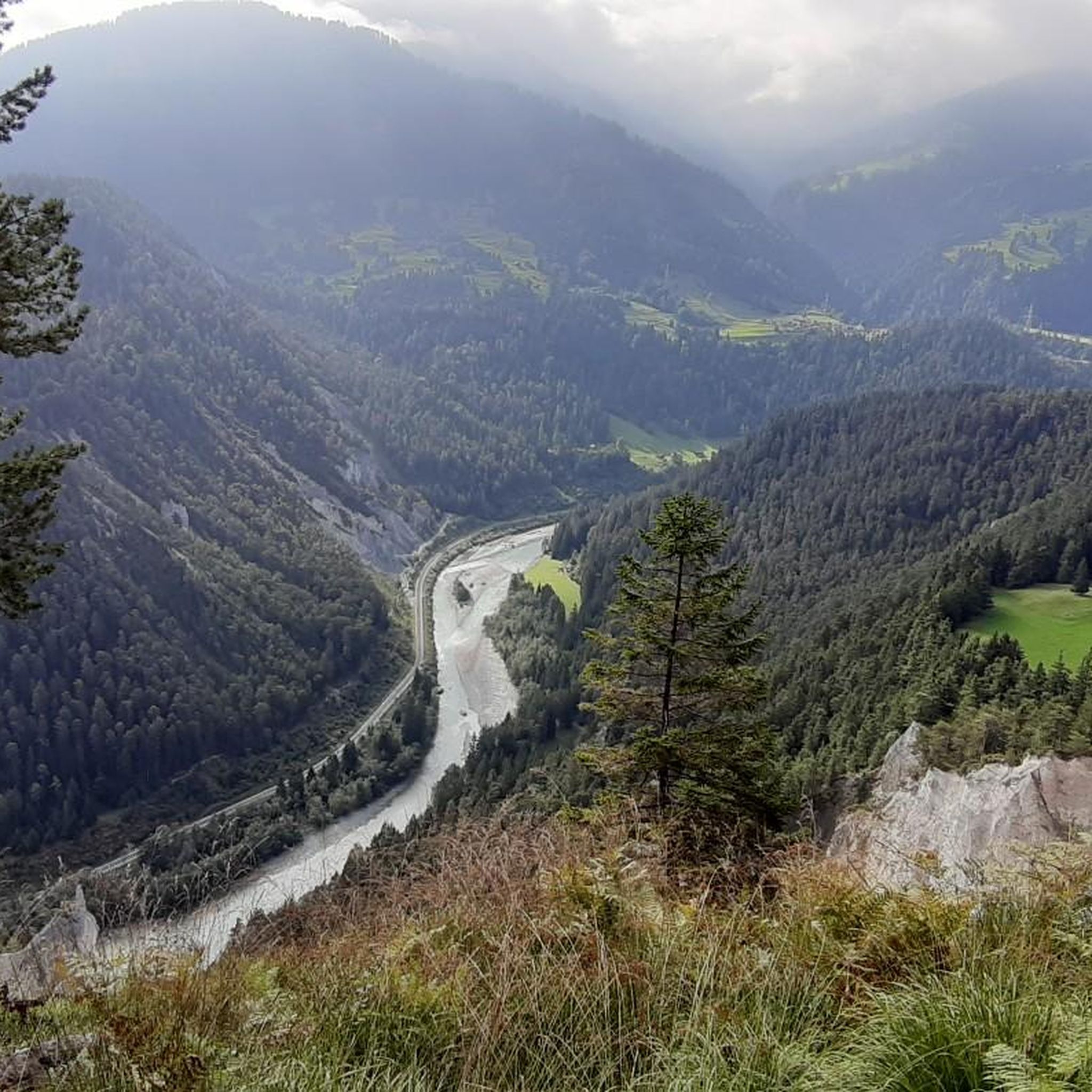
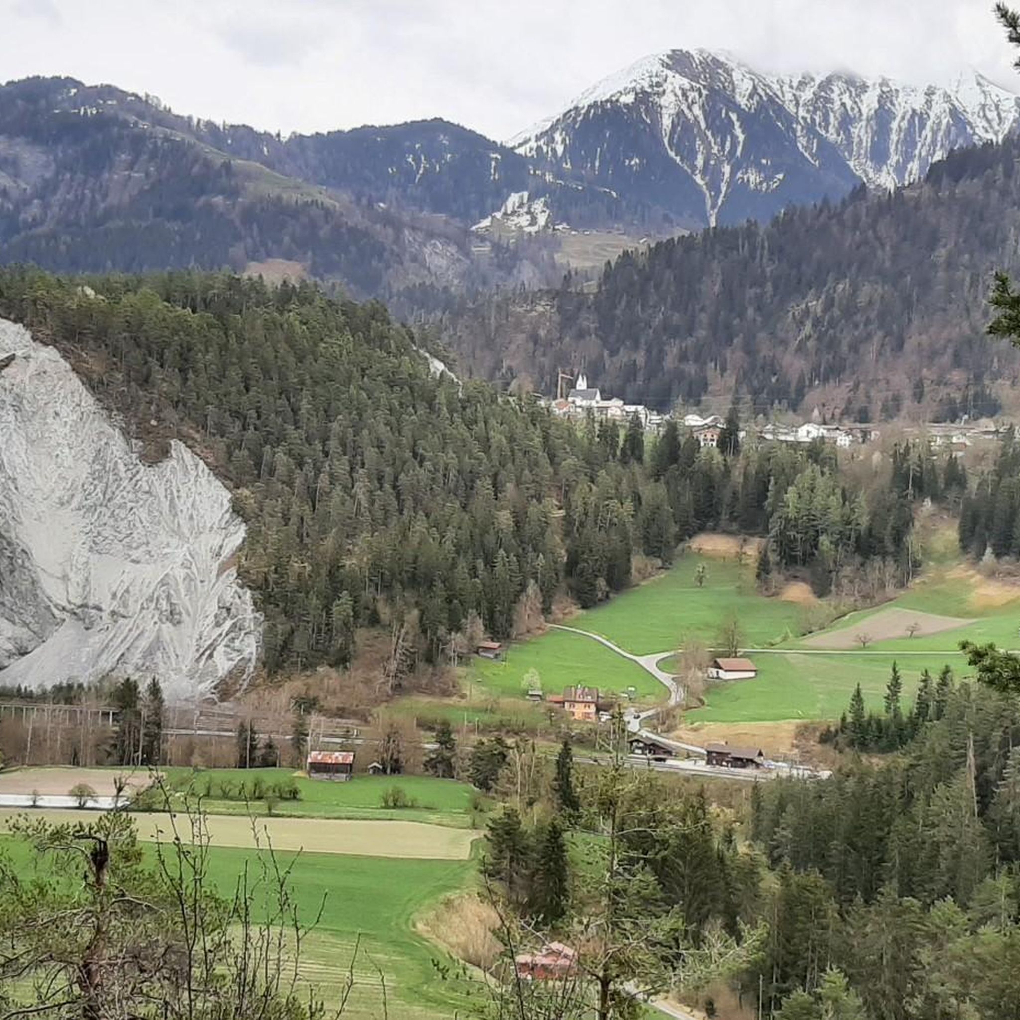
Ruinaulta Rhine Gorge The Ruinaulta, or Rhine Gorge, is a gorge of the Vorderrhein River, up to 400 meters deep and approximately 13 kilometers long, between Ilanz and the mouth of the Hinterrhein River near Reichenau in the canton of Graubünden in Switzerland. The Romansh name 'Ruinaulta' is composed of the two words ruina (scree slope, quarry) and aulta (high). The Ruinaulta was formed after the Flims Landslide almost 10,000 years ago. At that time, over 10 billion cubic meters of rock broke off between the Flimserstein and Piz Grisch, burying the Vorderrhein Valley between the present-day villages of Castrisch and Reichenau under a mass of debris several hundred meters thick. Because the Vorderrhein River could no longer drain away, a lake was dammed over a length of approximately 25 kilometers. Over time, the river cut deep into the landslide, and the resulting lake drained away completely. What remained was the Ruinaulta, with its steep limestone scree cliffs in impressive erosion formations. Text / Source: Wikipedia https://de.wikipedia.org/wiki/Ruinaulta
16
0
シュロス・ライヘナウ ヒンターライン川とフォルダーライン川の合流地点、アルペンライン川の誕生の地に、歴史的な場所ライヘナウがあります。ライヘナウは以前から大きな重要性を持っていました。14世紀、グラウビュンデンアルプス峠を越える長距離交通が著しく増加した際、2つの橋と税関が建設されました。ライヘナウは交通の結節点と見なされ、すべての交通をここで管理することができました。ライヘナウでは、北南軸の道が分かれます。フォルダーライン川沿いにオーバーラント方面へ、ルクマンヤーとオーバーアルプ峠へ向かう道、そしてヒンターライン川沿いにドムレシュクを通ってシュプルゲンとサン・ベルナルディーノへ向かう道です。 テキスト / 出典: Weinbau von Tscharner & Events Schloss Reichenau, Schloss Reichenau, Reichenauerstr. 59, 7015 Reichenau https://www.reichenau.ch/de/reichenau/geschichte-lage
15
0
ヒンターライン川とフォルダーライン川の合流点、アルペンライン川の生誕地には、ライヒェナウ城があります。17世紀に司教の家臣であったシャウエンシュタイン家によって建てられたこの城は、長い歴史を誇ります。かつてはフランス最後の王もここに住んでいました。
15
0
Confluence of the Vorderrhein and Hinterrhein, Reichenau Dominated by Reichenau Castle, the hamlet lies at the confluence of the Vorderrhein and Hinterrhein rivers, making it virtually the birthplace of the Rhine. It all began 10,000 years ago. Between the Flimserstein (a high plateau) and Piz Grisch, over 10,000 cubic meters of rock broke off and thundered down into the valley. Towards Reichenau, the Vorderrhein valley disappears under a gigantic mass of rubble. From there, the Rhine diligently ate its way through the rock, creating the spectacular Swiss "Grand Canyon" – the Ruinaulta. Text / Source: myswitzerland.com https://www.myswitzerland.com/de-ch/erlebnisse/route/vom-zusammenfluss-der-rheine-in-die-rheinschlucht/
16
0
とても美味しいケーキです!素晴らしいサービス!カード払い可能!向かいにEバイク充電設備あり
0
0


他の地域の最高のロードサイクリングルートを見てみましょう。