トラモンティディソプラの山小屋&キャビン・トップ20
アウトドアで過ごす一日のハイライトはなんといっても山小屋です。次の冒険での山小屋選びの参考となるよう、トラモンティディソプラの素晴らしい山小屋・キャビンをまとめました。以下の一覧から理想の山小屋・キャビンを見つけて、スムーズに次の冒険を計画しましょう。
最終更新日: 8月 31, 2026
リフージョ・フライバン・パケリーニ
ハイライト • 山小屋
翻訳者 Google •
役立つ情報 は

リフージョ・プラドゥート
ハイライト • 山小屋
翻訳者 Google •
役立つ情報 は

今すぐサインアップして、こんな場所を発見しよう
最高のシングルトラック、ピーク、その他のエキサイティングなアウトドアスポットのおすすめを受け取ろう。
無料新規登録
Bivacco Tamar
ハイライト • 山小屋
翻訳者 Google •
役立つ情報 は

カセーラ・カサヴェント
ハイライト • 山小屋
翻訳者 Google •
役立つ情報 は

カセーラ・プラマッジョーレ
ハイライト • 山小屋
翻訳者 Google •
役立つ情報 は
無料でサインアップして、さらに多くの小屋やキャビンを発見しましょう トラモンティディソプラでの。
無料新規登録
すでにアカウントをお持ちですか?
無料アカウントで今日から始めよう
次の冒険が待っています。
ログインまたは登録
コミュニティからのヒント

Komootのハイライトに最適な説明はこちらです: --- **Bivacco Tamar**は、手つかずの自然に囲まれた、混雑した場所から離れた山の体験を求める人に最適な、ワイルドで本格的な環境に佇む小さな宝石です。施設はシンプルですが居心地が良く、より困難なハイキングやトレッキングの拠点として理想的です。 そのロケーションは本当に印象的です。手つかずの自然に囲まれ、完全な静けさと、そこへ到達するために費やしたあらゆる努力に見合う景色を提供します。写真撮影のスポットとしても最適で、特に早朝や夕暮れ時には素晴らしいです。 冒険、静寂、そして本物の山との直接的な触れ合いを愛する人々に推奨します。
0
0

Excellent refuge, in a strategic position for the Friulian Dolomites ring route.
0
0


Pramaggiore Bivouac Hut, 1,812 meters. The usual ascent route to the hut is CAI trail 366, which starts from the Settimana Valley. The trail climbs steeply in switchbacks, skirting the Col de Post, descends to ford the Ciol de Pess stream, and then steeply climbs the wooded slope until it emerges beneath the meadows of the plateau where the hut is located. Just before the hut, on the right, a small pulpit holds a stainless steel statue of the Madonna, commemorating all the young people from the parishes of Azzano Decimo and Pramaggiore who have passed away.
0
0
Casera Pramaggiore, an excellent base in a very panoramic position, managed by the CAI section of San Vito al Tagliamento.
0
1

The Rifugio Pradut, at 1,450 m, is open all year round depending on weather conditions, offers typical local cuisine and overnight accommodation for hikers. Excellent starting point for ascents to Cimon del Pradut. For up-to-date information: https://www.facebook.com/angelograva.pradut/
2
0
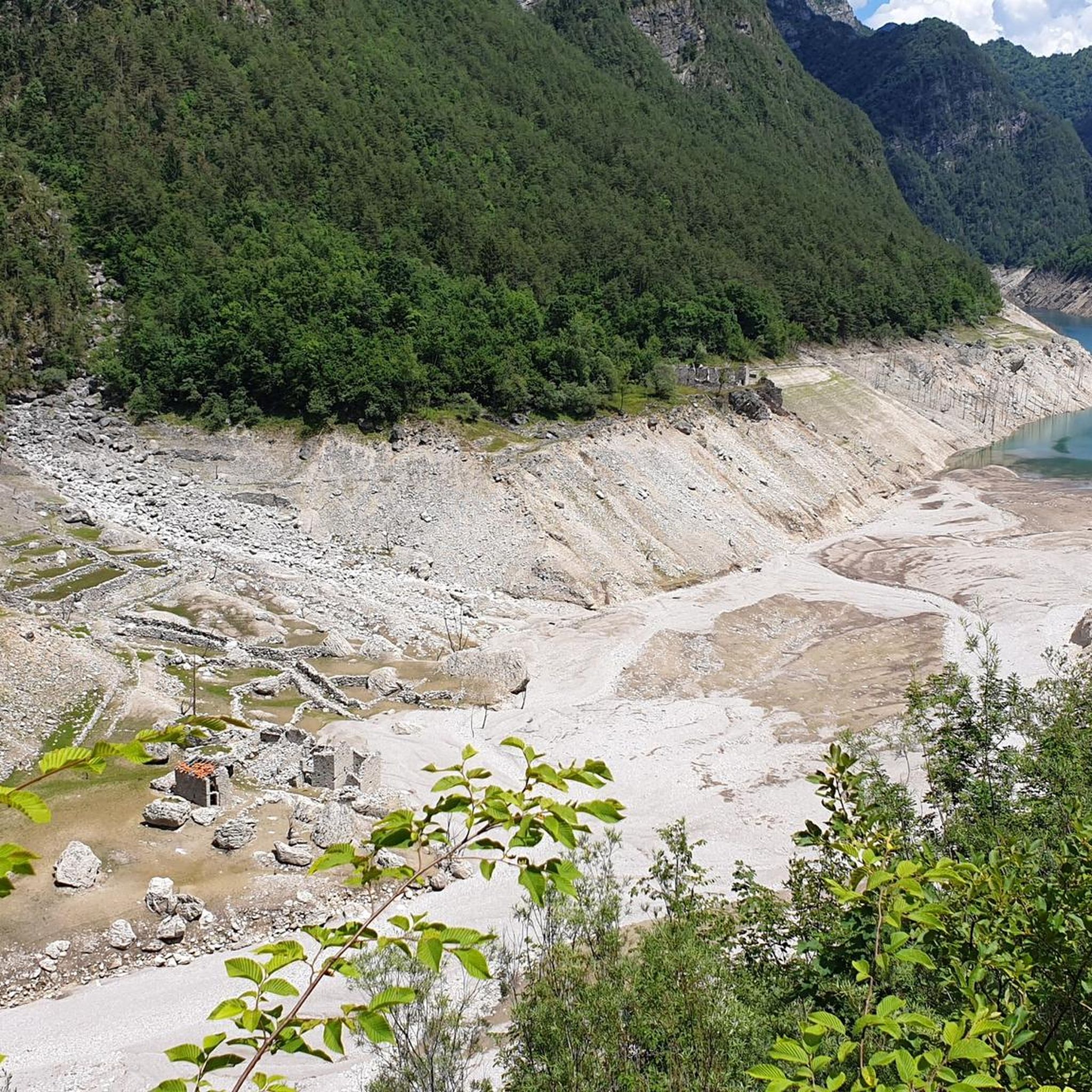
The Varnerin bivouac is a beautiful and very welcoming bivouac, obtained from one of the ancient buildings of the Tamar village. It is managed by the CAI section of San Vito al Tagliamento. It consists of two rooms, one on the ground floor, with a table and stove and one on the upper floor used as a sleeping area, with 6 beds with mattresses.
0
0
The summit of Mount Pramaggiore, 2478 m, can be reached via CAI path 366 up to Forcella Pramaggiore, and then via a trail with red markings on inclined slabs and a trail with unstable gravel, along the normal route up to the crest and to the summit, with first and second grade passages.
1
0

komootモバイルアプリでインスピレーションを得よう


さらに探索
これらの近くの場所で最高の小屋やキャビンを見つけましょうトラモンティディソプラでの:
