ヴィラサンティーナの絶景の山頂・トップ20
絶景を目指して登るのであれ、達成感のために登るのであれ、山頂を訪れることで、ヴィラサンティーナの美しい自然をもっと満喫することができます。20
もの選択肢の中から、制覇する山頂を決めるのは簡単ではありません。スムーズに次の冒険で目指す山頂を選べるように、ヴィラサンティーナの素晴らしい山頂をこのガイドにまとめました。
最終更新日: 8月 31, 2026
オヴァーロからのモンテ・ゾンコランの登り
ハイライト (セグメント) • 登山
The superlative of mountain roads leads up Monte Zoncolan. This ski mountain in the Carnic Alps has been the toughest climb in the Giro several times. …
翻訳者 Google •
役立つ情報 は

モンテ・ゾンコラン峠道
ハイライト • 山道
翻訳者 Google •
役立つ情報 は

今すぐサインアップして、こんな場所を発見しよう
最高のシングルトラック、ピーク、その他のエキサイティングなアウトドアスポットのおすすめを受け取ろう。
無料新規登録
タマイ山
ハイライト • 山頂
翻訳者 Google •
役立つ情報 は

セッラ・キアンツータン峠と彫刻公園
ハイライト • 山道
翻訳者 Google •
役立つ情報 は





コミュニティからのヒント


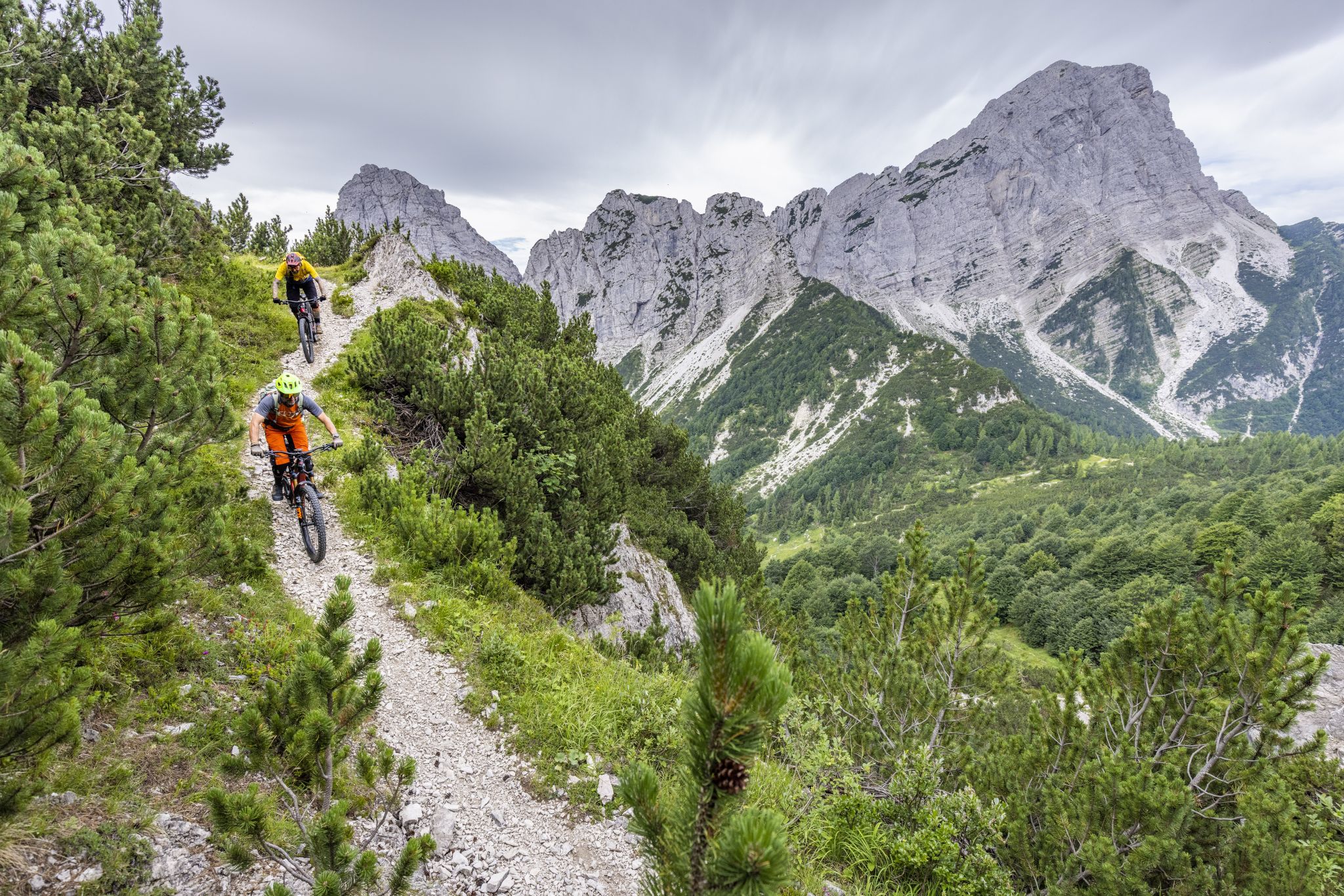
Komootに示されている方向で歩くのが一番です。登りの部分はまず最初に歩くのが良いでしょう。なぜなら、その道は非常に狭く、下るのはずっと難しいからです。 リフーギオ・タマイはとても素晴らしく、しばらく滞在するのに良い場所です。素晴らしい景色、子供たちのための自然の遊び場、牧草地のラマとロバ、山々を見下ろす大きなブランコ、美味しいコーヒーなどがあります。
0
0

In addition to its role as a cycling arena, Monte Zoncolan is a multi-purpose tourist destination. In winter, you can enjoy downhill runs of varying difficulty (ranging from blue to black). The Zoncolan Ski Area offers a variety of challenging trails (both fast technical sections and steep walls), making it ideal for slalom and giant slalom training. The location in Friuli-Venezia Giulia offers good snow conditions, but also a relatively quiet base – fewer tourists than in the Dolomites. Modern infrastructure (the Ravascletto–Zoncolan gondola and artificial snowmaking system) allows for regular training even in inclement weather. If you visit Ravascletto in winter, it's not unusual to see sections of the trails marked "chiuso per allenamento" (closed for training) – a sign that national teams or clubs are training there. In summer, you can enjoy a network of trails of varying difficulty—from family walks to challenging mountain treks. The areas are well-marked and have infrastructure (huts, rifuges, viewpoints).
0
0

Beautiful peak rediscovered not many years ago, applause to those who reopened and maintain the paths!
2
1

The hardest hill in Europe, a title that may not correspond to the absolute truth, but which was not assigned by chance; probably the hardest climb ever faced by the Great Cycling. If you want to face this climb I think you know what you are getting into... I can only wish you good luck and assure you that the satisfaction it gives is unique
5
0

Sella Chianzutan is a pass in the Carnic Prealps at around 950 meters above sea level. It can be reached from both San Francesco and Tolmezzo: the latter is the toughest side, although the gradients rarely exceed 10%. Between 2010 and 2020, it was tackled three times by the Giro d'Italia: the first to pass through here were Ludovic Turpin, Sebastian Henao and Giovanni Visconti.
0
0

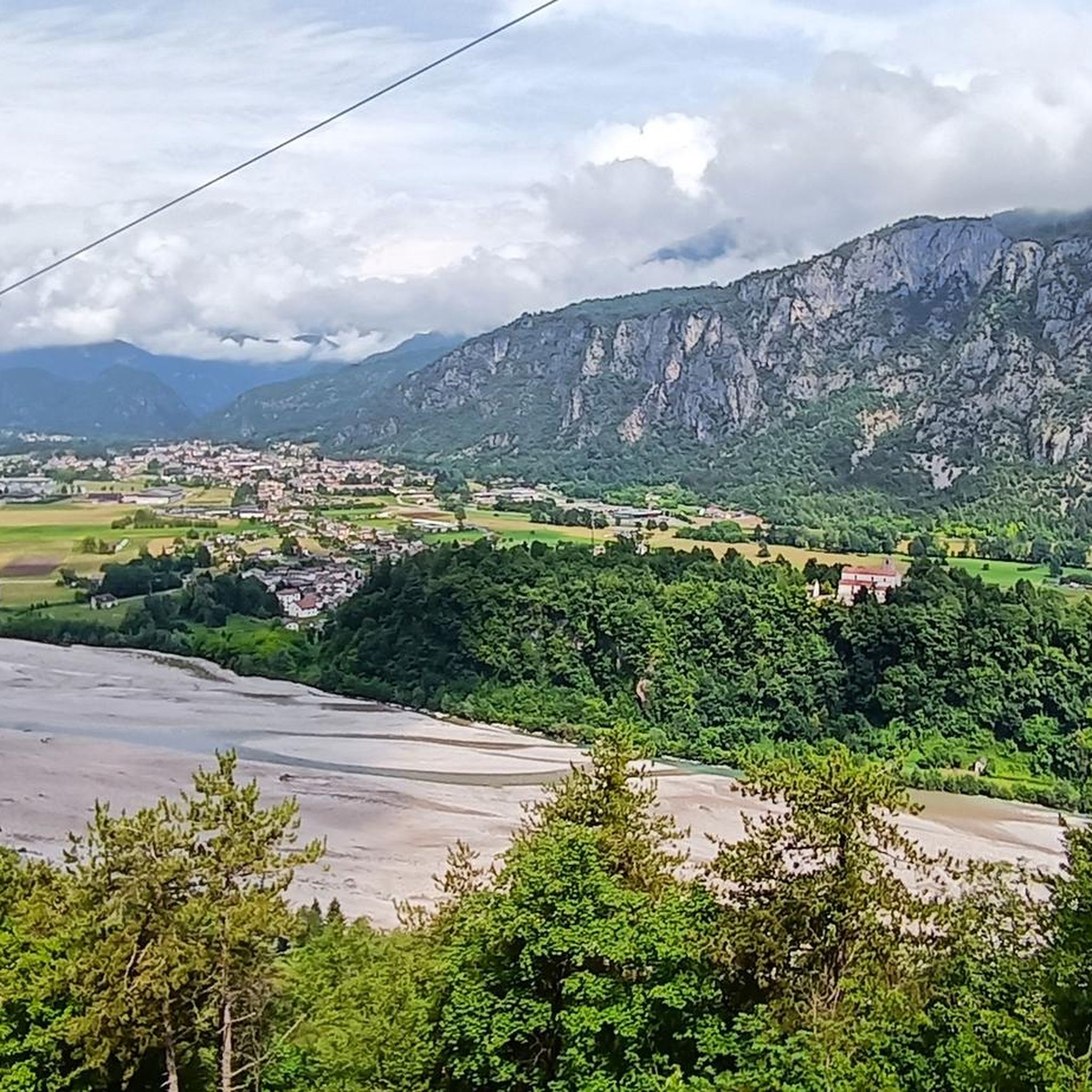
Never too steep or busy the Sella Chianzutan rewards cyclists with a nice view at the top. Most of the climb coming from Tolmezzo is spent in the forest, which means few views on the surrounding mountains but also cooling shade. The descent towards Pozzis (and further to San Francesco) allows for incredible speeds!
0
0

A beautiful route, little traffic.
0
1
ヴィラサンティーナでのの人気観光スポット

komootモバイルアプリでインスピレーションを得よう


さらに探索
これらのガイドでさらに素晴らしい頂上を見てみましょうヴィラサンティーナでの:
