ペタッチャートのおすすめツーリングルート
4.4
(140)
1,055
ライダー
73
ライド
ペタッチャート周辺でのおすすめのサイクリングルートを参考にして、このエリアを最大限に楽しみましょう。ここでご紹介するのは、ペタッチャート周辺の人気バイクライドです。ぜひ、自分に合ったルートを見つけてください。
最終更新日: 10月 22, 2026
3.7
(3)
20
ライダー
30.3km
01:57
60m
60m
初級者向けバイクライド. ほとんどが舗装路です。
4.3
(3)
18
ライダー
中程度の自転車ライド. ある程度のフィットネスレベルが必要です。 ほとんどが舗装路です。

5.0
(1)
20
ライダー
中程度の自転車ライド. ある程度のフィットネスレベルが必要です。 ほとんどが舗装路です。
3.0
(1)
7
ライダー
36.9km
02:25
490m
490m
難しい自転車ライド. 標準以上のフィットネスレベルが必要です。 ほとんどが舗装路です。
6
ライダー
38.7km
02:35
580m
580m
難しい自転車ライド. 標準以上のフィットネスレベルが必要です。 ほとんどが舗装路です。
さらに多くのルートや他のユーザーのおすすめ情報を確認できます。
すでにアカウントをお持ちですか?
おすすめのツアーは他のkomootユーザーが実際に経験した何千ものアクティビティに基づいています。
無料アカウントで今日から始めよう
次の冒険が待っています。
ペタッチャートでのの他の冒険

コミュニティからのヒント


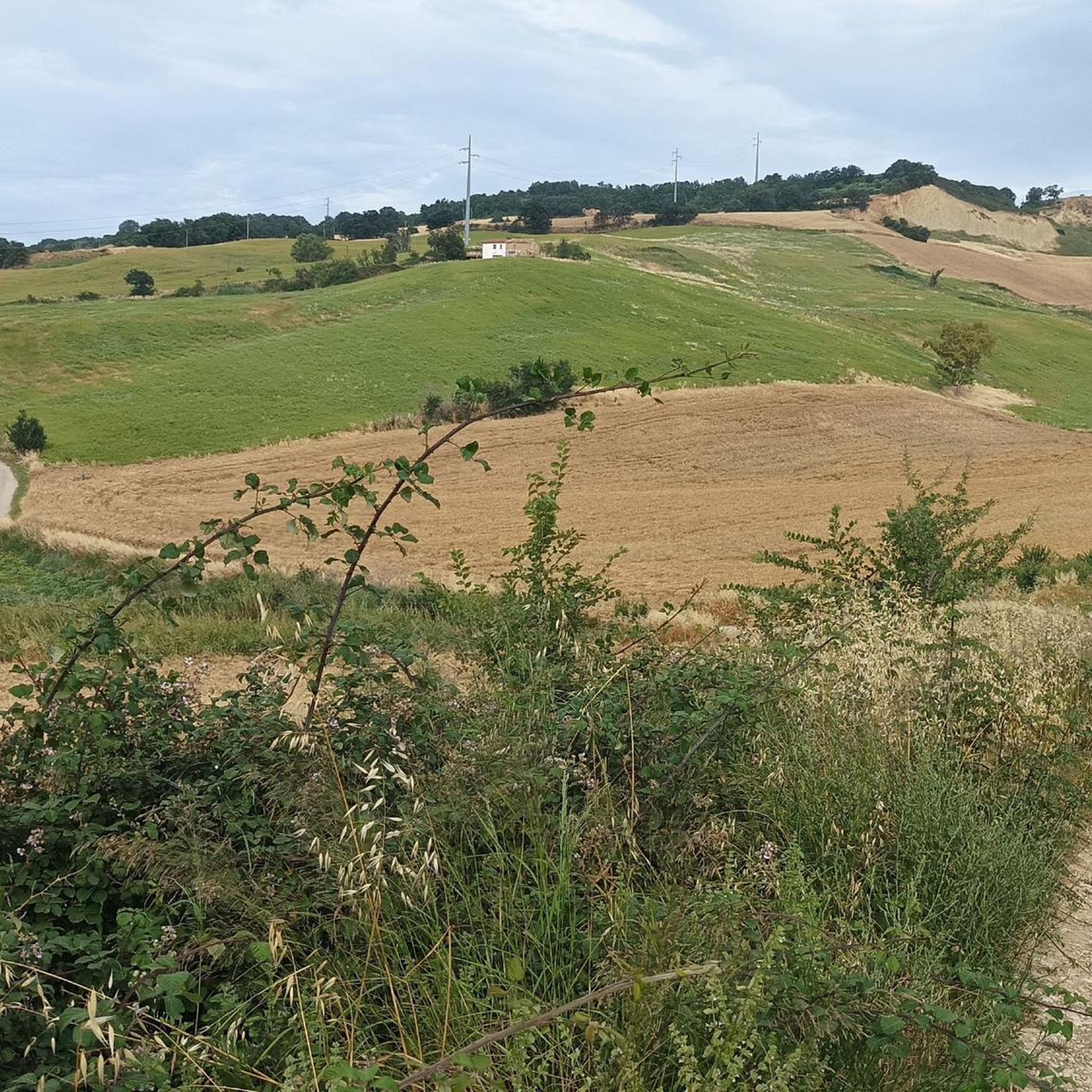
The Montenero di Bisaccia gullies, known locally as lame, are located behind the Sanctuary of the Madonna di Bisaccia. The area is characterized by erosive landforms that extend over approximately 120.8 hectares, creating a surreal landscape of deep valleys dominated by thin, jagged ridges.
0
0

No equipment required. Enjoying the view is a must.
1
0
The route through the hinterland is definitely recommended compared to the Strada Statale along the coast
0
0


Outside the town centre, there is a nice stretch of mixed dirt and light asphalt which, with not too demanding descents and climbs, makes you lose yourself on the Molise hills, worth trying.
0
0
Through the Calanchi of Montenero di Bisaccia
0
0
ペタッチャートでのの人気観光スポット

komootモバイルアプリでインスピレーションを得よう


さらに探索
他の地域の最高のサイクリングルートを見てみましょう。
