ジルドーネのおすすめツーリングルート
4.3
(55)
496
ライダー
76
ライド
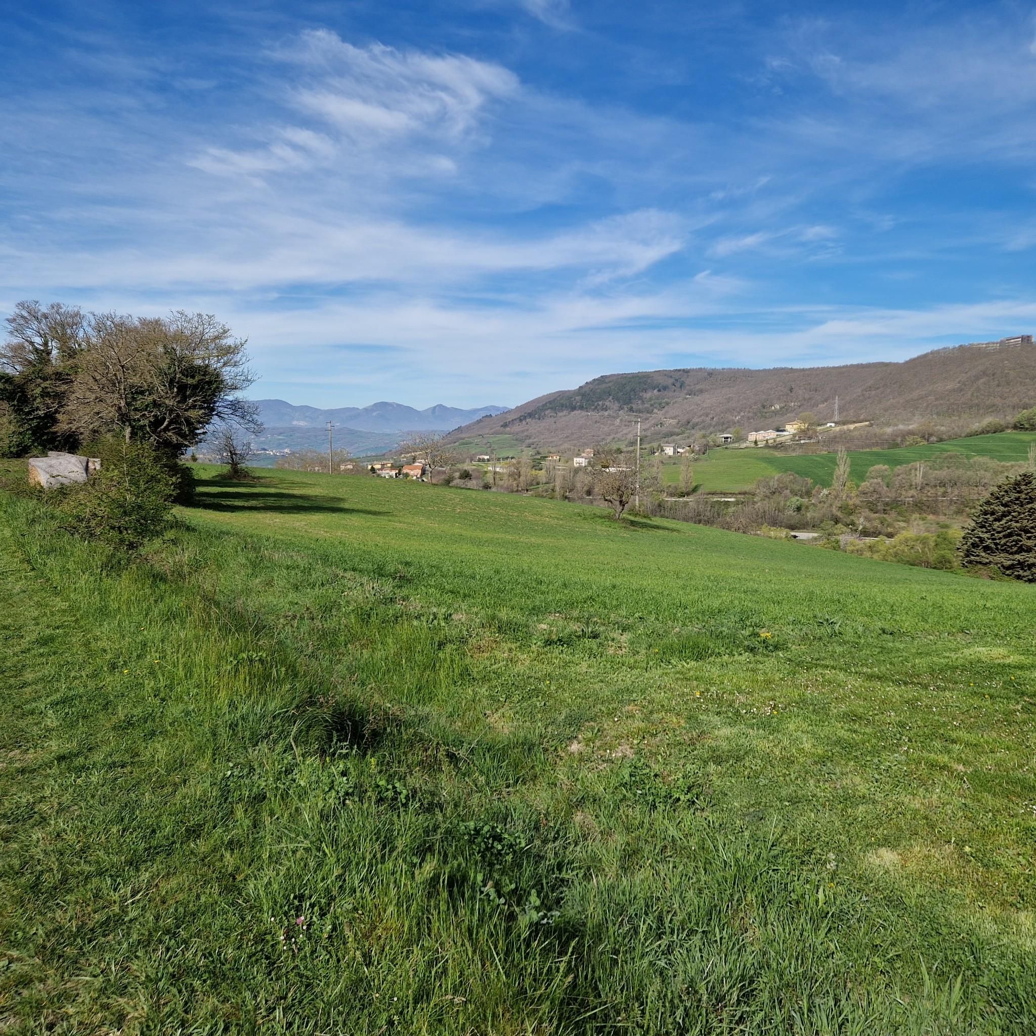
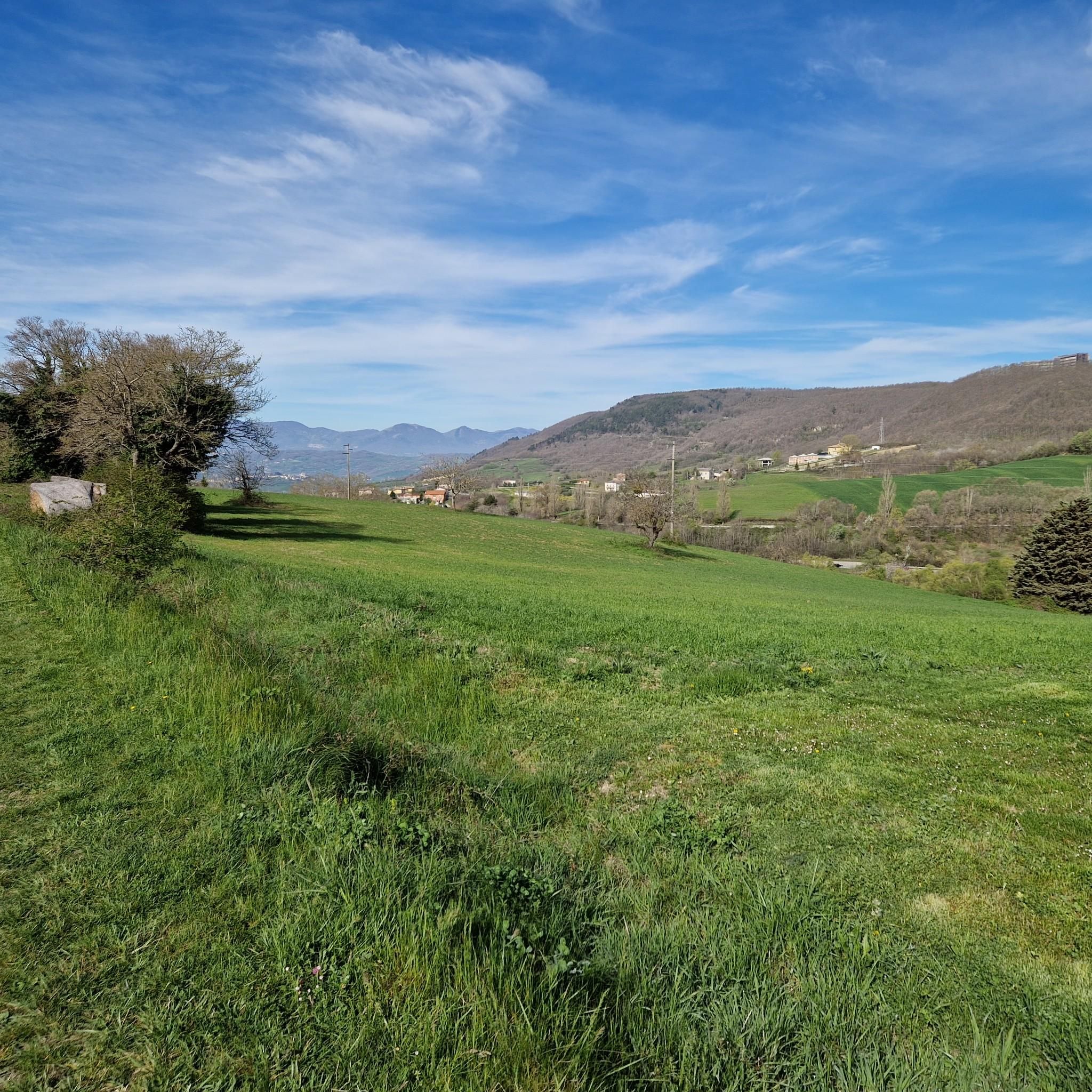
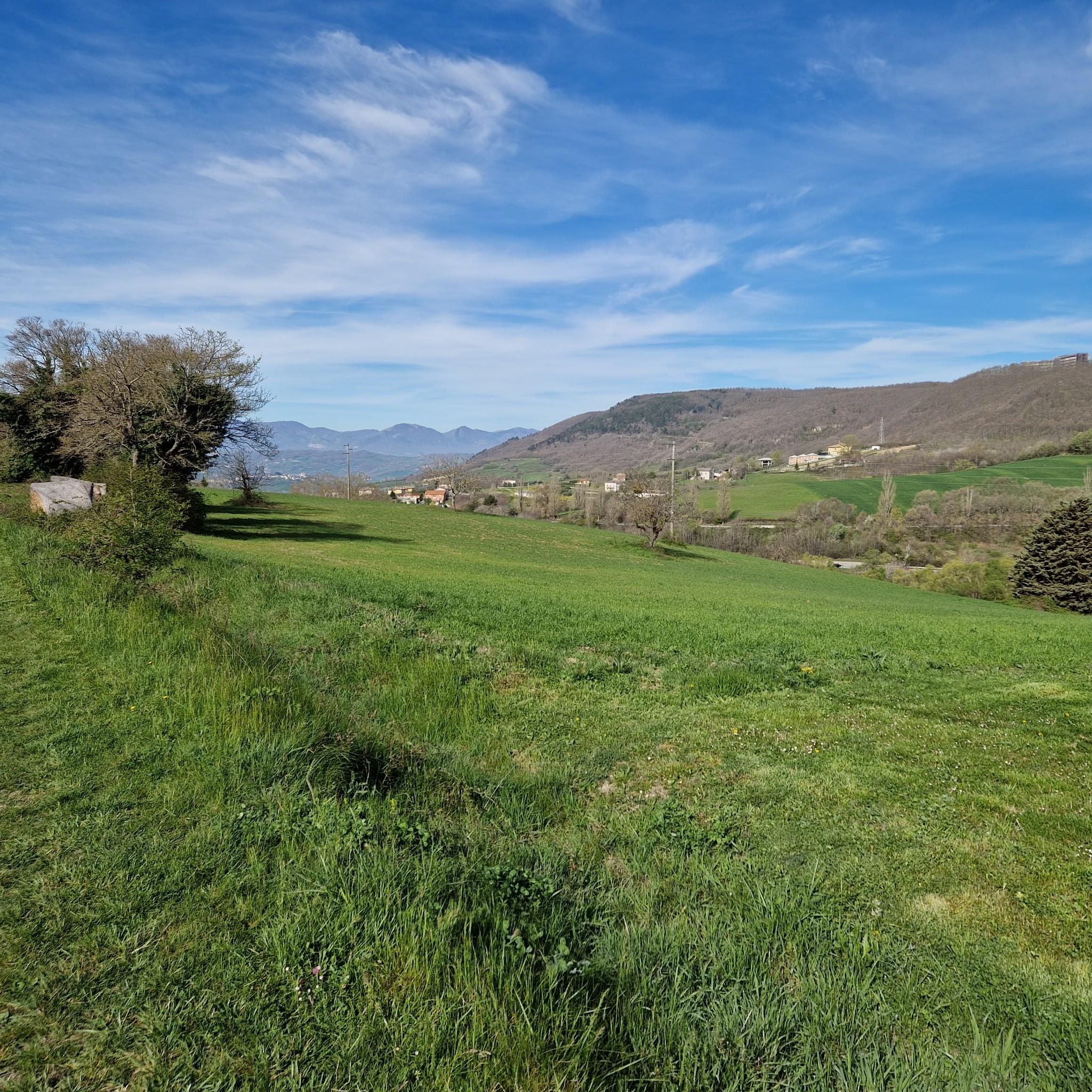
ギルドーネのサイクリングルートは、耕作地、未耕作地、森林が混在するモリーゼ地方特有の丘陵地帯を巡ります。この地形は、開けた農地の景観から、より日陰のある自然な区間へと変化し、サイクリング愛好家に多様な景色を提供します。標高608メートルに位置するギルドーネからは、周囲の田園風景のパノラマビューが楽しめ、オリーブの木や放牧されている羊が田舎の雰囲気を一層引き立てます。この地域の起伏のある丘は、やりがいのある登りや下りがある、魅力的なルートを提供します。
ギルドーネ周辺の最適なサイクリングルート
- 最も人気のあるサイクリングルートは、Gravel along the Tratturo Pescasseroli-Candela – loop from Campobassoです。このルートは距離65.5km(40.7マイル)、所要時間4時間43分です。この難易度の高いルートは、古代のトラットゥーロ(羊の放牧道)の一部を含む、モリーゼ地方の多様な景観を巡る挑戦的なライドを提供します。
- 地元のサイクリストに人気のもう一つのルートは、Riccia and Sentiero Italia Loopです。これは距離28.6km(17.8マイル)の難易度の高いコースです。このやりがいのあるルートからは、モリーゼ地方の広大な景色を望むことができます。
- 地元のサイクリストに愛されているのは、Villa de Capoa Park – Campobasso Historic Center loop from San Micheleです。このルートは距離17.3km(10.7マイル)で、都市部と公園の景観を通り抜け、所要時間は約1時間20分です。
- ギルドーネ周辺のサイクリングは、起伏のある丘、耕作地、森林が特徴で、モリーゼ地方のパノラマビューを楽しめます。このネットワークには、中程度の難易度の周回コースから、より難しく長いルートまで、様々なレベルのオプションが含まれています。
- ギルドーネのルートは、komootコミュニティから高く評価されており、40件以上のレビューで平均4.3つ星を獲得しています。400人以上のサイクリストがkomootを利用して、ギルドーネの多様な地形を探検しています。
最終更新日: 8月 28, 2026
6
ライダー
65.5km
04:43
910m
910m
難しい自転車ライド. 標準以上のフィットネスレベルが必要です。 ツアーの一部に、未舗装のため走行が難しい箇所があるかもしれません。
1
ライダー
28.6km
02:11
510m
510m
Cycle the difficult 17.8-mile Riccia and Sentiero Italia Loop, gaining 1681 feet through Molise's forests and agricultural landscapes.

無料新規登録
4.8
(5)
29
ライダー
37.1km
02:51
760m
760m
難しい自転車ライド. 標準以上のフィットネスレベルが必要です。 全般的に舗装された状態です。あらゆるスキルレベルに適しています。
3.7
(3)
19
ライダー
33.1km
02:12
470m
470m
難しい自転車ライド. 標準以上のフィットネスレベルが必要です。 全般的に舗装された状態です。あらゆるスキルレベルに適しています。
4.7
(3)
18
ライダー
27.4km
02:10
500m
500m
難しい自転車ライド. 標準以上のフィットネスレベルが必要です。 全般的に舗装された状態です。あらゆるスキルレベルに適しています。
さらに多くのルートや他のユーザーのおすすめ情報を確認できます。
無料新規登録
すでにアカウントをお持ちですか?
おすすめのツアーは他のkomootユーザーが実際に経験した何千ものアクティビティに基づいています。
無料アカウントで今日から始めよう
次の冒険が待っています。
ログインまたは登録
コミュニティからのヒント

The Taverna del Cortile is one of the most significant sites in the Molise sheep-track network. Located in the countryside north of Campobasso, it has been a key stop for transhumance for centuries, offering shelter and refreshment to shepherds and their flocks traveling between the Abruzzo highlands and the pastures of Puglia. Built in the 17th century, the tavern was a strategic stopping point, a crossroads between the rural and urban worlds. Here, people ate, prayed, exchanged news, and found solace. Its location at the gates of the city made it a place of transition between pastoral and urban culture. Its importance is linked to the convergence of two sheep tracks: - the Cortile–Centocelle track, which connected the Celano–Foggia sheep track - the Cortile–Matese track, which connected the Castel di Sangro–Lucera sheep track with the Pescasseroli–Candela, passing through Bojano and Sepino This double connection made the Taverna del Cortile a vital hub for transhumance, where flocks, merchants, pilgrims, and travelers met. It was a hub between the major grassy arteries that crisscrossed Molise, and contributed to the economic and cultural development of the area. Today, although no longer active, the tavern retains a strong identity. It is mentioned in cultural walks, hikes, and gravel rides that celebrate the memory of transhumance. Its charm endures in the landscape, in the stories, and in its symbolic function as the gateway to the Molise sheep tracks. by Molise Trail
0
0

The historic center is beautiful and rises up to the Monforte castle.
0
0

Area equipped for camping. It is possible to visit the forest on foot or by mountain bike
0
0
Wonderful view of the Matese, 2 steps from Campobasso
0
0
A point of reference for the city as it is an important junction to reach the hospital and the ring road, the "Madonnella" also represents the beginning of a pleasant route immersed in the woods along the provincial road 53, ideal for admiring the Matese away from the traffic
0
0
Walking along via De Pretis, near the "Il Castello" restaurant, you come across a postcard panorama starring the Monforte Castle overlooking the city
0
0
Small church from the 1100s perfectly preserved in the municipality of Matrice. A jewel surrounded by greenery, it is a pleasure to reach this place to relax and contemplate nature and architecture. The road that leads to the village is hilly and easily passable.
0
0
Campobasso is the capital of the Molise Region, an Apennine town full of greenery where there is no shortage of places to visit. The historic center contains the main tourist attractions, a visit by bike is not very feasible due to the stairways typical of the ancient villages of central Italy, but the distances are very short so it is possible to move around easily on foot. Despite this, among the various places the Monforte Castle stands out, reachable by bike from a completely asphalted climb. Worthy of note are the Sannitico Provincial Museum and the Museum of the Mysteries, the latter preserves throughout the year the "Mysteries" or processional machines, allegorical-religious scenic structures that allow figures to parade and be carried on their shoulders through the streets of city on Corpus Domini Sunday. The city offers fine public fountains where you can stop for a break and then leave again. Leaving the city it is easy to reach other small villages within a few kilometers while enjoying the hilly panorama that connects the various centres.
0
0
よくある質問
ジルドーネ周辺には、どのくらいのサイクリングルートがありますか?
ジルドーネ周辺には70以上のサイクリングルートがあり、様々なスキルレベルや好みに合わせた幅広い選択肢を提供しています。
ジルドーネでのサイクリングに最適な時期はいつですか?
ジルドーネを含むモリーゼ州は、春と秋にサイクリングを楽しむのが最適です。これらの季節は、夏の厳しい暑さや、丘陵地帯の冬の寒さや雪の可能性を避け、快適な気温と美しい風景を提供します。
ジルドーネ周辺のサイクリングルートでは、どのような地形や標高が予想されますか?
ジルドーネは丘陵地帯の農業地域に位置しているため、サイクリストはかなりの標高差を予想する必要があります。ルートは緑豊かな平野、起伏のある丘、耕作地、森林を横断します。一部のルートは舗装された路面を備えていますが、この地域の起伏の多い性質は、中程度から非常に良好な体力レベルに適した挑戦を意味します。
ジルドーネ周辺には、初心者向けの簡単なサイクリングルートはありますか?
はい、簡単なオプションがいくつかあります。例えば、フェラッツァーノからのヴィラ・デ・カポア公園ループは、簡単と評価されており、約9.5kmをカバーするため、この地域でのサイクリング初心者にとって良い選択肢となります。
ジルドーネ地域には、どのような挑戦的なサイクリングルートがありますか?
大きな挑戦を求めるなら、カンポバッソからのグラベル・アロング・ザ・トラットゥーロ・ペスカセーロリ・カンデラ~カンポバッソからのループを検討してください。これは、かなりの標高差を伴う、難易度が高い65.5kmのルートです。もう一つの厳しい選択肢は、広大な景色を提供する、こちらも難易度が高い28.6kmのリッチャとセンティエロ・イタリア・ループです。
ジルドーネの近くに、円形のサイクリングルートはありますか?
この地域には多くのループルートがあります。例えば、サン・ミケーレからのヴィラ・デ・カポア公園~カンポバッソ歴史地区ループは、中程度の難易度で17.3kmの円形ルートです。カンポバッソからのマドンネッラ・ディ・コレ・セラーノ~カンポバッソ歴史地区ループは、より長く難易度の高い円形オプションです。
ジルドーネ周辺のサイクリング中に、どのような史跡やランドマークを見ることができますか?
この地域は歴史が豊かです。魅力的な中世の村々を通り抜けたり、古代サエピヌムの魅力的な考古学遺跡に立ち寄ったりすることができます。近くのカンポバッソでは、モンフォルテ城やカンポバッソ歴史地区のようなランドマークを見ることができますが、後者は階段が多いため徒歩で探索する方が良い場合が多いです。
ジルドーネのサイクリングルート沿いには、良い展望スポットはありますか?
はい、ジルドーネ自体は標高608メートルに位置しており、周囲の田園風景のパノラマビューを提供しています。特に標高が高いルートの多くは、緑豊かな平野、起伏のある丘、耕作地を横断する息をのむような景色を提供し、地元の風景に浸ることができます。
ジルドーネのルートについて、他のサイクリストはどのように評価していますか?
ジルドーネ周辺のサイクリングルートは、komootコミュニティから高く評価されており、40件以上のレビューから平均4.3つ星を獲得しています。サイクリストは、変化に富んだ地形、挑戦的でありながらやりがいのある登り、そしてモリーゼ州が提供する本物の田舎のイタリア体験をしばしば賞賛しています。
サイクリングのためにジルドーネへ行くのに、公共交通機関は利用できますか?
ジルドーネは小さな丘の町ですが、カンポバッソのような大きな中心部へは、地域のバスなどの公共交通機関が接続しています。特に自転車を持ち込む予定がある場合は、定員が限られている可能性があるため、事前に現地のバスの時刻表を確認することをお勧めします。
ジルドーネのサイクリングルート沿いには、カフェやレストランはありますか?
多くのルートは、地元のカフェやレストランが見つかる小さな村や町を通り抜けたり、近くを通ったりします。これらは、典型的なモリーゼ料理を味わい、休憩を取る機会を提供します。サービスが少ない地域もあるため、特に長距離ライドでは、休憩場所を考慮してルートを計画することをお勧めします。
ジルドーネでのの人気観光スポット

komootモバイルアプリでインスピレーションを得よう


さらに探索
他の地域の最高のサイクリングルートを見てみましょう。
