ロンネンベルクのおすすめウォーキング&ハイキングルート
4.5
(1364)
12,120
ハイカー
109
ハイキング
ロンネンベルク 周辺でおすすめのハイキングやウォーキングを楽しんでいただけるように、このエリアの小径やルートを集めたkomootコレクション全体を見直しました。 以下で各ルートの詳細をご覧になり、ロンネンベルク周辺の大自然を満喫する際の参考にしてください。
最終更新日: 10月 12, 2026
4.6
(60)
197
ハイカー
6.70km
01:50
110m
110m
初級者向けハイキング. あらゆるフィットネスレベルに適しています。 進みやすいルートです。あらゆるスキルレベルに適しています。
4.8
(25)
110
ハイカー
6.30km
01:36
10m
10m
初級者向けハイキング. あらゆるフィットネスレベルに適しています。 進みやすいルートです。あらゆるスキルレベルに適しています。

4.7
(46)
162
ハイカー
7.92km
02:01
20m
20m
中程度のハイキング. ある程度のフィットネスレベルが必要です。 進みやすいルートです。あらゆるスキルレベルに適しています。
4.8
(36)
156
ハイカー
6.72km
01:48
80m
80m
初級者向けハイキング. あらゆるフィットネスレベルに適しています。 進みやすいルートです。あらゆるスキルレベルに適しています。
4.7
(15)
87
ハイカー
6.21km
01:47
150m
150m
初級者向けハイキング. あらゆるフィットネスレベルに適しています。 進みやすいルートです。あらゆるスキルレベルに適しています。
さらに多くのルートや他のユーザーのおすすめ情報を確認できます。
すでにアカウントをお持ちですか?
おすすめのツアーは他のkomootユーザーが実際に経験した何千ものアクティビティに基づいています。

コミュニティからのヒント


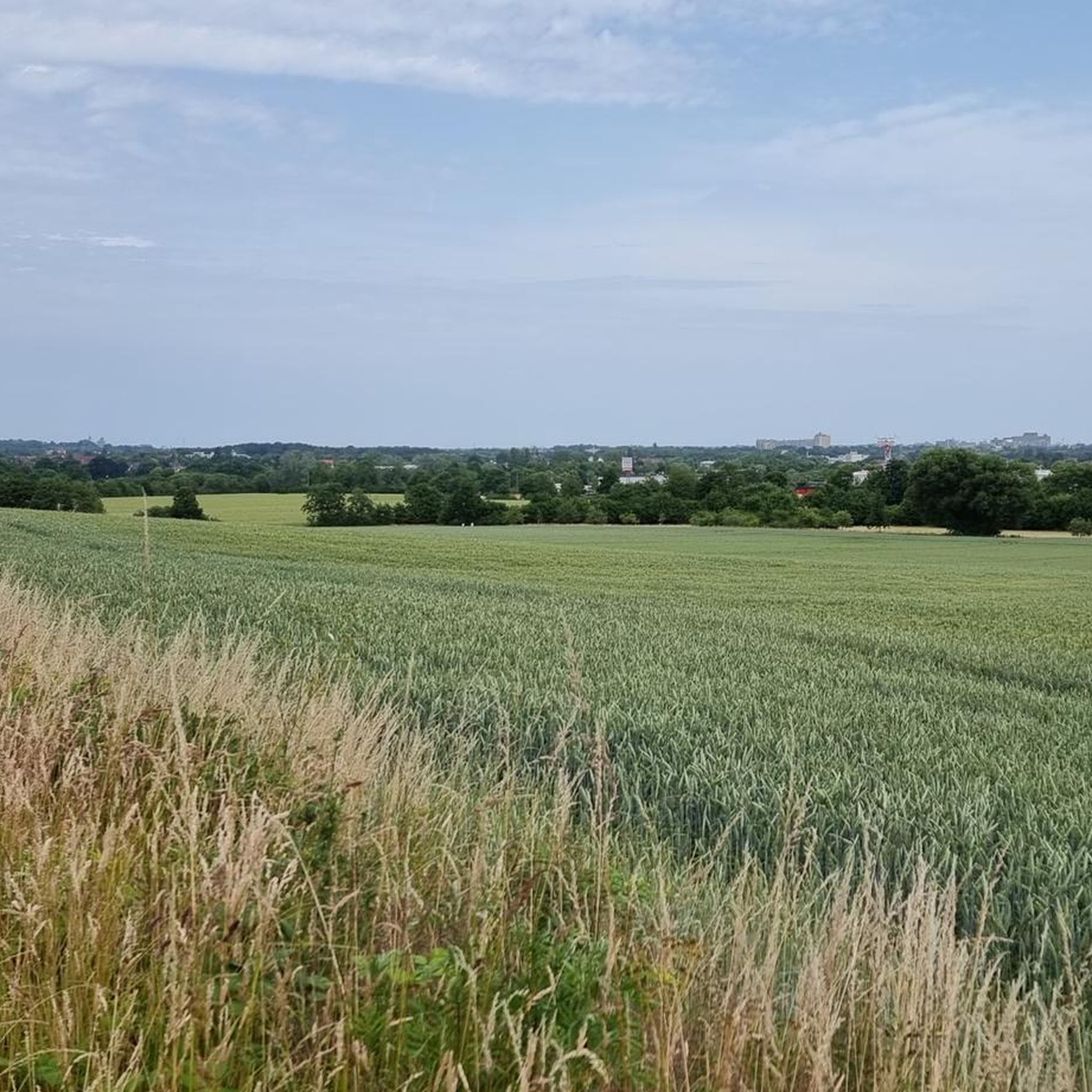
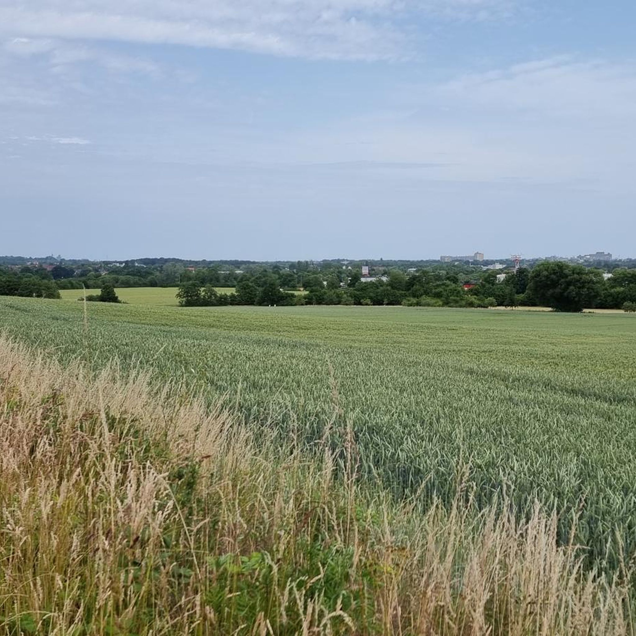
森の端からは、野原や牧草地、そしてノーザン方面への眺めを楽しむことができます。
0
0
1750年築の絵のように美しい木組みの建物である、登録有形文化財のベントーエ城館。 かつては税務署およびヴェルフ家の夏の離宮として利用され、ゲオルク5世王のゲストハウスとしても使用されていました。 現在は個人所有となっています。
0
0
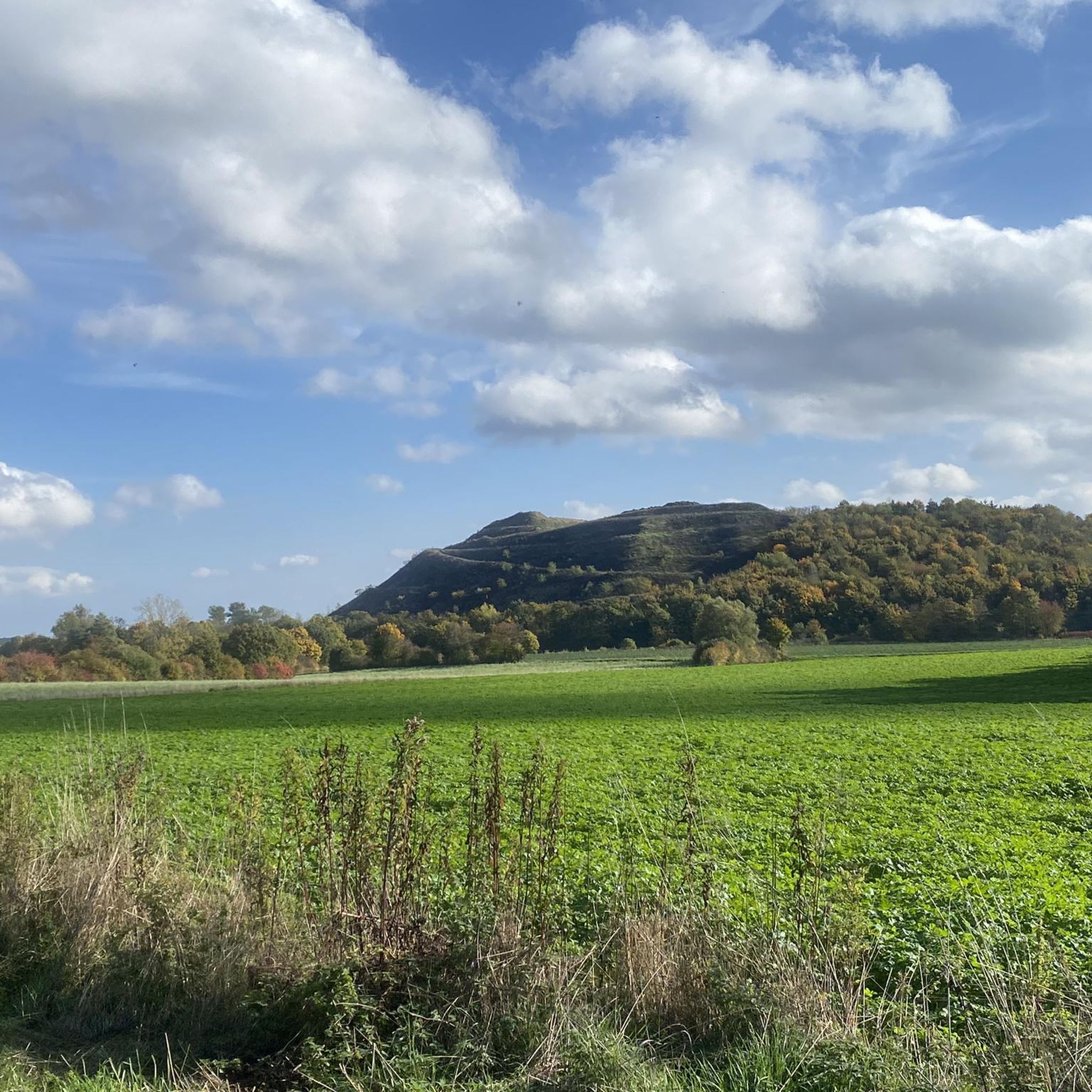
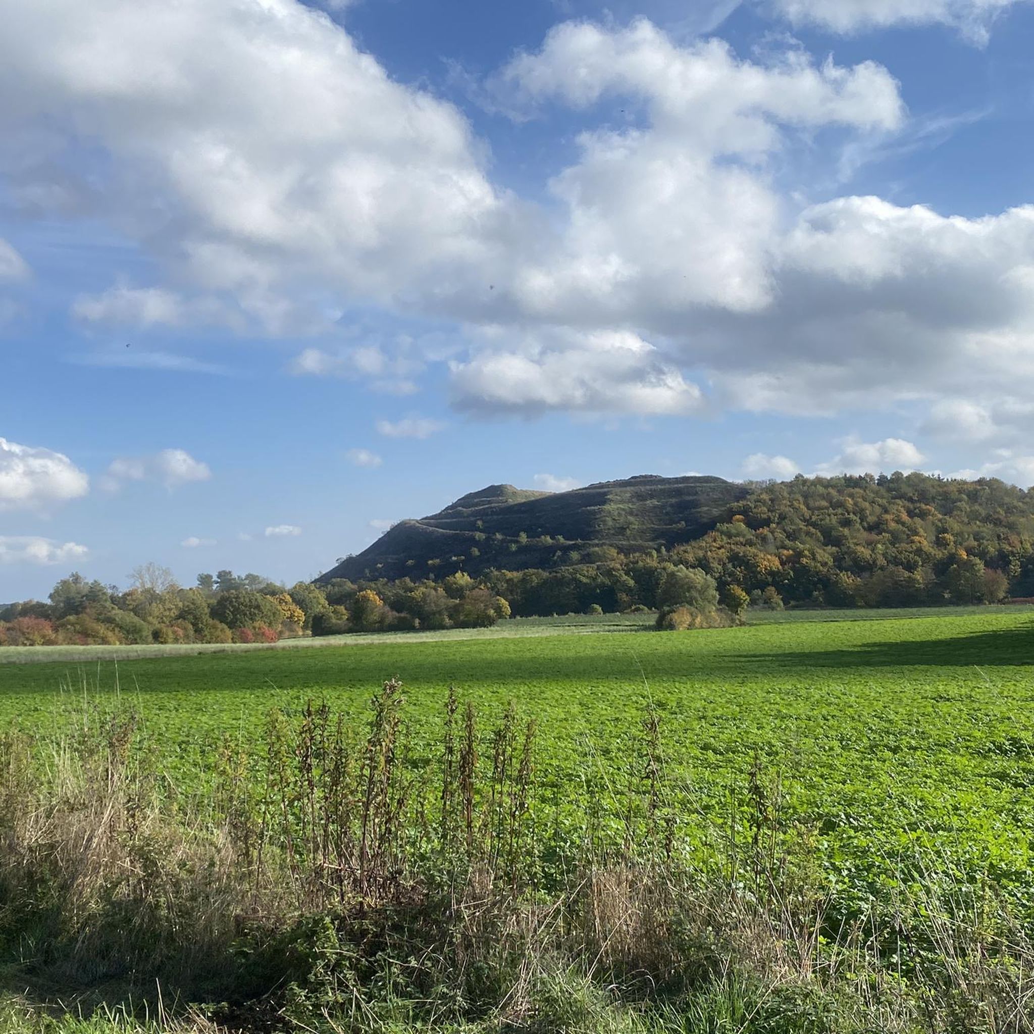
Actually a fossil from the Leine glacial valley
1
0

Manor house from 1750. Location: Am Wallteich 23 in Benthe. The manor house, a former estate that shaped the townscape, was probably used as an official residence, a noble residence, and guest house for the Hanoverian court of the Welfs after its construction. It is one of the oldest and most historically significant surviving buildings in Benthe. More information can be found in the official monument atlas: denkmalatlas.niedersachsen.de/viewer/metadata/31176453/1/-. More about the manor house: de.wikipedia.org/wiki/Herrenhaus_Benthe At the time of the first written records from 1185, Benthe (then called "Bennethe") was under the jurisdiction of the Count of Schaumburg and fell into the hands of the Welfs around the middle of the 14th century. The noble family residing there was the von Benthe family. [...] Source: Hannig, Henner: Monument Topography of the Federal Republic of Germany: Architectural Monuments in Lower Saxony, Volume 13,1, District of Hanover, page 243 (digi.ub.uni-heidelberg.de/diglit/dtbrd_nds_bd13_1/0244/image,info)
1
0
Manor house from 1750. Location: Am Wallteich 23 in Benthe. The manor house, a former estate that shaped the townscape, was probably used as an official residence, a noble residence, and guest house for the Hanoverian court of the Welfs after its construction. It is one of the oldest and most historically significant surviving buildings in Benthe. More information can be found in the official monument atlas: https://denkmalatlas.niedersachsen.de/viewer/metadata/31176453/1/-/. More about the manor house: https://de.wikipedia.org/wiki/Herrenhaus_Benthe At the time of the first written records from 1185, Benthe (then called "Bennethe") was subject to the Count of Schaumburg and fell into the hands of the Welfs around the middle of the 14th century. The noble family residing there was the von Benthe family. [...] Source: Hannig, Henner: Monument Topography of the Federal Republic of Germany: Architectural Monuments in Lower Saxony, Volume 13,1, District of Hanover, page 243 (https://digi.ub.uni-heidelberg.de/diglit/dtbrd_nds_bd13_1/0244/image,info)
0
0
Villa Brabant: The two-story building "Villa Brabant" was built in 1897, at a time when Art Nouveau was at its peak. Location: Wallbrink 7, Benthe, Coordinates: ♁52° 20′ 19″ N, 9° 37′ 31″ E. More about the building in the official monument atlas: https://denkmalatlas.niedersachsen.de/viewer/metadata/31177285/1/-/
0
0

Beautiful walk through the forest
0
0

komootモバイルアプリでインスピレーションを得よう


さらに探索
他の地域の最高のハイキングを見てみましょう。
