ローマのおすすめウォーキング&ハイキングルート
4.4
(12951)
67,600
ハイカー
2,396
ハイキング
ローマでのハイキングに出かけて、ラツィオのこのエリアを探索してみませんか?このガイドでご紹介するのは、komootがローマでのハイキング・ウォーキングルートのコレクション全体を評価して選び抜いた、このエリアの人気ハイキングルートです。あなたに合った でのハイキングを見つけるには、他のユーザーがアップロードした役立つ情報や写真を閲覧し、各ルートに関するみんなの意見やコメントを参考にしましょう。
最終更新日: 8月 31, 2026
4.3
(386)
896
ハイカー
10.0km
02:44
150m
150m
中程度のハイキング. ある程度のフィットネスレベルが必要です。 進みやすいルートです。あらゆるスキルレベルに適しています。
4.6
(270)
652
ハイカー
8.45km
02:37
330m
330m
中程度のハイキング. ある程度のフィットネスレベルが必要です。 進みやすいルートです。あらゆるスキルレベルに適しています。

4.4
(114)
686
ハイカー
23.0km
06:34
450m
560m
難しいハイキング. 標準以上のフィットネスレベルが必要です。 進みやすいルートです。あらゆるスキルレベルに適しています。
4.7
(198)
629
ハイカー
10.3km
03:30
370m
370m
中程度のハイキング. ある程度のフィットネスレベルが必要です。 全般的に進みやすいルートです。安定して歩行できる技術が必要です。
4.6
(241)
832
ハイカー
15.8km
04:33
380m
380m
中程度のハイキング. ある程度のフィットネスレベルが必要です。 全般的に進みやすいルートです。安定して歩行できる技術が必要です。
4.5
(79)
518
ハイカー
19.7km
05:29
260m
400m
難しいハイキング. 標準以上のフィットネスレベルが必要です。 進みやすいルートです。あらゆるスキルレベルに適しています。
4.1
(195)
402
ハイカー
10.5km
03:06
300m
300m
中程度のハイキング. ある程度のフィットネスレベルが必要です。 進みやすいルートです。あらゆるスキルレベルに適しています。
4.5
(171)
557
ハイカー
13.1km
04:23
620m
620m
中程度のハイキング. ある程度のフィットネスレベルが必要です。 進みやすいルートです。あらゆるスキルレベルに適しています。
4.5
(153)
497
ハイカー
12.3km
04:29
630m
630m
中程度のハイキング. ある程度のフィットネスレベルが必要です。 全般的に進みやすいルートです。安定して歩行できる技術が必要です。
4.3
(84)
207
ハイカー
5.47km
01:30
90m
90m
初級者向けハイキング. あらゆるフィットネスレベルに適しています。 進みやすいルートです。あらゆるスキルレベルに適しています。
さらに多くのルートや他のユーザーのおすすめ情報を確認できます。
すでにアカウントをお持ちですか?
おすすめのツアーは他のkomootユーザーが実際に経験した何千ものアクティビティに基づいています。
ローマでのの他の冒険


コミュニティからのヒント

入場は有料で、公開時間があります。入場料は3ユーロで、正確な住所はこちらです。 Via Aurelio Saffi, 96 - 00041 Albano Laziale RM
0
0
この貯水槽は、第2軍団の建築家たちが、野営地と周辺の住居に必要な水の供給を確保するために建設させたものです。10,000立方メートルの飲料水を貯蔵することができました。 しかし、その重要性はこれだけではありません。今日に至るまで完全に機能しており、アルバーノ湖の斜面に位置する水源から水を受け取るローマ時代の水道管によって供給されているのです。
0
0

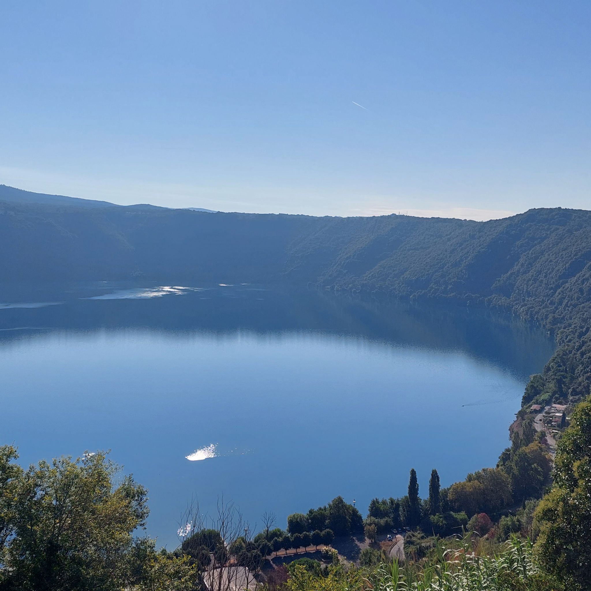
歴史と自然の宝庫 💎 古代「ディアナの鏡」と呼ばれていたネミ湖は、カステッリ・ロマーニ公園全体で最も印象的な立ち寄り地のひとつです。周回コースに最適で、景色の良い寄り道としても利用できます。湖畔への下り道は、青い水を監視する丘の上の村とともに、まるで絵画のような景色を提供します。
0
0

残念ながら、この時期は倒木によりコースが通行不能ですが、できるだけ早く片付けられ、美しいルートになるはずです。
0
0

長い間水が戻ってきました。おそらくここ数ヶ月の雨のおかげでしょう。池にはオタマジャクシも数匹いて、池に放たれました。
0
0
Fontan Tempesta is much more than a simple spring: it is a melting pot of history, geology, and legend located in the heart of the Castelli Romani Park, along the ancient path connecting Genzano, Nemi, and Rocca di Papa. 1. History and Name The name "Tempesta" has ancient roots. Some historians link it to the Tempesta family, local nobles in the Middle Ages. Others, more romantically, maintain that the area is so named for the frequency of intense atmospheric phenomena due to the particular shape of the Nemi volcanic crater, which "attracts" thunderstorms. 2. A Hydrographic Turning Point The spring is located approximately 600 meters above sea level. Geologically, the water that flows here is the result of filtering through the pyroclastic rocks of the Laziale Volcano. The fact that it has returned to flow after years of drought is an important sign of the restoration of surface water tables, often strained by the scarce rainfall of recent years. 3. Crossroads of Pilgrims and Wayfarers Historically, Fontan Tempesta was an obligatory stop for those traveling the Southern Via Francigena or for pilgrims heading to the Temple of Diana in Nemi. Even today, it is a favorite "turning point" for bikers and hikers because it represents the coolest and most sheltered spot in the forest, where the microclimate remains humid even in the height of summer.
0
0

The picturesque town of Tivoli has rightly been declared a UNESCO World Heritage Site. Everywhere you look, you'll find beautiful corners and small alleys bathed in the glorious light of the evening sun.
0
0

Nice spot to make pause and regain energy. Don’t expect water flowing during summer months
0
0

komootモバイルアプリでインスピレーションを得よう


探していたものは見つかりませんでしたか?
ローマの下にある他のハイキングをチェックして、目的地で完璧なルートを見つけましょう。
