リンのおすすめウォーキング&ハイキングルート
4.5
(7791)
64,782
ハイカー
39
ハイキング
リン 周辺でおすすめのハイキングやウォーキングを楽しんでいただけるように、このエリアの小径やルートを集めたkomootコレクション全体を見直しました。 以下で各ルートの詳細をご覧になり、リン周辺の大自然を満喫する際の参考にしてください。
最終更新日: 11月 15, 2026
4.8
(29)
316
ハイカー
5.25km
02:06
410m
410m
中程度のハイキング. ある程度のフィットネスレベルが必要です。 歩きやすい道です。
4.7
(30)
366
ハイカー
7.60km
02:50
510m
510m
中程度のハイキング. ある程度のフィットネスレベルが必要です。 歩きやすい道です。

4.4
(8)
49
ハイカー
7.65km
02:08
130m
130m
中程度のハイキング. ある程度のフィットネスレベルが必要です。 ほとんどが歩ける道です。足元への注意が必要です。
4.6
(9)
54
ハイカー
11.2km
04:19
810m
810m
中程度のハイキング. ある程度のフィットネスレベルが必要です。 ほとんどが歩ける道です。足元への注意が必要です。
5.0
(9)
53
ハイカー
16.1km
05:29
820m
820m
難しいハイキング. 標準以上のフィットネスレベルが必要です。 歩きやすい道です。
さらに多くのルートや他のユーザーのおすすめ情報を確認できます。
すでにアカウントをお持ちですか?
おすすめのツアーは他のkomootユーザーが実際に経験した何千ものアクティビティに基づいています。
無料アカウントで今日から始めよう
次の冒険が待っています。
コミュニティからのヒント


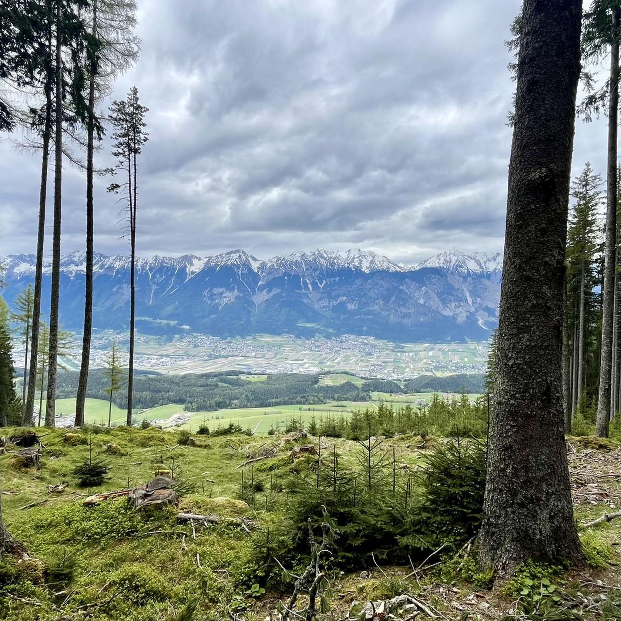
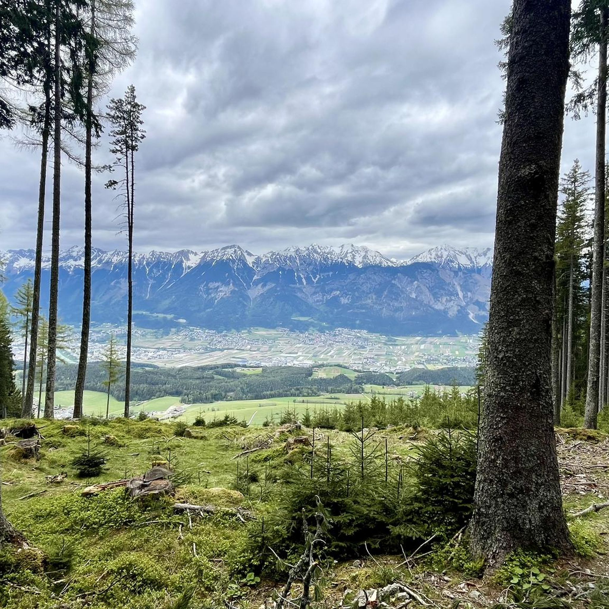
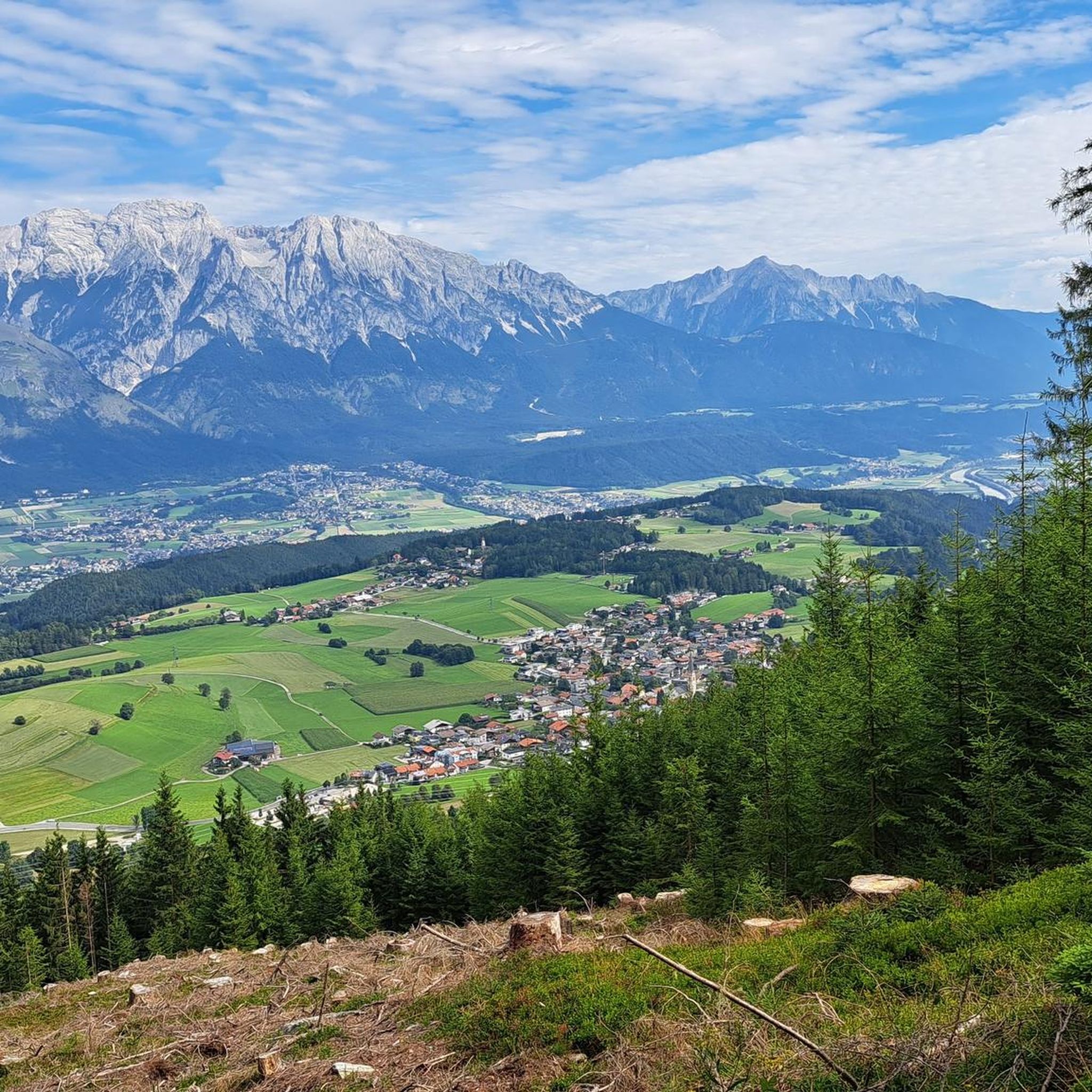
On the short walk between Lanser and Sistranser Alm, you pass this spot. It not only offers a truly beautiful view over the Lower Inn Valley (including Innsbruck) but also showcases the Nordkette in all its glory.
0
0

The nice landlady wasn't lying when she said: "Our pine is the best in the valley and on the mountain!" Treat yourself to a bargain and oil your own engine ;)
0
0

Very friendly and fast staff and a very good kitchen.
1
0

super Alm with very nice landlords. Snacks are only available from 2 p.m. Please plan when hiking if you want to stop here.
1
0


You need to be fit and willing to face climbs in order to land here on your MTB. My little one at 8 years of age had fun, sport and excitement! It was nice.
0
0

nice to look at, can be approached from several sides! Please note that the GPS does not always work in this area, but it is well signposted!
1
0

komootモバイルアプリでインスピレーションを得よう


さらに探索
他の地域の最高のハイキングを見てみましょう。
