ガゾラのおすすめランニングルート
4.4
(72)
3,714
ランナー
229
ランニング
ガッツォーラ周辺のジョギングは、イタリア、エミリア=ロマーニャ州のコッリ・ピアチェンティーニ地域内で多様な地形を提供します。この地域は、しばしばブドウ畑に覆われた起伏のある丘陵地帯と、栗やブナの森を含む広大な森林地帯が特徴です。ランナーは、トレッビア川沿いのアクセスしやすい小道から、丘や谷を越えるかなりの高低差のあるより挑戦的なルートまで、様々な景観を見つけることができます。カステッロ・ディ・モメリアーノやリヴァルタ城のような歴史的な城も、多くのジョギングルートの景色の良い背景となり、文化的な関心と自然の美しさを融合させています。
ガッツォーラ周辺の最高のジョギングルート
- 最も人気のあるジョギングルートは、カステッロ・ディ・モメリアーノからのモメリアーノ城ループで、所要時間1時間5分の5.6マイル(9.0 km)のトレイルです。この中程度の難易度のルートは、歴史的なカステッロ・ディ・モメリアーノを通り抜け、文化的な関心と自然の景観を融合させています。
- 地元のランナーに人気のもう一つのルートは、クロアラの森のMTBトレイル – カステッロ・ディ・リヴァルタからのカステッロ・ディ・リヴァルタループで、中程度の難易度の6.4マイル(10.4 km)のルートです。このルートはクロアラの森を探索し、歴史的なリヴァルタ城を特徴としています。
- 地元のランナーに愛されているのは、ロヴェレート・ランディからのトレッビア川ループで、約51分で完了することが多い、川沿いの谷を抜ける4.4マイル(7.1 km)のトレイルです。
- ガッツォーラ周辺のジョギングは、鬱蒼とした森林、川沿いの谷、そして歴史的なランドマークによって特徴づけられます。このネットワークは、簡単な川沿いの小道から、より要求の厳しい丘陵ルートまで、様々なレベルの能力に対応するオプションを提供します。
- ガッツォーラのルートは、komootコミュニティから高く評価されており、50件以上のレビューから平均4.4つ星のスコアを獲得しています。2600人以上のランナーがkomootを使用して、ガッツォーラの多様な地形を探索しています。
最終更新日: 11月 15, 2026
5.0
(1)
47
ランナー
12.3km
01:27
30m
30m
中程度のジョギング. ある程度のフィットネスレベルが必要です。 ほとんどが舗装路です。
25
ランナー
16.0km
01:47
350m
350m
難しいジョギング. 標準以上のフィットネスレベルが必要です。 ほとんどが舗装路です。

5.0
(1)
32
ランナー
9.05km
01:05
190m
190m
中程度のジョギング. ある程度のフィットネスレベルが必要です。 ほとんどが舗装路です。
20
ランナー
16.5km
02:13
670m
670m
難しいジョギング. 標準以上のフィットネスレベルが必要です。 ほとんどが舗装路です。
20
ランナー
7.40km
00:54
20m
20m
中程度のジョギング. ある程度のフィットネスレベルが必要です。 ほとんどが舗装路です。
さらに多くのルートや他のユーザーのおすすめ情報を確認できます。
すでにアカウントをお持ちですか?
おすすめのツアーは他のkomootユーザーが実際に経験した何千ものアクティビティに基づいています。
無料アカウントで今日から始めよう
次の冒険が待っています。

コミュニティからのヒント

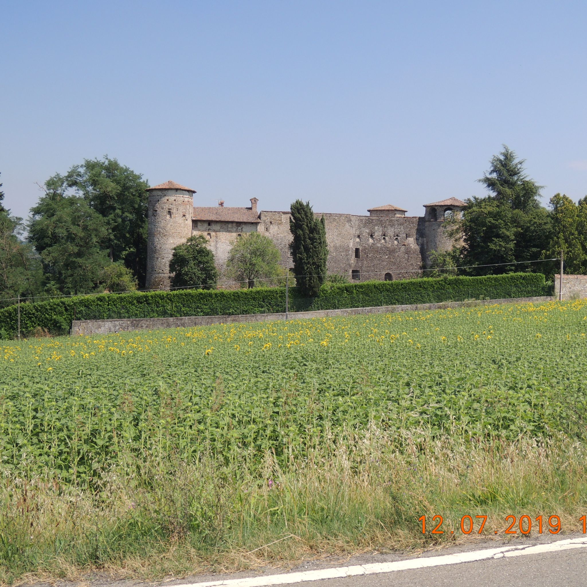
The Castle was first mentioned in a document from 1001. On this occasion, Bishop Sigifredo granted the Benedictine monks of San Savino (Piacenza) some land, including the area of the Castle. The building has a trapezoidal plan and has four circular towers. The first of the four towers dates back to around the year 1000, which only later became four. The Castle was often the scene of clashes and battles. In 1212, the Guelphs of Piacenza took refuge there, threatened by the Ghibellines of Visconti, but they were worsted because they were defeated later in two battles. In the fourteenth century, the Castle was inhabited by Gabriello Boccapiccina, then it passed to the Chiapponi family. When the Chiapponi family died out, in the eighteenth century they were replaced by the Scotti di San Giorgio, who profoundly adapted the building, transforming it into a stately home. At the beginning of the twentieth century, the Castle belonged for a short period to the Lombardi of Genoa; it was then sold to Eng. Giuseppe Manfredi, who had it restored by Prof. Camillo Guidotti. From 1930 to 1987, the building was owned by the Ursuline Mothers of Piacenza. Today, the Castle is used by the current owner as a venue for private events.
0
0

Even if you think the path is over - you can continue along the barrier back to the path (possibly along the wall)
0
0

Pillerone is 601 m high and not 594. and the view extends over nothing because the top is surrounded by woods. I don't know how Martina manages to write this rubbish...🤣
3
0

The mighty castle of Momeliano, made up of three rectangular bodies arranged on a U-shaped plan, is the result of two construction phases. The oldest nucleus dates back to the fourteenth century, the most recent one can be dated between the fifteenth and sixteenth centuries. Over the centuries it underwent several changes of ownership, up to the Stevani family who, at the end of the nineteenth century, put much of the surrounding land under viticulture. The general state of conservation of the castle is good. Worth noting are: traces of the joints of the drawbridge in the building facing south-east; the battlements, now closed in an arch and accessible via a narrow corridor; the remains of the pointed arched windows walled up on the south-east front; the loggia towards the courtyard; two pairs of arches.
0
0
The Castle of Rezzanello appears mentioned for the first time in a document from 1001. On this occasion Bishop Sigifredo granted some land to the Benedictine monks of San Savino, including the Castle area. The castle has a trapezoidal plan with four towers that stand out from the corners and a large internal courtyard. The turrets have a round base, are elegantly slender and crowned by a projection supported by arches and covered by a conical roof. The same type of arches in double order creates a decorative motif in the attic. To adapt it to housing needs, numerous large windows were opened, regularly distributed on all the facades. Located in the center of a valley, it is surrounded by a splendid seven-hectare park with centuries-old plants, a fountain and streams. At the beginning of the twentieth century, the castle was transformed into a stately home. The new owner, Eng. Giuseppe Manfredi entrusted the intervention to the architect Camillo Guidotti who conducted it according to the late-romantic criteria then in vogue, altering the original design.
1
0

Section exempt from drying, after the rain small pools remain on the path!
0
0

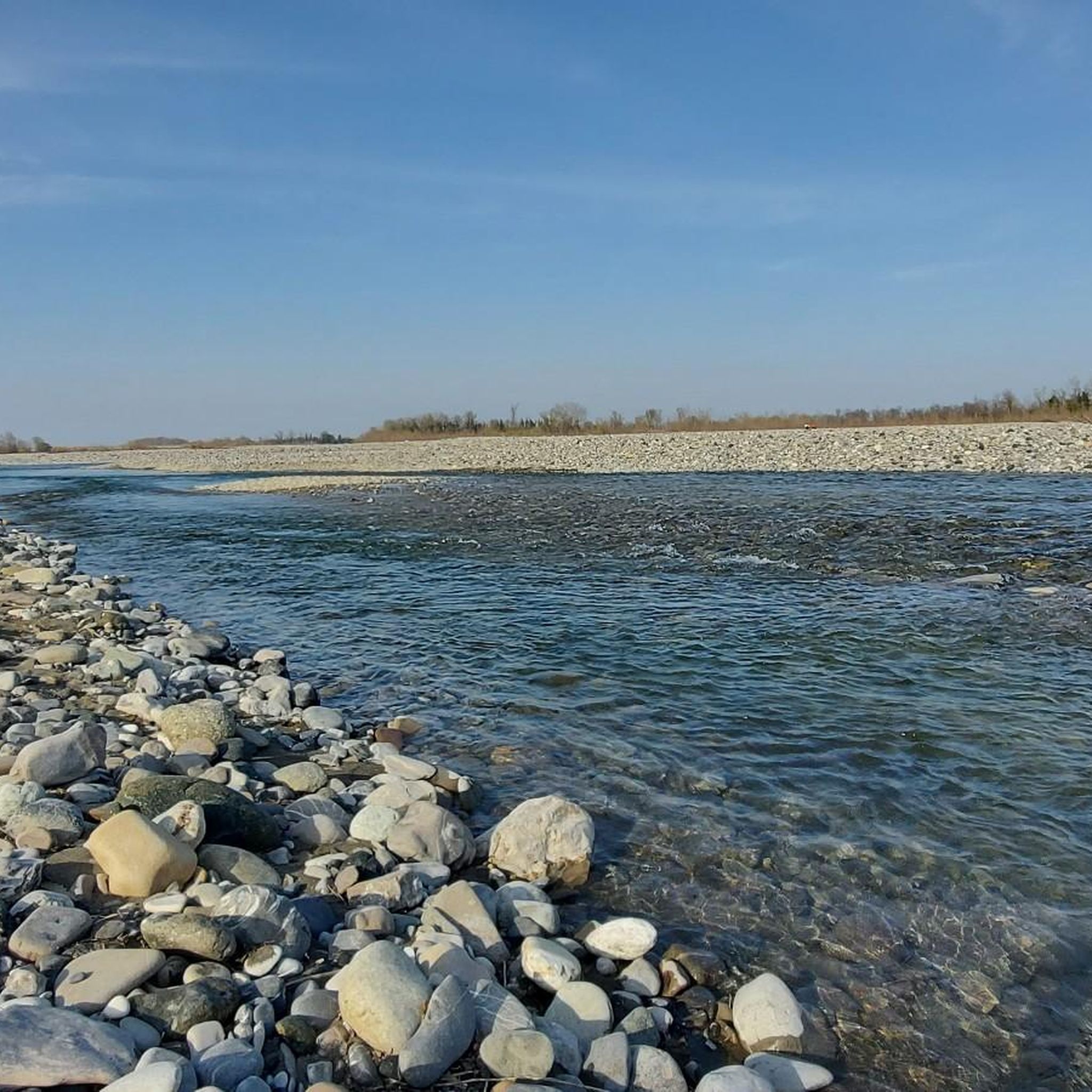
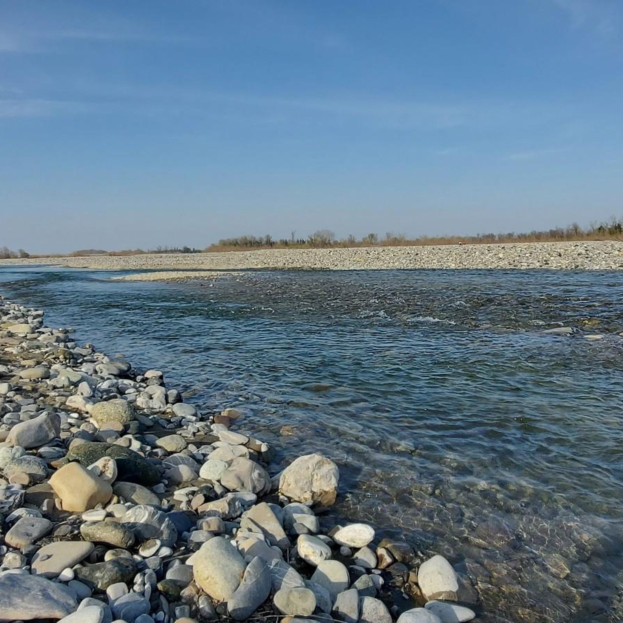
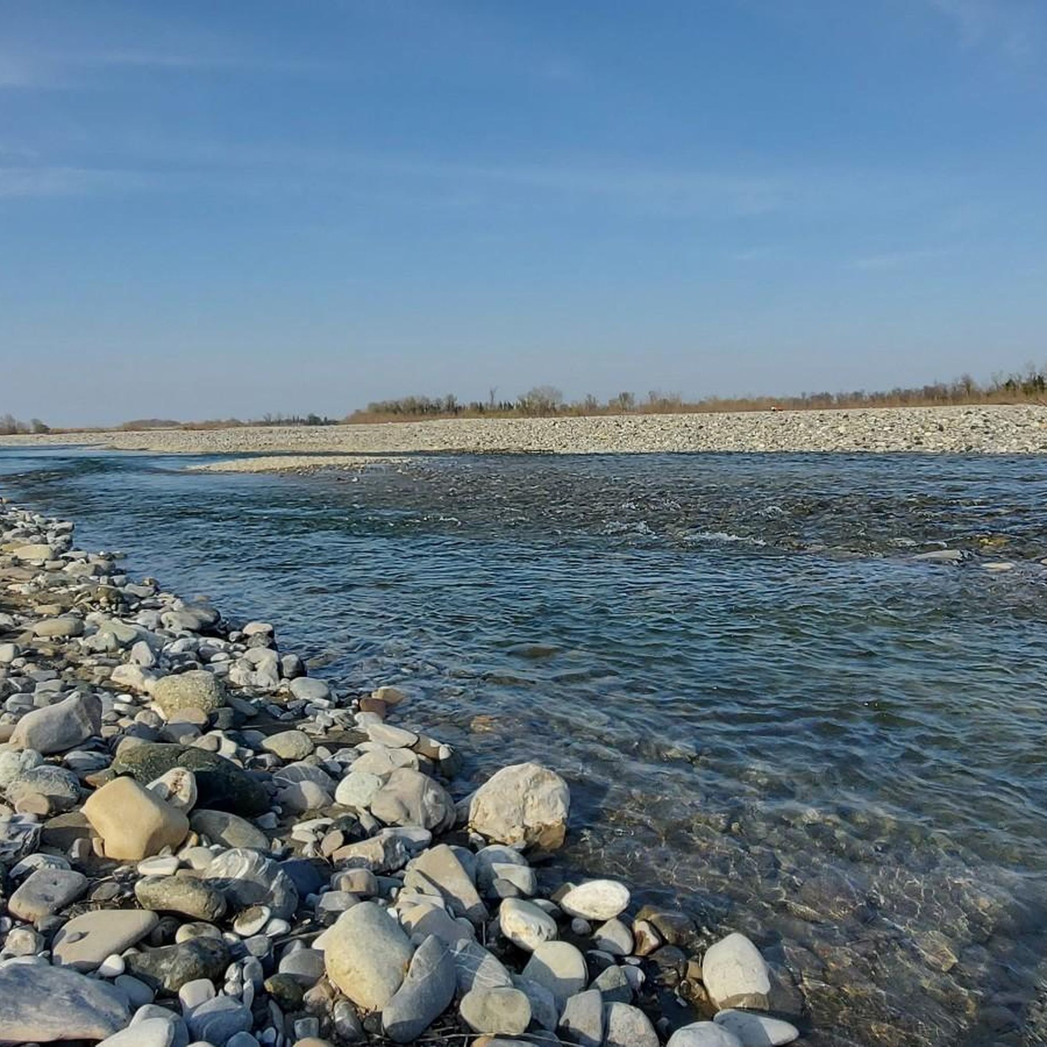
110km long river that originates in the Ligurian Apennines near Genoa. In the Piacenza area it is bordered by a beautiful cycle path that connects Piacenza and Rivergaro
0
0

Very nice and well kept.
14
0

komootモバイルアプリでインスピレーションを得よう


さらに探索
他の地域の最高のランニングトレイル & ルートを見てみましょう。
