ヴィゴルツォンのおすすめウォーキング&ハイキングルート
4.3
(544)
1,980
ハイカー
33
ハイキング
ヴィゴルツォン周辺でのハイキングは、景色を満喫するのに最適な手段のひとつですが、適切なハイキングルートを見つけることは簡単ではありません。 ヴィゴルツォン周辺の人気ハイキング&ウォーキングコースを参考にすれば、行きたいルートをすぐに見つけられます。
最終更新日: 11月 1, 2026
4.7
(20)
42
ハイカー
5.42km
01:39
190m
190m
初級者向けハイキング. 歩きやすい道です。
5.0
(7)
16
ハイカー
11.9km
03:14
160m
160m
中程度のハイキング. ある程度のフィットネスレベルが必要です。 歩きやすい道です。

4.7
(11)
20
ハイカー
5.97km
01:36
70m
70m
初級者向けハイキング. 歩きやすい道です。
5.0
(7)
12
ハイカー
7.94km
02:12
130m
130m
中程度のハイキング. ある程度のフィットネスレベルが必要です。 歩きやすい道です。
4.5
(2)
10
ハイカー
6.84km
02:10
290m
290m
中程度のハイキング. ある程度のフィットネスレベルが必要です。 歩きやすい道です。
さらに多くのルートや他のユーザーのおすすめ情報を確認できます。
すでにアカウントをお持ちですか?
おすすめのツアーは他のkomootユーザーが実際に経験した何千ものアクティビティに基づいています。
無料アカウントで今日から始めよう
次の冒険が待っています。

コミュニティからのヒント

From the Church of Chiulano to Mandrola passing through the woods, skirting Mount Denavolo (30 min).
0
0

closed road, to go up to Monte denavolo you should turn right but the road is closed with a no entry sign, so you have to continue going down to the village and continuing up to the road and looking for the next path which is a few hundred meters ahead
0
0

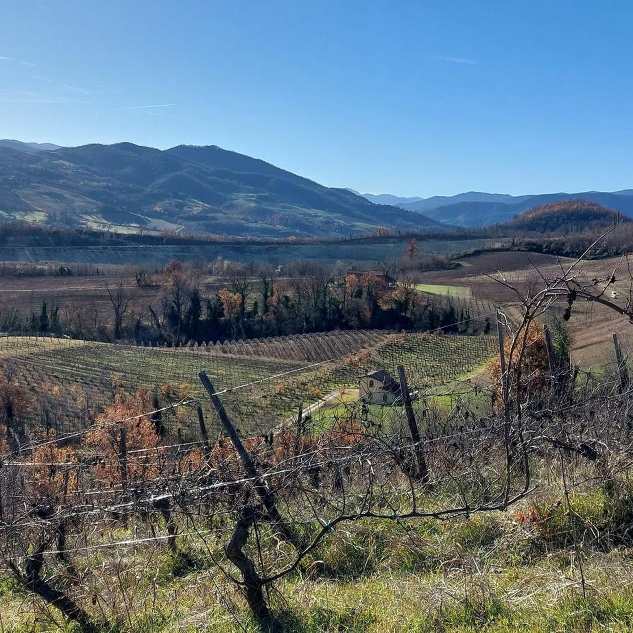
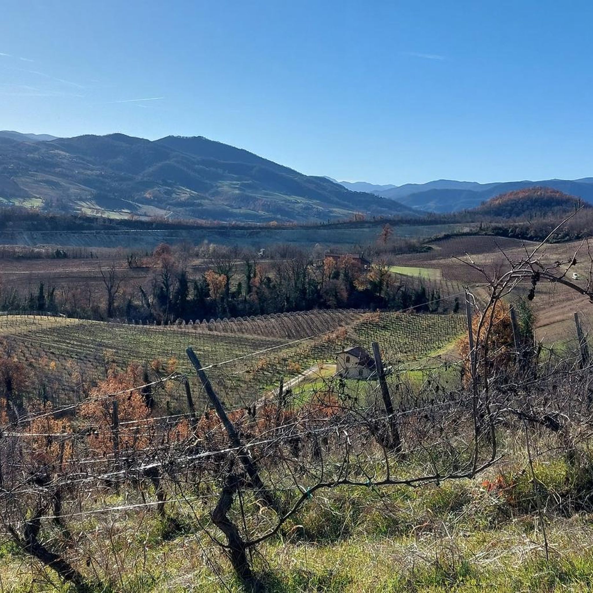
Excellent panoramic point
0
0

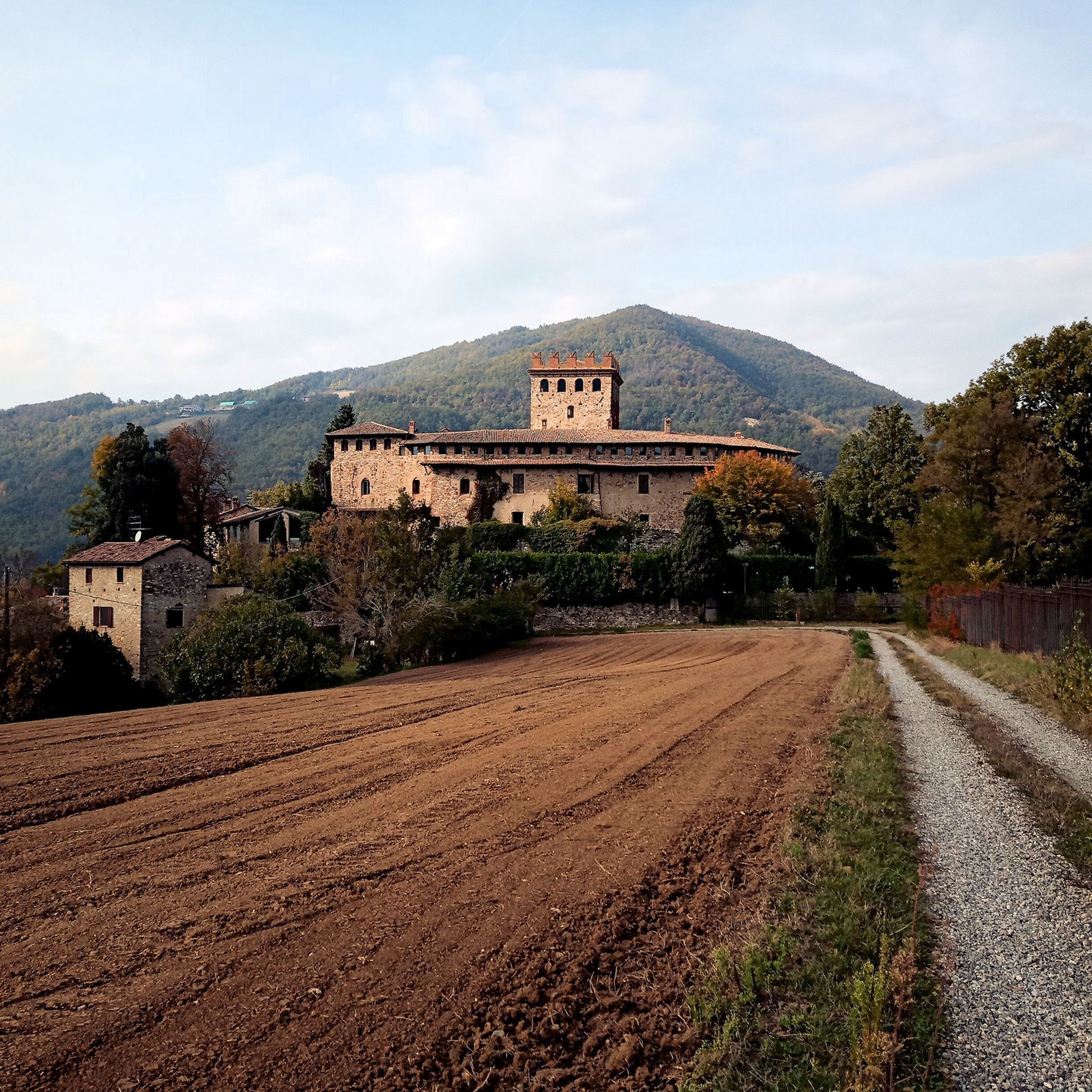
Beautiful isolated church immersed in silence
0
0

Church dedicated to Saints Faustino and Giovita
4
1

A section of the trail that climbs to Mount Dinavolo, with fallen trees on the path! You can get across by getting off your bike! 12/31/2025 The trail has been repaired and is free of fallen trees.
0
0
Mount Denavolo, m. 702 s.l.m., is located on the watershed between Val Nure and Val Trebbia. Its summit, almost flat and crowned by a fresh pine forest, is characterized by a cross placed at the highest point and offers a splendid 360° view of the surrounding landscape.
2
0

komootモバイルアプリでインスピレーションを得よう


さらに探索
他の地域の最高のハイキングを見てみましょう。
