ヴィラコレマンディーナの湖・トップ15
次の冒険でヴィラコレマンディーナの素晴らしい湖を訪れてみませんか?湖畔の穏やかな雰囲気や、天気が良い日のひと泳ぎは格別です。komootコミュニティがおすすめするヴィラコレマンディーナの素晴らしい湖の一覧を参考にして、次の冒険では湖をもっと満喫しましょう。
最終更新日: 10月 4, 2026
ヴァーリ湖
ハイライト • 湖
翻訳者 Google •
役立つ情報 は

バルジェターナ湖
ハイライト • 湖
翻訳者 Google •
役立つ情報 は

今すぐサインアップして、こんな場所を発見しよう
最高のシングルトラック、ピーク、その他のエキサイティングなアウトドアスポットのおすすめを受け取ろう。
グラモラッツォ湖
ハイライト • 湖
翻訳者 Google •
役立つ情報 は

ラゴ・ディ・ヴァーリとポンテ・モランディ
ハイライト • 湖
Last day of vacation in Green Tuscany. Temperatures rise above 40°C.
In search of cooling, …
翻訳者 Google •
役立つ情報 は


無料アカウントで今日から始めよう
次の冒険が待っています。

コミュニティからのヒント

グラモラッツォ湖は、ミヌッチャーノのコムーネにある同名の町の近くに位置するアプアーネ・アルプスの湖です。人工湖であり、1900年代後半にSELT Valdarnoによって、セルキオ川とその支流の水力発電利用のために、ヴァーリ湖と共に建設されました。面積1平方キロメートル、貯水量380万立方メートルのこの湖は、ピアーザ・アル・セルキオで合流してトスカーナの川を形成する2つの支流のうちの1つであるグラモラッツォのセルキオ川を、流入河川としても流出河川としてもいます。もう一つの重要な湖に流れ込む渓流は、ピサニーノ山から来てゴルフィリアーノの町を流れるアクア・ビアンカ渓流です。しかし、大部分の水は、ダムの近くの左岸にある水路から供給されており、毎秒20立方メートルの最大流量で、シッラーノの谷にあるセルキオ川から取水した水を排出しています。グラモラッツォ湖の水は、ファッブリケ発電所に供給され、そこからヴァーリ湖に排出されます。
0
0
水力発電ダムの建設は、伯爵技師イグナツィオ・プリンエッティ・カステッレッティの設計により1941年に始まり、戦時中は遅延しましたが、1947年にSELT Valdarno(現Enel)の監督下で完了しました。1951年から53年にかけて、ダムは約30mかさ上げされ、全体の高さは約88〜92mになりました。コンクリート造りの通常のアーチ式重力ダムは、頂部が長さ150m、幅5mで、基礎レベルでの幅は約70mです。頂部は一年中一般に公開されています。 1947年にエドロン川を堰き止めて人工的に形成された湖は、ダムの貯水池を形成しています。満水になると、湖の水は上昇し、いくつかの村を水没させました。その中でも主要なものは、13世紀に設立されたブレシアの鍛冶屋の小さな村、ファッブリケ・ディ・カレッジーネで、貯水池が空になるたびに再び現れます。ヴァイオント災害以降、貯水池は最大容量の80%を超えて満水にされることはありません。貯水池には約3500万立方メートルの水が貯えられており、メンテナンス作業が必要な場合に限り例外的に空にされます。これは4回ありました。1958年、1974年、1983年、1994年です。最後の年には、世界中から約100万人の観光客がヴァーリにやってきました。
0
0

The place is cool and quiet during the week. Canoe rentals are available for lake excursions.
0
0

The more you pass by, the more you fall in love. It is easily reached on foot from the forest road. On a mountain bike, you have to push your bike for a stretch. It is a little extra effort that I recommend.
0
0

Lago di Vagli (Vagli Sotto) - That's all it needs to be / Day 13 Last day of vacation in Green Tuscany. Temperatures rise above 40°C. In search of cooling, which we find on the banks of the Lago di Vagli reservoir. We are triggered by the sunken village, Fabbriche di Careggine, which was evacuated in 1947 to create a reservoir for the public interest. This village had a beautiful Romanesque church from the 13th century, a few houses and a cemetery. Every now and then the church tower of the village appears above the water. In a haze of mystery and the mirage above the water surface, we hope to catch a glimpse of the spire. The ghost village only reveals its hidden secrets every 25 years. The last time the reservoir was drained for maintenance work was in 1996 and was allowed to receive millions of visitors. Due to corona, the draining has been postponed. Now we are looking forward to a new period when the lake will be drained once again. Ruins will then reveal their secrets again... will the church tower of San Teodoro still be intact? It is also said that the spirits of the deceased residents then return and haunt the village, a real ghost town... 'More' is all we need for that... Ponte Morandi and Ponte dei Fanti di Marina let us enjoy beautiful views over the idyllic lake, the picturesque village of Vagli Sotto with the beautiful green mountain landscape in the background. We walk past the statues of Parco dell'Onore e del Disonore in an exemplary manner. Here 'Honour and Dishonour' stare out over the surface of the water. The statues of Trump and Putin are only worth a two-second glance. We complete our discovery adventurously along the shady banks of Vagli Sotto. With a delicious lunch behind us, we finally leave... The heat is getting too much for us, returning to our B&B seems like a good idea... Read more experiences? Click through to https://www.komoot.com/nl-nl/collection/2195535/-visit-italy-2023-regio-massa-carrara-lucca
2
1

One of the most beautiful places in the entire Tuscan-Emilian Apennines
0
0

The body of water is located in the municipality of Vagli Sotto in the province of Lucca and was formed artificially with the damming of the Edron stream in 1947 by SELT Valdarno (now Enel s.p.a.) and the construction of a hydroelectric dam designed by Count Eng. Ignazio Prinetti Castelletti as recalled by an inscription fixed to the wall between the steps on the western bank. In 1948 the works on the dam were completed with the subsequent raising to 92 meters. The rising waters of the lake submerged some villages among which the main one was Fabbriche di Careggine, a small village of blacksmiths from Brescia, founded in the 13th century, which re-emerges every time the lake is emptied. The lake contains approximately 35 million cubic meters of water and is emptied exceptionally if maintenance is necessary. It has happened four times: in 1958, 1974, 1983 and 1994. The new emptying was expected for 2024, but due to the water needs caused by recent droughts, it was decided to postpone the emptying to 2026 (unless it becomes necessary to postpone it again). The wait for the new emptying is linked to the tourist attraction offered by the re-emergence of the village of Fabbriche di Careggine, whose structure (including the beautiful church of San Teodoro) is still substantially intact under the waters of the lake.
1
0

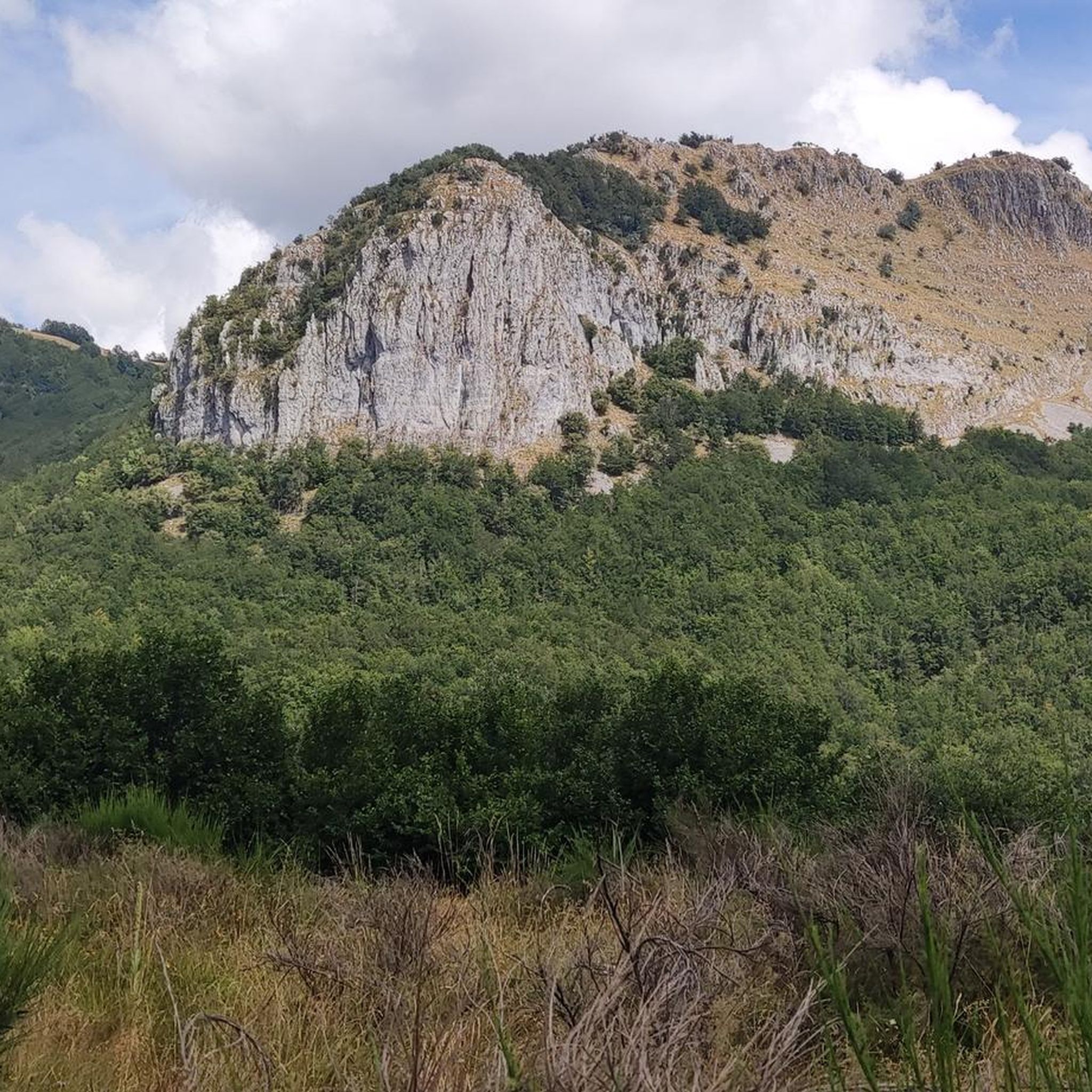
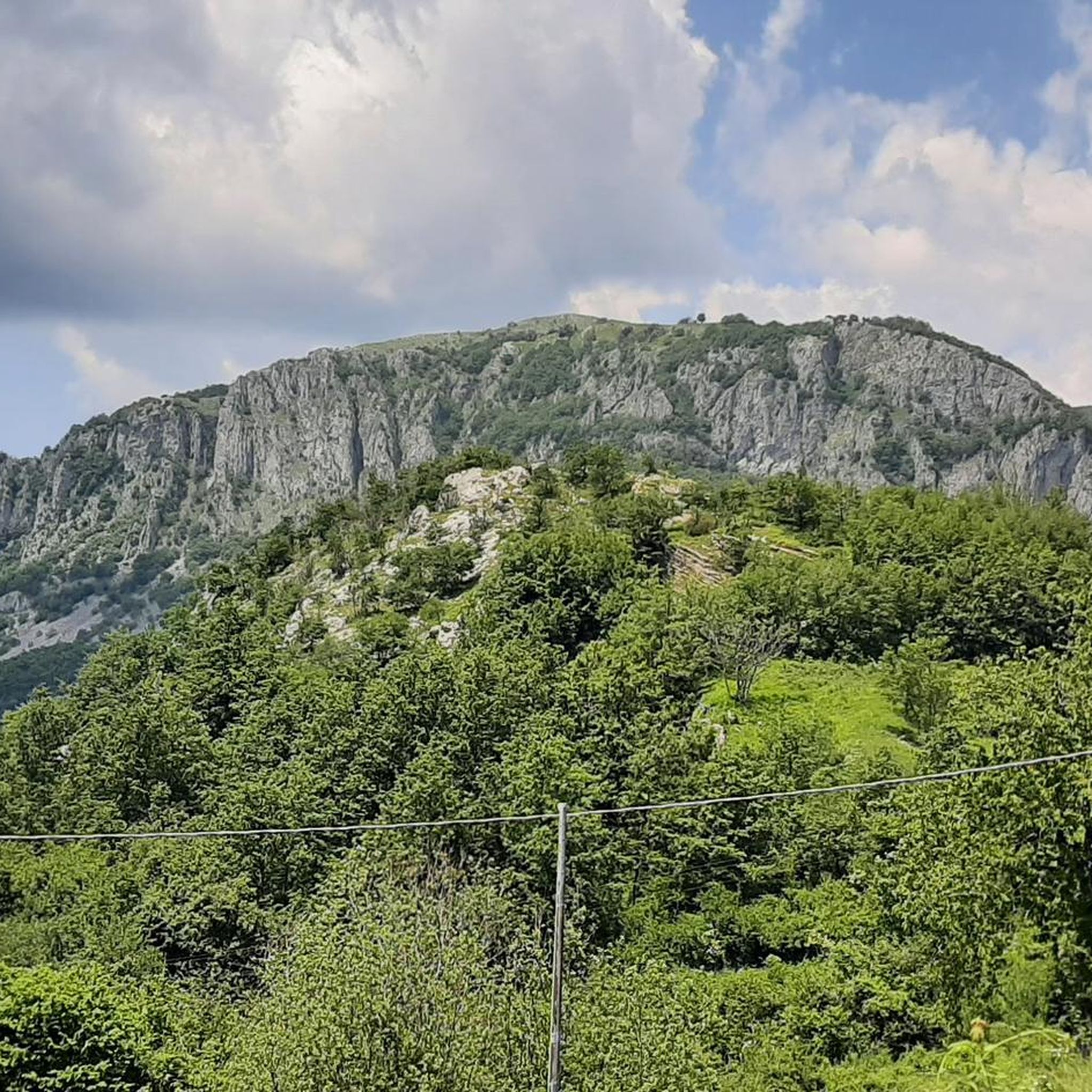
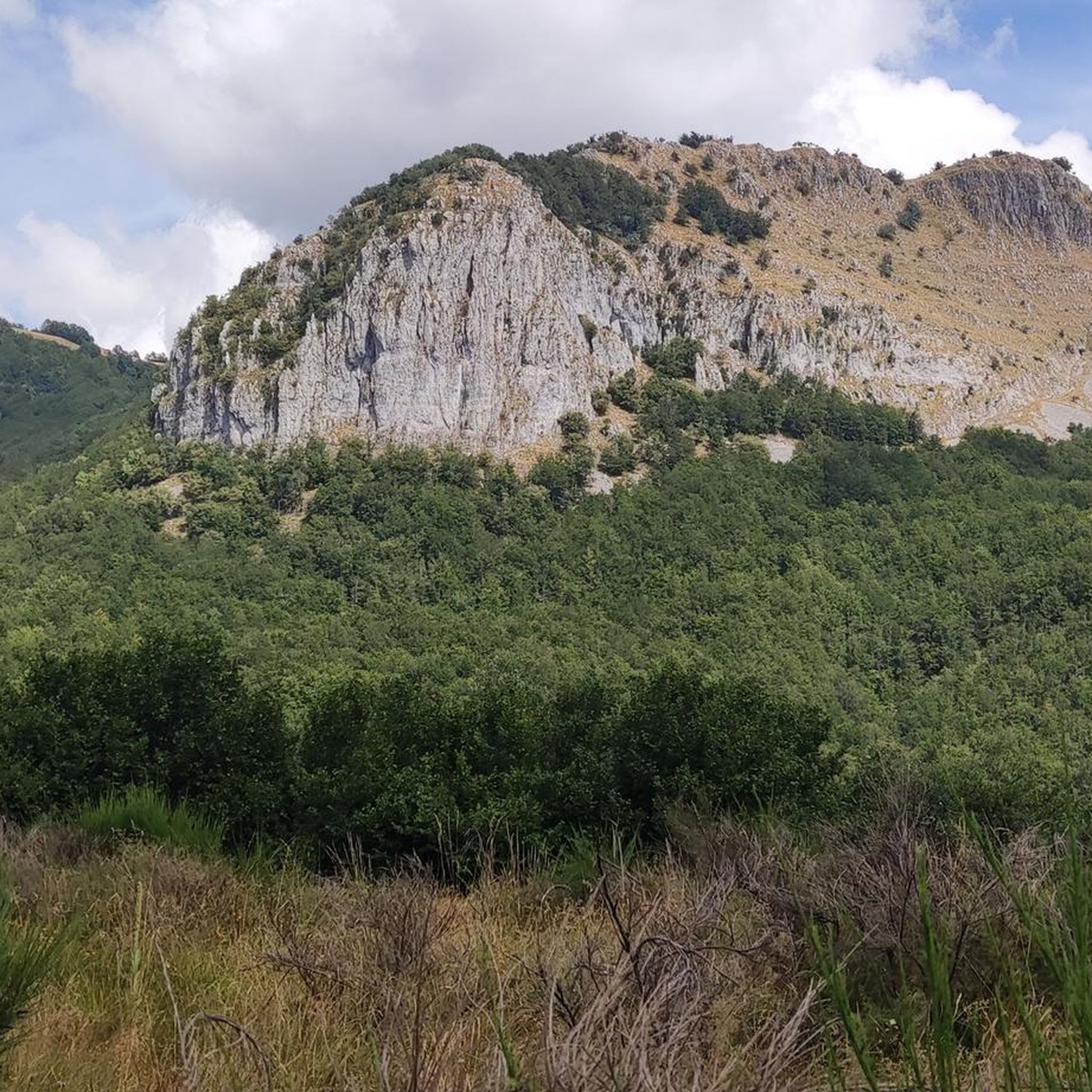
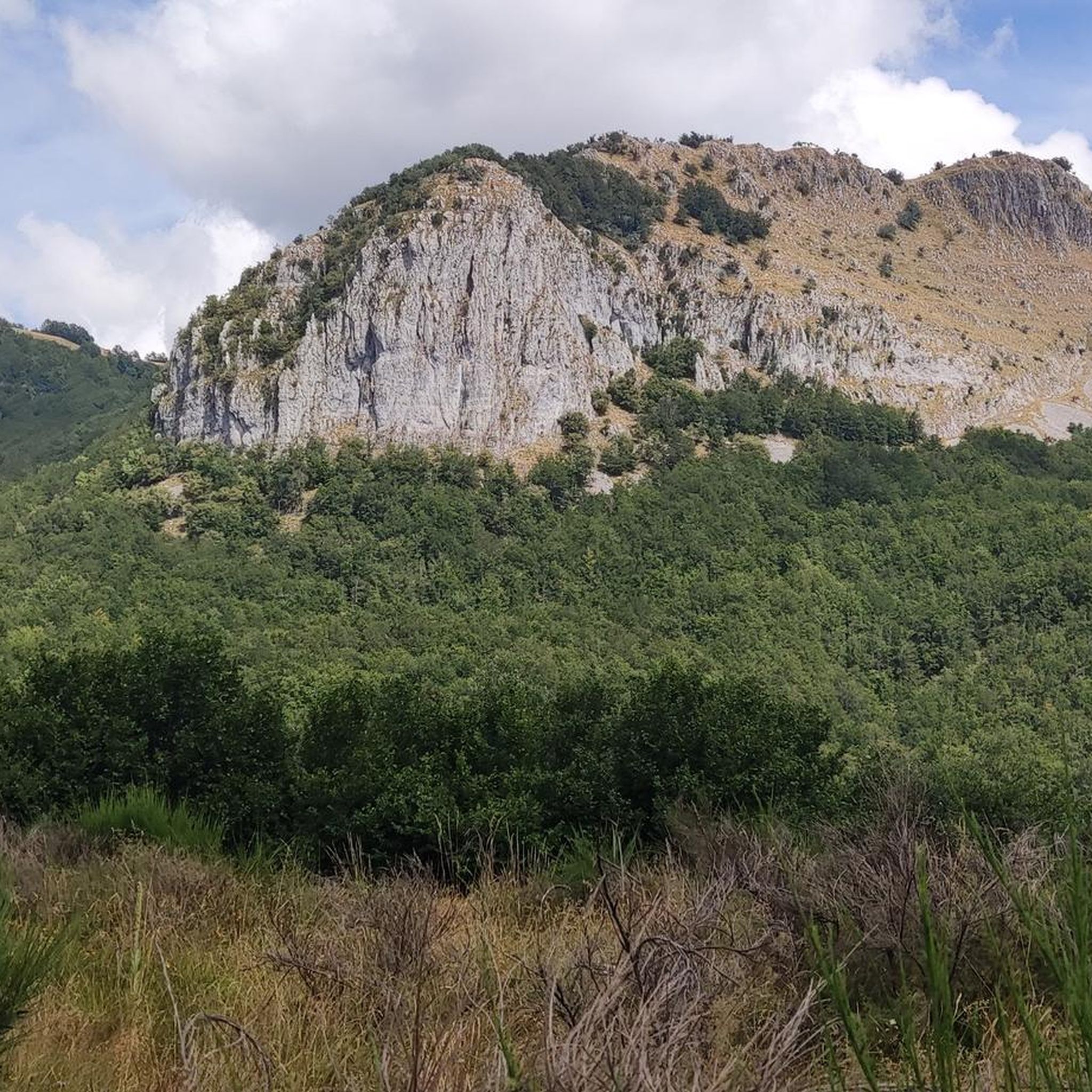
Lake Bargetana is located within the spectacular basin of the northern side of Mount Prado, which at 2054 m is the second highest peak in the Reggio Emilia Apennines. Its banks are surrounded by green pastures and rugged rock faces, among which it is not uncommon to spot the marmot.
0
0
ヴィラコレマンディーナでのの人気観光スポット

komootモバイルアプリでインスピレーションを得よう


さらに探索
まだ完璧な湖が見つかりませんかヴィラコレマンディーナでの?これらの地域のガイドをチェックして、さらに美しい場所を見てみましょう。
