ヴィラコレマンディーナ周辺のアトラクション&必見スポット - トップ20
ヴィラコレマンディーナには必見のスポットがたくさんあります。ハイキング愛好家やサイクリング愛好家の方は、ぜひヴィラコレマンディーナを探索してこのエリアにある20
の隠れたスポットを訪れてみてください。このエリアの必見スポットを確認し、次の冒険に出かける計画を立てましょう。
最終更新日: 10月 9, 2026
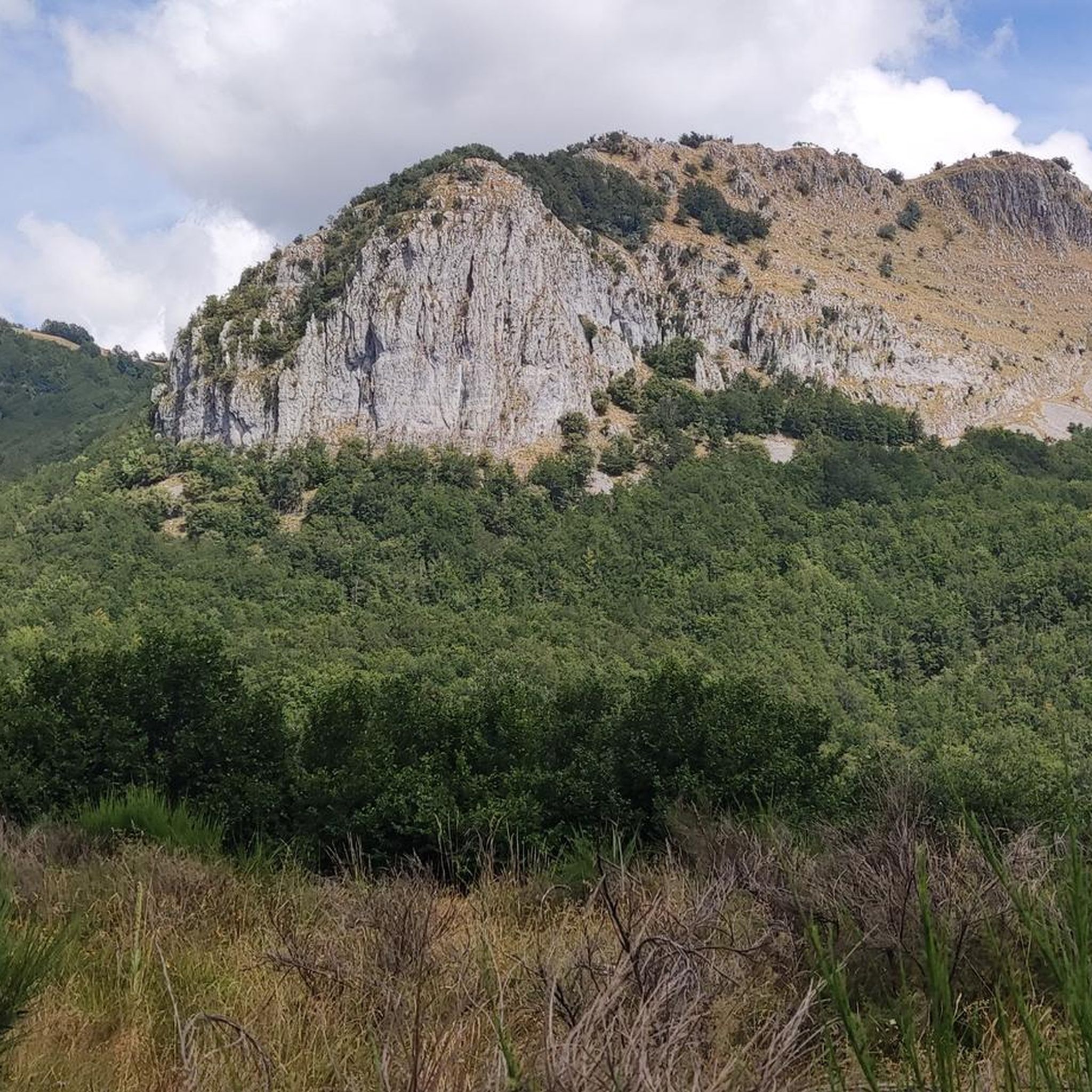
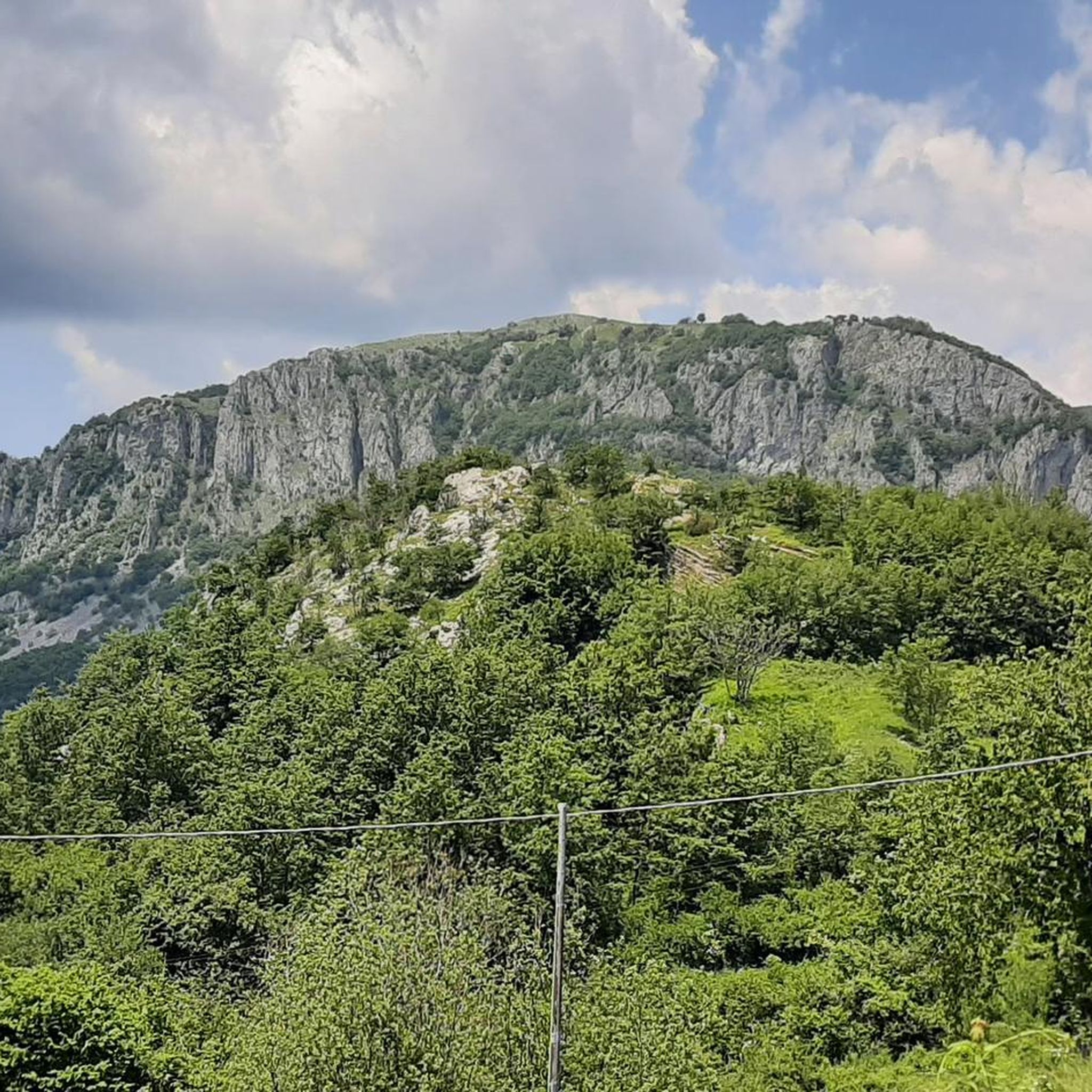
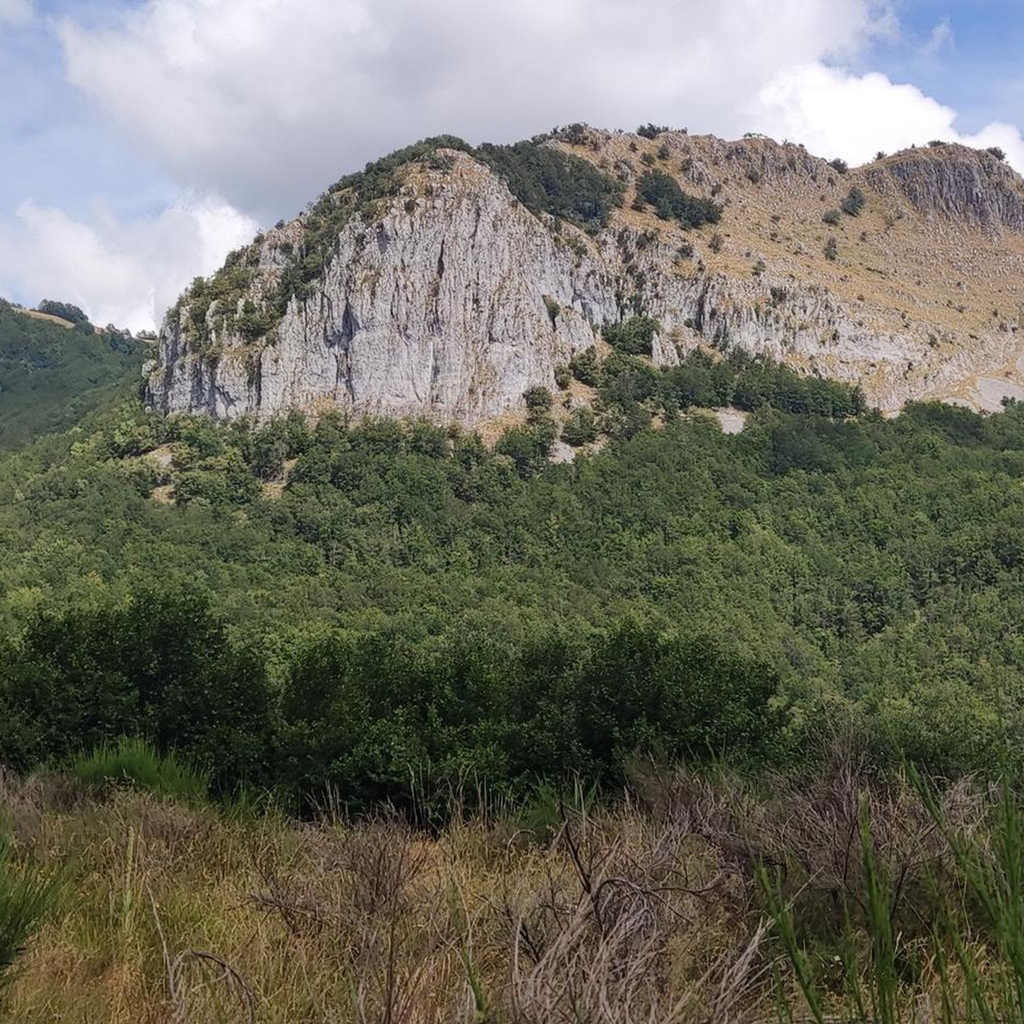
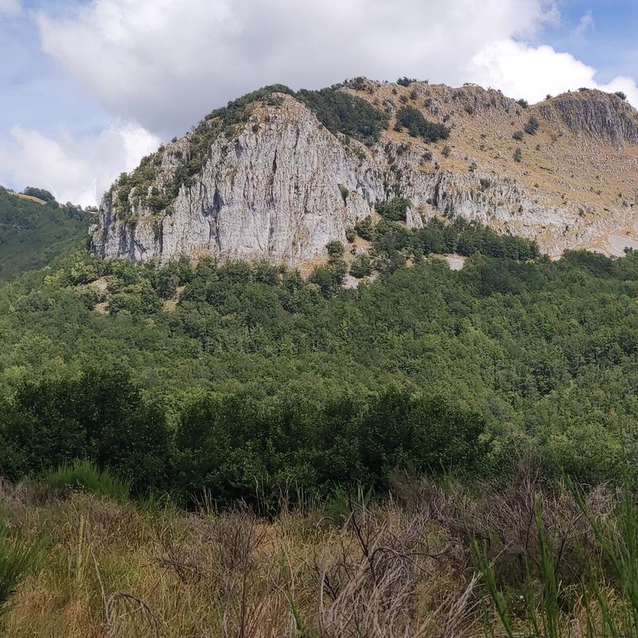
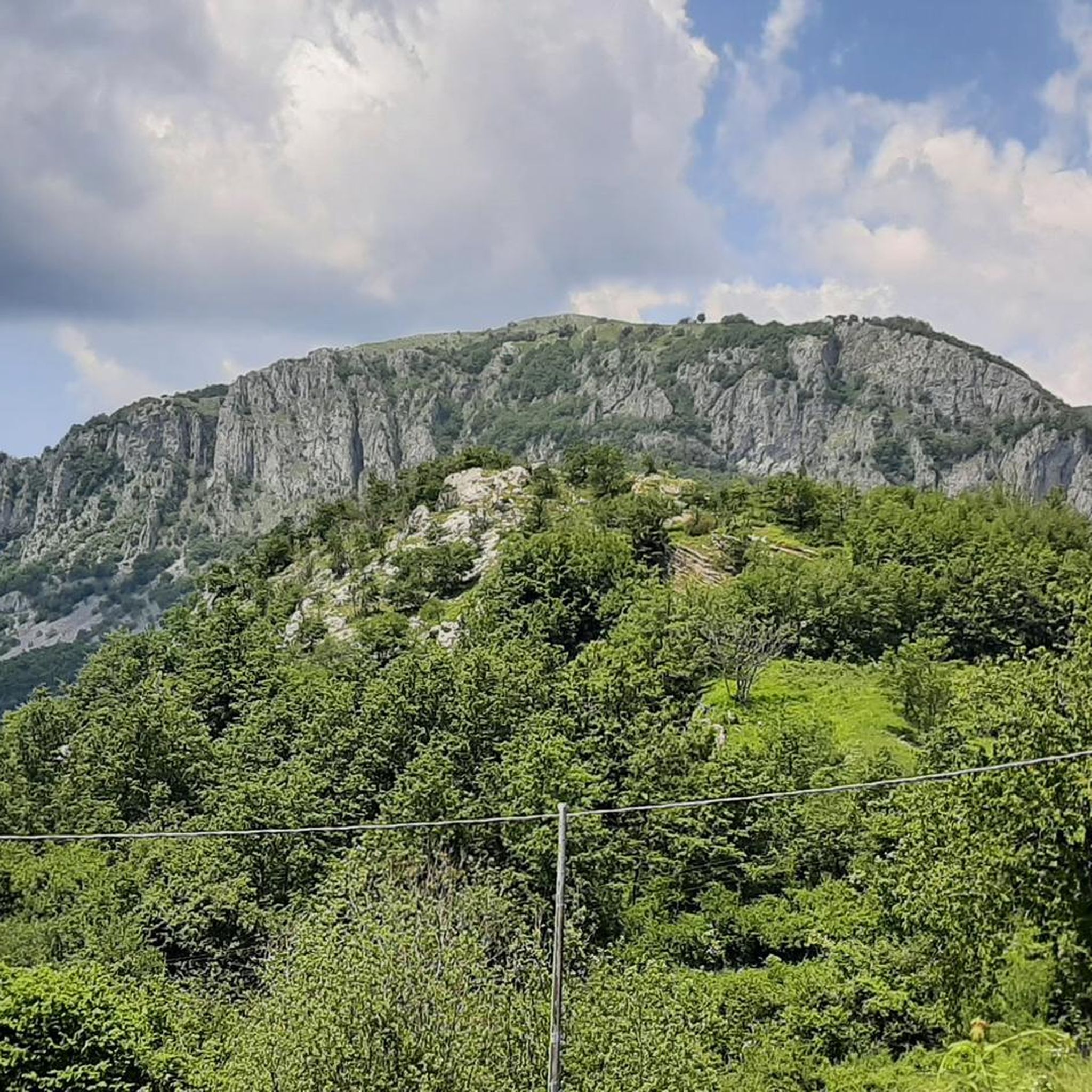
モンテ・クスナ山頂
ハイライト • 山頂
翻訳者 Google •
役立つ情報 は

サン・ペッレグリーノ・イン・アルペ
ハイライト • 集落
翻訳者 Google •
役立つ情報 は

今すぐサインアップして、こんな場所を発見しよう
最高のシングルトラック、ピーク、その他のエキサイティングなアウトドアスポットのおすすめを受け取ろう。
リフージョ・チェーザレ・バッティスティ
ハイライト • 山小屋
翻訳者 Google •
役立つ情報 は

パッソ・ディ・ラマ・リーテ
ハイライト • 山道
翻訳者 Google •
役立つ情報 は


無料アカウントで今日から始めよう
次の冒険が待っています。

コミュニティからのヒント

Passo di Lama Liteは、トスカーナ州境のすぐそば、標高1,749メートルのアペニン山脈レッジアーノ高地に位置する非常に重要なハイキングの分岐点であり、峠です。プラド山とクスナ山の麓にあり、アペニン山脈トスカーナ=エミリア国立公園内にあります。
0
0

ラマ・リテ峠は、エミリア=ロマーニャ州とトスカーナ州の境界にあるアッペンニーノ・レッジャーノ高地に位置する標高1,749メートルの非常に重要な峠です。トスカーナ=エミリアン・アペニン国立公園の中心部にあります。この峠は、ドーロ川の谷とオゾラ川の谷の間の重要な分水嶺として機能し、モンテ・プラド山塊の麓に位置し、モンテ・クズナの素晴らしい景色を眺めることができます。
0
0
水力発電ダムの建設は、伯爵技師イグナツィオ・プリンエッティ・カステッレッティの設計により1941年に始まり、戦時中は遅延しましたが、1947年にSELT Valdarno(現Enel)の監督下で完了しました。1951年から53年にかけて、ダムは約30mかさ上げされ、全体の高さは約88〜92mになりました。コンクリート造りの通常のアーチ式重力ダムは、頂部が長さ150m、幅5mで、基礎レベルでの幅は約70mです。頂部は一年中一般に公開されています。 1947年にエドロン川を堰き止めて人工的に形成された湖は、ダムの貯水池を形成しています。満水になると、湖の水は上昇し、いくつかの村を水没させました。その中でも主要なものは、13世紀に設立されたブレシアの鍛冶屋の小さな村、ファッブリケ・ディ・カレッジーネで、貯水池が空になるたびに再び現れます。ヴァイオント災害以降、貯水池は最大容量の80%を超えて満水にされることはありません。貯水池には約3500万立方メートルの水が貯えられており、メンテナンス作業が必要な場合に限り例外的に空にされます。これは4回ありました。1958年、1974年、1983年、1994年です。最後の年には、世界中から約100万人の観光客がヴァーリにやってきました。
0
0


Lama Lite is a well-known mountain pass. Just looking at it on the map is enough to understand its importance. I have passed through it dozens of times but I can never avoid stopping to take a picture.
2
0

crossroads of paths coming from the royal fir forest on the right you go to the refuge. Battisti and Monte Cusna, continuing you arrive at the Bargetana lake and climb to Monte Prado on the left you return to the Rif. Segheria
3
0


From Wiki: "The Apennine pass of Radici, between the Serchio and Secchia valleys, was certainly important and frequented in ancient times and became, during the Middle Ages, a place of transit for merchants, pilgrims and armies. A short distance from the pass arose a hospice for pilgrims and a church linked to the cult of the hermits Pellegrino and Bianco. Pellegrino, traditionally believed to be the son of a Scottish king, is said to have lived for years in prayer in the wild surrounding mountains and his presence is linked, in addition to popular devotion, to various stories and legends. In truth Pellegrino and Bianco have never been officially canonized. "
2
0
ヴィラコレマンディーナでのの人気観光スポット

komootモバイルアプリでインスピレーションを得よう


さらに探索
まだ探しているハイライトが見つかりませんか?他の地域のトップアトラクションのガイドを見てみましょう:
