レンナーツホーフェンのおすすめウォーキング&ハイキングルート
4.6
(193)
757
ハイカー
77
ハイキング
レンナーツホーフェン周辺でのハイキングは、景色を満喫するのに最適な手段のひとつですが、適切なハイキングルートを見つけることは簡単ではありません。 レンナーツホーフェン周辺の人気ハイキング&ウォーキングコースを参考にすれば、行きたいルートをすぐに見つけられます。
最終更新日: 10月 21, 2026
4.6
(29)
97
ハイカー
7.42km
02:03
100m
100m
中程度のハイキング. ある程度のフィットネスレベルが必要です。 ほとんどが歩ける道です。足元への注意が必要です。
4.9
(8)
32
ハイカー
18.1km
05:05
360m
360m
難しいハイキング. 標準以上のフィットネスレベルが必要です。 歩きやすい道です。

5.0
(2)
17
ハイカー
8.21km
02:10
70m
80m
中程度のハイキング. ある程度のフィットネスレベルが必要です。 歩きやすい道です。
4.1
(11)
47
ハイカー
5.94km
01:40
120m
110m
初級者向けハイキング. 歩きやすい道です。
4.3
(4)
28
ハイカー
11.3km
03:04
150m
150m
中程度のハイキング. ある程度のフィットネスレベルが必要です。 歩きやすい道です。
さらに多くのルートや他のユーザーのおすすめ情報を確認できます。
すでにアカウントをお持ちですか?
おすすめのツアーは他のkomootユーザーが実際に経験した何千ものアクティビティに基づいています。
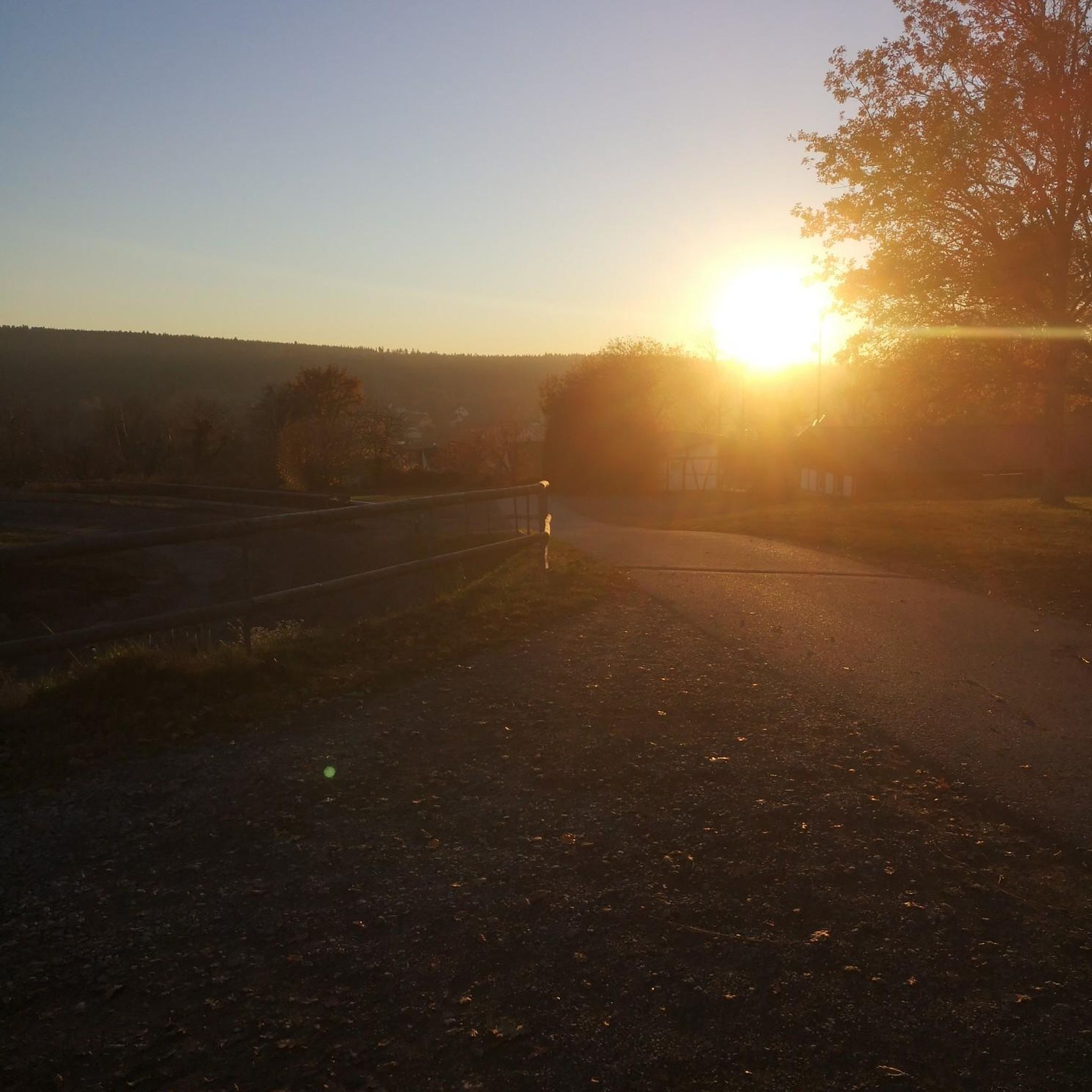
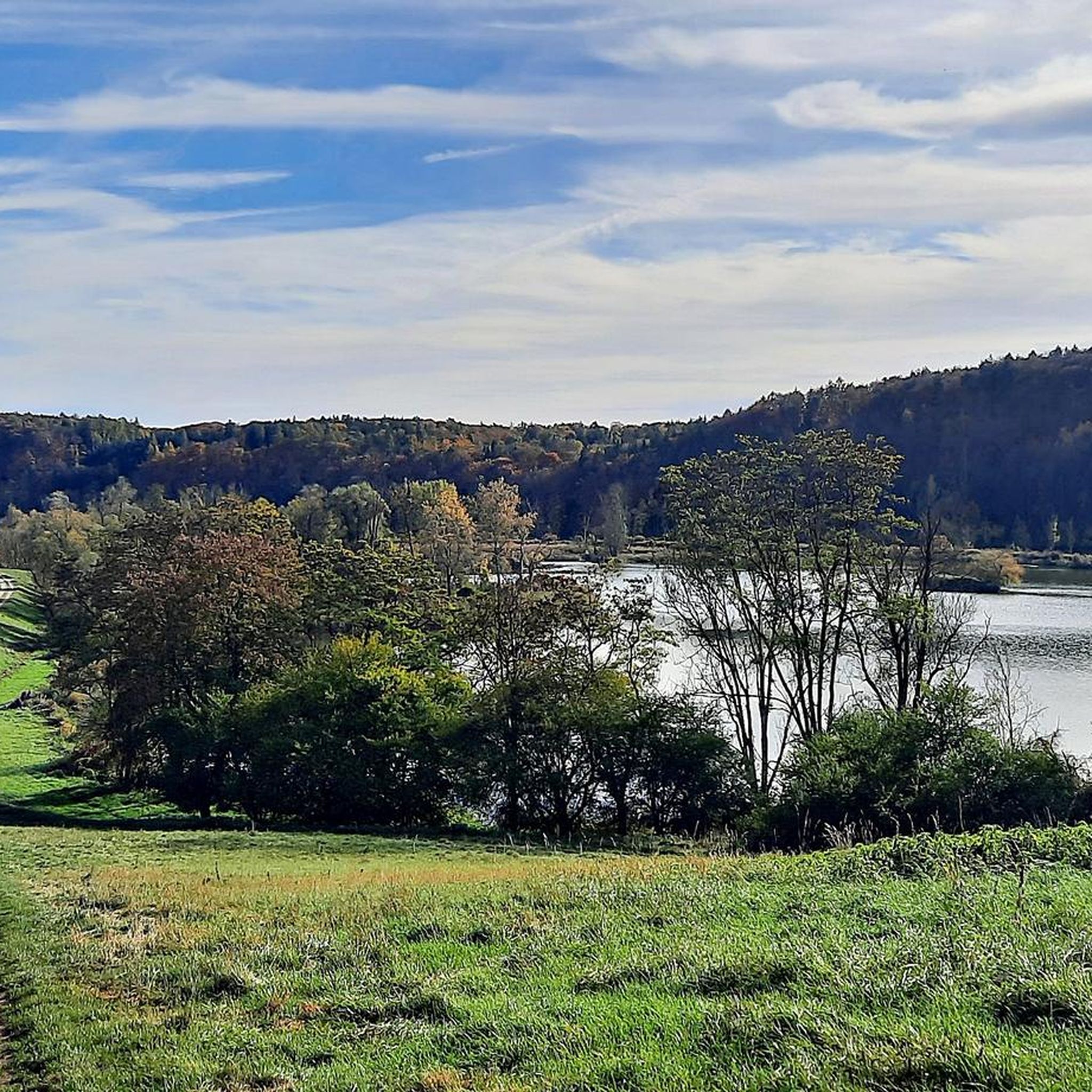
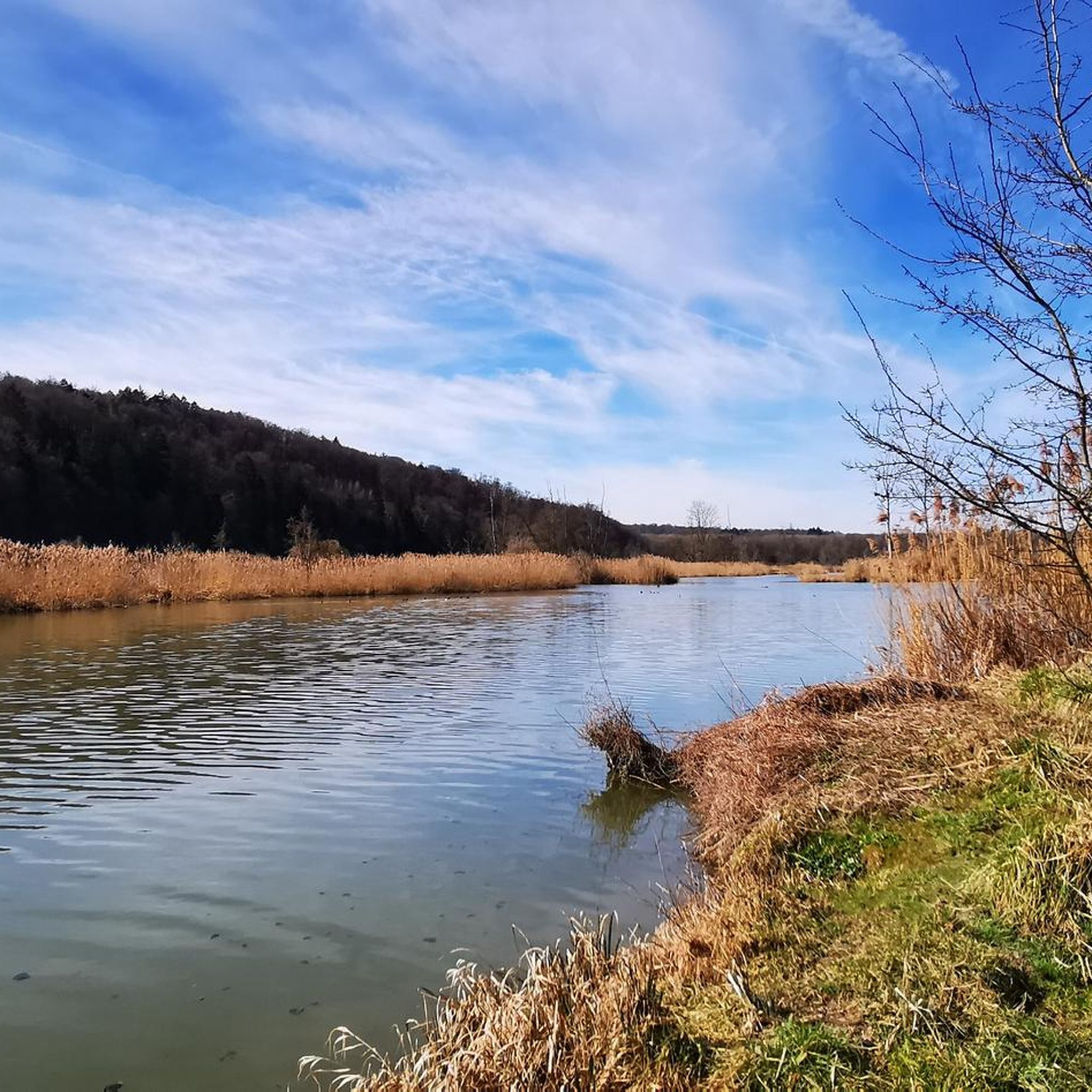
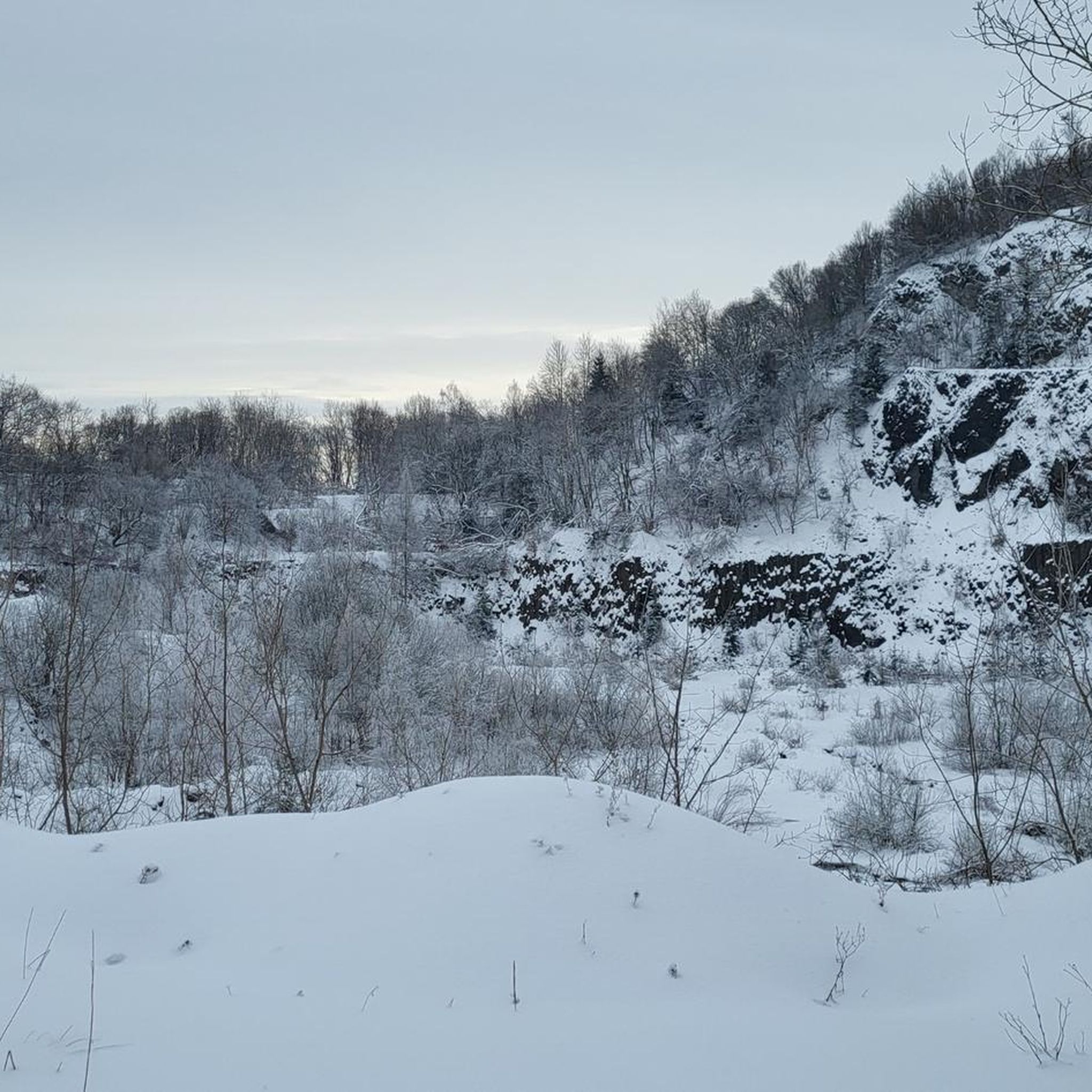


コミュニティからのヒント


ここは本当に素晴らしいです
0
0

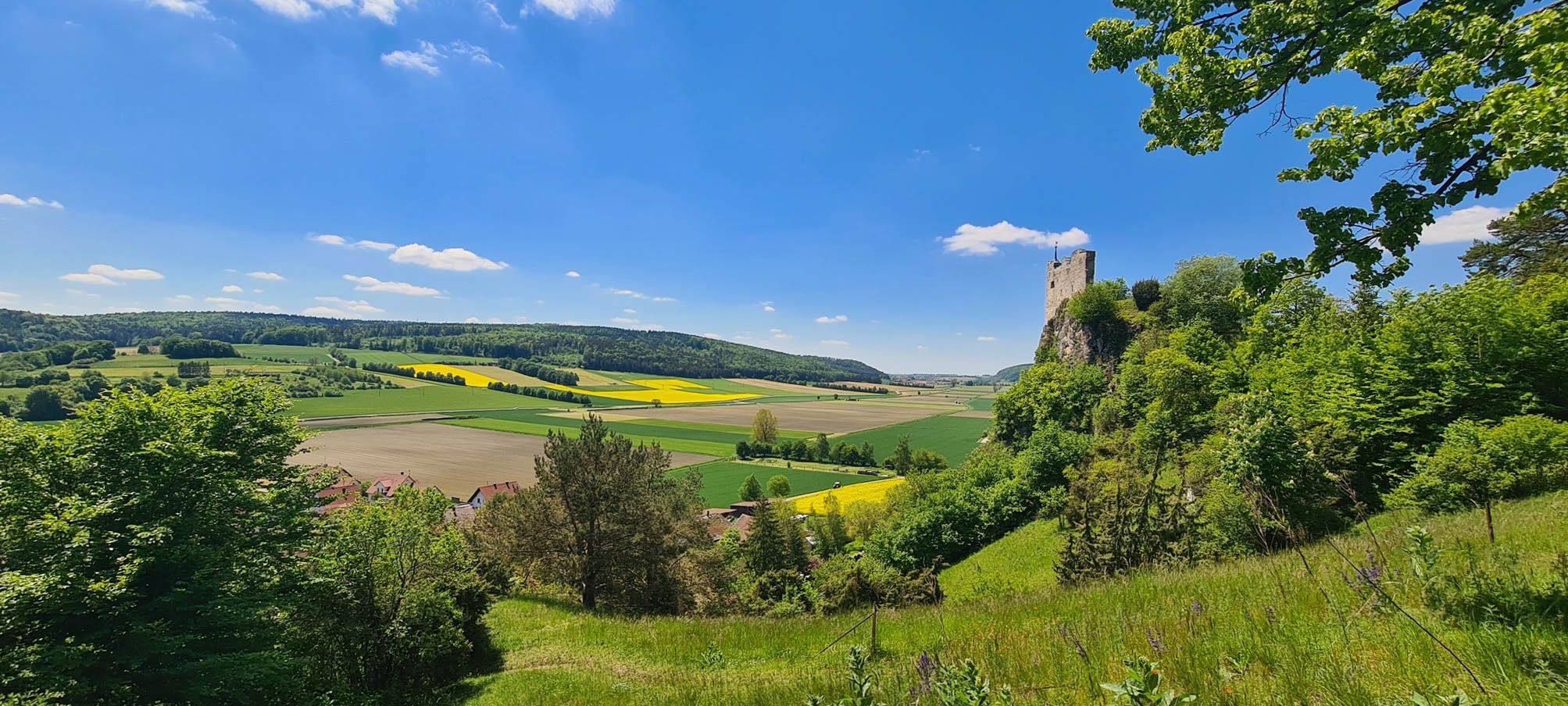
素晴らしい眺めですが、アルトマンシュタインはこの場所からは見えません。代わりにレンナースホーフェン、トライデルハイム、マウエルンが見えます。
1
0

A small parking lot for hikers, ideal as a starting point for a hike to the Finkenstein lookout point. There's also a playground and benches for a snack.
1
0

The nature reserve encompasses the caves and the surrounding areas of the Jura slope. It was designated a protected area in 1979 (size: 7.03 hectares) due to the geological and ecological significance of the caves and the biodiversity of the adjacent dry grasslands. The Mauerner Höhlen Nature Reserve is located at the entrance to the Wellheim Urdonautal Valley, north of Mauern. It is known for its karst caves, which were inhabited by humans until the Paleolithic period and contain significant archaeological finds. The area is characterized by limestone slopes with rare vegetation, especially flowers and insects. Features of the Nature Reserve: •Karst caves: The caves are a geotope and natural monument that offers insights into the earth's history and the way of life of early humans. •Archaeological finds: Significant finds have been made in the caves, including animal and human remains, tools, and a limestone figure. •Limestone slopes: The steep slopes are covered with rare vegetation created by sheep grazing. •Flora and fauna: Numerous flowers and insects, such as the Argus Blue butterfly, are native here. •Hiking trails: There are well-maintained paths along the slope that invite you to hike and enjoy nature. •Nature conservation: The caves are protected by grilles to prevent collapse and looting.
1
0

Just a few meters from the hiking trail (signposted!) is this incredibly magnificent viewpoint: a sweeping view over the ancient Danube Valley. This tiny detour is a must—don't miss it! Even if you have to climb the last few meters...
0
0

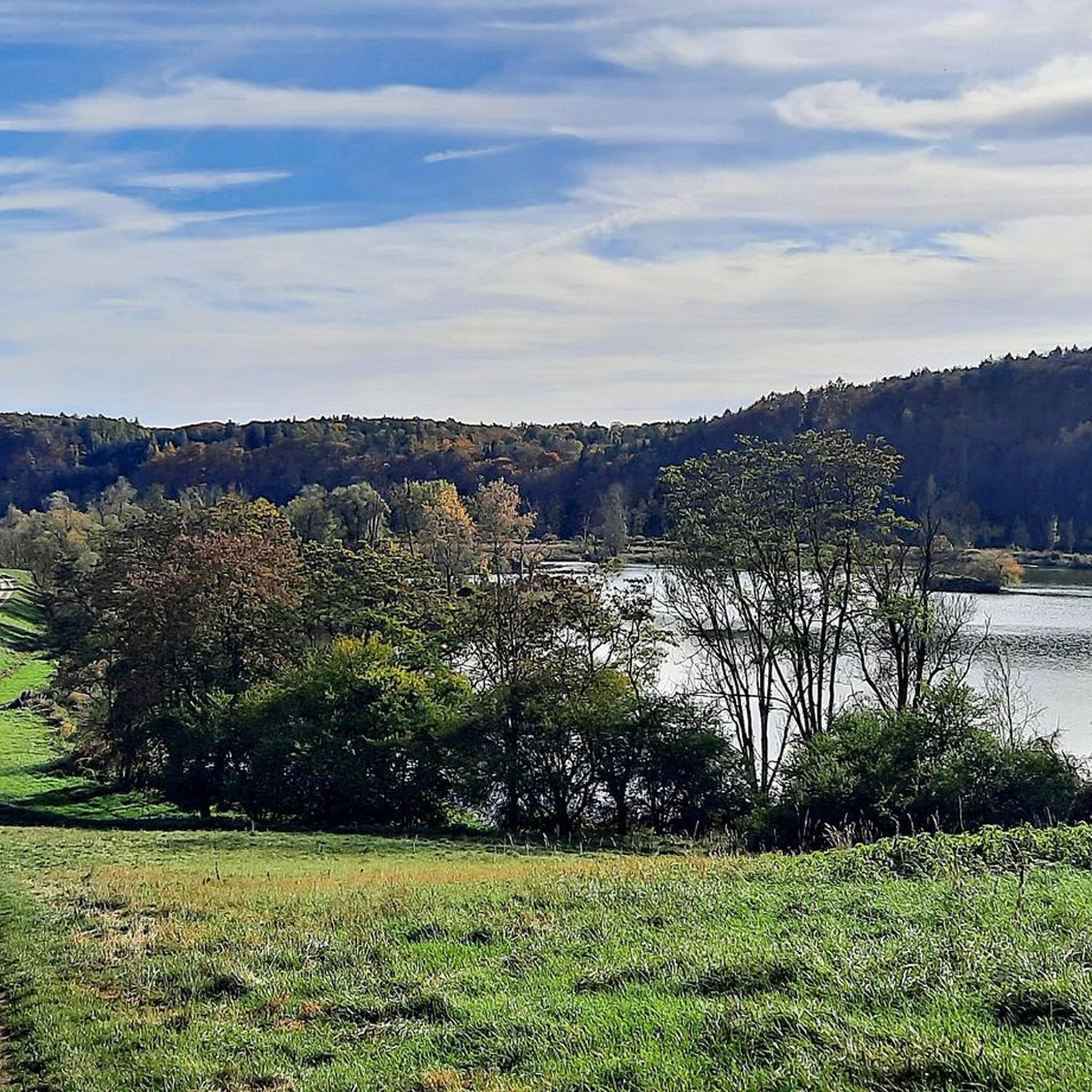
Run-of-river power plant built in 1969 with three Kaplan turbines
1
0

The caves are beautifully situated on the dry slope near Mauern. You can take great pictures from inside the caves.
0
0
レンナーツホーフェンでのの人気観光スポット

komootモバイルアプリでインスピレーションを得よう


さらに探索
他の地域の最高のハイキングを見てみましょう。
