ヴァルトピーナのおすすめウォーキング&ハイキングルート
4.5
(1761)
8,473
ハイカー
314
ハイキング
ヴァルトピーナ周辺でのハイキングは、景色を満喫するのに最適な手段のひとつですが、適切なハイキングルートを見つけることは簡単ではありません。 ヴァルトピーナ周辺の人気ハイキング&ウォーキングコースを参考にすれば、行きたいルートをすぐに見つけられます。
最終更新日: 9月 28, 2026
4.5
(32)
73
ハイカー
13.3km
04:29
630m
630m
Embark on the Monte Subasio Loop from Armenzano, a moderate hiking route that takes you through varied landscapes. You will hike 8.3 miles (13.3 km) and gain 2075 feet (632 metres) in elevation, typically completing the journey in about 4 hours and 28 minutes. As you ascend, you will pass through cultivated olive groves, dense oak woodlands, and expansive open fields, eventually reaching the Monte Subasio Summit for wide views of the Umbrian countryside.
Planning your visit requires some preparation, as the initial climb from Armenzano is quite uphill and exposed to the sun for over 2 kilometers. This means you should be ready for challenging sections and steep descents. The route demands good fitness and sure-footedness to navigate the terrain safely. You can usually find parking conveniently located in the village of Armenzano, which serves as the starting point for your adventure.
This trail is located within the Parco del Monte Subasio, an area known for its unique natural features. Keep an eye out for interesting geological formations called "mortari" along the way. You might also spot wild horses roaming freely in certain parts of the park, adding a special touch to your hiking experience in this distinctive Umbrian landscape.
4.5
(11)
27
ハイカー
10.3km
03:14
410m
410m
Embark on the Sentiero dei Fossi loop, a moderate hike spanning 6.4 miles (10.3 km) with an elevation gain of 1331 feet (406 metres), typically taking around 3 hours and 13 minutes to complete. This route guides you through the diverse eastern slopes of Mount Subasio, winding through woodlands of holm oak, manna ash, black pine, and even Himalayan cedars. You will encounter a rich undergrowth and pass through clearings that open into high-altitude pastures, offering changing panoramas as you hike. The trail is notably named for crossing ten main "fossi" or gullies, which are a defining feature of this side of the mountain.
This moderate loop is classified as suitable for hikers, but good physical condition is recommended for circular routes on Monte Subasio. The varied terrain includes approximately 7.90 kilometers of dirt road, 1.65 kilometers of unpaved path, and 601 meters of asphalt. While generally accessible, some sections within the broader park can be steep and rocky, so maintaining sure-footedness is always a good idea on your journey.
The Sentiero dei Fossi is nestled within the larger Parco Regionale del Monte Subasio, an area renowned for its rich biodiversity and deep connection to Franciscan spirituality. The park is also characterized by fascinating karstic phenomena, such as sinkholes locally known as "mortari," which were historically used to collect and preserve snow for ice production. This trail offers a unique opportunity to experience the mountain's hydrological features and diverse vegetation, including specific tree species like the Himalayan cedars.

5.0
(3)
6
ハイカー
14.7km
04:32
520m
520m
中程度のハイキング. ある程度のフィットネスレベルが必要です。 全般的に進みやすいルートです。安定して歩行できる技術が必要です。
4.5
(2)
7
ハイカー
10.0km
03:21
490m
490m
Embark on the Armenzano and San Giovanni Loop Trail for a moderate hiking experience that immerses you in the diverse landscapes of Parco Regionale del Monte Subasio. This route spans 6.2 miles (10.0 km) and involves a total elevation gain of 1615 feet (492 metres), typically taking about 3 hours and 21 minutes to complete. As you hike, you will traverse cultivated olive groves, dense oak woods, and open fields, often noticing the distinctive pink stone used in local architecture. Keep an eye out for sweeping panoramic views of the Umbrian landscape, including distant Apennine mountains and historic towns like Assisi and Spello, which provide memorable visual landmarks along the way. The atmosphere blends natural beauty with ancient history, offering a rich experience.
Your journey on the Armenzano and San Giovanni Loop Trail conveniently begins and ends in the charming medieval castle village of Armenzano. This makes for easy access and a pleasant start and finish to your hike. Parking is generally available in or near Armenzano, so you should find a spot without much trouble before you set off. While specific warnings for this particular loop are not highlighted, trails within the broader Monte Subasio area are typically well-marked, providing clear guidance throughout your adventure.
This loop offers more than just a workout; it's a journey through a region where natural beauty intertwines with ancient history. You'll encounter the unique pink stone characteristic of local towns and experience the varied terrain of the Monte Subasio area. The trail provides a fantastic opportunity to connect with the Umbrian landscape, offering glimpses into its past and present as you explore its olive groves and woodlands.
4.4
(10)
26
ハイカー
10.4km
03:17
420m
420m
中程度のハイキング. ある程度のフィットネスレベルが必要です。 進みやすいルートです。あらゆるスキルレベルに適しています。
さらに多くのルートや他のユーザーのおすすめ情報を確認できます。
すでにアカウントをお持ちですか?
おすすめのツアーは他のkomootユーザーが実際に経験した何千ものアクティビティに基づいています。
無料アカウントで今日から始めよう
次の冒険が待っています。

コミュニティからのヒント

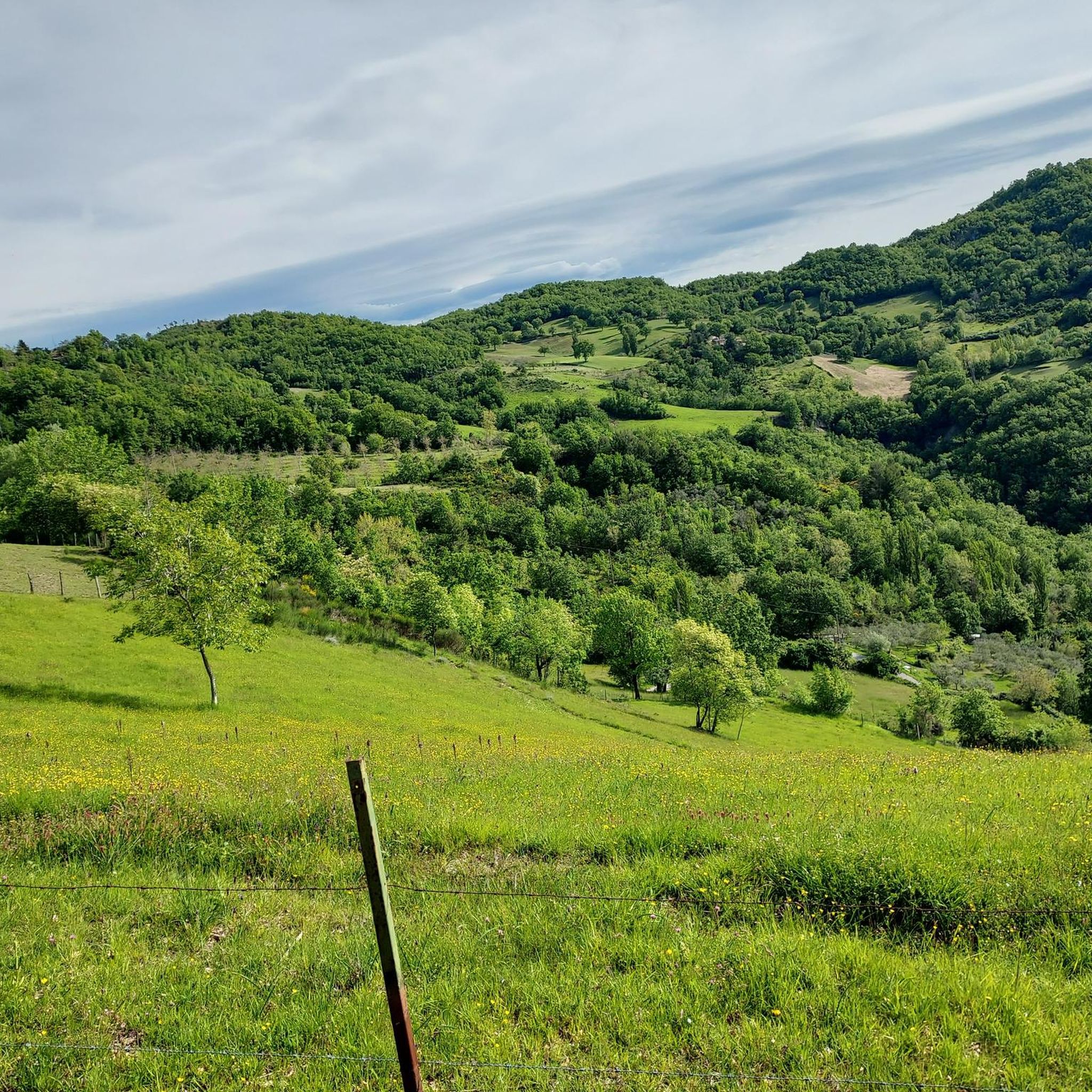
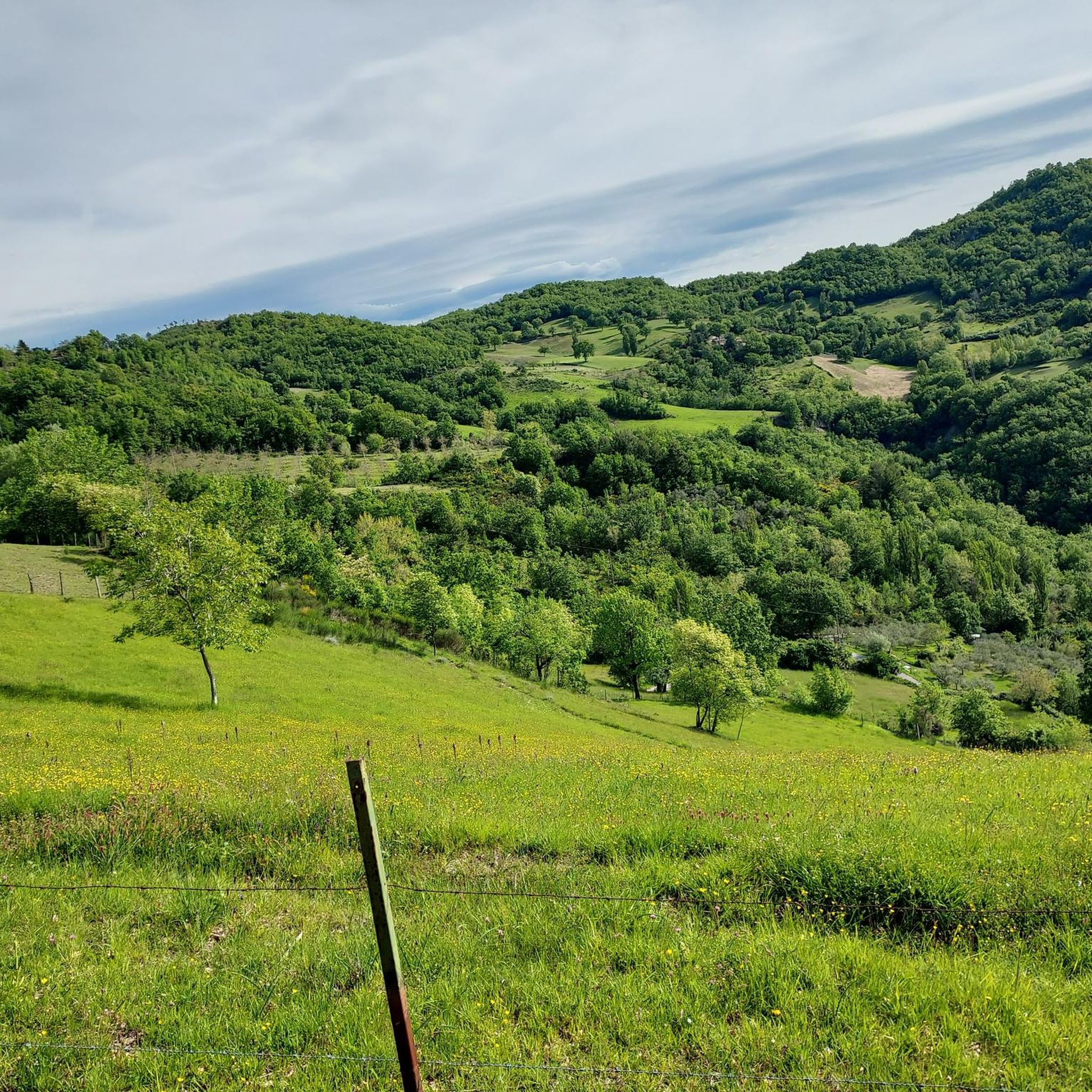
サッソ・ピアノという名の頂上に立つ、クロチェ・ディ・サッソ・ピアノと呼ばれるこの小さな聖なる記念碑の前で、ここに立ち寄る人々にアッシジの聖フランチェスコについての短い考察を捧げたいと思います。 + 「そして私たちはあなた[神の父]に感謝します、…あなたの十字架と血と死によって、囚われていた私たちを贖いたかったからです。」 (NbR XXIII, 3)
0
0

整備され、しっかりとした白い道での難しくないルート。景色は感動的な瞬間を与えてくれます
0
0
In the Mount Subasio Park, halfway between Armenzano and Collepino, lies an enchanting village, unknown to many: San Giovanni di Collepino, "the pink stone paradise." It's a castle whose walls, which once surrounded the town, no longer exist. It's said that Saint Francis performed one of his miracles here, granting sight to Beatrice, the sister of the castle's caretaker. She later became a nun at the Vallegloria Monastery. San Giovanni is a place of peace and quiet, the perfect refuge from the traffic and chaos of big cities. There's nothing touristy about it: there are no shops, groceries, bars, restaurants, or any other services. But you can breathe the fresh air and chat with the few souls who live there. In reality, the residents of San Giovanni only spend part of the year here, as most of them have second homes.
1
0

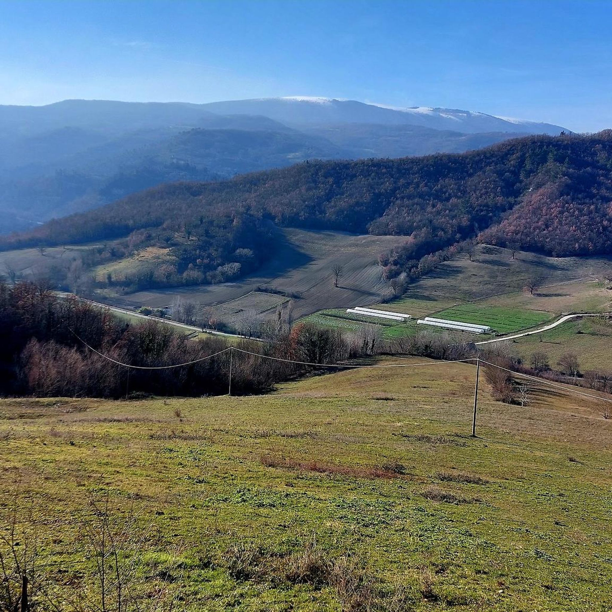
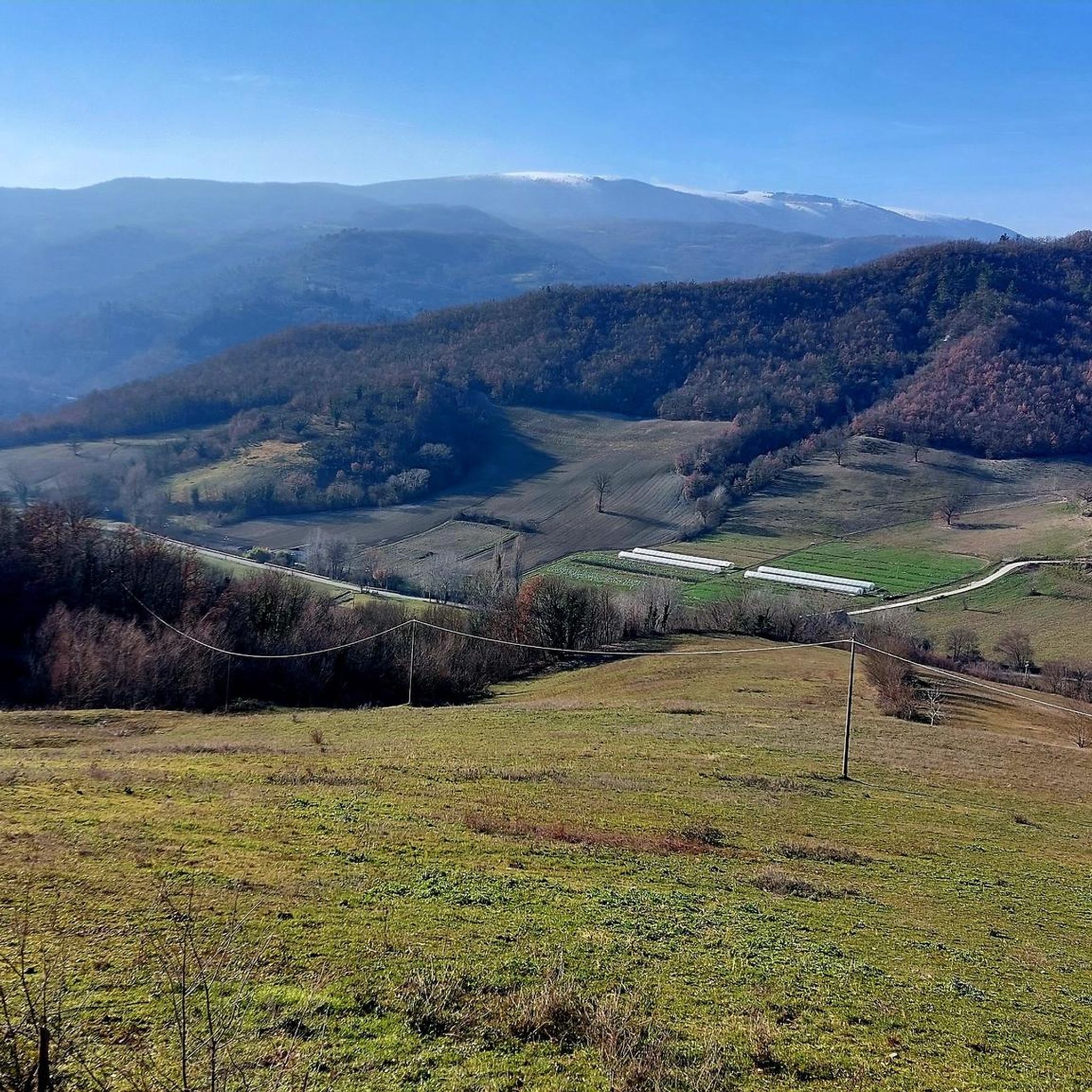
From here you can see a beautiful slice of the Apennine chain, with Mount Cucco dominating.
0
0
The town lies on a hill, with a central castle and a double concentric circle of houses. The castle of Armenzano has ancient origins, and is worth a short stop
2
0

visited today November 8, 2024 ... I was on a bike! Now the castle is covered with thick vegetation ... but with effort you can get there. It is about 100m from the path
0
0


summit of Mount Subasio. 360° panoramic view
1
0

komootモバイルアプリでインスピレーションを得よう


さらに探索
他の地域の最高のハイキングを見てみましょう。
