ロレート・アプルティーノのおすすめウォーキング&ハイキングルート
4.4
(115)
535
ハイカー
23
ハイキング
ロレート・アプルティーノ周辺でのハイキングは、景色を満喫するのに最適な手段のひとつですが、適切なハイキングルートを見つけることは簡単ではありません。 ロレート・アプルティーノ周辺の人気ハイキング&ウォーキングコースを参考にすれば、行きたいルートをすぐに見つけられます。
最終更新日: 7月 19, 2026
3.8
(27)
84
ハイカー
6.29km
01:41
80m
80m
Enjoy an easy 3.9-mile (6.3 km) hike around Penne Lake, exploring diverse wildlife and serene landscapes in this natural reserve.
5.0
(5)
19
ハイカー
12.5km
04:01
490m
490m
中程度のハイキング. ある程度のフィットネスレベルが必要です。 全般的に進みやすいルートです。安定して歩行できる技術が必要です。

無料新規登録
22
ハイカー
7.17km
02:03
170m
170m
中程度のハイキング. ある程度のフィットネスレベルが必要です。 進みやすいルートです。あらゆるスキルレベルに適しています。
4.5
(6)
22
ハイカー
15.9km
05:02
540m
550m
難しいハイキング. 標準以上のフィットネスレベルが必要です。 全般的に進みやすいルートです。安定して歩行できる技術が必要です。
4.0
(1)
8
ハイカー
10.8km
03:00
200m
200m
中程度のハイキング. ある程度のフィットネスレベルが必要です。 進みやすいルートです。あらゆるスキルレベルに適しています。
さらに多くのルートや他のユーザーのおすすめ情報を確認できます。
無料新規登録
すでにアカウントをお持ちですか?
おすすめのツアーは他のkomootユーザーが実際に経験した何千ものアクティビティに基づいています。
無料アカウントで今日から始めよう
次の冒険が待っています。
ログインまたは登録
コミュニティからのヒント

この橋の名前の由来は何ですか? イタリアやヨーロッパの他の地域では、Ponte Tibetano(チベット橋)は、狭くて揺れる歩行者用の吊り橋の確立された一般的な用語です。この名前は、何世紀も前にヒマラヤ地域(チベットを含む)で、深い峡谷や激しい川を渡るために建てられた伝統的なロープ橋を指しています。
4
0
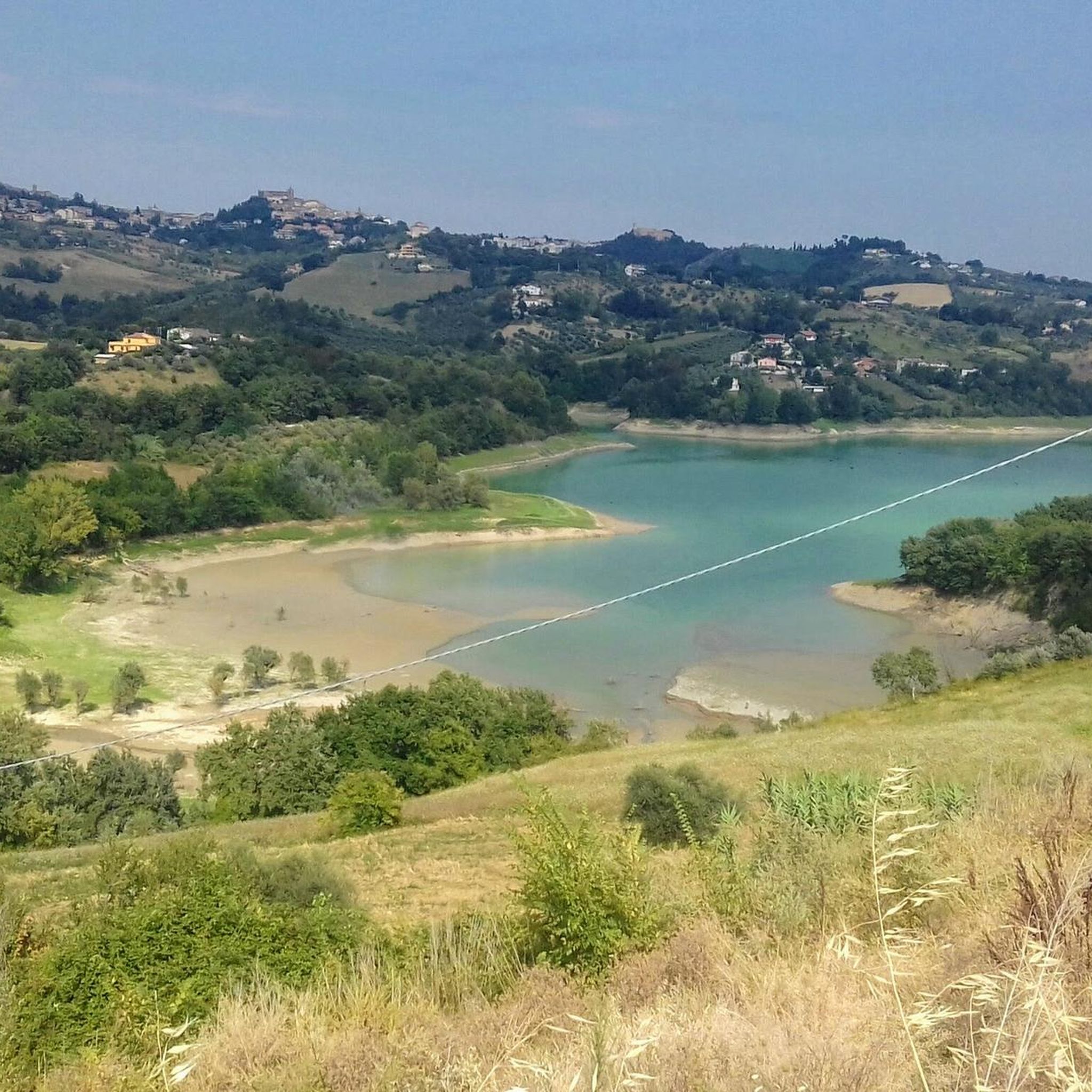
1960年代後半にTavo川にダムが建設されて人工貯水池として誕生したこの場所は、今日では真の自然の楽園へと発展しました。この湖は、この地域初のWWFオアシスの中心をなし、水、落葉樹林、湿地からなる変化に富んだ景観を提供しています。
4
0


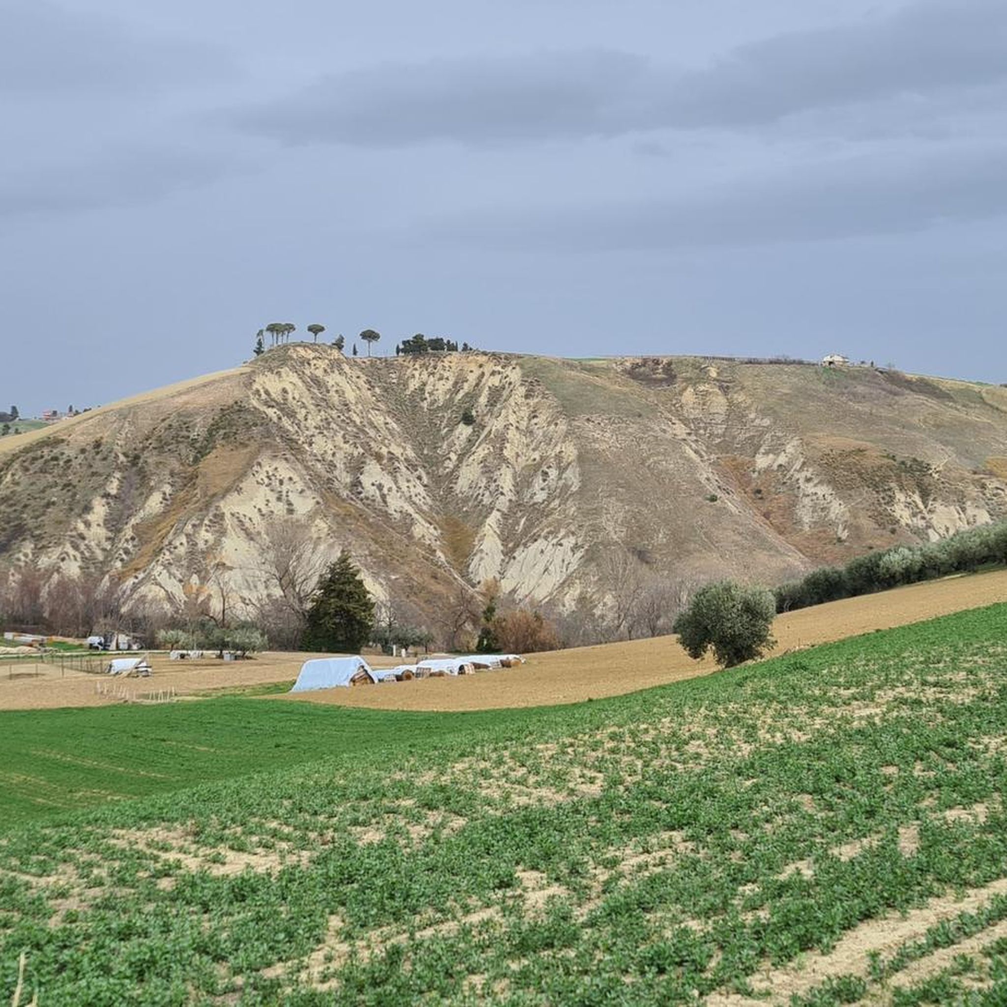
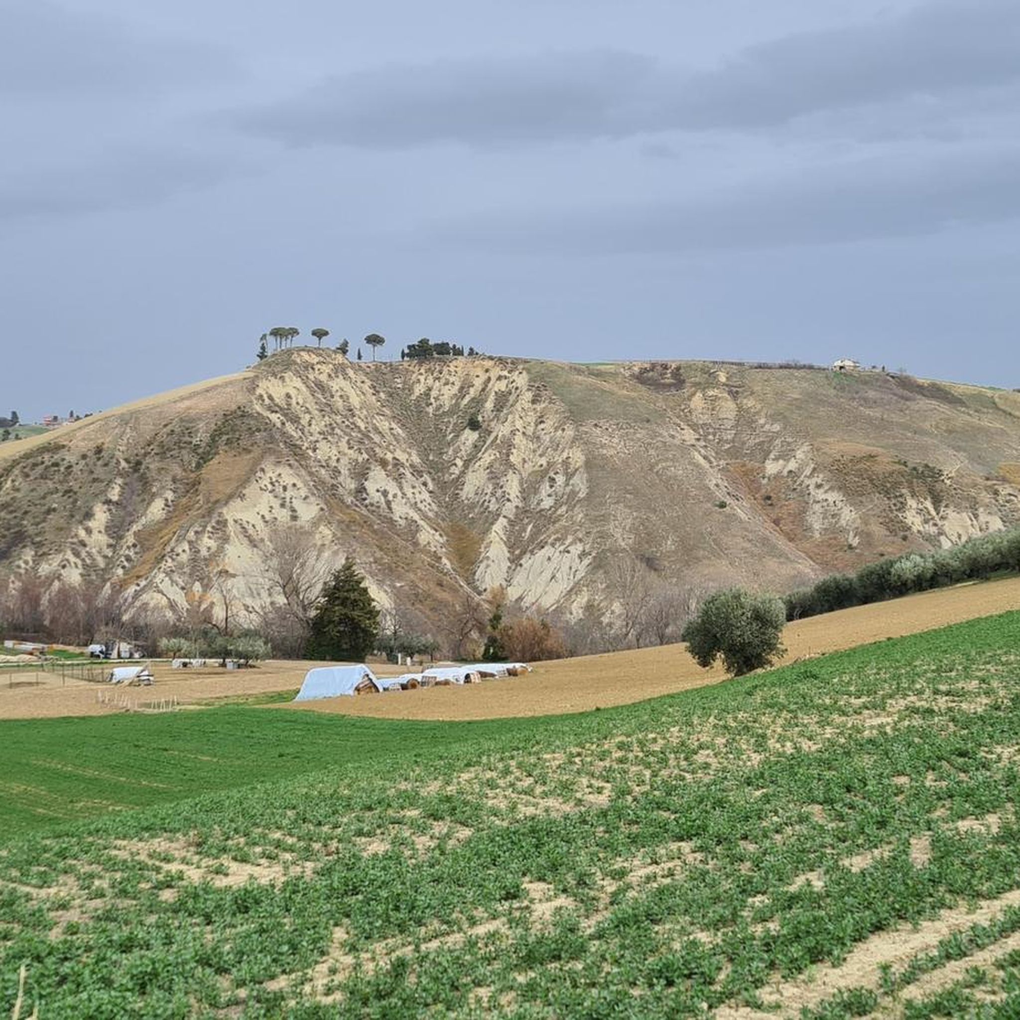
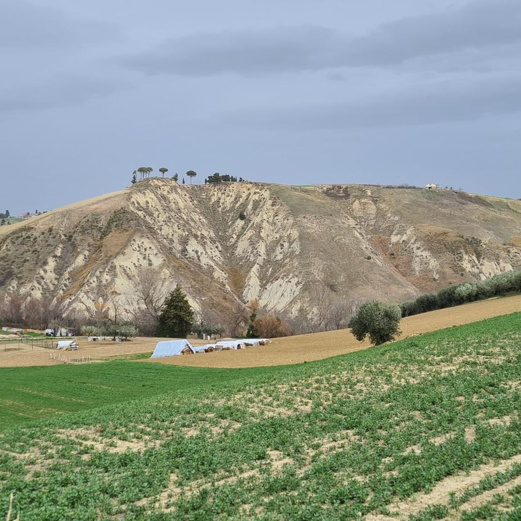
The village of Rosciano sits on the rolling hills of Abruzzo, dominated by a medieval tower that tells the story of centuries of history. The village is immersed in a landscape of vineyards, olive groves, and authentic traditions.
1
0

About 7km. by car from Villa Celiera (PE)
1
0

Sant'Andrea, in Rosciano, is the historic estate of the Marramiero winery
0
0

Monte Cappucciata is one of the peaks that make up the Gran Sasso massif, located in the Gran Sasso and Monti della Laga National Park.
0
0

Small ancient village in the province of Pescara.
0
0
ロレート・アプルティーノでのの人気観光スポット

komootモバイルアプリでインスピレーションを得よう


さらに探索
他の地域の最高のハイキングを見てみましょう。
