タルクイーニアのおすすめMTBライド
4.5
(65)
656
ライダー
67
ライド
タルクイーニア周辺には魅力的なマウンテンバイクルートがいくつもありますが、冒険を始めるにはその場所とルートを把握する必要があります。ここでは、komootが提供するタルクイーニア周辺でのマウンテンバイクルートのコレクション全体を評価して選び抜いた、人気ルートをご紹介します。各ライドの詳細をぜひご覧ください。
最終更新日: 10月 22, 2026
4.3
(8)
44
ライダー
49.4km
03:52
870m
880m
中程度のマウンテンバイクライド. ある程度のフィットネスレベルが必要です。
5.0
(3)
34
ライダー
42.9km
03:31
600m
600m
中程度のマウンテンバイクライド. ある程度のフィットネスレベルが必要です。

4.3
(3)
31
ライダー
70.4km
04:58
930m
930m
難しいマウンテンバイクライド. 標準以上のフィットネスレベルが必要です。
4.8
(6)
33
ライダー
39.2km
03:23
580m
580m
中程度のマウンテンバイクライド. ある程度のフィットネスレベルが必要です。
5.0
(2)
27
ライダー
60.6km
04:39
930m
930m
難しいマウンテンバイクライド. 標準以上のフィットネスレベルが必要です。
さらに多くのルートや他のユーザーのおすすめ情報を確認できます。
すでにアカウントをお持ちですか?
おすすめのツアーは他のkomootユーザーが実際に経験した何千ものアクティビティに基づいています。
無料アカウントで今日から始めよう
次の冒険が待っています。

コミュニティからのヒント

There was just a little bit of mud...
0
0

medium difficulty route. some rocky sections
0
0

Ruins of the old city of Cencelle
2
0
Cencelle the old Civitavecchia
2
0
It is a historic place where the old Civitavecchia-Orte railway passed
1
0
It is a place rich in history surrounded by wild nature
2
0

from Wiki: "According to what is reported in the Liber Pontificalis, the city was founded by Pope Leo IV on 15 August of the year 854 to give a safer seat to the citizens of Centumcellae (Civitavecchia) and the related diocese[1], being the city hit by the raids of the Saracens on the Tyrrhenian coast. According to his biographer, the pope gave the new city the name of Leopoli, but in all the documents, in the first centuries, the name of Centumcellae - civitas or castrum centumcellensis, later changed, is found in Centucelle - Cincelle - Cencelle. The new city was founded on a branch of the Via Aurelia, on an easily defensible hill between the Mignone river and its tributary Melledra, which had also been occupied in ancient times by the Etruscans. At the time of the foundation, the city walls were built, a first church, an episcopal seat, with an adjoining cemetery and wooden houses, later replaced by brick houses and buildings. The main church dedicated to Saint Peter was rebuilt larger between the end of the 11th and the beginning of the 12th century. The city was damaged by the earthquake of 1349 and the buildings were subsequently restored. It progressively declined and at the beginning of the 15th century the lands were, according to sources, "destroyed and uninhabited". In the second half of the fifteenth century the city area was used for the exploitation of the alum mines in the Tolfa mountains and in the seventeenth century it was probably the center of an agricultural company".
0
0

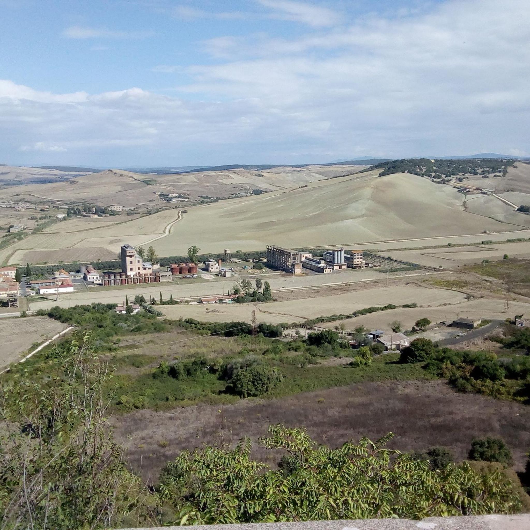
The village was born to house the miners who worked in the area. Here, in fact, alunite mines were discovered.
1
0
タルクイーニアでのの人気観光スポット

komootモバイルアプリでインスピレーションを得よう


さらに探索
他の地域の最高のMTBトレイルを見てみましょう。
