メルカントゥールの絶景の山頂・トップ19
絶景を目指して登るのであれ、達成感のために登るのであれ、山頂を訪れることで、メルカントゥールの美しい自然をもっと満喫することができます。19
もの選択肢の中から、制覇する山頂を決めるのは簡単ではありません。スムーズに次の冒険で目指す山頂を選べるように、メルカントゥールの素晴らしい山頂をこのガイドにまとめました。
最終更新日: 8月 31, 2026
ボネット山頂
ハイライト • 山頂
Even if you are up there with the bike ...
翻訳者 Google •
役立つ情報 は

Cime du Diable
ハイライト • 山頂
翻訳者 Google •
役立つ情報 は

今すぐサインアップして、こんな場所を発見しよう
最高のシングルトラック、ピーク、その他のエキサイティングなアウトドアスポットのおすすめを受け取ろう。
無料新規登録
ジャウジエからラ・ボネット山頂への登頂
ハイライト (セグメント) • 山道
翻訳者 Google •
役立つ情報 は

カン・デ・フーシュ軍事キャンプ
ハイライト • 歴史的な場所
翻訳者 Google •
役立つ情報 は

オヴラージュ・ド・ラ・フォルカ遺跡
ハイライト • 歴史的な場所
翻訳者 Google •
役立つ情報 は

無料でサインアップして、さらに多くの山を発見しましょう メルカントゥールでの。
無料新規登録
すでにアカウントをお持ちですか?
無料アカウントで今日から始めよう
次の冒険が待っています。
ログインまたは登録
メルカントゥール周辺で人気

ニッスからサン=テティアン=ド=ティネーまでのハイキング – ユーロパトレイル (GR 5)

Seven MTB routes in the Southern Alps – nature, passes and valleys
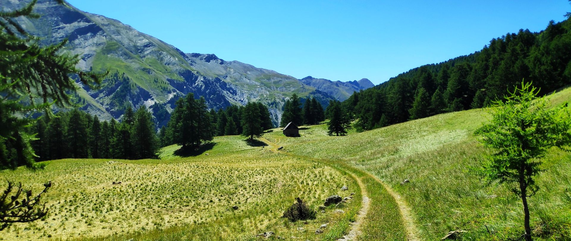
MTBユバイエ谷トール– La Transubayenne

サン=ティエン=ド=ティネからブリアンソンへのハイキング–ヨーロッパトレイル(GR 5)

メルカントゥール国立公園を横断する – GR 52

マウンテンとマーモット — フランスのウバイエトレイル (GR 56)

みみの影地エブックト — 15交の影山が 3000m アルパーが上です

MigrAction - ゴルークトの会调

フランス - 最高のハイキング2週間!

The most beautiful MTB and hiking tours in the French Maritime Alps
メルカントゥールでのの他の冒険


コミュニティからのヒント

The ring road around the mountain comes into view once more at the end. Steep sections lead to the highest point, the Cime de la Bonette. Accessible in one direction only!
0
0

abandoned building without water
0
0

Intriguing ghost town which actually includes the barracks of a former military camp
0
0

Going up the Col de la Bonette on its southern side, just over 7 km from the top of the pass, and once you have passed the most spectacular section with several hairpin bends, you reach this ghost town. It is a military complex built in 1888 and used as an army operations barracks during World Wars I and II. It is very well preserved thanks to the reconstruction work carried out in 2016 and 2018. It is worth stopping to take a look.
0
0

Col de la Bonette (2715 meters above sea level) is a mountain pass in the French Alps, near the border with Italy. It is located in the Mercantour National Park on the border of the departments of Alpes-Maritimes and Alpes-de-Haute-Provence. The road over the col is the seventh highest paved road in the Alps.
0
0

Camp des Fourches was part of a set of fortifications protecting the Ubaye valley from potential Italian attacks. This barracks in particular was used by Alpine hunters whose mission was to defend the Col des Fourches. The department wanted to preserve and highlight this work, in memory of the mountain troops who fought during the First and Second World Wars. On the site, a set of explanatory panels recount the history of this place.
2
0

It doesn't matter which vehicle you used to get to the ring road, you shouldn't skip the last 60 meters of altitude on foot!
0
0

The work and the barracks of La Forca are now ruins. They were built between January 1887 and November 1891 at a time of border tension. Its purpose was to monitor the Roya valley in order to control a possible invasion of troops from Italy. They come to replace an old Sardinian redoubt. The two buildings are located at the southern summit of the Massif de L'Authion at 2,078 meters above sea level. Besides this historic site, the climb to the top is worth doing just for the magnificent views.
1
0
メルカントゥールでのの人気観光スポット

komootモバイルアプリでインスピレーションを得よう


さらに探索
これらのガイドでさらに素晴らしい頂上を見てみましょうメルカントゥールでの:
