ポロニニのおすすめツーリングルート
4.8
(180)
1,423
ライダー
66
ライド
ポロニニ周辺で人気のサイクリングルートを走り、この自然公園の魅力を思いっきり満喫したい。そんなあなたのためにkomootおすすめのルートをまとめました。 ページを下にスクロールして、ポロニニ周辺でのバイクライドルートから気に入ったルートを選び、さっそく冒険に出かけましょう。
最終更新日: 10月 13, 2026
5.0
(4)
33
ライダー
55.4km
04:05
1,000m
1,010m
難しい自転車ライド. 標準以上のフィットネスレベルが必要です。 全般的に舗装された状態です。あらゆるスキルレベルに適しています。
4.7
(6)
57
ライダー
59.2km
04:21
1,100m
1,100m
難しい自転車ライド. 標準以上のフィットネスレベルが必要です。 全般的に舗装された状態です。あらゆるスキルレベルに適しています。

4.8
(14)
56
ライダー
27.8km
02:11
380m
380m
中程度の自転車ライド. ある程度のフィットネスレベルが必要です。 全般的に舗装された状態です。あらゆるスキルレベルに適しています。
5.0
(3)
39
ライダー
55.6km
03:35
730m
730m
難しい自転車ライド. 標準以上のフィットネスレベルが必要です。 全般的に舗装された状態です。あらゆるスキルレベルに適しています。
5.0
(1)
7
ライダー
88.1km
06:21
1,270m
1,270m
難しい自転車ライド. 標準以上のフィットネスレベルが必要です。 全般的に舗装された状態です。あらゆるスキルレベルに適しています。
さらに多くのルートや他のユーザーのおすすめ情報を確認できます。
すでにアカウントをお持ちですか?
おすすめのツアーは他のkomootユーザーが実際に経験した何千ものアクティビティに基づいています。
無料アカウントで今日から始めよう
次の冒険が待っています。
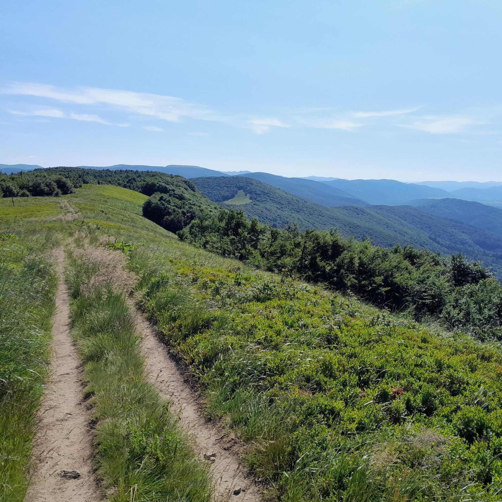

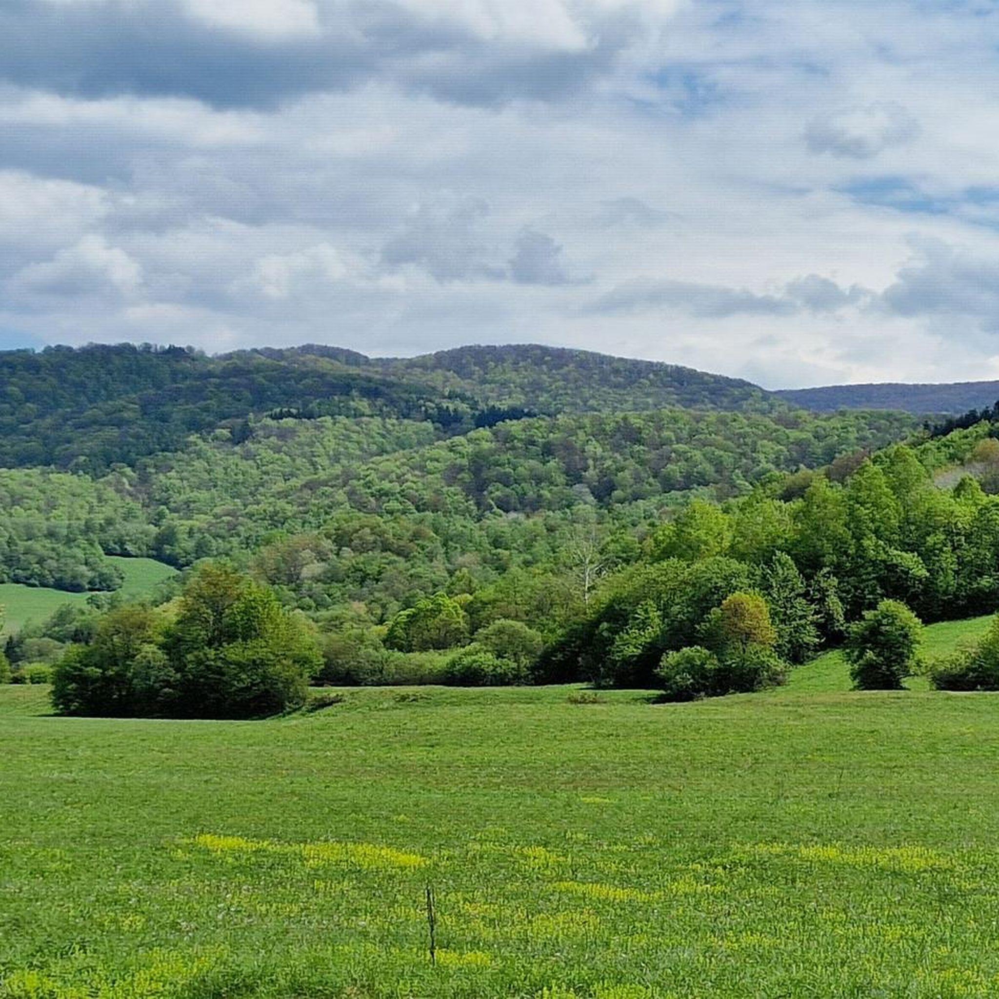
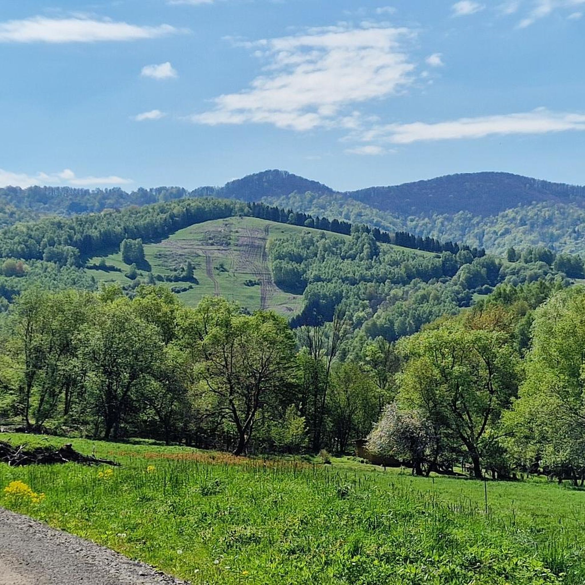

コミュニティからのヒント

詳細と写真はこちら: https://pl.wikipedia.org/wiki/Prze%C5%82%C4%99cz_nad_Roztokami_G%C3%B3rnymi https://mapa-turystyczna.pl/node/przelecz-nad-roztokami#49.14426/22.33040/14 https://goryaktywnie.pl/przelecz-nad-roztokami https://odtur.pl/atrakcje/cisna-przelecz-nad-roztokami-gornymi-55250.html
2
0


Greek Catholic wooden church of St. George, 1792, NKP On the slope above the village of Jalová, a small Greek Catholic church was built in 1792, sufficient for the number of inhabitants at that time. He was dedicated to St. to the great martyr Juraj. It was extensively repaired already in 1831. This temple also belonged to the so-called "a temple in a fur coat", it was plastered and whitewashed. In 2002, extensive repairs took place in the temple, it was completely restored, but no longer plastered
0
0
Wooden church of St. Michael the Archangel was built at the turn of the 17th and 18th centuries in the village of Topoľa. The temple of a log structure on a stone foundation is built on a slope and is surrounded by a cemetery. The three-room wooden church once stood at the lower end of the village, but in 1780 it was moved above the village of Topoľa, from where there is a beautiful view of the surroundings. The wooden temple has a massive roof in the shape of a truncated pyramid and has only one tower with a three-armed cross. The church bells are currently located in the brick church. The iconostasis from the middle of the 18th century is extremely valuable. It has a four-row architecture and a variety of colors. Part of the area is an empty wooden belfry, which was built in the 20th century. In the vicinity of the church there is a military cemetery that was established in 1917. 240 soldiers of the 44th Infantry Division of General Ziegler's 2nd Austro-Hungarian Army are buried in the cemetery.
0
0

Border crossing between Poland and Slovakia
0
0

Approximately 200-300 m of asphalt exit to the Slovak side. Then a road paved with flat stones begins
0
0

Artificial water reservoir. It looks picturesque, but is of little use to tourists. It is not suitable for bathing, and the cloudy water is definitely not suitable for drinking.
1
0
A shelter with a fireplace and several educational boards. There is a retention reservoir nearby, but the water in it is dirty and there is not even a convenient exit. For tourist purposes, the reservoir is basically useless.
1
0
ポロニニでのの人気観光スポット

komootモバイルアプリでインスピレーションを得よう


さらに探索
他の地域の最高のサイクリングルートを見てみましょう。
