プラッテンブルクのおすすめライド
4.5
(75)
991
ライダー
85
ライド
プラッテンブルク周辺でのロードバイクライドをお考えですか?komootはプラッテンブルク周辺のあらゆるロードバイクライドを評価し、人気ルートを厳選しました。プラッテンブルク周辺の各ロードバイクルートの詳細をご覧になり、自分に合ったルートを見つけてください。
最終更新日: 9月 4, 2026
4.5
(4)
37
ライダー
46.9km
01:59
80m
80m
中程度のロードライド. あらゆるフィットネスレベルに適しています。 ツアーの一部に、未舗装のため走行が難しい箇所があるかもしれません。
4.8
(4)
33
ライダー
中程度のロードライド. ある程度のフィットネスレベルが必要です。 ツアーの一部に、未舗装のため走行が難しい箇所があるかもしれません。

5.0
(1)
22
ライダー
22.1km
01:02
60m
60m
中程度のロードライド. あらゆるフィットネスレベルに適しています。 ツアーの一部に、未舗装のため走行が難しい箇所があるかもしれません。
13
ライダー
40.4km
01:40
160m
160m
初級者向けロードバイクライド. あらゆるフィットネスレベルに適しています。 全般的に舗装状態が良好で走行しやすい道です。
5.0
(1)
15
ライダー
37.3km
01:45
50m
50m
中程度のロードライド. あらゆるフィットネスレベルに適しています。 ツアーの一部に、未舗装のため走行が難しい箇所があるかもしれません。
さらに多くのルートや他のユーザーのおすすめ情報を確認できます。
すでにアカウントをお持ちですか?
おすすめのツアーは他のkomootユーザーが実際に経験した何千ものアクティビティに基づいています。
無料アカウントで今日から始めよう
次の冒険が待っています。
プラッテンブルクでのの他の冒険

コミュニティからのヒント

自転車道は、特に道路交通のため、好ましいです。アスファルトはRRで完全に走行可能です。
0
0

この地域では、水位や洪水リスクの異なるさまざまな水路に対応するため、いくつかの非常に強力な堰が必要です。ここもそうです。素晴らしい技術です!
0
0
短い区間は道路を走る必要があります。しかし、問題ありません。交通量は少なく、路面も良く、それほど長くはありません。
0
0

A beautiful little church and the highlight of Helle.
0
0

The bridge over the Stepenitz is an important crossing just before the river flows into the Elbe. It connects central urban areas with adjacent residential and recreational areas and is used by vehicular traffic, pedestrians, and cyclists. Its location in the river and floodplain landscape offers unobstructed views of the Stepenitz and the surrounding countryside. It is a defining element of Wittenberge's cityscape.
1
0
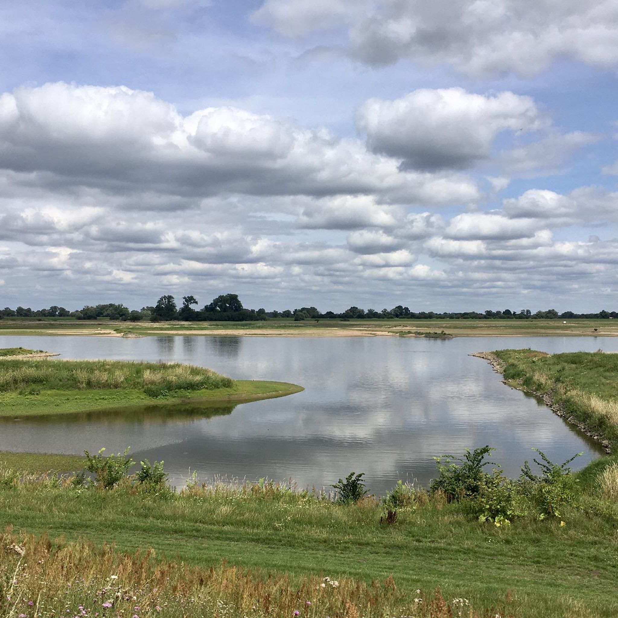
At the weir group near Quitzdöbel, the Elbe, Havel, and Gnevsdorder outflowing waters converge. From here, there is a good view of the Havel estuary.
2
0
Initially, the road is paved with interlocking concrete slabs, but the road is easy to ride. Then, it's a perfect glide along the top of the dike with excellent asphalt. Plus, the view of the Elbe and Havel rivers, as well as the beautiful floodplain landscape. A great section.
3
0
From the lock, you can already see the first confluence of the Elbe and Havel rivers (connecting canal). From here, you continue on the approximately 20 km long section of the Havel Cycle Path, where you're accompanied by water on both sides: the Elbe on the left, the Havel on the right, and then the Gnevsdorf Outfall.
2
0
プラッテンブルクでのの人気観光スポット

komootモバイルアプリでインスピレーションを得よう


さらに探索
他の地域の最高のロードサイクリングルートを見てみましょう。
