マジョナのおすすめ登山&山歩きルート
4.8
(21)
81
ハイカー
15
ハイキング
ラ・ゴメラ島(Isla De La Gomeraの山々をもっと探索しませんか?このガイドでご紹介するのは、komootがマジョナでの登山&山歩きのコレクション全体を評価して選び抜いた、このエリアの人気ルートです。あなたに合ったルートを見つけるには、他のユーザーがアップロードした役立つ情報や写真を閲覧し、クリック操作で簡単に表示できる詳細なデータを参考にしましょう。マジョナでの次の冒険にぴったりの登山&山歩きルートが見つかるはずです。
最終更新日: 9月 8, 2026
5.0
(2)
9
ハイカー
9.26km
03:46
630m
630m
中程度の登山ルート. ある程度のフィットネスレベルが必要です。 全般的に進みやすいルートです。安定して歩行できる技術が必要です。
5.0
(2)
9
ハイカー
8.33km
03:39
600m
600m
中程度の登山ルート. ある程度のフィットネスレベルが必要です。 全般的に進みやすいルートです。安定して歩行できる技術が必要です。

5.0
(1)
4
ハイカー
13.2km
05:12
730m
730m
難しい登山ルート. 標準以上のフィットネスレベルが必要です。 全般的に進みやすいルートです。安定して歩行できる技術が必要です。
3
ハイカー
12.2km
05:00
770m
760m
難しい登山ルート. 標準以上のフィットネスレベルが必要です。 全般的に進みやすいルートです。安定して歩行できる技術が必要です。
4.3
(3)
7
ハイカー
6.48km
02:57
500m
500m
中程度の登山ルート. ある程度のフィットネスレベルが必要です。 全般的に進みやすいルートです。安定して歩行できる技術が必要です。
さらに多くのルートや他のユーザーのおすすめ情報を確認できます。
すでにアカウントをお持ちですか?
おすすめのツアーは他のkomootユーザーが実際に経験した何千ものアクティビティに基づいています。
無料アカウントで今日から始めよう
次の冒険が待っています。
コミュニティからのヒント

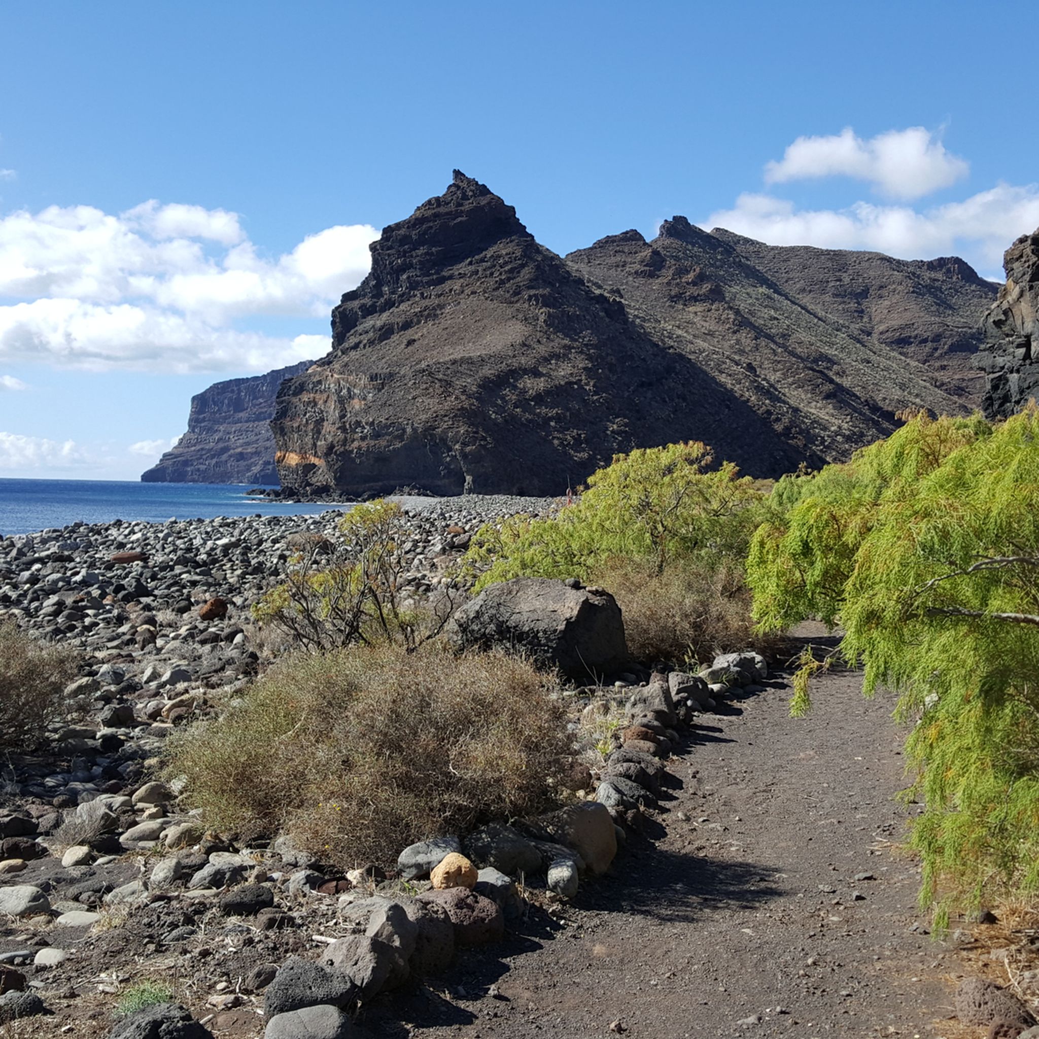
エル・ロケ・デ・アガンドは、ラ・ゴメラ島で最も象徴的で写真に撮られている岩石の形成物でしょう。それは、何百万年もの浸食の後、露出した非常に抵抗力のある岩石によって形成された巨大な火山岩栓です。他の火山地形が徐々に消えていく中、この巨大な針のような岩は立ち続け、島の中心部の全景を支配していました。 標高約1.250メートルにそびえ立ち、ガラホナイの大部分から見える一連の火山岩の一部を形成しています。その垂直で孤立したシルエットは、特に霧に包まれたり、低い太陽に照らされたりすると、ほとんど非現実的な外観を与えます。このロケのそばを通る道は、ラ・ゴメラ島で最も壮観なものの一つと考えられており、景色を眺めるために立ち止まる定番の場所です。 かつてのラ・ゴメラ島の住民にとっても、象徴的および領土的な重要性を持っており、今日でも島の偉大な自然の象徴の一つであり続けています。暗い岩、緑の渓谷、低い雲のコントラストは、カナリア諸島で最も認識されているイメージの一つを生み出しています。
2
0

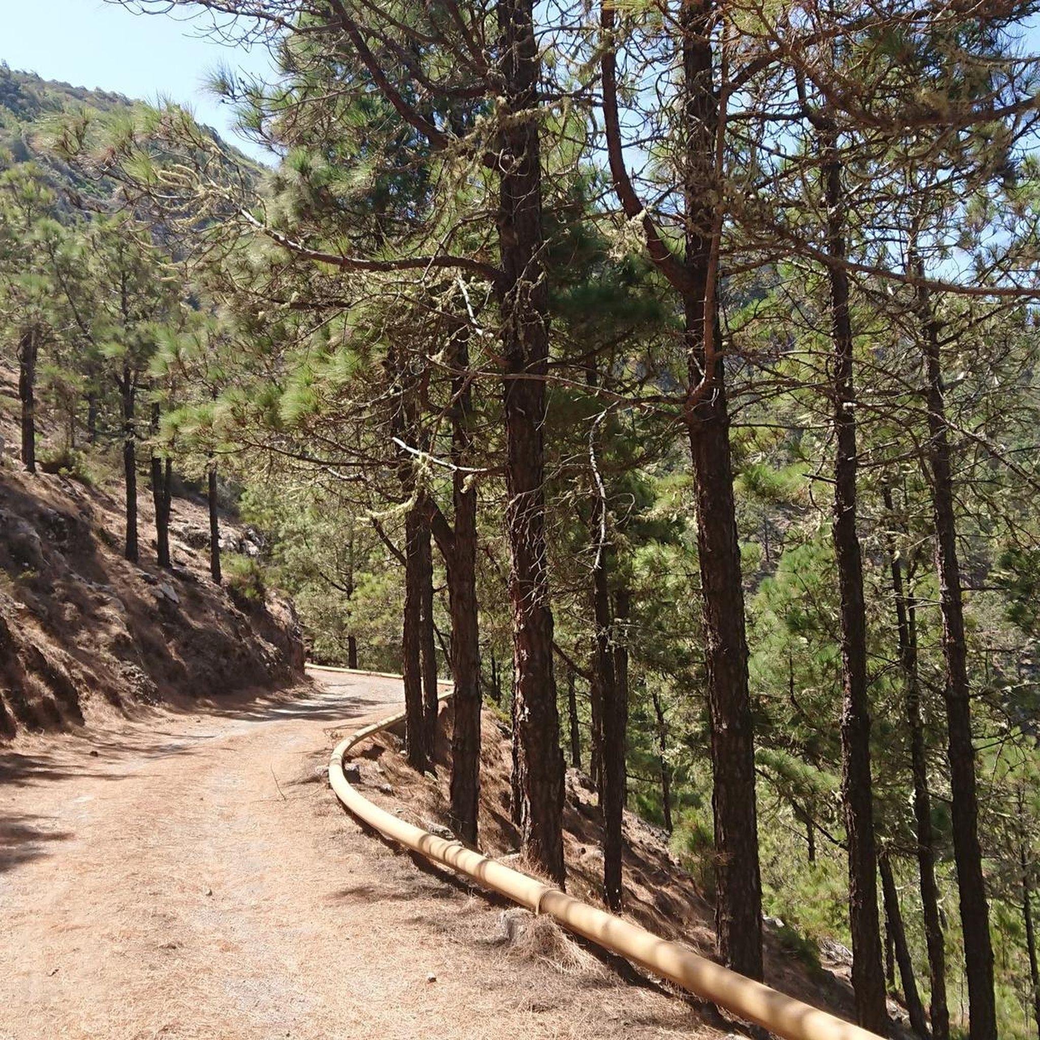
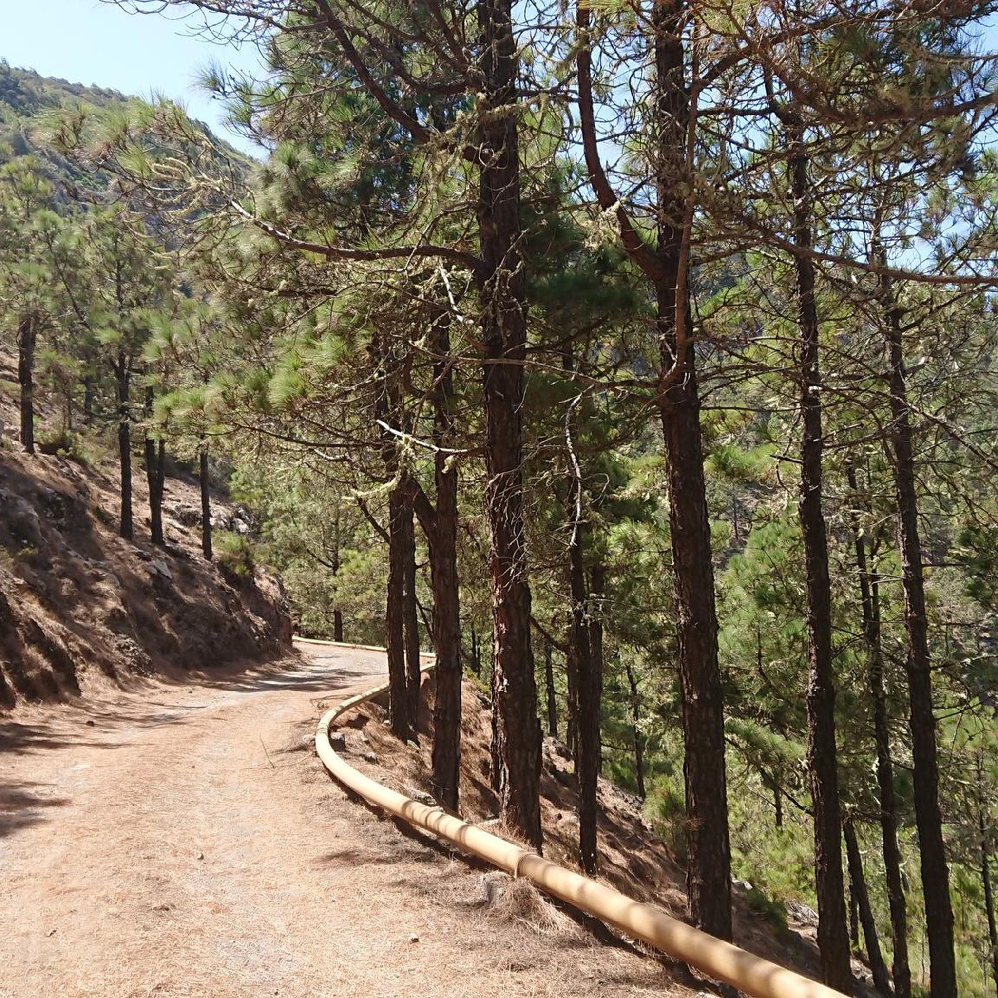
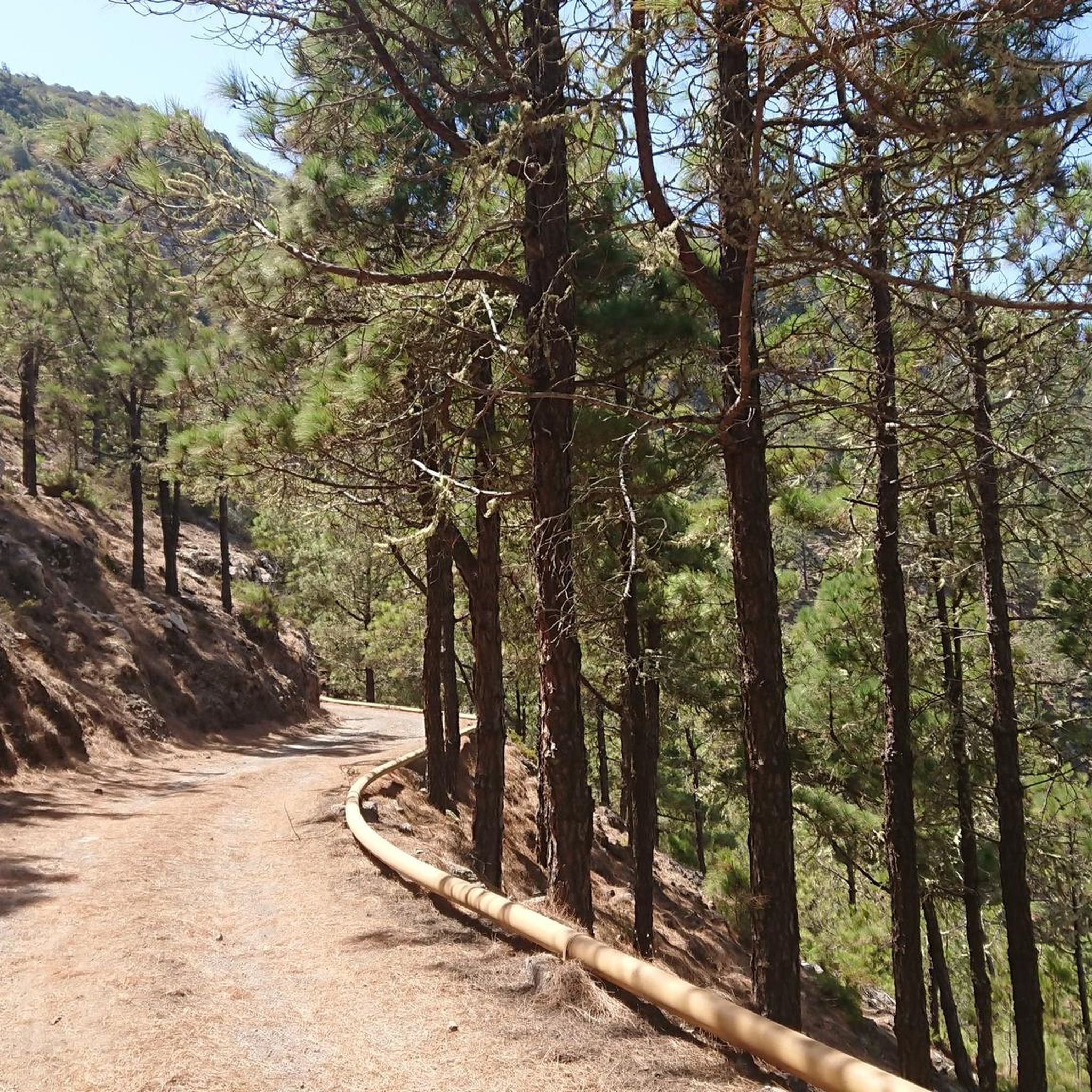
途中、さまざまな種類の土壌に遭遇します。非常に変化に富んでいます。
0
0

A beautiful photo opportunity at a "lost place"—it's always surprising how a house was built here in the middle of nowhere (okay, there must have been water). This gives you an idea of how arduous life used to be (but perhaps happier in nature).
0
0
A nice place to take a break, with a great view.
0
0

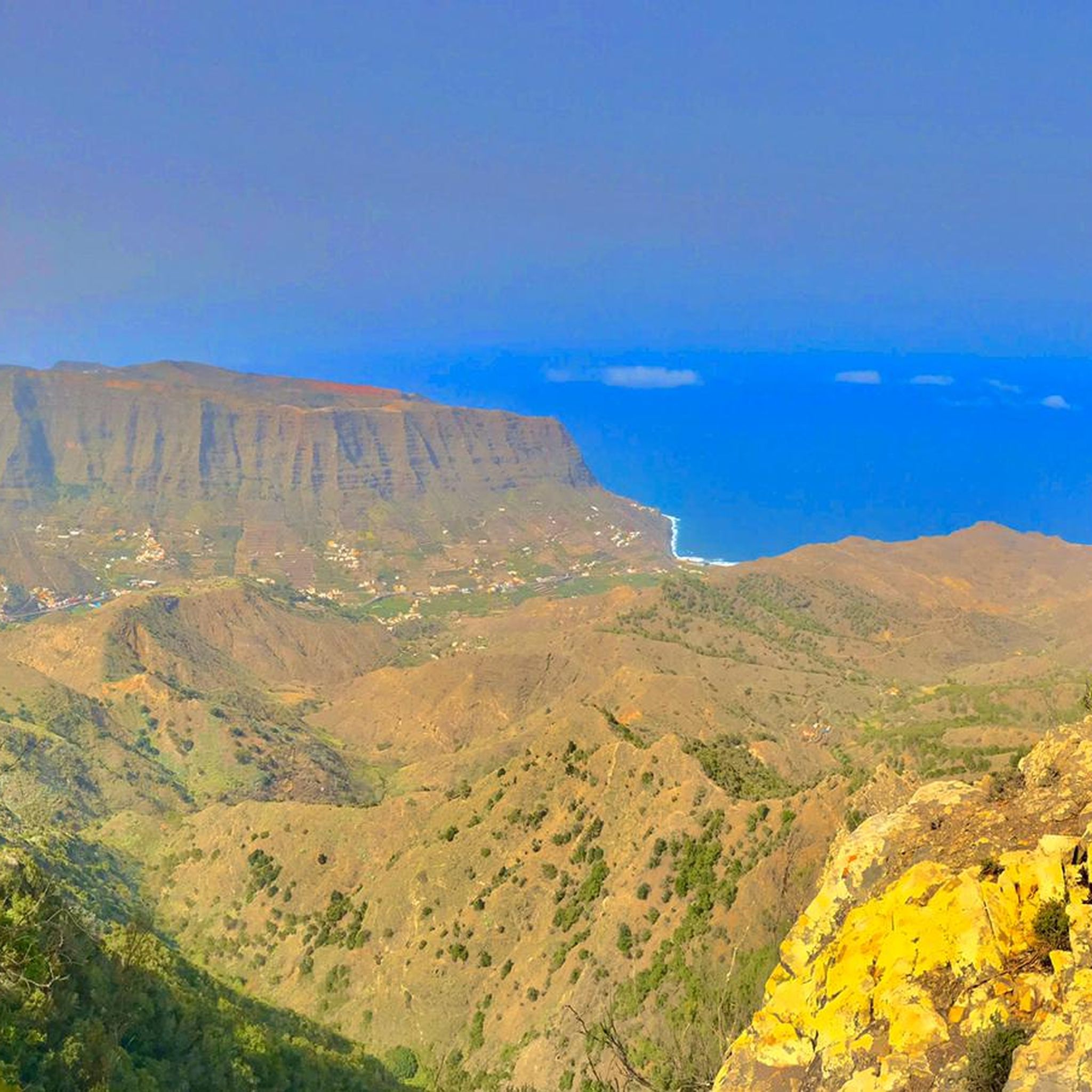
A glass skywalk above a 600-meter-high wall. View of Agulo like a miniature village, plus the Atlantic Ocean and Teide panorama.
2
0

Agulo – the charming northeastern village of La Gomera The village of Agulo is located on the north coast of La Gomera, at an altitude of approximately 400–500 meters. It is one of the island's best-preserved traditional villages, with narrow cobbled streets, colorful houses, and ocean views. What to see and do Walks: Agulo is an excellent starting point for hikes into the surrounding hills, through valleys, and along red-earth terraced paths. Routes range from short walks to day hikes into the laurel forests of Garajonay National Park. Viewpoints: Visit the Mirador de Abrante for panoramic views of the village, the coast, and the green valleys. Local culture: Discover small craft shops, traditional farms, and terraces where you can sample local products such as honey, cheese, and wine.
0
1
マジョナでのの人気観光スポット

komootモバイルアプリでインスピレーションを得よう


さらに探索
他の地域の最高の登山ハイキング & ルートを見てみましょう。
