ベッルーノドロミテ国立公園のおすすめツーリングルート
4.6
(2468)
26,693
ライダー
738
ライド
ベッルーノドロミテ国立公園周辺で人気のサイクリングルートを走り、この自然公園の魅力を思いっきり満喫したい。そんなあなたのためにkomootおすすめのルートをまとめました。 ページを下にスクロールして、ベッルーノドロミテ国立公園周辺でのバイクライドルートから気に入ったルートを選び、さっそく冒険に出かけましょう。
最終更新日: 8月 30, 2026
4.8
(6)
89
ライダー
21.6km
02:44
960m
960m
This difficult 13.4-mile touring cycling route from Croce d'Aune to Rifugio Dal Piaz offers stunning Dolomiti Bellunesi views.
32
ライダー
33.4km
02:20
630m
630m
難しい自転車ライド. 標準以上のフィットネスレベルが必要です。 全般的に舗装された状態です。あらゆるスキルレベルに適しています。

無料新規登録
5.0
(1)
32
ライダー
29.5km
02:13
740m
730m
難しい自転車ライド. 標準以上のフィットネスレベルが必要です。 全般的に舗装された状態です。あらゆるスキルレベルに適しています。
3
ライダー
7.55km
00:48
250m
260m
中程度の自転車ライド. ある程度のフィットネスレベルが必要です。 全般的に舗装された状態です。あらゆるスキルレベルに適しています。
5
ライダー
83.1km
05:45
1,410m
1,410m
難しい自転車ライド. 標準以上のフィットネスレベルが必要です。 全般的に舗装された状態です。あらゆるスキルレベルに適しています。
さらに多くのルートや他のユーザーのおすすめ情報を確認できます。
無料新規登録
すでにアカウントをお持ちですか?
おすすめのツアーは他のkomootユーザーが実際に経験した何千ものアクティビティに基づいています。
無料アカウントで今日から始めよう
次の冒険が待っています。
ログインまたは登録


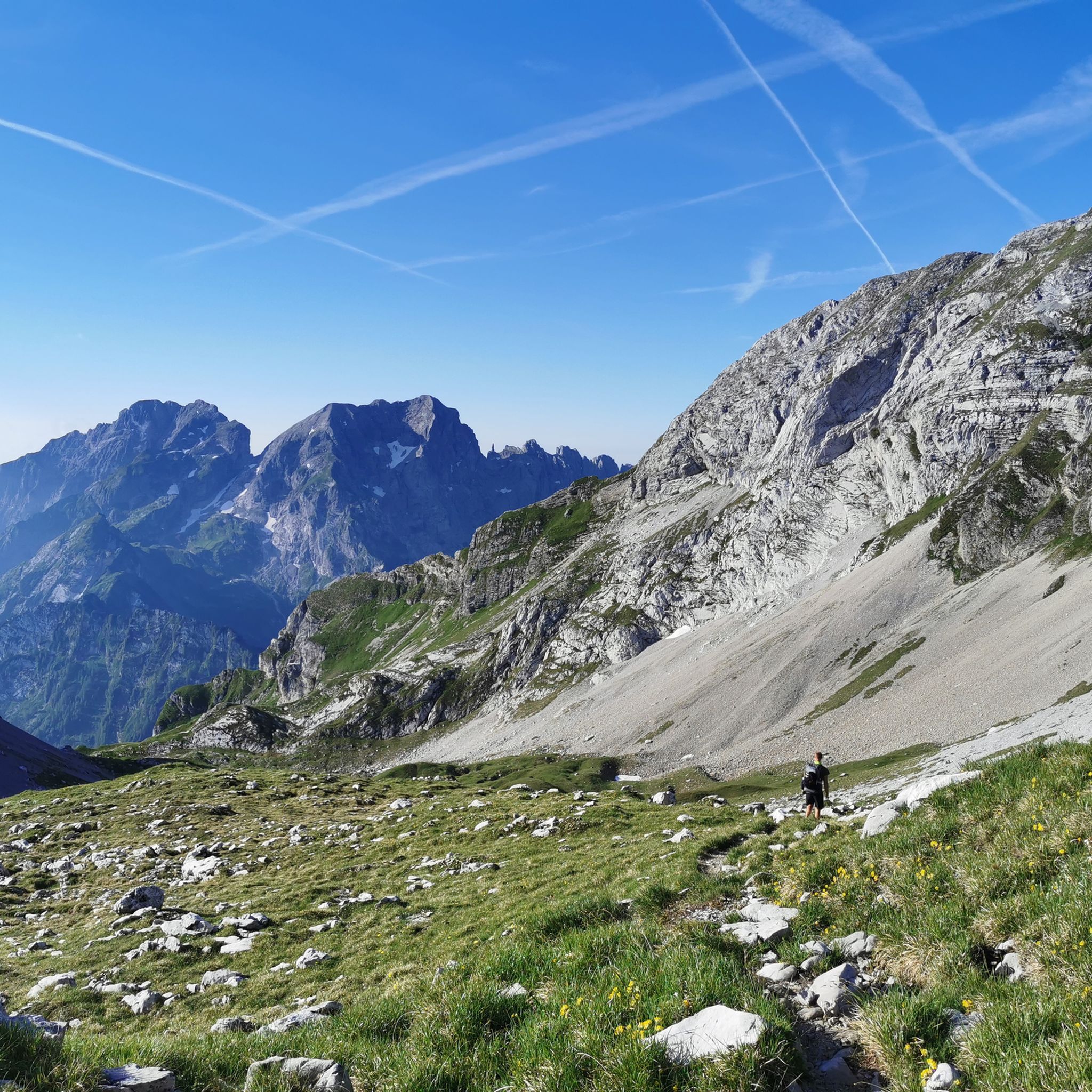
ベッルーノドロミテ国立公園でのの他の冒険


コミュニティからのヒント

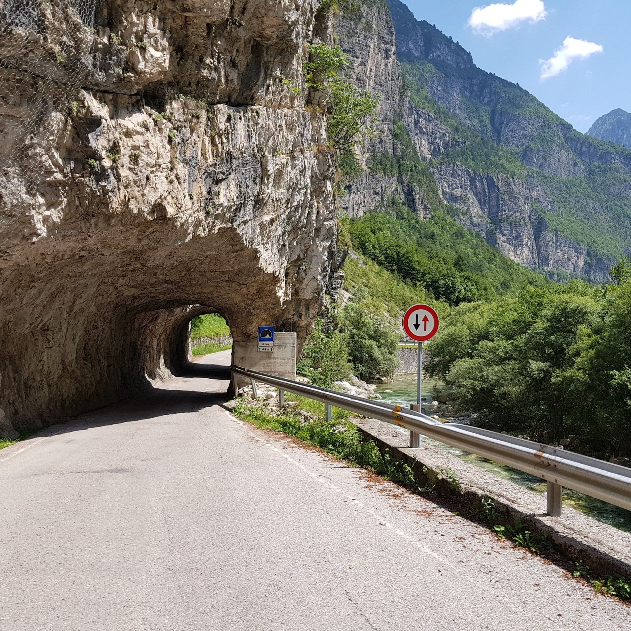
このトラックを歩いた方に質問です。トンネルはありますか?もしあれば、長いですか?そして、まだ照らされていますか?答えてくれる方に感謝します…
0
0

A cycle path connecting Belluno with Ponte nelle Alpi... a short stretch, but we hope it will be improved.
0
0

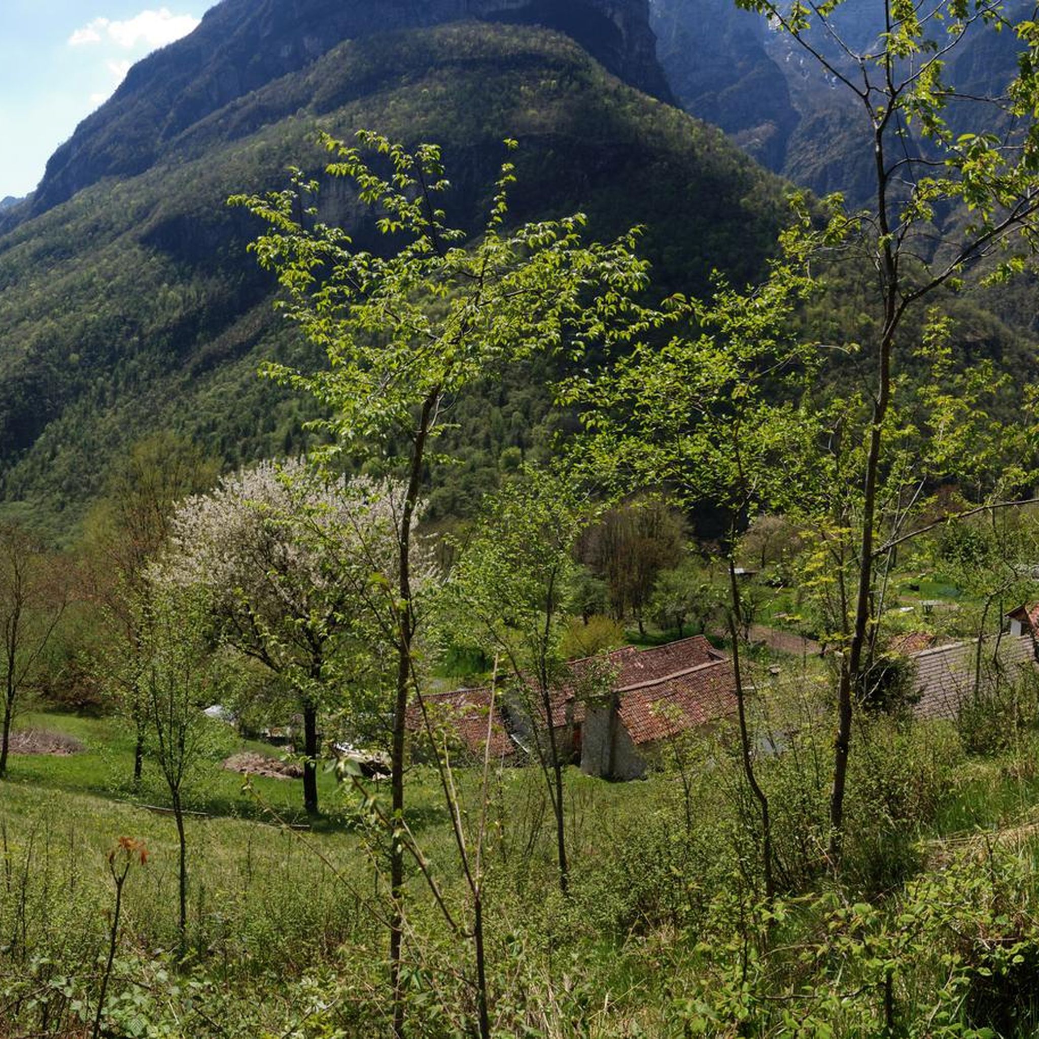
Overlooking the street, this old building is an example of traditional rural architecture, characterized by simple lines and the use of natural materials.
0
0

Long but beautiful mule track carved out of the rock
0
0

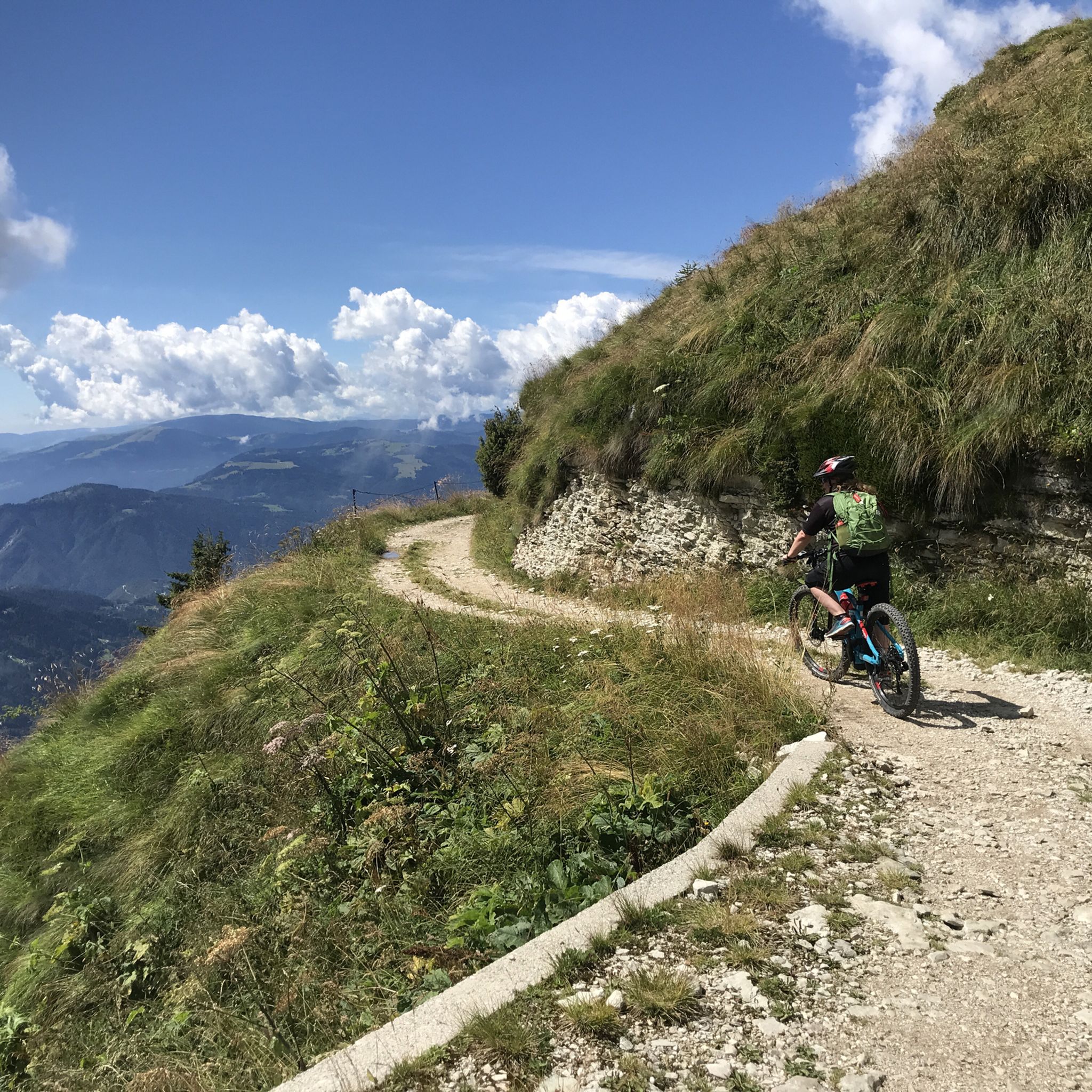
A long military road, about 9 km long, with an elevation gain of about 900 meters, it connects the Croce d'Aune Pass with the Dal Piaz refuge. It has a moderate gradient and can be ridden by mountain bike. Some technique is required as it is very rocky and exposed in some sections. Its width, however, provides a sense of calm. Be careful not to overspeed on the descent; the descent puts considerable strain on your arms. Numerous trails lead from the Dal Piaz refuge to the valleys and peaks of the Feltrine Alps.
0
0


beautiful road along the Mis Torrent
0
0
The legendary Passo Cervo!
0
0
ベッルーノドロミテ国立公園でのの人気ルート
ベッルーノドロミテ国立公園でのの人気観光スポット

komootモバイルアプリでインスピレーションを得よう


さらに探索
他の地域の最高のサイクリングルートを見てみましょう。
