オンタリオのおすすめウォーキング&ハイキングルート
4.6
(3412)
32,868
ハイカー
2,101
ハイキング
オンタリオでのハイキングに出かけて、カナダのこのエリアを探索してみませんか?このガイドでご紹介するのは、komootがオンタリオでのハイキング・ウォーキングルートのコレクション全体を評価して選び抜いた、このエリアの人気ハイキングルートです。あなたに合った でのハイキングを見つけるには、他のユーザーがアップロードした役立つ情報や写真を閲覧し、各ルートに関するみんなの意見やコメントを参考にしましょう。
最終更新日: 10月 5, 2026
4.7
(190)
1,137
ハイカー
7.91km
02:16
180m
180m
中程度のハイキング. ある程度のフィットネスレベルが必要です。 進みやすいルートです。あらゆるスキルレベルに適しています。
4.9
(47)
370
ハイカー
6.11km
01:42
120m
120m
初級者向けハイキング. あらゆるフィットネスレベルに適しています。 進みやすいルートです。あらゆるスキルレベルに適しています。

4.6
(42)
245
ハイカー
8.92km
02:23
100m
100m
中程度のハイキング. ある程度のフィットネスレベルが必要です。 進みやすいルートです。あらゆるスキルレベルに適しています。
4.3
(38)
228
ハイカー
2.31km
00:37
30m
30m
Hike the Two Rivers Trail in Algonquin Provincial Park, an easy 1.4-mile loop offering woodlands and views of the North Madawaska River.
4.5
(15)
195
ハイカー
3.05km
00:54
90m
90m
初級者向けハイキング. あらゆるフィットネスレベルに適しています。 進みやすいルートです。あらゆるスキルレベルに適しています。
4.7
(11)
141
ハイカー
10.7km
02:56
160m
160m
中程度のハイキング. ある程度のフィットネスレベルが必要です。 進みやすいルートです。あらゆるスキルレベルに適しています。
4.2
(5)
136
ハイカー
15.5km
03:59
60m
60m
中程度のハイキング. ある程度のフィットネスレベルが必要です。 進みやすいルートです。あらゆるスキルレベルに適しています。
4.8
(13)
82
ハイカー
13.3km
03:21
20m
20m
中程度のハイキング. ある程度のフィットネスレベルが必要です。 進みやすいルートです。あらゆるスキルレベルに適しています。
4.7
(14)
89
ハイカー
16.3km
04:20
170m
180m
中程度のハイキング. ある程度のフィットネスレベルが必要です。 進みやすいルートです。あらゆるスキルレベルに適しています。
5.0
(15)
113
ハイカー
6.26km
01:40
70m
70m
Hike the easy 3.9-mile Sixteen Mile Creek Trail loop in Lions Valley Park, enjoying scenic creek views and peaceful forest paths.
さらに多くのルートや他のユーザーのおすすめ情報を確認できます。
すでにアカウントをお持ちですか?
おすすめのツアーは他のkomootユーザーが実際に経験した何千ものアクティビティに基づいています。
オンタリオでのの他の冒険


コミュニティからのヒント

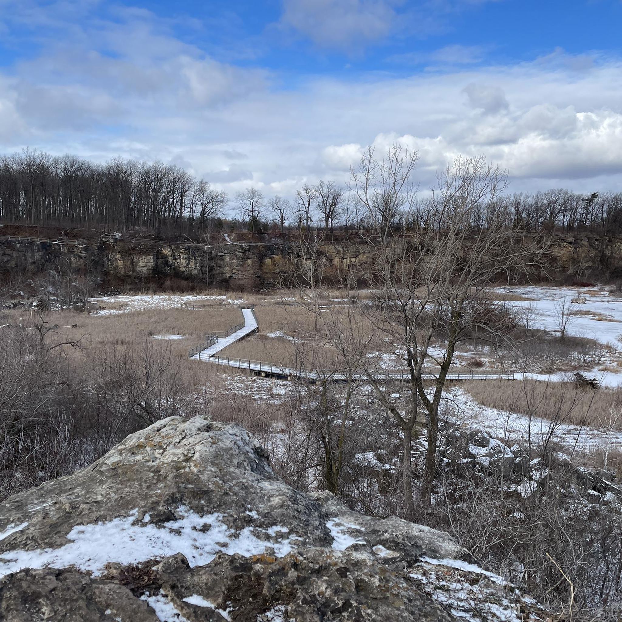
Crawford Lakeは、一見したところよりもはるかに珍しい場所です。その上層と下層の水は完全に混ざり合うことがなく、珍しいメロミクティック湖となっています。また、湖底に毎年堆積する堆積層は、信じられないほど詳細な環境記録を保存しています。新しく再建された遊歩道が現在、湖岸を一周しており、湖の生態学、科学的重要性、先住民の歴史を説明する解説板が設置されています。
0
0

現在の開発地は、1800年代に埋め立てられるまで、かつてトロントの内港の一部でした。1940年代初頭から、歴史的なトロント郵便配達ビルがこの場所にありました。アリーナが1990年代後半に建設されたとき、元の郵便ビルは保存され、新しい構造に統合されました。 アリーナは1999年初頭にエア・カナダ・センターとしてオープンし、2018年半ばにバンク・オブ・ノヴァ・スコシアとの契約により、スコシアバンク・アリーナに改名されました。 18,000席のアリーナはユニオン駅に直接接続されており、トロント・メープル・リーフス(NHL)とトロント・ラプターズ(NBA)の本拠地です。 ソース: https://www.scotiabankarena.com/venue-information/about/history
0
0
東側の張り出した岩にある展望台からは、遠くに広がる森とマニトゥー湖を見渡すことができます。壮大な崖の景色はハイキングのハイライトになります。 (2026年5月21日訪問)
1
0
ナイアガラ断崖の西側の岩層にあるカップ&ソーサー・レッドトレイルからは、森の向こう、ノースチャンネルまで素晴らしい景色が望めます。 岩のすぐ下、ビドウェルロードがハイウェイ540に合流する南側には、民間の会社の採石場があります。 (2026年5月21日訪問)
1
0
サウス・ループは、約2.5キロメートル南にわたって崖沿いに伸びています。途中、いくつかの場所から岩棚に出て、東に広がる広葉樹林と、遠くのメニトゥー湖を見渡すことができます。 (2026年5月21日訪問)
1
0

メインのライオンズヘッド展望台からは、ターコイズブルーのジョージアン湾、切り立った石灰岩の崖、そして眼下に広がる険しい海岸線の壮大な景色が楽しめます。特に天気の良い日は混雑しますが、人々が訪れるのには理由があります。ここはカナダで最も壮観な崖の展望台の一つです。
0
0
ライオンズヘッド・ポイントはオンタリオ州の息をのむような景観の一つで、ターコイズブルーのジョージアン湾がそびえ立つ石灰岩の断崖の下に広がっています。道中、何千年もの歳月をかけて形成された巨大なポットホールや洞窟のような地形など、岩石の古代の地質学的特徴に注目してください。森、石、そして開けた水面が、忘れられない方法でここで一つになっています。
0
0
マッケイ港には、ジョージアン湾の青い海を見渡す、隠れ家のような岩場のビーチがあります。下りは急で険しく、大変なので、時間に余裕を持って、登り返しの体力を温存しておきましょう。頂上からでも、港の景色はこの場所を思い出深い立ち寄り地にしてくれます。
0
0

komootモバイルアプリでインスピレーションを得よう


探していたものは見つかりませんでしたか?
オンタリオの下にある他のハイキングをチェックして、目的地で完璧なルートを見つけましょう。
さらに探索
他の地域の最高のハイキングを見てみましょう。
