ルート

プランナー

機能

アップデート

App

ログインまたはサインアップ

アプリを入手

ログインまたはサインアップ

ログインまたはサインアップ

ルート
ハイキング
ドイツ
バイエルン
ウンターフランケン
ヴュルツブルク

オクゼンフルト

オクゼンフルトのおすすめウォーキング&ハイキングルート

4.5

(5611)

25,530

ハイカー

165

ハイキング

オクゼンフルト 周辺でおすすめのハイキングやウォーキングを楽しんでいただけるように、このエリアの小径やルートを集めたkomootコレクション全体を見直しました。 以下で各ルートの詳細をご覧になり、オクゼンフルト周辺の大自然を満喫する際の参考にしてください。

最終更新日: 5月 20, 2026

4.7

(244)

856

ハイカー

#1.

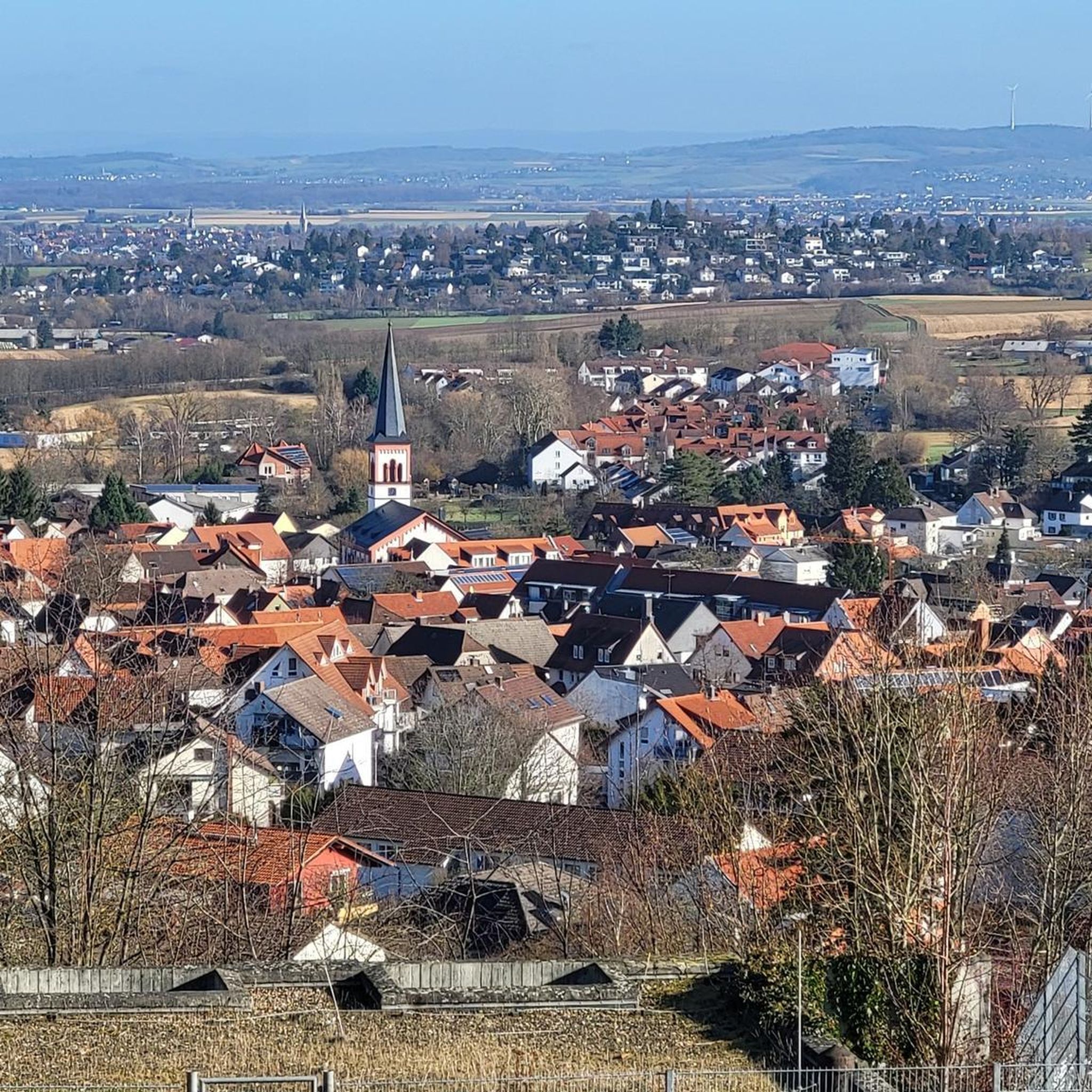
Maintalhang Kleinochsenfurter Bergから出発する ゾンマーハウゼンの眺め – ゾンマーハウゼン・パノラマトレイル ループコース

9.88km

02:40

130m

130m

中程度のハイキング. ある程度のフィットネスレベルが必要です。 進みやすいルートです。あらゆるスキルレベルに適しています。

デバイスでナビ

スマートフォンに送信

保存

中程度

中程度のハイキング. ある程度のフィットネスレベルが必要です。 進みやすいルートです。あらゆるスキルレベルに適しています。

中程度
guide_signup
私たちがkomootモバイルアプリで道を示します
無料の komoot アカウントがあれば、無限のアウトドアコースを簡単に見つけてカスタマイズし、ナビで案内できます。

無料新規登録

中程度のハイキング. ある程度のフィットネスレベルが必要です。 進みやすいルートです。あらゆるスキルレベルに適しています。

中程度

中程度のハイキング. ある程度のフィットネスレベルが必要です。 進みやすいルートです。あらゆるスキルレベルに適しています。

中程度

中程度のハイキング. ある程度のフィットネスレベルが必要です。 進みやすいルートです。あらゆるスキルレベルに適しています。

中程度
無料新規登録すると、オクゼンフルトでのでのハイキングをさらに161件ご覧いただけます。

さらに多くのルートや他のユーザーのおすすめ情報を確認できます。

無料新規登録

すでにアカウントをお持ちですか?

おすすめのツアーは他のkomootユーザーが実際に経験した何千ものアクティビティに基づいています。

無料アカウントで今日から始めよう

次の冒険が待っています。

ログインまたは登録

オクゼンフルト周辺で人気

アイコニックな水辺沿い - メイン・ドナウ・ボーデンズーの湖トレイル
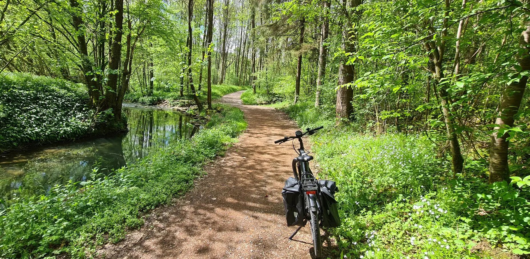
"ドイツ's Main-Tauber-Franconian Radachter - 2つのループ、1つの経験"
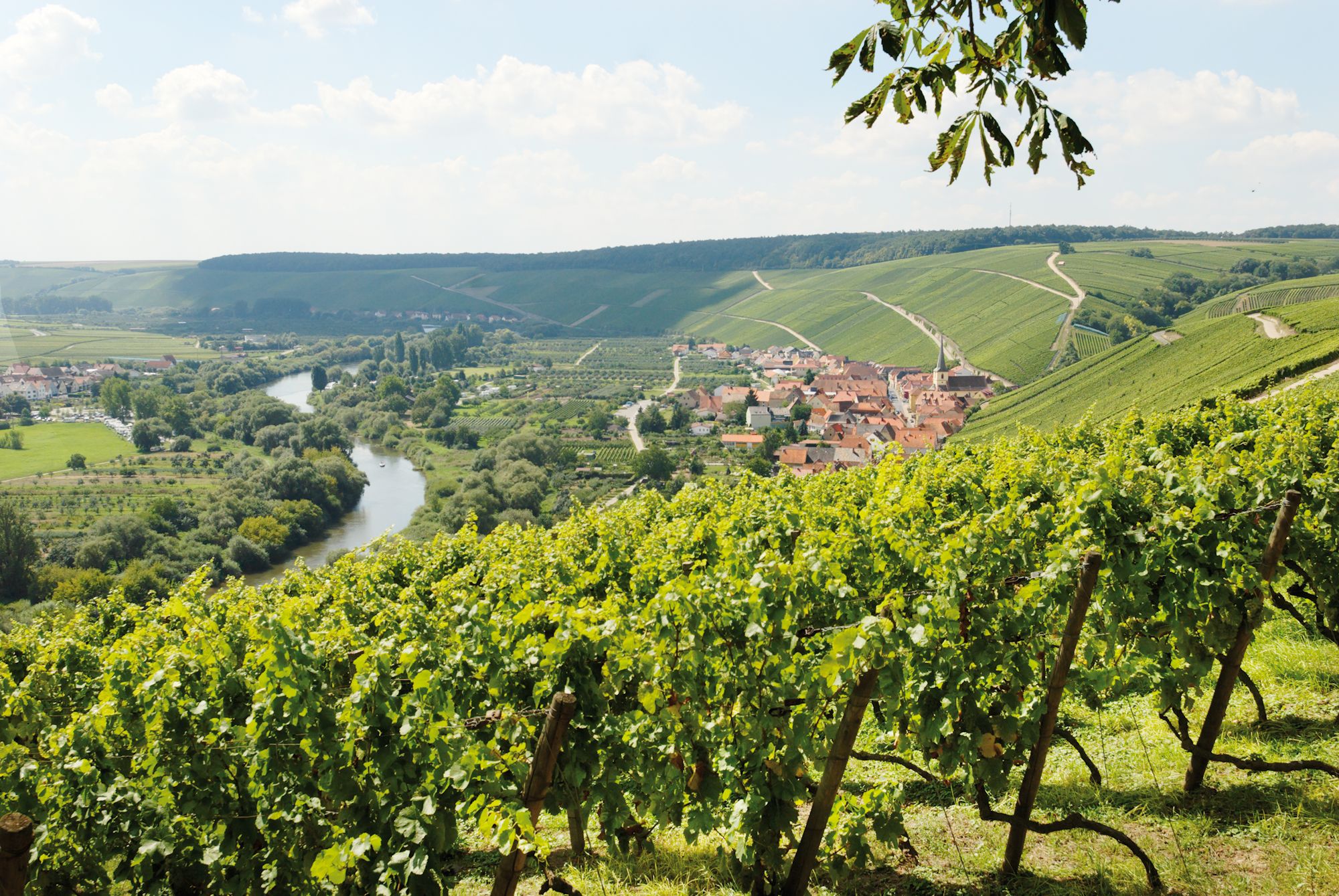
Discovering Germany’s wine region by bike – Franconia
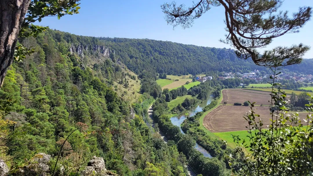
Raus in die Natur: Wandern & Campen in Bayerns schönsten Naturregionen
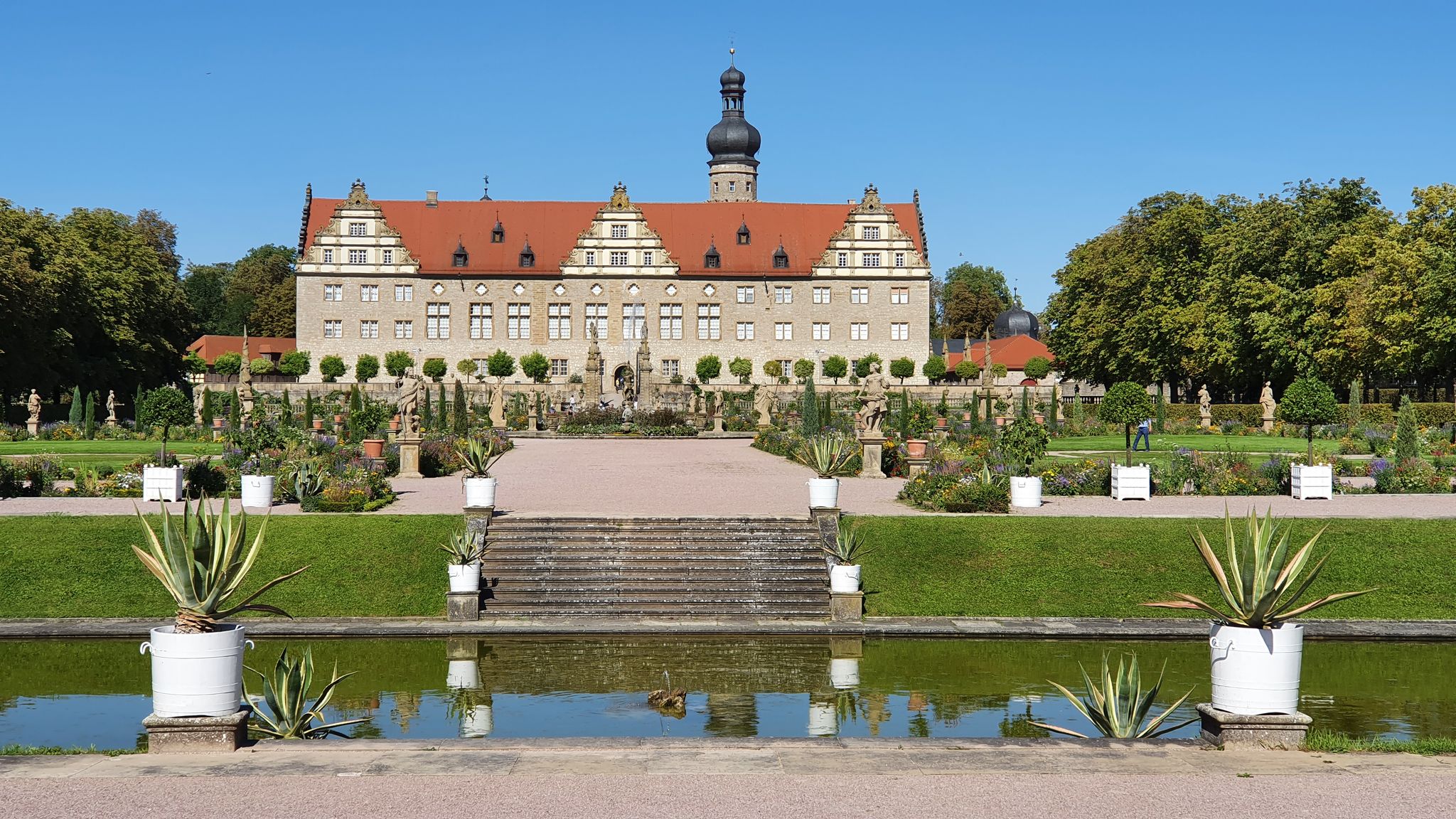
Main-Tauber-Fränkischer Rad-Achter: Ostring
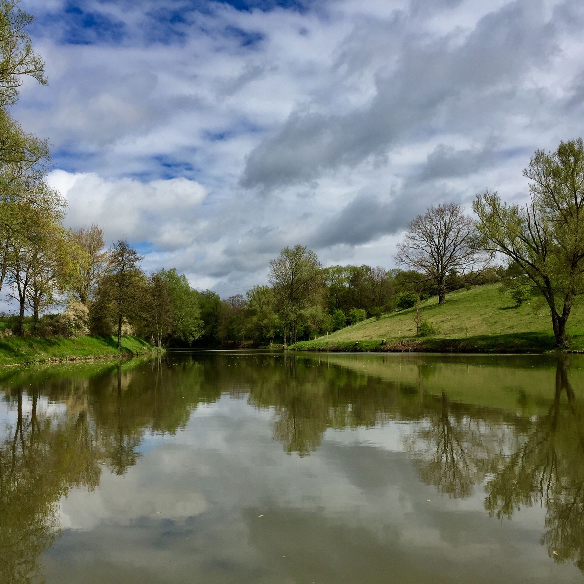
オクゼンフルトでのサイクリング
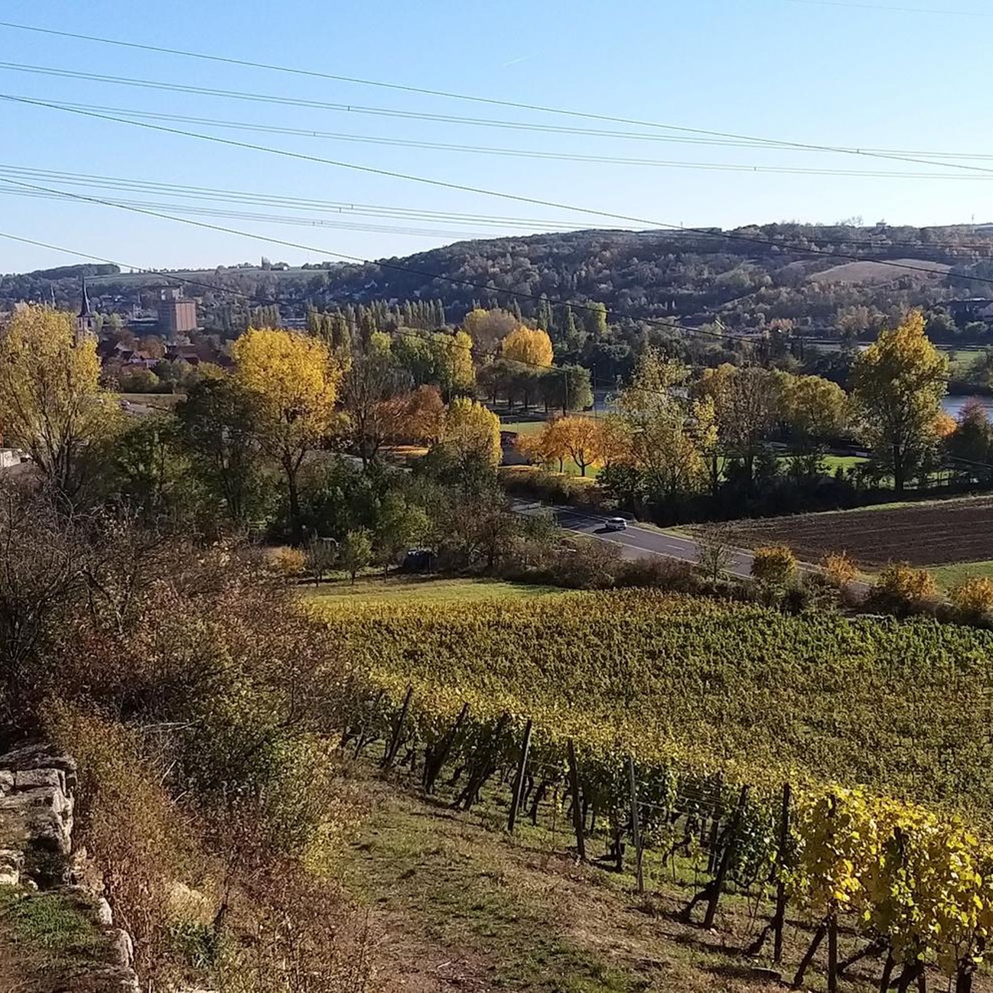
オクゼンフルトのランニングコース
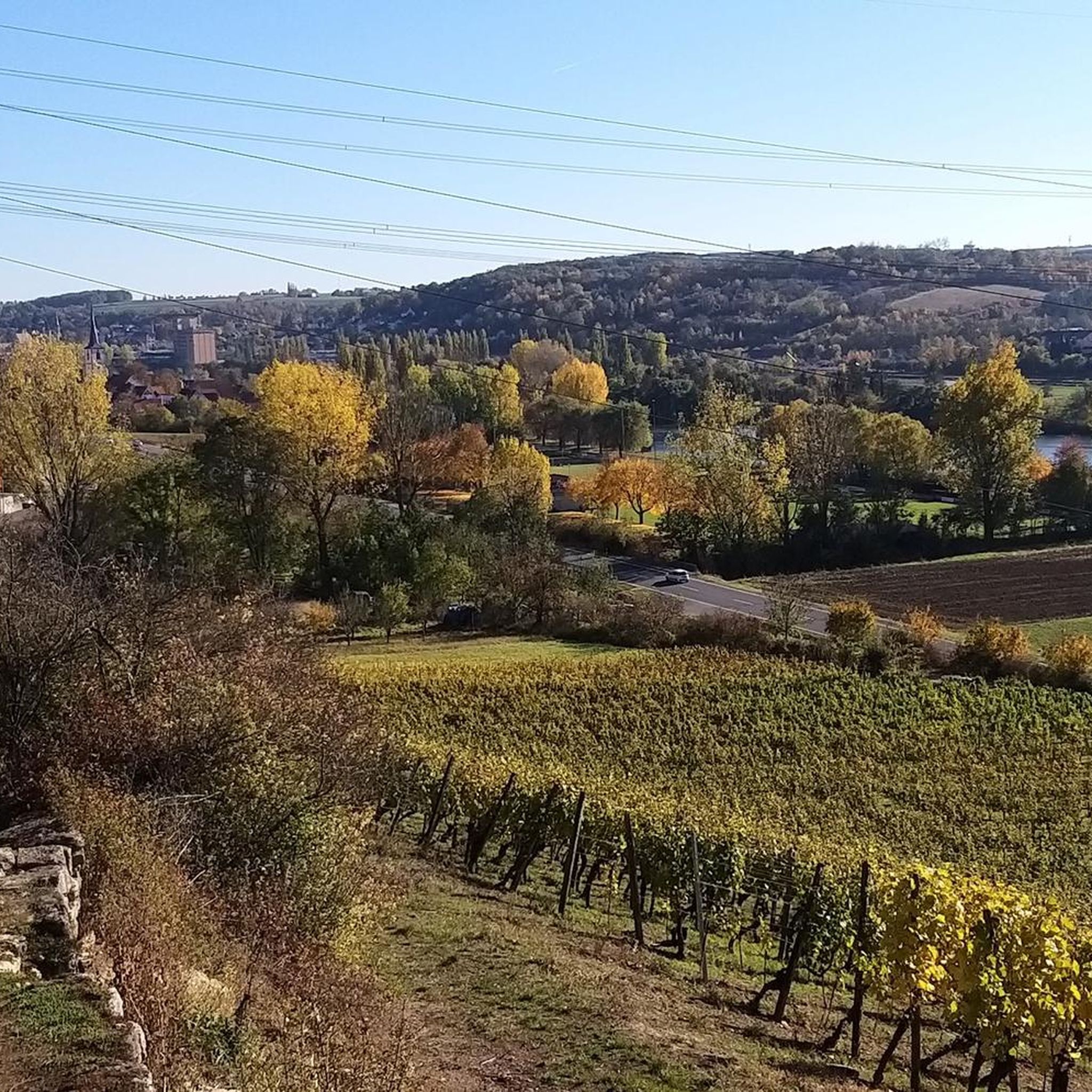
オクゼンフルトのMTBトレイル
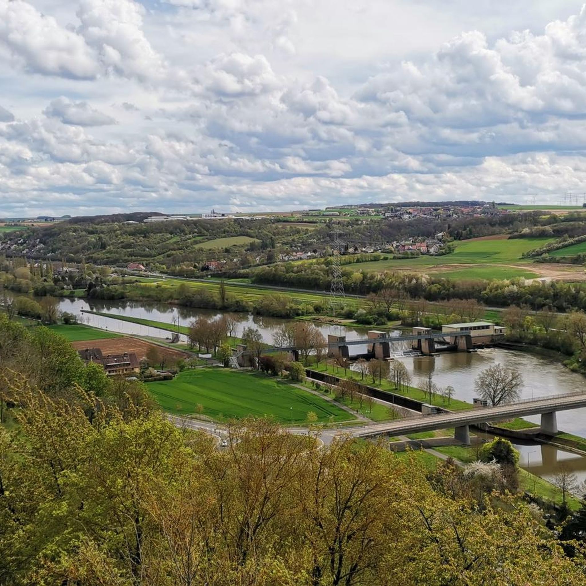
オクゼンフルトのロードバイクルート
オクゼンフルトでののグラベルライド

オクゼンフルトでのの他の冒険

アイコニックな水辺沿い - メイン・ドナウ・ボーデンズーの湖トレイル

ハイキングのコレクション によって

Tamara (unterwegs)

コミュニティからのヒント

Sabine K.
4月 5, 2026, Zeubelrieder Moor

ツォイベルリート・ムーアはビーバーの生息地です

Google翻訳による翻訳

0

0

Spiro
3月 21, 2026, Zeubelrieder Moor

ツォイベルリーダー湿原はビーバーの縄張りです

Google翻訳による翻訳

2

0

The small path along the Ochsenweiher pond is very beautiful. Warning: Cycling is prohibited!

Google翻訳による翻訳

0

0

Engraved in the stone on the outside is the water level of the Main River 😱 from the flood of the century. It's amazing.

Google翻訳による翻訳

2

0

Erlach Water Castle is a medieval moated castle in the center of Erlach, now a district of Ochsenfurt in Lower Franconia. The castle was built in the 12th century by the Lords of Erlach. The first recorded mention dates back to 1151. In the 14th century, a new building was constructed on the site of the original structure. During the German Peasants' War, the castle was destroyed in 1525 and not rebuilt until after 1545. Over the course of its history, it, like the population of the surrounding village, passed into the possession of various Lower Franconian ruling families. The Lords of Seinsheim ruled for about 200 years, followed by the Counts of Schwarzenberg for about 150 years. The property was eventually sold to the Catholic Church for the symbolic price of one thaler. At the beginning of the 19th century, the castle was expanded, and the school and teacher's quarters were housed there. Source: Wikipedia

Google翻訳による翻訳

2

0

View from the Gallows Hill In 1665, a gallows was erected here to spread "great terror and fear." Indeed, clearly visible locations were chosen for such deterrent purposes. For example, the view of Marktbreit from the Gallows Hill used to be very good. Because the use of the cultural landscape has changed, the view has since become overgrown, including that of the Main River and the railway line. With the construction of the railway line from Würzburg to Schweinfurt/Bamberg in 1854, trade by ship suddenly became unattractive. The journey from the North Sea to Marktbreit took up to three weeks, and by train two to three days. At the same time, the Würzburg-Treuchtlingen railway line was not built until 1865, which prompted merchants to leave Marktbreit and relocate their businesses to towns with rail connections. The Main river bank was then mainly used for bulk goods such as sand, gravel, and grain. Source: Information board at the site

Google翻訳による翻訳

1

0

The Bundesautobahn 7 (also known as BAB 7, Autobahn 7, or A 7) is, at 962.2 kilometers, Germany's longest federal highway and, after the Spanish Autovía A-7, the second-longest continuous national highway in Europe. It runs as a north-south axis from the Danish border at Ellund through Schleswig-Holstein, Hamburg, Lower Saxony, and Hesse, crossing several times between Bavaria and Baden-Württemberg, and ending at the Austrian border near Füssen. Source: https://de.wikipedia.org/wiki/Bundesautobahn_7

Google翻訳による翻訳

1

0

Sommerhausen Zoo has been operated by the Mainfränkische Werkstätten (Main Franconian Workshops) since 1993 and has become a heartfelt project of the Mainfränkische Group. On a spacious 14-hectare site, people of all ages can look forward to a wonderful time amidst 350 animals and the zoo's natural surroundings. These include alpacas, llamas, goats, horses, giant donkeys, and many more. (https://tierparksommerhausen.de/)

Google翻訳による翻訳

1

0

オクゼンフルトでのの人気ルート

オクゼンフルトでのサイクリング

オクゼンフルトでのの人気観光スポット

Places to see

Store rating

komootモバイルアプリでインスピレーションを得よう

無料のkomootアカウントがあれば、無限のアウトドアコースを簡単に見つけてカスタマイズし、ナビで案内できます。

または

今すぐkomootに参加しよう

Store rating

さらに探索

他の地域の最高のハイキングを見てみましょう。

ゾンマーハウゼンヴェルバッハランダースアッカーBürgerwaldファイツヘーヒハイムテュンガースハイムライナッハレッティンゲングラムシャッツァーヴァルトグラムシャッツァーヴァルトオーブヘーヒベルクフリッケンハウゼンアムメインプロッセルスハイムエアラブルンアイベルシュタットリムパーギュンタースレーベンゲルブルンアイゼンハイムビーベレーレンタイルハイムヴィンターハウゼンタウバーレッタースハイムオーバープライヒフェルトクラインリンダーフェルトエステンフェルトEdelmannswaldベルクトハイムガウケーニヒショフェンツェルアムメイングッテンベルガーヴァルトキュルナッハユッティンゲンヴァルトビュッテルブルングロイセンハイムリーデンハイムゲーロルツハウゼンマルゲーツヘーヒハイムウンタープライヒフェルトロッテンドルフイルテンベルガーヴァルトギーベルシュタットハウゼン・ベイ・ヴュルツブルクキストヘットシュタットヘルムシュタットゲルヒスハイムゾンダーホーフェンビュットハルトアルタートハイム

近くのアドベンチャーガイド

ゾンマーハウゼンでやるべきこと

background

新しいピークを征服する準備をしよう

無料でサインアップ

探検する
ルートルートプランナー機能ハイキングMTBトレイルロードバイクルートバイクパッキングサイトマップ
アプリをダウンロード
SNSでフォローする

© komoot GmbH

プライバシーポリシー
