オファリーのおすすめウォーキング&ハイキングルート
4.4
(237)
1,511
ハイカー
55
ハイキング
オファリーでのハイキングに出かけて、アイルランドのこのエリアを探索してみませんか?このガイドでご紹介するのは、komootがオファリーでのハイキング・ウォーキングルートのコレクション全体を評価して選び抜いた、このエリアの人気ハイキングルートです。あなたに合った でのハイキングを見つけるには、他のユーザーがアップロードした役立つ情報や写真を閲覧し、各ルートに関するみんなの意見やコメントを参考にしましょう。
最終更新日: 10月 16, 2026
4.3
(6)
57
ハイカー
6.72km
01:42
10m
10m
Hike the easy 4.2-mile (6.7 km) Lough Boora Mesolithic Route through reclaimed peatlands, past ancient sites and scenic Lough Boora.
4.5
(11)
51
ハイカー
11.1km
03:06
230m
230m
中程度のハイキング. ある程度のフィットネスレベルが必要です。 進みやすいルートです。あらゆるスキルレベルに適しています。

5.0
(4)
14
ハイカー
9.73km
02:48
240m
240m
中程度のハイキング. ある程度のフィットネスレベルが必要です。 進みやすいルートです。あらゆるスキルレベルに適しています。
3.0
(1)
9
ハイカー
5.97km
01:31
10m
10m
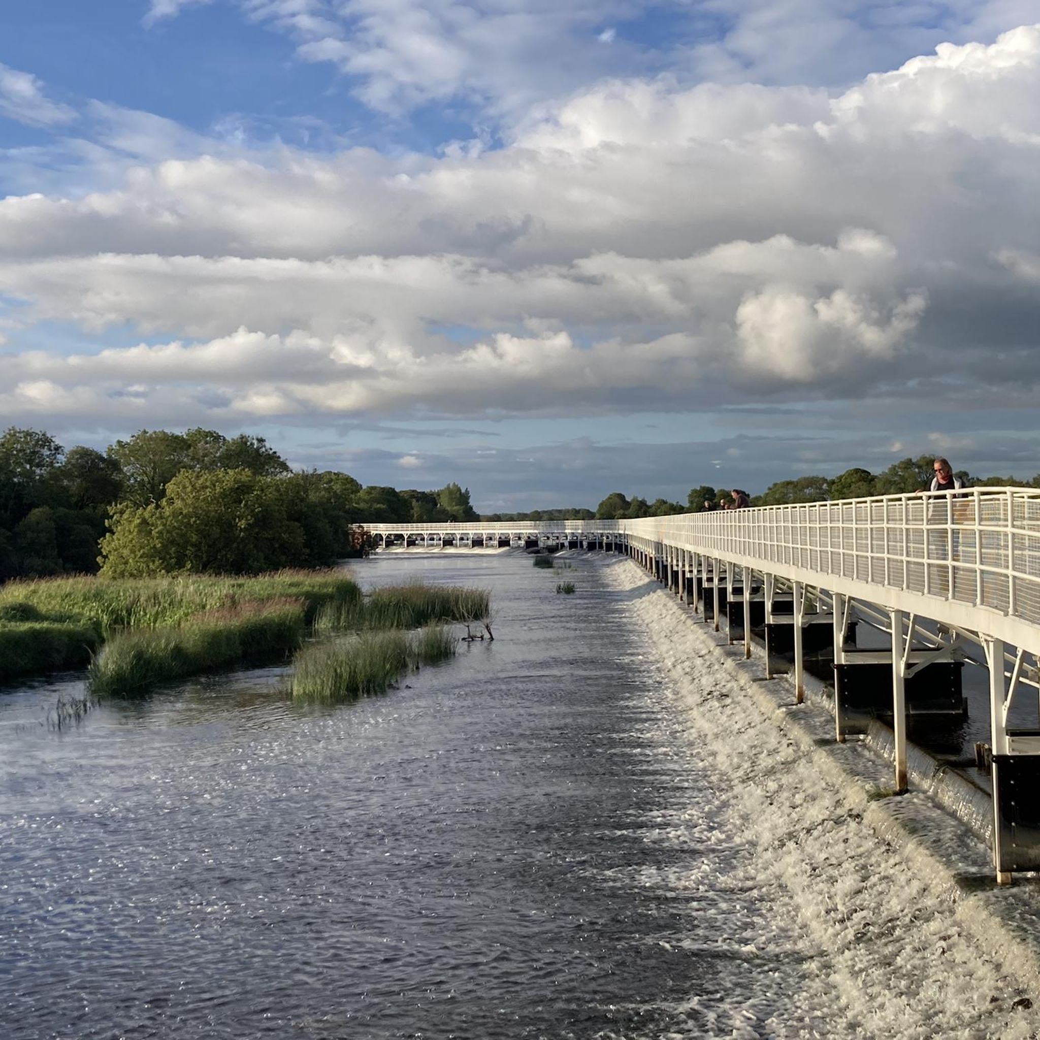
Hike the easy 3.7-mile Hymany Way and Meelick Weir Loop, enjoying River Shannon views and the historic Meelick Weir Walkway.
5.0
(1)
6
ハイカー
3.84km
00:59
10m
10m
Hike the easy 2.4-mile Birr Castle Riverwalk Trail through lush greenery and past two rivers within the historic Birr Castle Demesne.
5.0
(1)
14
ハイカー
5.99km
01:31
10m
10m
Hike the easy 3.7-mile (6.0 km) Grand Canal Greenway from Tullamore, following historic towpaths along tranquil waters.
4.3
(3)
10
ハイカー
6.77km
01:46
40m
40m
初級者向けハイキング. あらゆるフィットネスレベルに適しています。 進みやすいルートです。あらゆるスキルレベルに適しています。
5.0
(1)
12
ハイカー
12.2km
03:32
300m
300m
中程度のハイキング. ある程度のフィットネスレベルが必要です。 進みやすいルートです。あらゆるスキルレベルに適しています。
4.0
(2)
3
ハイカー
18.1km
04:35
40m
40m
Hike the Banagher to Meelick Weir Walkway return, a moderate 11.2-mile trail offering scenic views of the River Shannon and Meelick Weir.
3
ハイカー
2.59km
00:47
90m
90m
Hike the easy 1.6-mile Croghan Hill Walk, an extinct volcano offering panoramic views and historical sites in County Offaly.
さらに多くのルートや他のユーザーのおすすめ情報を確認できます。
すでにアカウントをお持ちですか?
おすすめのツアーは他のkomootユーザーが実際に経験した何千ものアクティビティに基づいています。
無料アカウントで今日から始めよう
次の冒険が待っています。
オファリー周辺で人気
Birrでのハイキング
Tullamoreでのハイキング
Edenderryでのハイキング
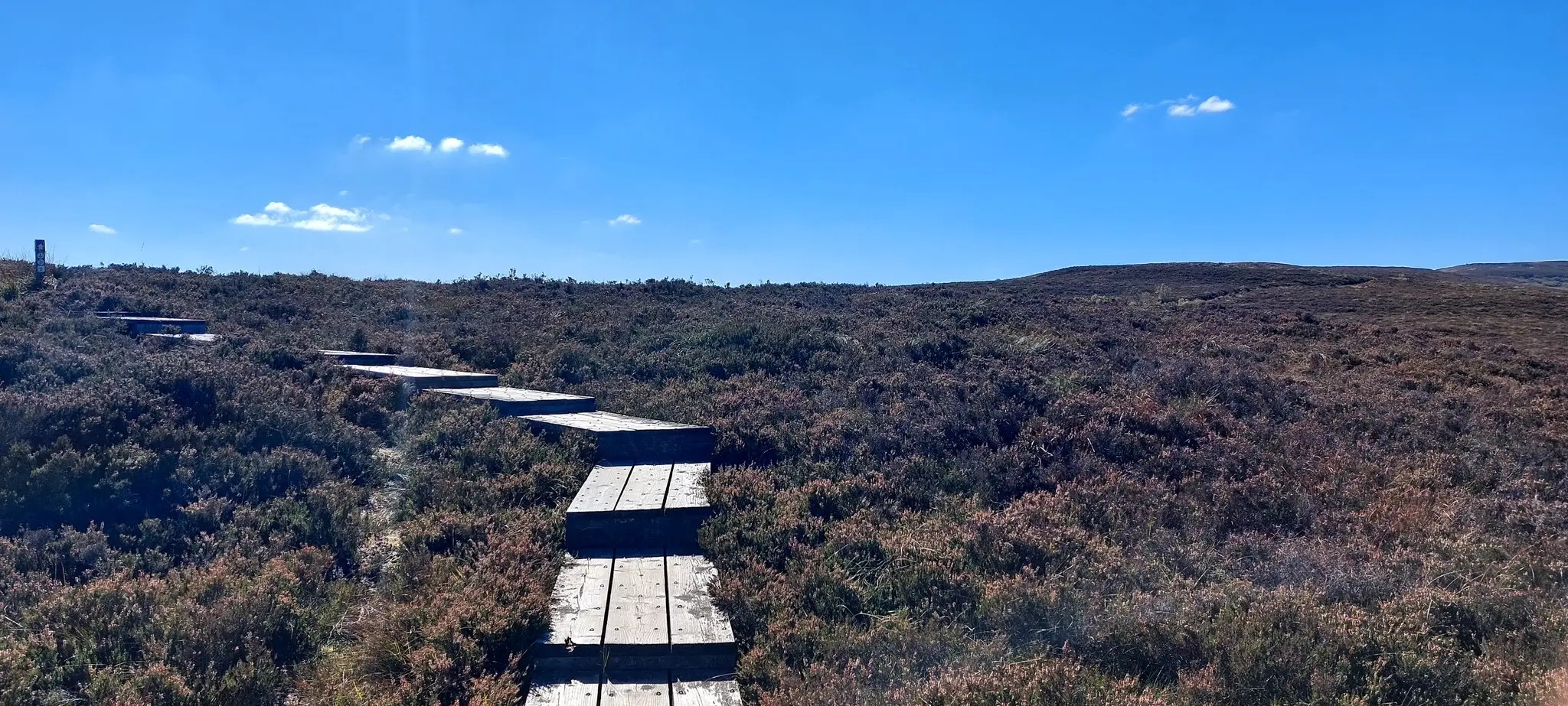
スリーブ・ブルーム・ウェイ - スリーブ・ブルーム山脈を体験
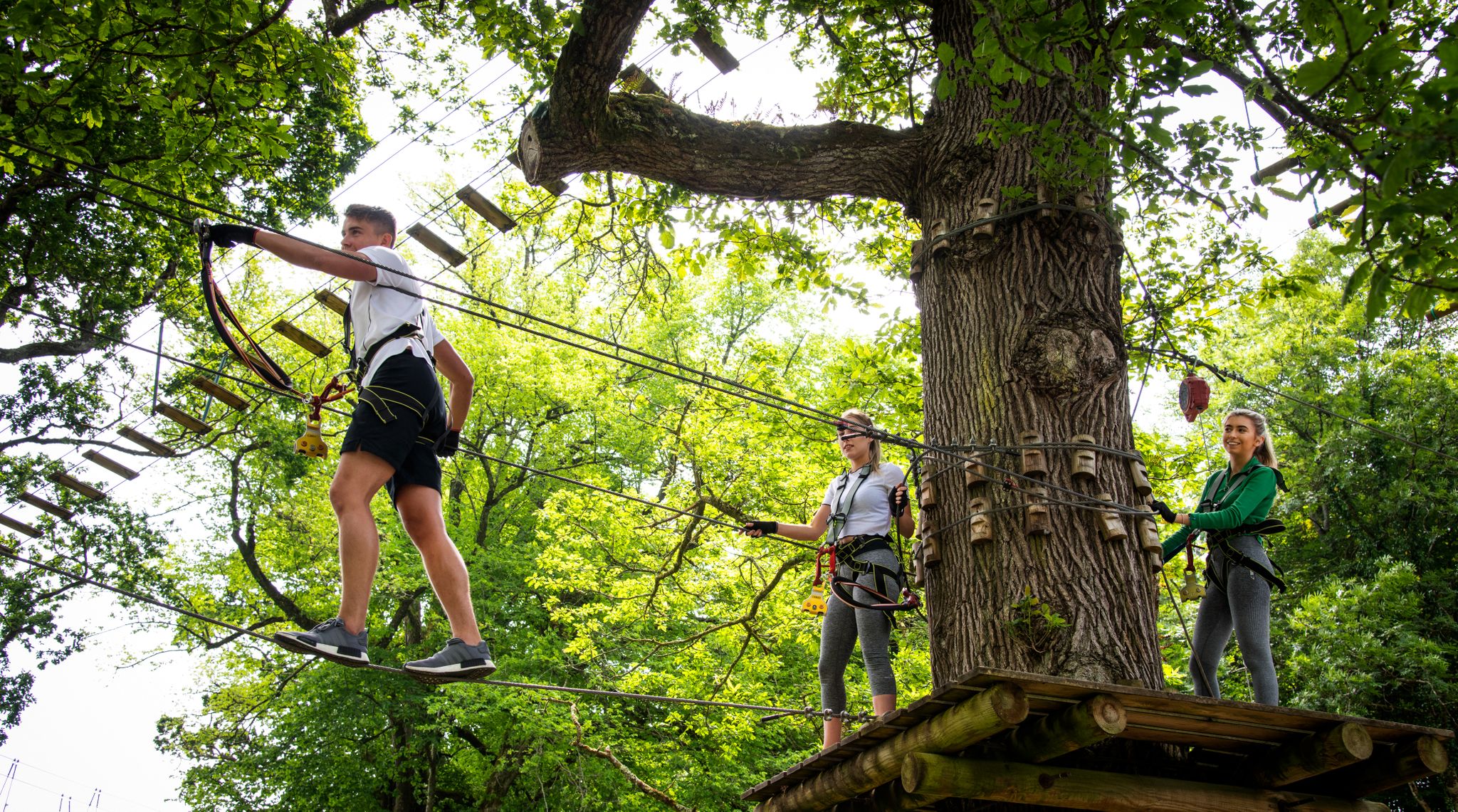
Awaken your spirit of discovery — family-friendly walks in Ireland

Discover Ireland's past – historical walks on the Emerald Isle
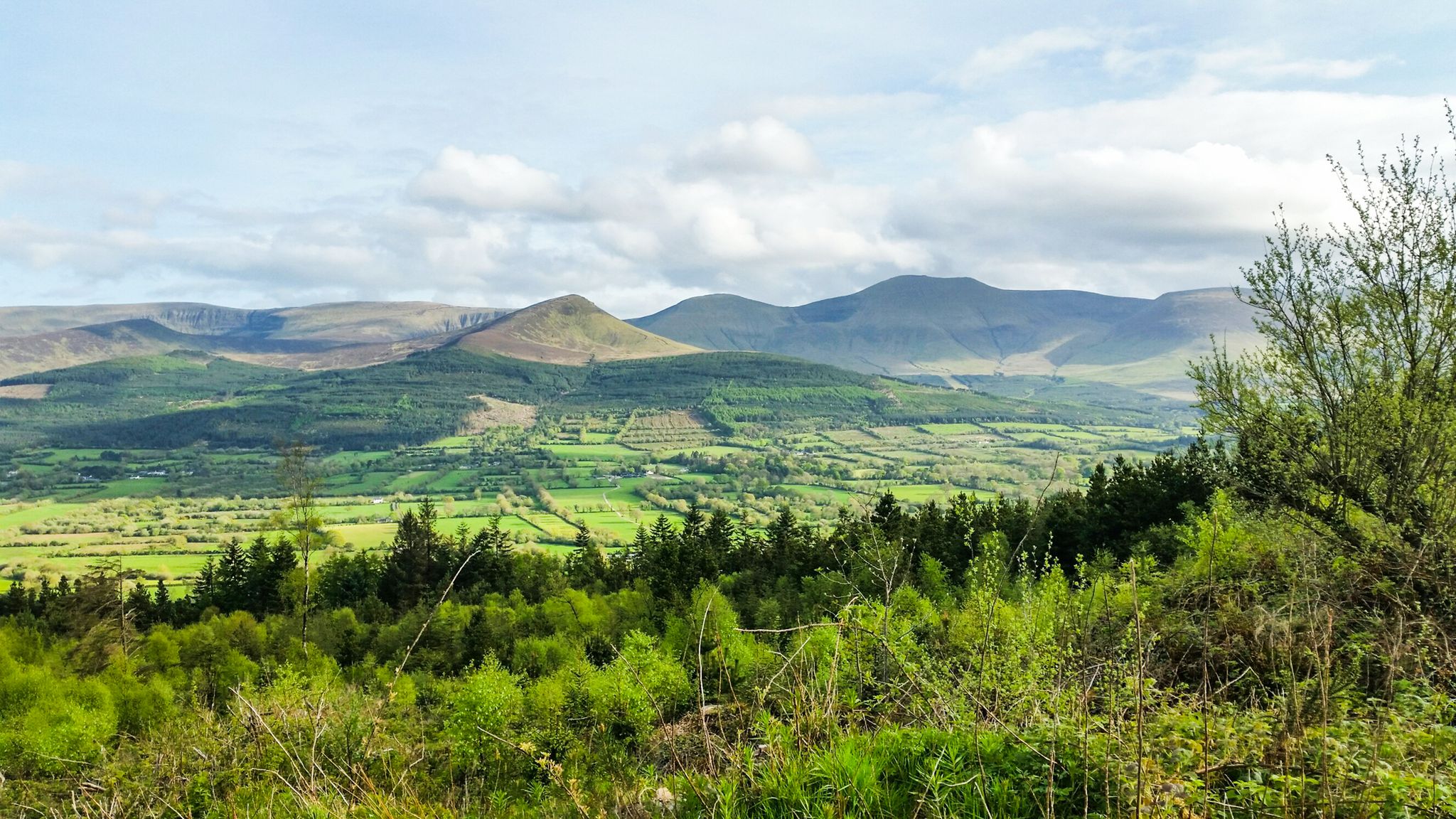
Hiking through the heart of the Emerald Isle – discover central Ireland
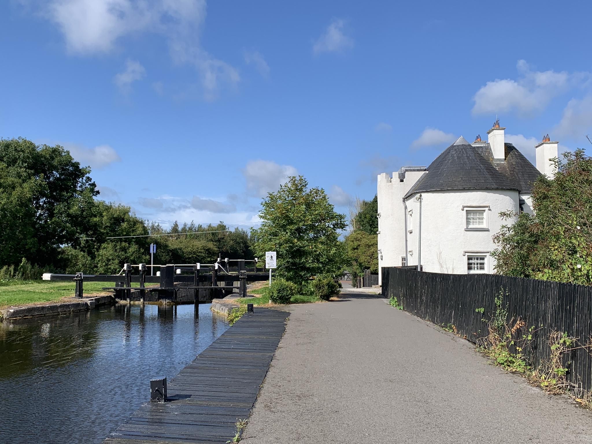
グランド・カナル・グリーンウェイ - オファリー州の中心部をサイクリング
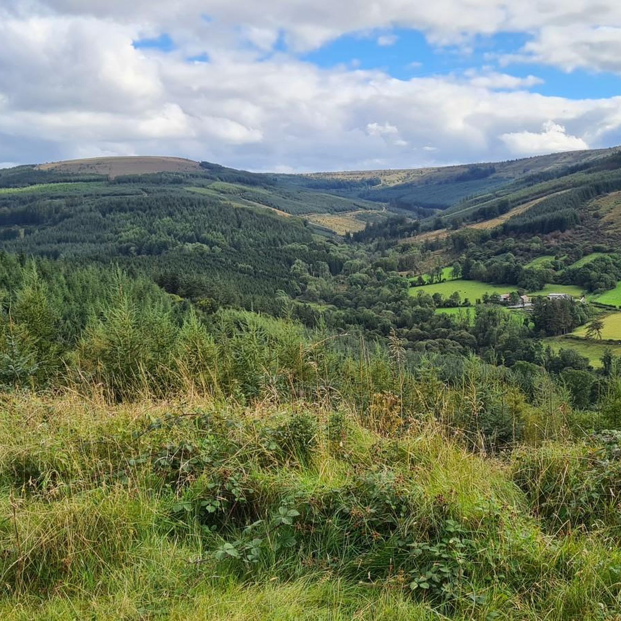
オファリーでのサイクリング
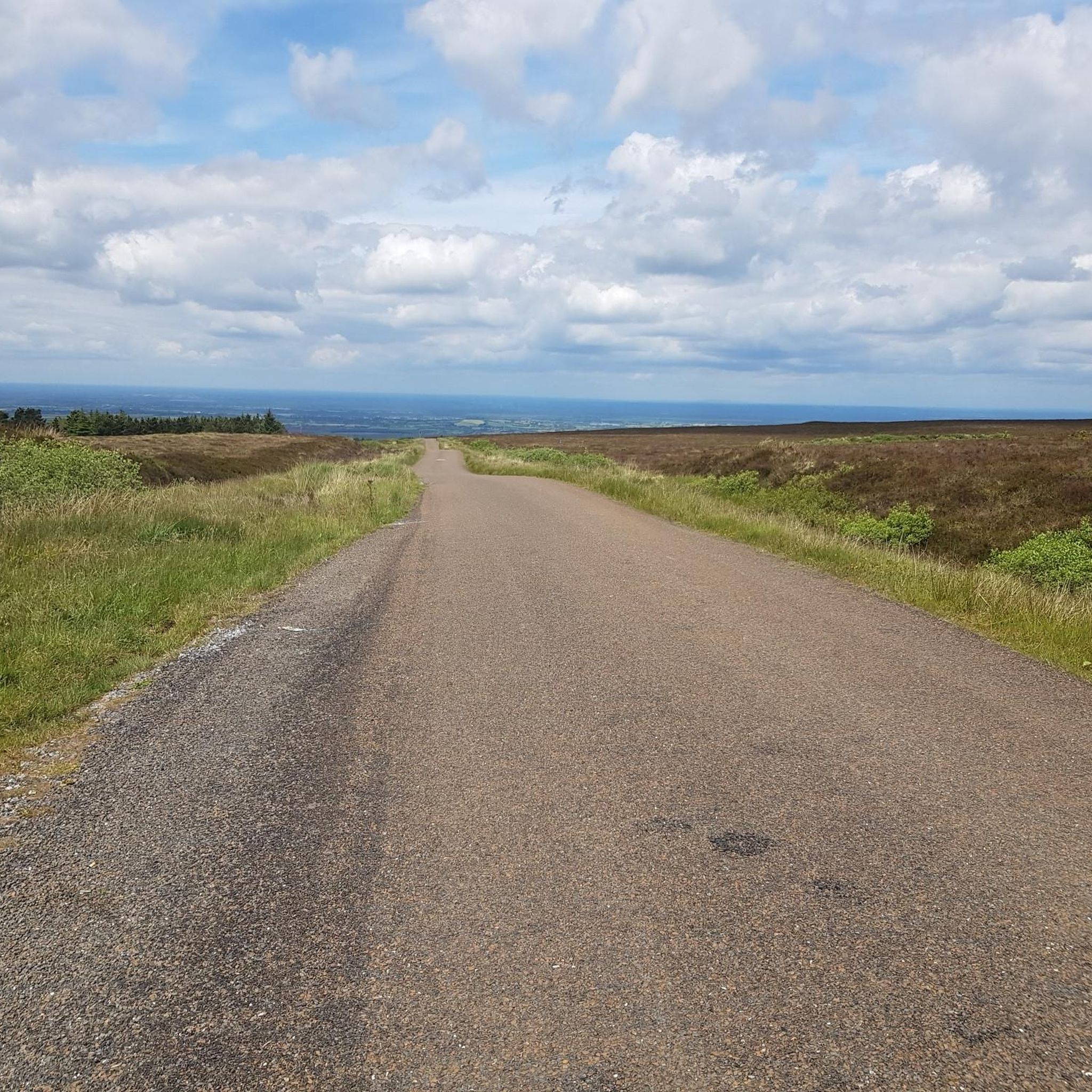
オファリーのロードバイクルート
オファリーでのの他の冒険


コミュニティからのヒント


Glenafelly Forestは、スライヴ・ブルーム山脈の斜面にある静かな森林地帯で、景色の良い遊歩道と穏やかな雰囲気で知られています。 森には砂利道、松林、そして周囲の田園風景を見渡せる開けた展望台が混在しています。アイルランドの賑やかなハイキングスポットの、人混みの少ない代替案をお探しなら、訪れる価値があります。
0
0
The Grand Canal reached Tullamore in 1798, linking Dublin to the River Shannon and helping the town grow as an important inland trading harbour for goods such as grain, peat, and timber. Today, Tullamore is a busy market and service town with shops, schools, and cultural events, while still retaining its historic harbour area and green canal walks that reflect its industrial past.
1
0

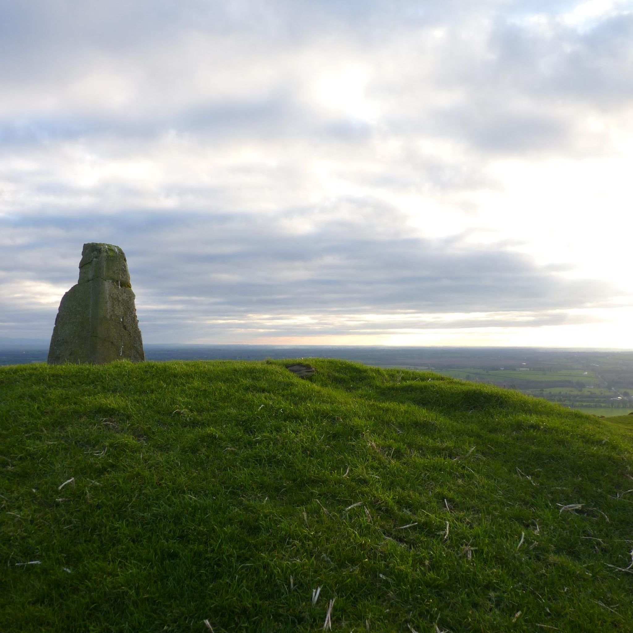
The Giant's Grave is a megalithic tomb. It's said to be the final resting place of the chieftain warrior Bladhma, and after whom the Slieve Bloom Mountains are named.
0
0


オファリーでのの人気観光スポット

komootモバイルアプリでインスピレーションを得よう


さらに探索
他の地域の最高のハイキングを見てみましょう。
