バンザーウォルド周辺のアトラクション&必見スポット - トップ20
バンザーウォルドには必見のスポットがたくさんあります。ハイキング愛好家やサイクリング愛好家の方は、ぜひバンザーウォルドを探索してこのエリアにある20
の隠れたスポットを訪れてみてください。このエリアの必見スポットを確認し、次の冒険に出かける計画を立てましょう。
最終更新日: 10月 11, 2026
フロートレイル・バンツァー・ヴァルト
ハイライト (セグメント) • MTBパーク
I would rate the difficulty as S0.
翻訳者 Google •
役立つ情報 は

バンツベルクのマクシミリアンズプファート
ハイライト (セグメント) • トレイル
翻訳者 Google •
役立つ情報 は

今すぐサインアップして、こんな場所を発見しよう
最高のシングルトラック、ピーク、その他のエキサイティングなアウトドアスポットのおすすめを受け取ろう。
バンツァー山のリングウォール
ハイライト • 歴史的な場所
翻訳者 Google •
役立つ情報 は

ブルクシュタル・シュテグリッツ
ハイライト • 歴史的な場所
Reason was the intervention of the monastery Banz, which felt …
翻訳者 Google •
役立つ情報 は
リングヴァル・バンツァー・ベルク周回トレイル
ハイライト (セグメント) • トレイル
翻訳者 Google •
役立つ情報 は

無料でサインアップして、さらに多くの観光スポットを発見しましょう バンザーウォルドでの。
すでにアカウントをお持ちですか?
無料アカウントで今日から始めよう
次の冒険が待っています。
コミュニティからのヒント


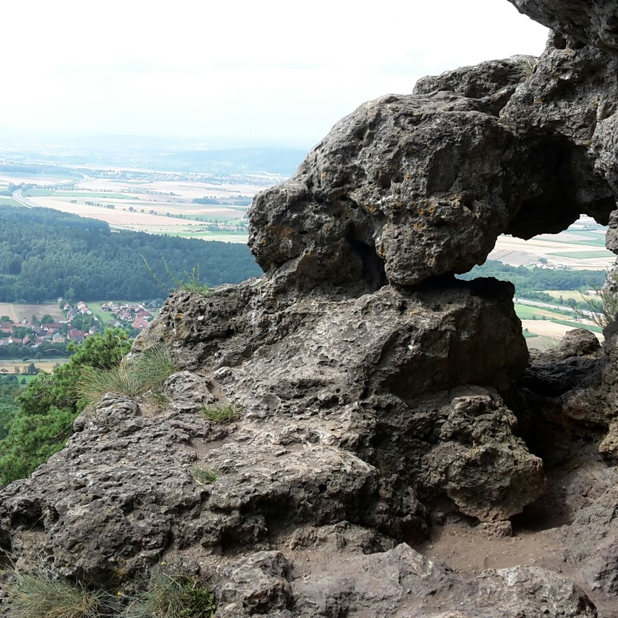
This wonderful piece of land is home to a tree climbing paradise for every taste and ability. There is also a lot of interesting information to discover on the information boards.
0
0


Now labeled as an MTB flow trail, you're looking for more.
1
0


The facility with a floor area of around 500 × 500 meters is located at 447 m above sea level. NN height and therefore around 190 meters above the valley floor of the Main on the roughly triangular summit of the Banzer Berg.[4] This slopes steeply to the north, east and west to the side valleys of the Main, only at the tops of the mountain tops in the northwest and in the south are there constricted mountain saddles a few meters lower, which are followed by the other mountain peaks of this mountain range. The approximately ten hectare ring wall, whose shape resembles a bell, was completely destroyed in its western part by a quarry; in the south, at the top of the bell, it is interrupted by several recent breakthroughs, which are probably also related to the quarry work . The wall is well preserved in the northeast, east and southeast parts; it lies on the edge of the natural terrain of the hilltop. In front of it, there is a slope ditch five to seven meters deeper on the outside, in front of which there is a wall. This is still clearly visible, especially on the north side, the middle of the east side and at the northeast tip. The previous access can no longer be reliably located Source: Wikipedia
2
0
The Banzer Berg ringwall is an abandoned early medieval fortification on the summit of the eponymous Banzer Berg, immediately north of the Banz monastery on a small mountain range between the valleys of the Main and the Itz. It is located about 4000 meters north of the town of Bad Staffelstein in the Upper Franconian district of Lichtenfels in Bavaria, Germany. No historical or archaeological information is known about this ring wall complex; the Bavarian State Office for Monument Preservation describes it as an early medieval fortification and, based on its design features, was probably built and used in Carolingian times.[1] Banz Castle was located on this mountain range south of the Banzer Berg ring wall in the area of today's Banz monastery or castle; The Kulch ring wall lies about three kilometers north-northwest on the Kulch. Of the three fortifications, the one on Banzer Berg is the oldest. Steglitz Castle, located to the west on the mountain of the same name, is part of an attempt to build a castle by the Counts of Andechs-Meranien in the 13th century. Parts of the ring wall with slope ditches and outer wall have been preserved from the complex that was destroyed in the west. Source: Wikipedia
5
0

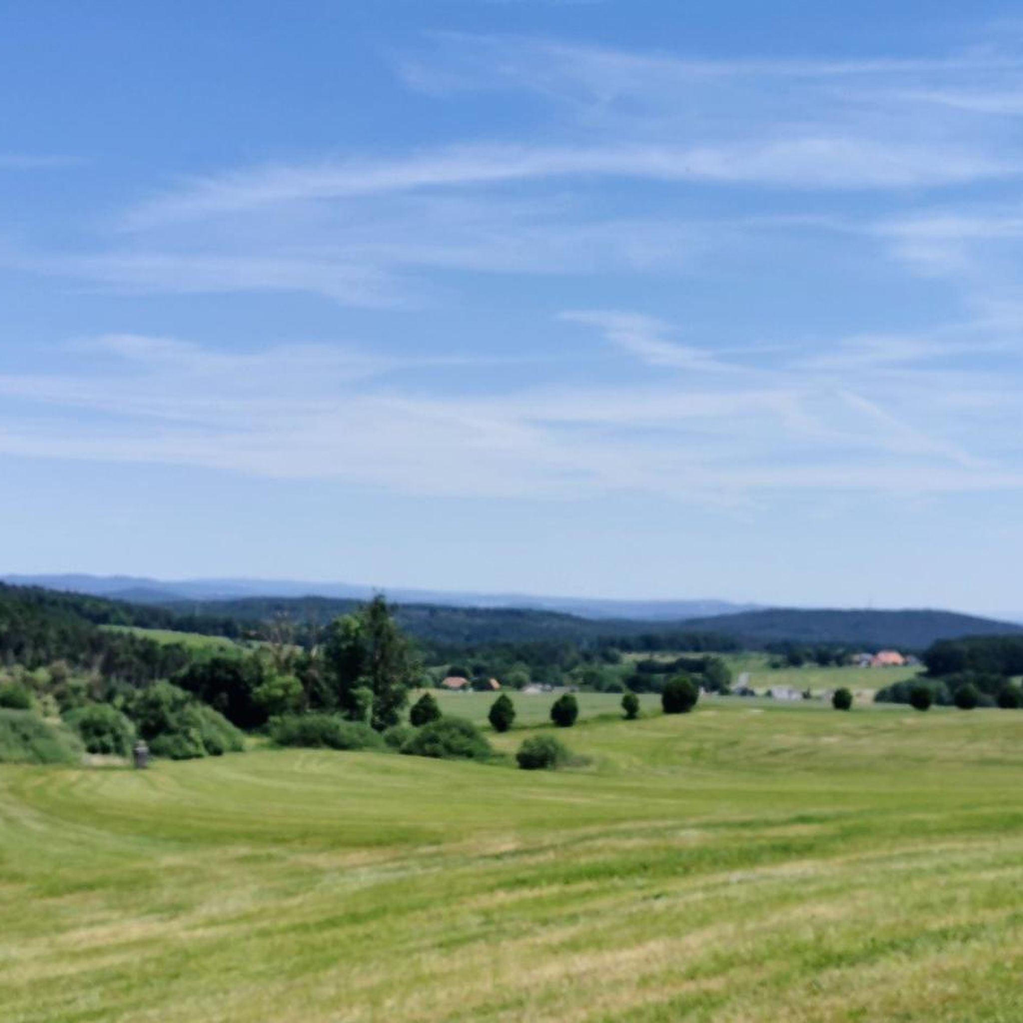
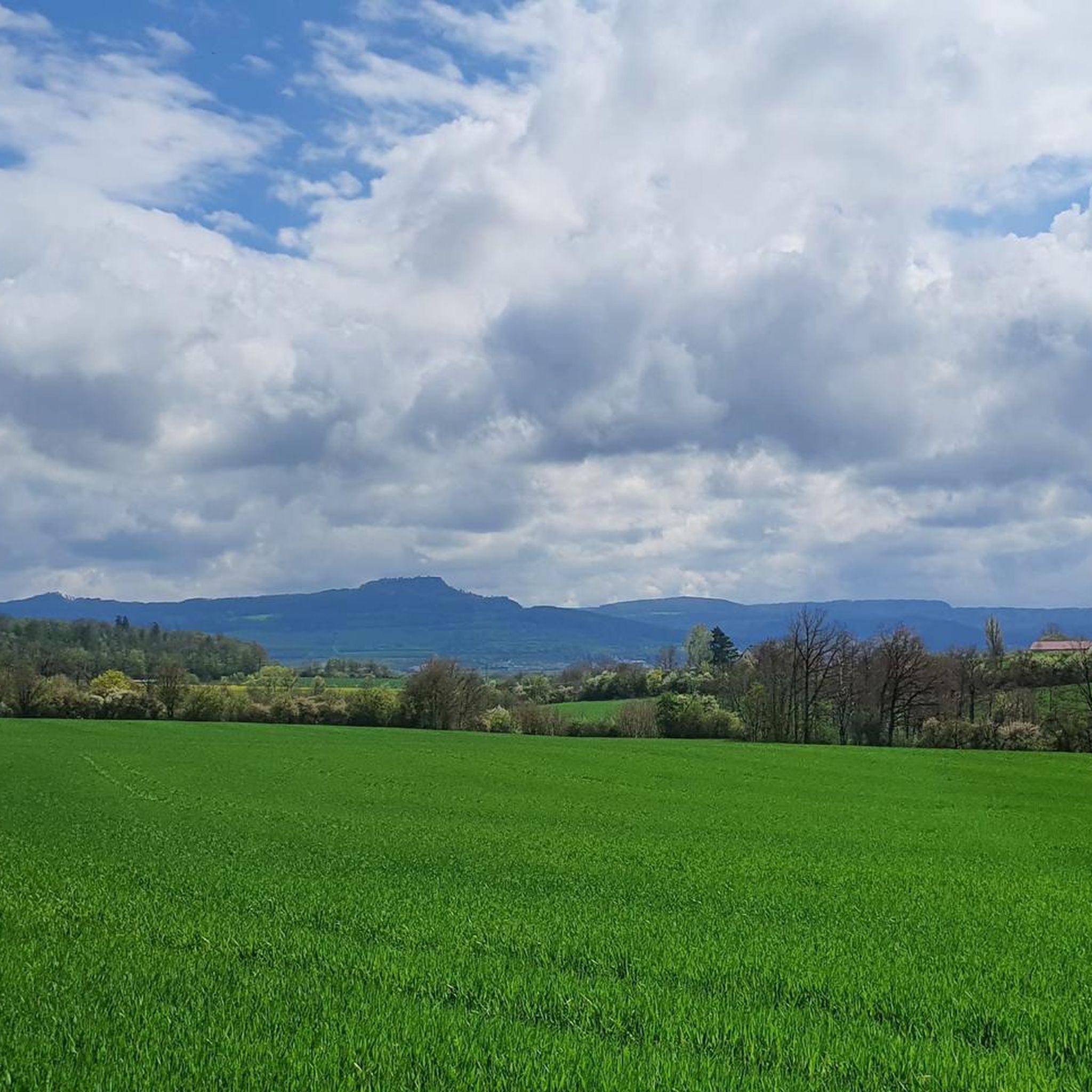
untouched nature, trails, few visitors - very idyllic
0
0

komootモバイルアプリでインスピレーションを得よう


さらに探索
まだ探しているハイライトが見つかりませんか?他の地域のトップアトラクションのガイドを見てみましょう:
