ルッピナー湖周辺のアトラクション&必見スポット - トップ20
ルッピナー湖には必見のスポットがたくさんあります。ハイキング愛好家やサイクリング愛好家の方は、ぜひルッピナー湖を探索してこのエリアにある20
の隠れたスポットを訪れてみてください。このエリアの必見スポットを確認し、次の冒険に出かける計画を立てましょう。
最終更新日: 8月 30, 2026
トレスコー付近のルッピナー湖
ハイライト • 湖
翻訳者 Google •
役立つ情報 は

パルツィヴァル・アム・ゼー像(ノイルッピンの遊歩道)
ハイライト (セグメント) • 記念碑
翻訳者 Google •
役立つ情報 は

今すぐサインアップして、こんな場所を発見しよう
最高のシングルトラック、ピーク、その他のエキサイティングなアウトドアスポットのおすすめを受け取ろう。
無料新規登録
「Parzival am See」像
ハイライト • 記念碑
In 1968 he did an apprenticeship as a locksmith and in 1972 began an apprenticeship …
翻訳者 Google •
役立つ情報 は

ルッピナー湖
ハイライト • 湖
翻訳者 Google •
役立つ情報 は

フォンターネ・テルメ
ハイライト • 休憩所
翻訳者 Google •
役立つ情報 は

無料でサインアップして、さらに多くの観光スポットを発見しましょう ルッピナー湖での。
無料新規登録
すでにアカウントをお持ちですか?
無料アカウントで今日から始めよう
次の冒険が待っています。
ログインまたは登録
コミュニティからのヒント

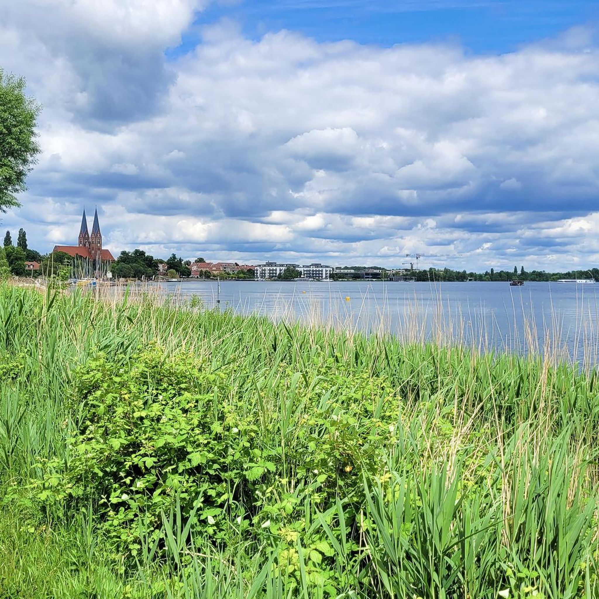
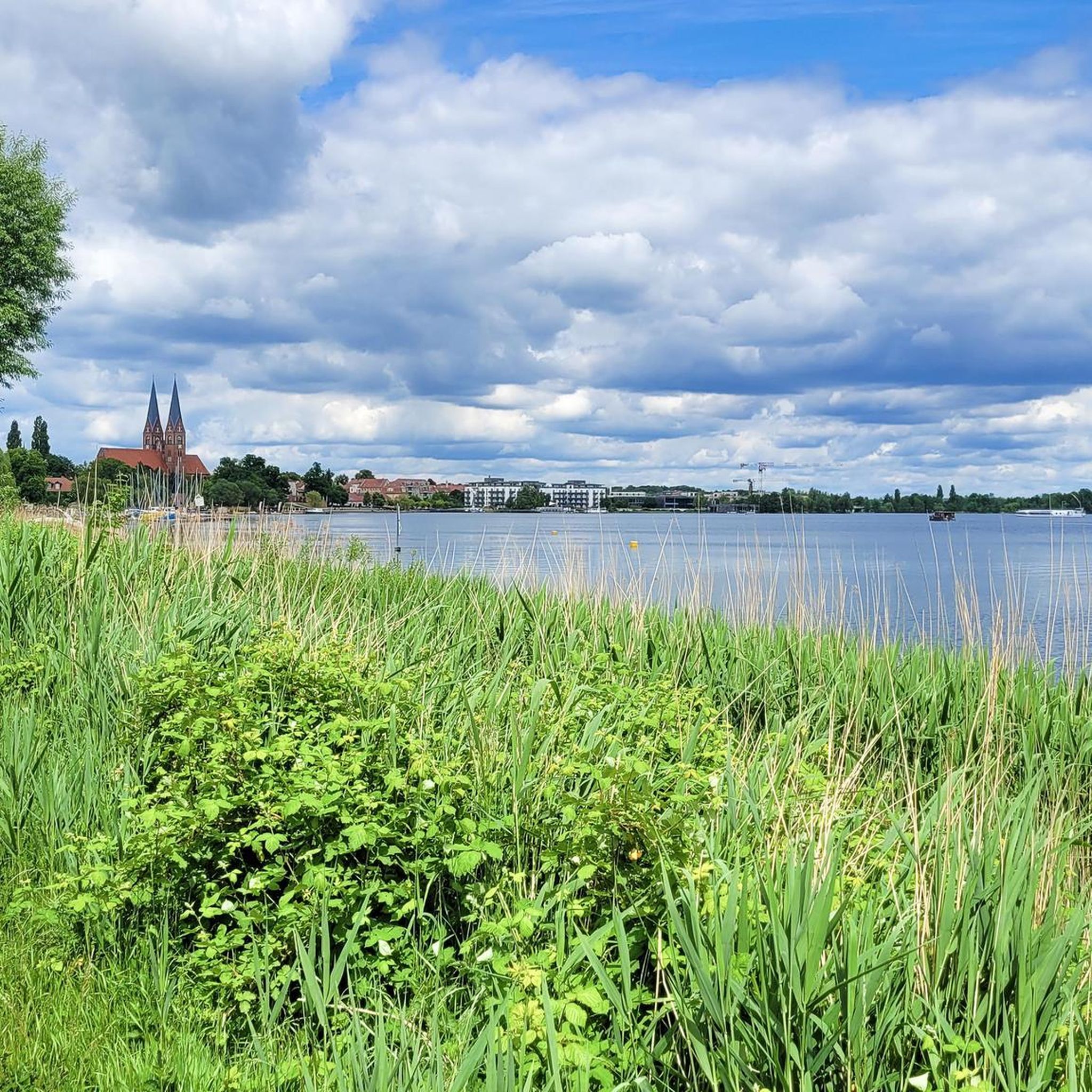
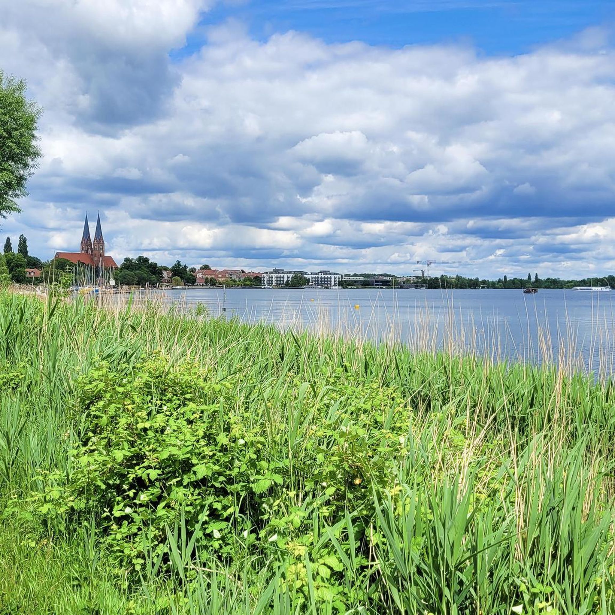
Lake Ruppin covers an area of 8.25 km² and is 14 km long, making it the longest lake in Brandenburg. Its maximum depth is approximately 24 m. A roughly 25 km long circular path leads around the lake, inviting hikers and especially cyclists to explore. To the south of the lake lies Wustrau, a village of about 1,100 inhabitants, which is well worth a visit. The lake receives its water from the Rhin River via the Zermützelsee, the Tetzensee, and the Molchowsee at the Altruppin lock, and flows into the Bützsee via the Wustrauer Rhin. https://www.goruma.de/staedte/neuruppin/neuruppin-sehenswuerdigkeiten
2
0
The monumental stainless steel sculpture "Parzival am See" (Parzival by the Lake) on the shore of Lake Ruppin is far more than just a work of art; it is a powerful symbol of change and hope. Standing a proud 17 meters tall, Parzival, created by the artist Matthias Zágon Hohl-Stein, was unveiled in 1998 to mark the town's renaming as "Fontanestadt" (Fontane City). The symbolism is particularly striking: In one hand, Parzival holds a windmill, in the other an ark – symbols of progress and preservation. The sculpture represents a new Neuruppin without a garrison, a city on the move, confronting its history while simultaneously looking to the future. An inspiring place that invites reflection – and a fantastic photo opportunity right on the lakeshore. Anyone visiting Neuruppin should definitely take a look at this modern-day knight. https://tourismus-neuruppin.de/kultur-erleben-neuruppin/sehenswertes-neuruppin/119-parzival-am-see-neuruppin
2
0


A relaxing lake for relaxation. And, of course, for hiking.
1
0

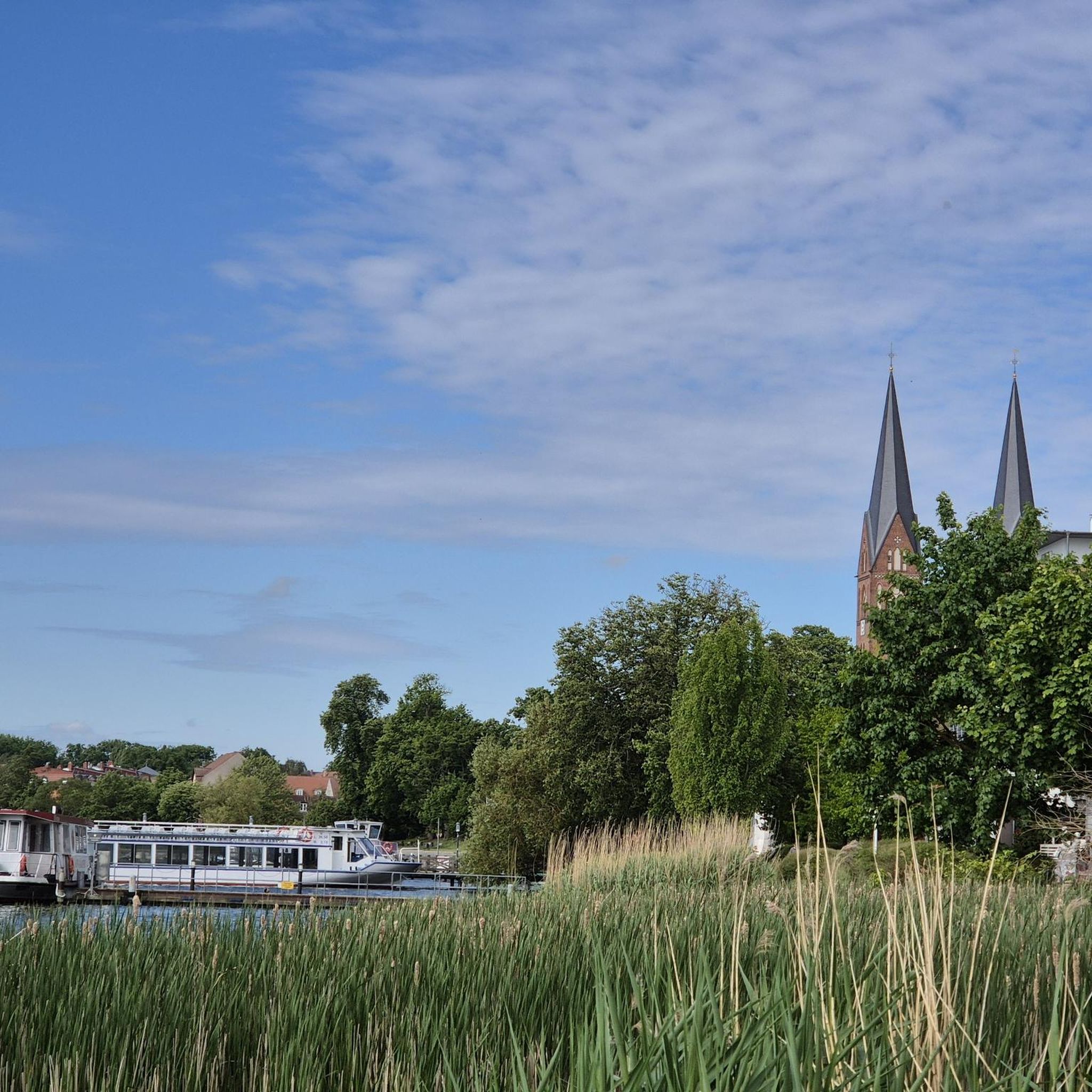
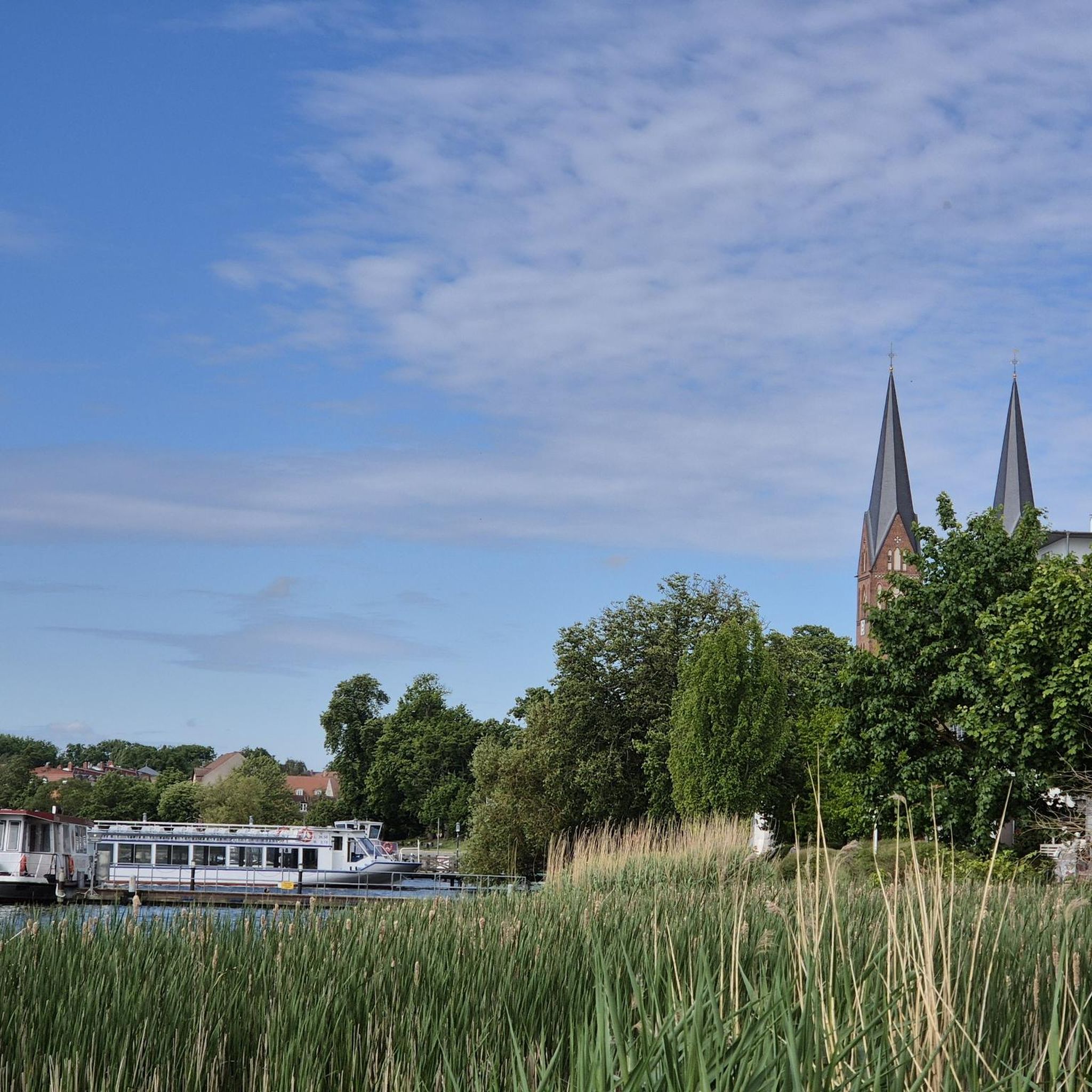
You can take a lovely walk on the promenade along Lake Ruppin and enjoy the great atmosphere!
3
0
Parzival is seen as a symbol of new beginnings. With the wind turbine in one hand and the ark in the other, he was unveiled on the lake promenade in 1998 to mark the awarding of the name "Fontanestadt". The 17-meter-high sculpture made of stainless steel was created by the artist Matthias Zágon Hohl-Stein.
2
0

The Ruppiner See is an elongated inland water body in the Ostprignitz-Ruppin district in the northwest of the state of Brandenburg. With a length of 14 km, the Ruppiner See is the longest lake in the state of Brandenburg. Its surface area is 807 hectares (8.07 km²). The Rhin flows through the lake from north to south, leaving it in two directions: through the Wustrauer Rhin to the southwest and into the Bützsee to the southeast. Since the Ruppiner See is by definition a still body of water, part of the water from the Bützsee flows into the Upper Havel, but the water from the Wustrauer Rhin flows into the Havel about 150 kilometers downstream, the Ruppiner See is a pseudobifurcation. The Ruppiner See lies in a glacial channel that was formed in the last ice age, the Weichselian glaciation, about 18,000 years ago. After the glacier melted, dead ice was initially left behind in the channel. The lake only formed when the ice melted at the end of the ice age around 12,000 years ago. Source: Wikipedia
1
0
The 17-meter-high steel sculpture was created by the artist Matthias Zágon Hohl-Stein. "Parzival am See" stands for a new Neuruppin without a garrison. He is seen as a symbol of new beginnings. With the wind turbine in one hand and the ark in the other, he was unveiled on the lake promenade in 1998 on the occasion of the awarding of the name "Fontanestadt".
2
0
ルッピナー湖でのの人気観光スポット

komootモバイルアプリでインスピレーションを得よう


さらに探索
まだ探しているハイライトが見つかりませんか?他の地域のトップアトラクションのガイドを見てみましょう:
