ニーダーンハウゼンイムタウヌスのおすすめライド
4.5
(1206)
14,471
ライダー
26
ライド
ニーダーンハウゼンイムタウヌス周辺でのロードバイクライドをお考えですか?komootはニーダーンハウゼンイムタウヌス周辺のあらゆるロードバイクライドを評価し、人気ルートを厳選しました。ニーダーンハウゼンイムタウヌス周辺の各ロードバイクルートの詳細をご覧になり、自分に合ったルートを見つけてください。
最終更新日: 8月 25, 2026
4.2
(5)
117
ライダー
46.6km
02:44
1,170m
1,170m
難しいロードライド. 標準以上のフィットネスレベルが必要です。 全般的に舗装状態が良好で走行しやすい道です。
4.2
(5)
92
ライダー
60.4km
03:13
1,180m
1,180m
難しいロードライド. 標準以上のフィットネスレベルが必要です。 全般的に舗装状態が良好で走行しやすい道です。

無料新規登録
4.0
(3)
49
ライダー
49.7km
02:22
600m
600m
中程度のロードライド. ある程度のフィットネスレベルが必要です。 全般的に舗装状態が良好で走行しやすい道です。
5.0
(1)
48
ライダー
52.9km
02:30
510m
510m
中程度のロードライド. ある程度のフィットネスレベルが必要です。 全般的に舗装状態が良好で走行しやすい道です。
4.0
(2)
36
ライダー
47.1km
02:03
410m
410m
中程度のロードライド. ある程度のフィットネスレベルが必要です。 全般的に舗装状態が良好で走行しやすい道です。
さらに多くのルートや他のユーザーのおすすめ情報を確認できます。
無料新規登録
すでにアカウントをお持ちですか?
おすすめのツアーは他のkomootユーザーが実際に経験した何千ものアクティビティに基づいています。
無料アカウントで今日から始めよう
次の冒険が待っています。
ログインまたは登録
ニーダーンハウゼンイムタウヌス周辺で人気
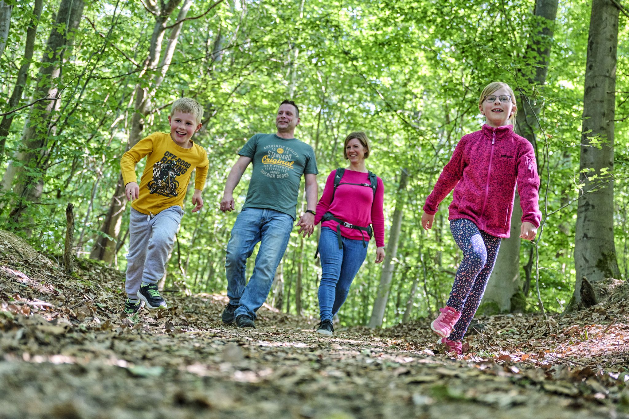
The journey is the adventure – hikes in Germany’s Taunus Mountains

Varied winter hikes in Germany’s Rhine-Main region
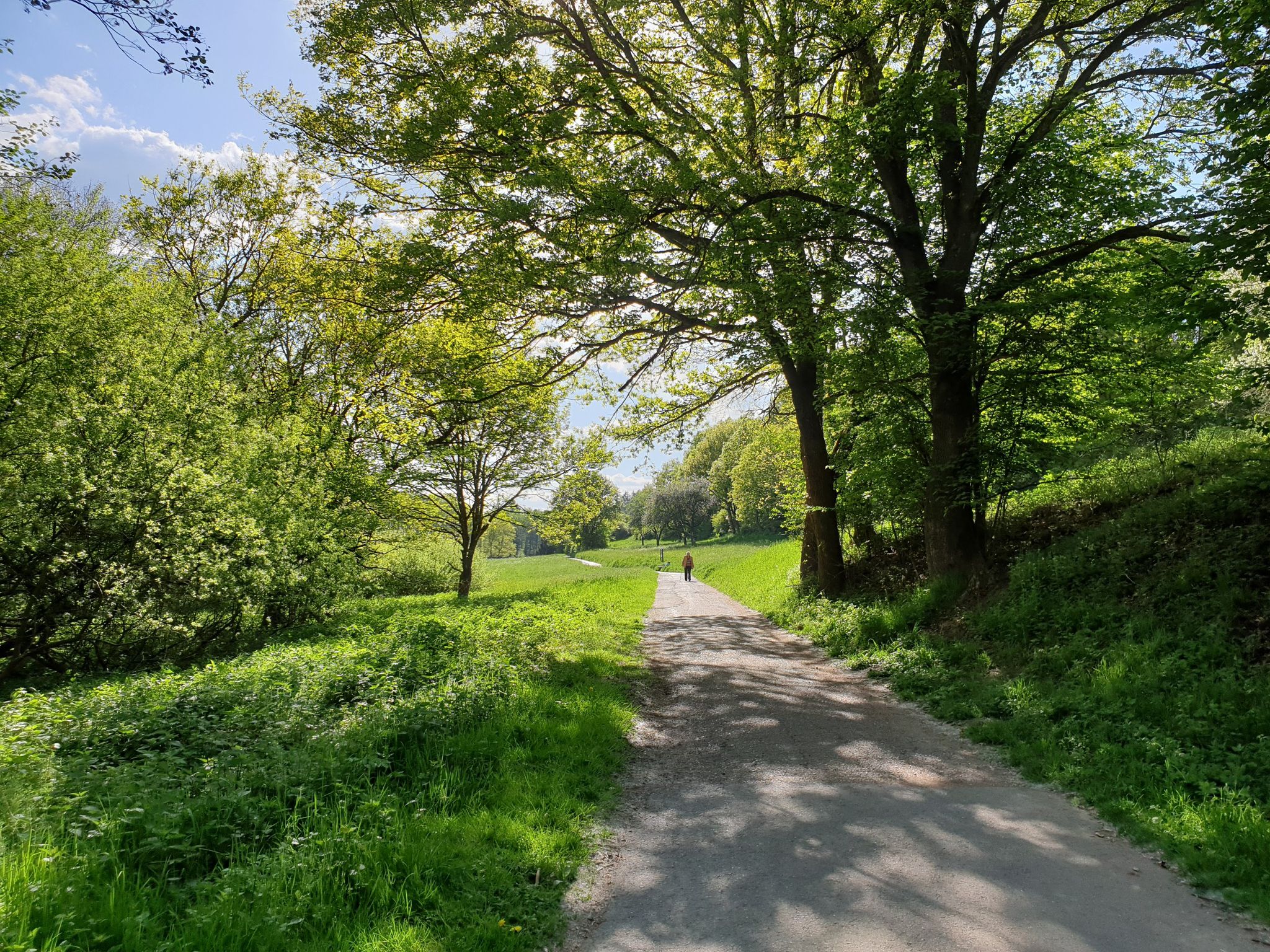
Culture, nature and good food in Hessen – gourmet Tours in the RMV region
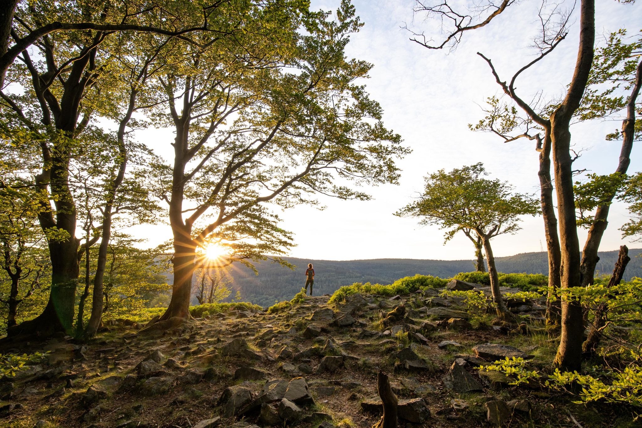
Deep valleys and airy heights – the most beautiful hikes in the Taunus in Germany
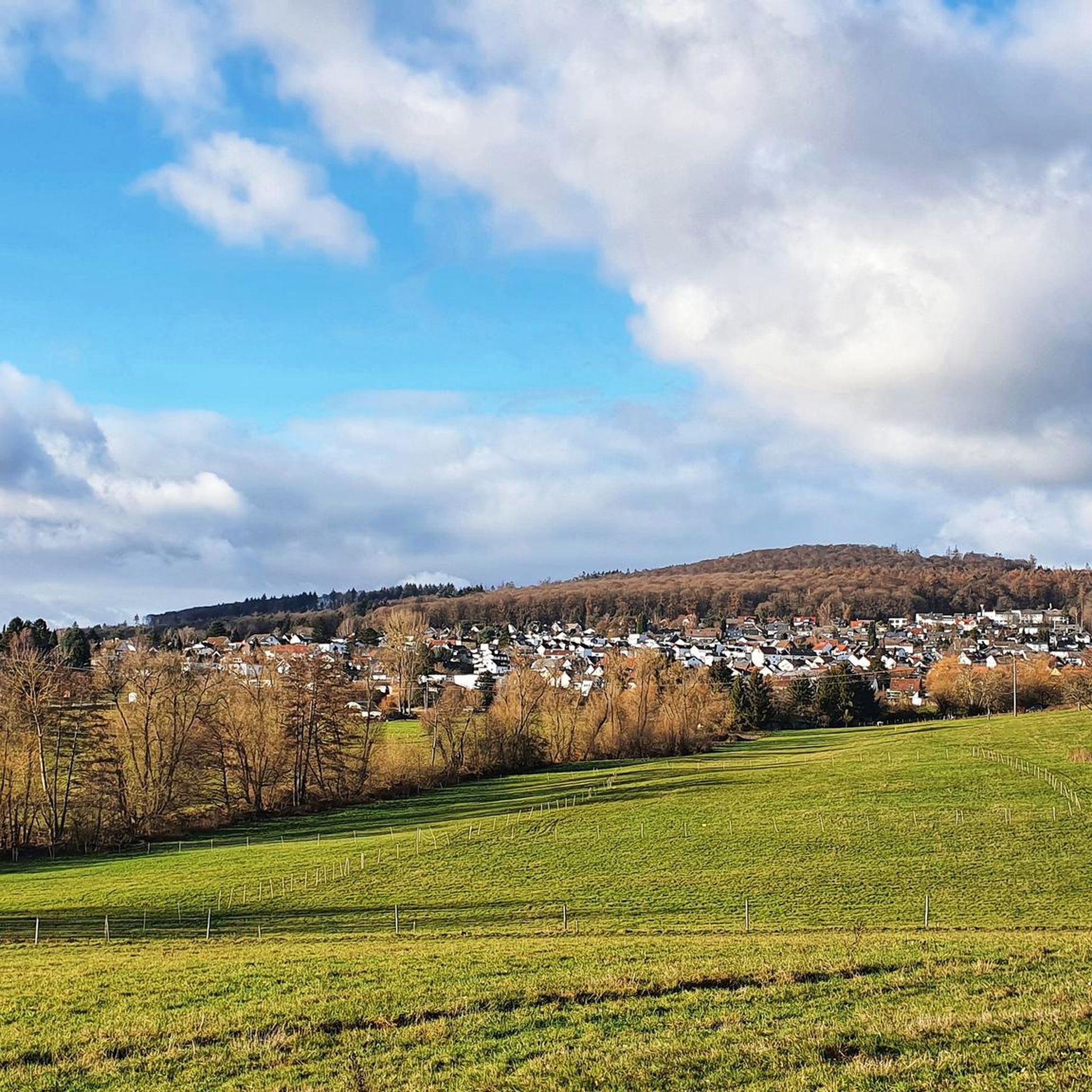
ニーダーンハウゼンイムタウヌスでのハイキング
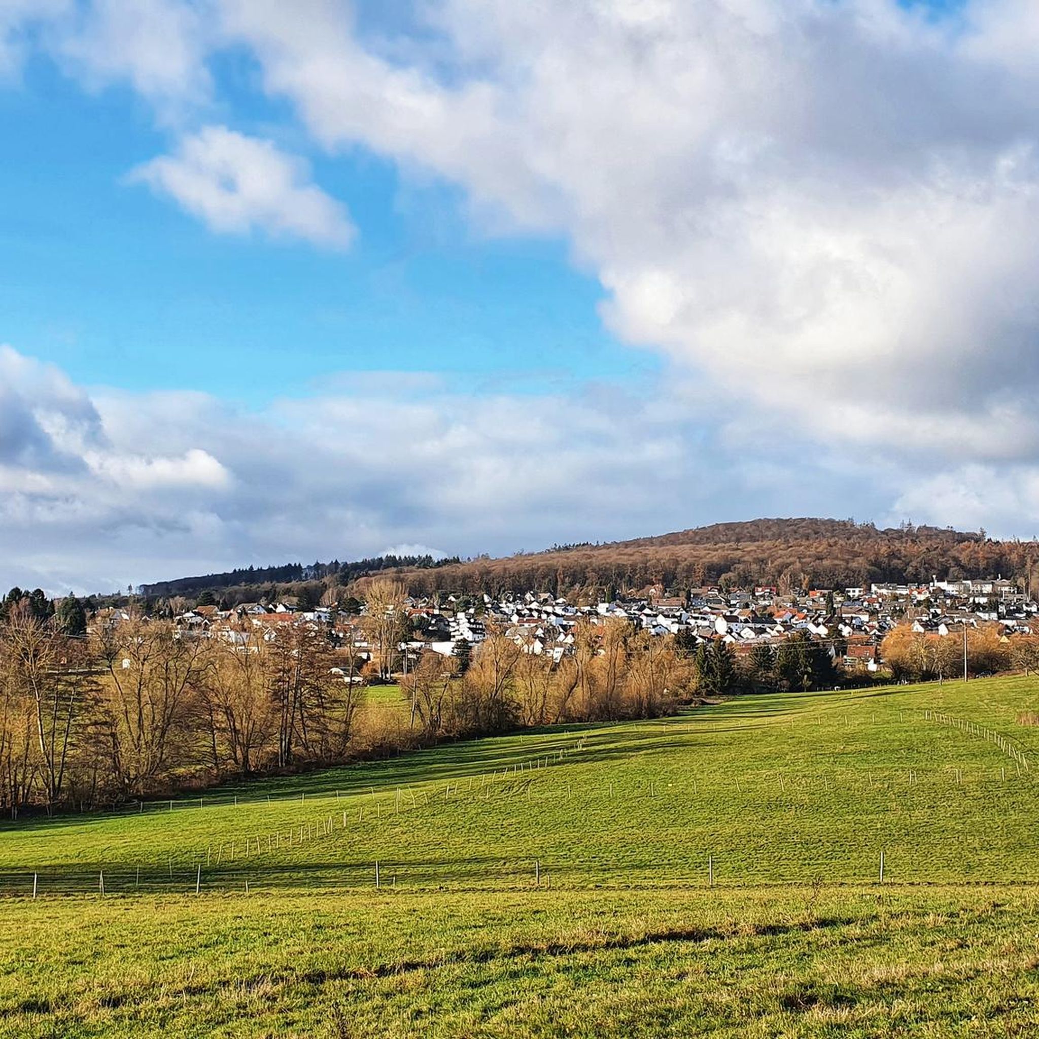
ニーダーンハウゼンイムタウヌスでのサイクリング
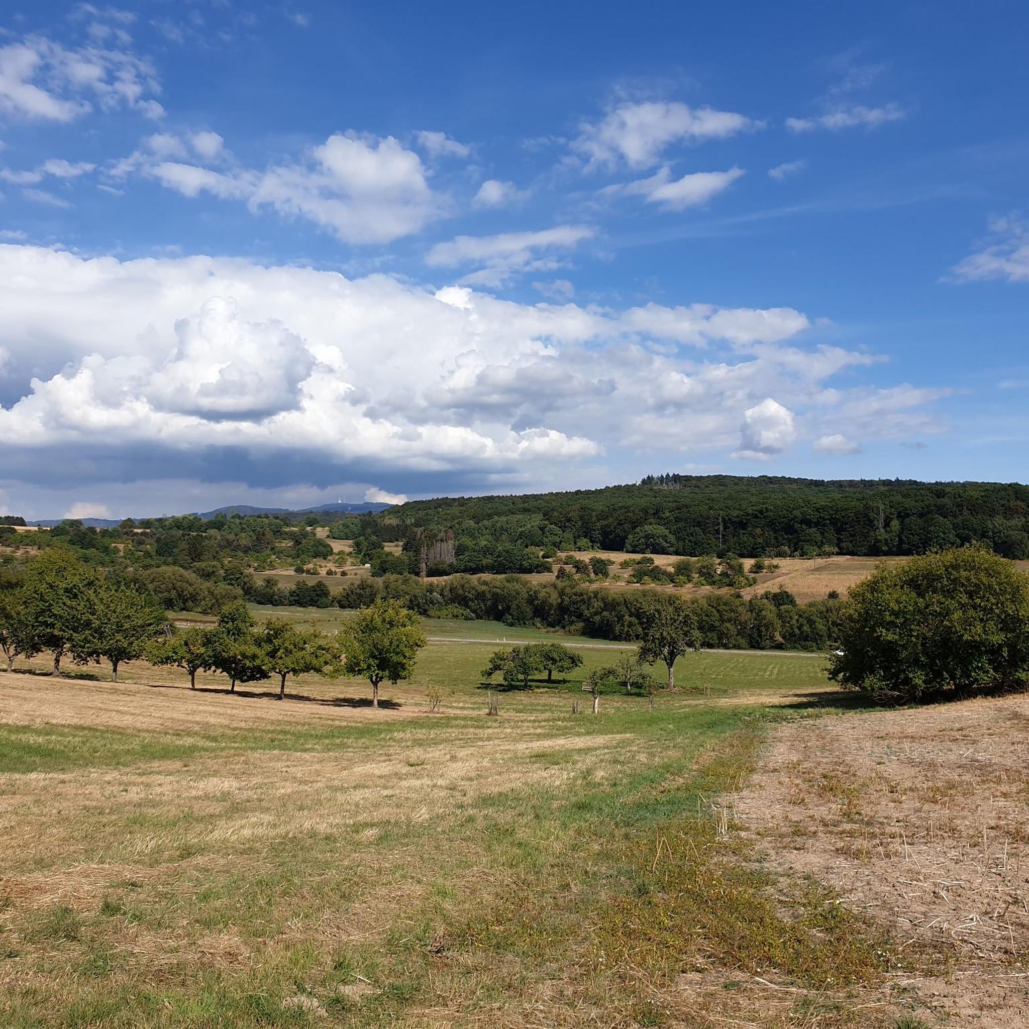
ニーダーンハウゼンイムタウヌスのランニングコース
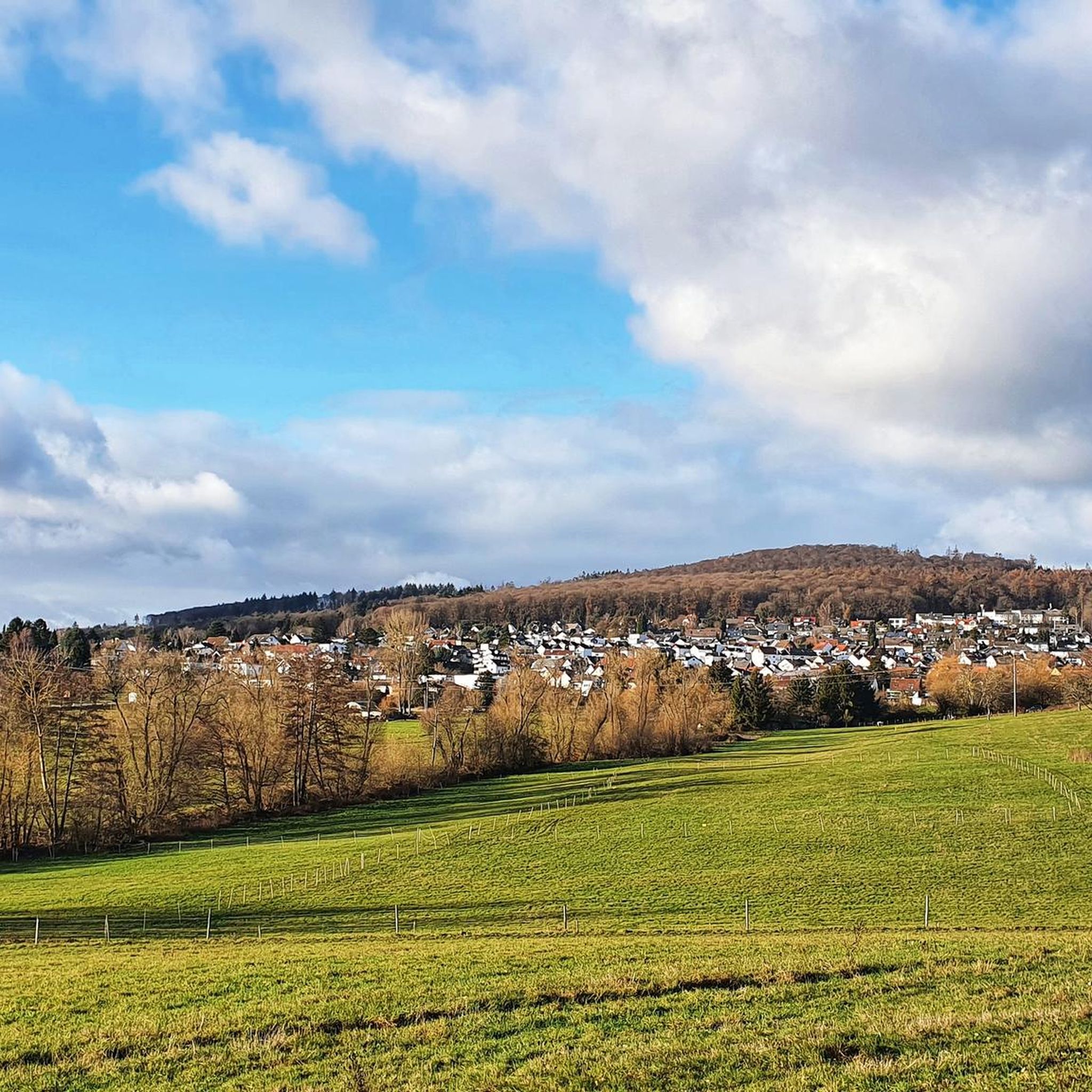
ニーダーンハウゼンイムタウヌスのMTBトレイル
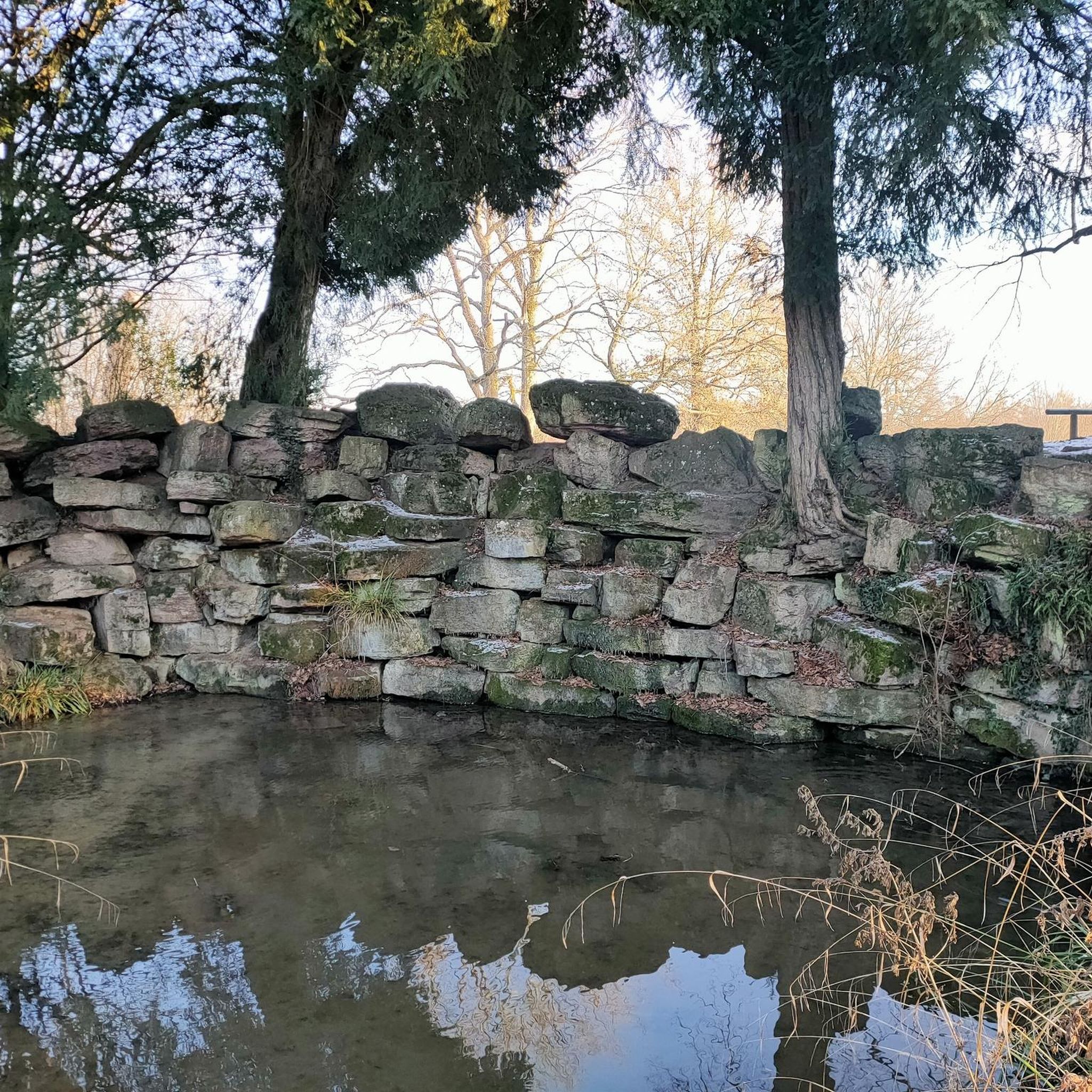
ニーダーンハウゼンイムタウヌスでののグラベルライド
ニーダーンハウゼンイムタウヌスでの登山&山歩き
ニーダーンハウゼンイムタウヌスでのの他の冒険


コミュニティからのヒント

FinsternthalからのTaunusで最も美しく静かな登りの一つです。アスファルトは場所によっては少し荒れていますが、ロードバイクでも十分に走行可能です。短くてタイトです!😅
0
0

ヴァイルバッハー・キースグルーベ地域公園の入り口にある塔は、高さ27メートルの展望台から素晴らしいパノラマを提供しています。素晴らしいです。
2
0


スカイラインの眺めは間違いなく最も美しいものの一つです。特に夕暮れ時には。しかし注意してください:この場所はサイクリストにとって非常に危険です。 道は狭く、自転車レーンはなく、時速80kmの制限速度はとてつもないスピード違反を引き起こします。わずかに上り坂になっているため、この場所は、特に反対車線がある場合、非常に狭い側方距離での危険な追い越しを引き起こします。 特に危険な点:多くのドライバーは、景色に気を取られたり、光の条件のため、ここでサイクリストに気づかないか、気づくのが遅すぎます。 皆さんへの呼びかけ: バックミラーを使用する:ここを走る人は、交通状況を常に把握するために、自転車にバックミラーを必ず装着してください。 気を散らさない:ミラーなしで走る人は、肩越しに確認することをマスターしなければなりません。「空を見上げる」ようなことをせず、景色に気を取られないでください。あなたの注意は道路に向けられるべきです。 停止を誘惑されない:他の人が止まるように勧めても、そうしないでください!この速度と勾配で停止し、再び発進しなければならない人は、救急外来への直行便を危険にさらします。動き続け、十分に注意し、最後の瞬間にしか見られないと想定してください。
0
0

The historic town hall in Schwalbach am Taunus, likely built around 1700, is a central building in the old town. It originally served as the municipal administration before being repurposed after sustaining damage in World War II. Today, as part of the town hall complex, it houses a small exhibition on the town's history. Its history is closely intertwined with the development of Schwalbach, from its importance in the historic town center alongside the church and inn to its current use, which contrasts with the modern town hall. Early History and Use: The building stands in a historical row with the parish church of St. Pankratius and the inn "Zum Schwanen" (At the Swan). It was probably built around 1700 and housed the local administration. After the air raid of 1944 and its subsequent reconstruction, it served as the town hall, a police station, and later, from 1975 onward, as a youth center. Current Significance: On the first floor of the building (Marktplatz 1-2) is a small exhibition on the town's history, displaying finds from the Stone Age to the Roman settlement, as well as historical maps. It is part of the historic town center, which has been shaped over time by new developments such as the Geschwister-Scholl-School (1956). Comparison to the new town hall: The administration moved into a newer, more modern town hall, thus eliminating the cramped conditions of the older one. The historic town hall therefore stands as a testament to Schwalbach's long development from a village to a town, which received its town charter in 1970.
15
0


Since 2023, Eppstein has once again been part of the Eschborn-Frankfurt cycling classic (formerly Henningerturm) on May 1st. Here, the route runs through the old town on cobblestones past the Talkirche church and below Eppstein Castle.
1
0

After a 5 km climb from Oberursel up and then another 3 km to the junction.
0
0
ニーダーンハウゼンイムタウヌスでのの人気ルート

komootモバイルアプリでインスピレーションを得よう


さらに探索
他の地域の最高のロードサイクリングルートを見てみましょう。
