ニーダービップのおすすめウォーキング&ハイキングルート
4.5
(635)
3,723
ハイカー
18
ハイキング
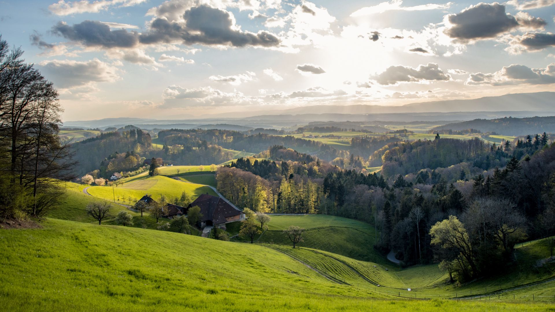
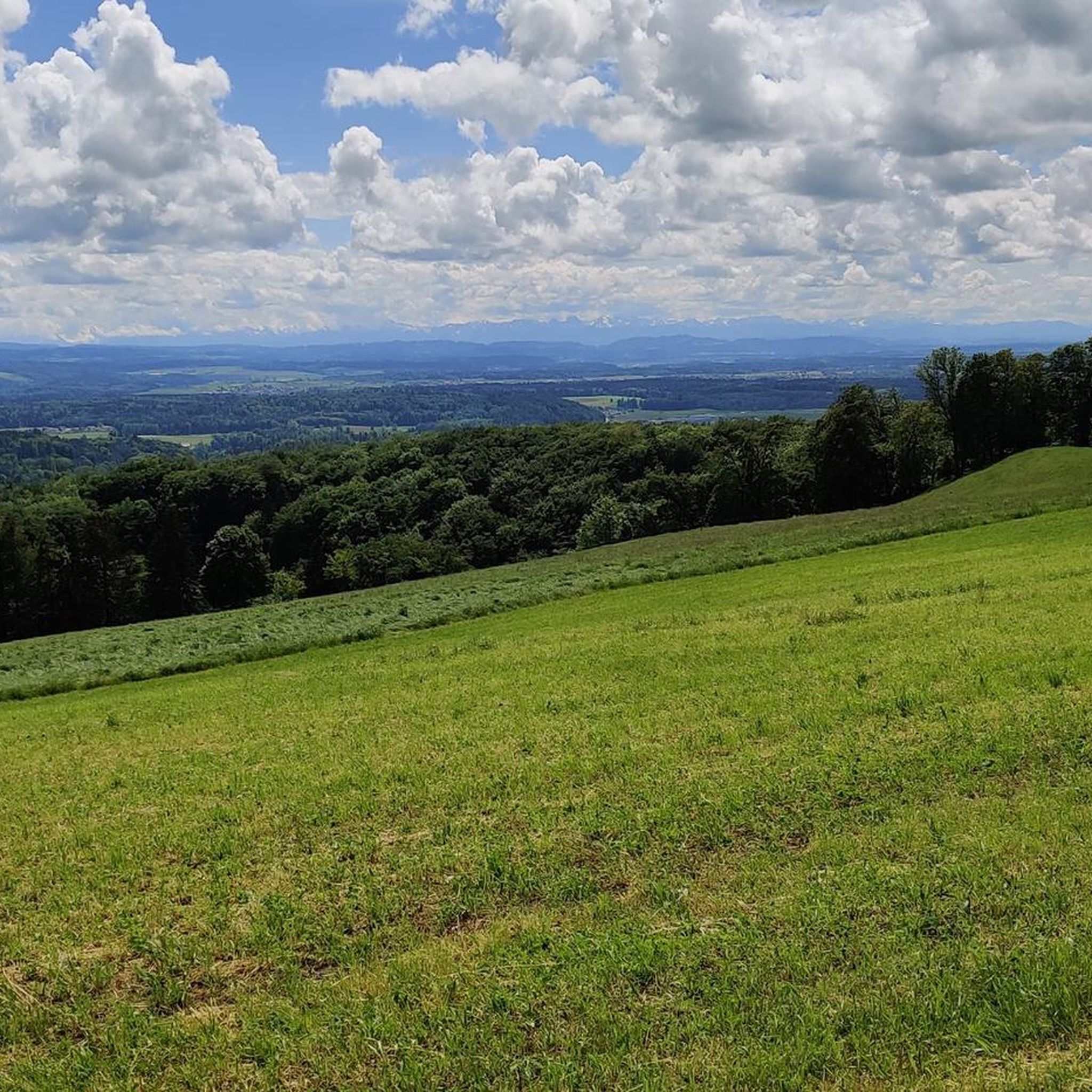
ニーダービップ周辺でのハイキングは、景色を満喫するのに最適な手段のひとつですが、適切なハイキングルートを見つけることは簡単ではありません。 ニーダービップ周辺の人気ハイキング&ウォーキングコースを参考にすれば、行きたいルートをすぐに見つけられます。
最終更新日: 10月 27, 2026
4.5
(11)
40
ハイカー
8.01km
02:51
360m
370m
中程度のハイキング. ある程度のフィットネスレベルが必要です。 ほとんどが歩ける道です。足元への注意が必要です。
4.8
(6)
16
ハイカー
11.4km
03:59
620m
620m
中程度のハイキング. ある程度のフィットネスレベルが必要です。 歩きやすい道です。

5.0
(2)
3
ハイカー
10.9km
03:10
280m
280m
中程度のハイキング. ある程度のフィットネスレベルが必要です。 歩きやすい道です。
5.0
(1)
10
ハイカー
5.11km
01:51
230m
230m
難しいハイキング. 安定して歩行できる技術、丈夫な靴、高標高地での登山経験が必要です。
3.0
(1)
6
ハイカー
7.28km
01:57
90m
90m
初級者向けハイキング. 歩きやすい道です。
さらに多くのルートや他のユーザーのおすすめ情報を確認できます。
すでにアカウントをお持ちですか?
おすすめのツアーは他のkomootユーザーが実際に経験した何千ものアクティビティに基づいています。
無料アカウントで今日から始めよう
次の冒険が待っています。

ニーダービップでのの他の冒険

コミュニティからのヒント

Mint is already very diverse, but 108 different types at 1028 meters above sea level surprised me.
0
0

Oberbipp Castle with beautiful surroundings. The castle itself is privately owned and therefore cannot be visited. The Oberbipp municipality's coat of arms depicts three linden trees, one of which stands in a meadow away from the castle.
0
0

The electricity comes from the wind, an older wind turbine. TOP at this time!!! And hopefully little resistance, since the electricity comes from the socket?
0
0

View of a geological rock fold including an explanation board.
0
0
Here you can park well and prepare for departure. Above the parking lot there is a description of the flight situation and below the parking lot in the meadow you will find the launch site with a windsock.
1
0

Beautiful trail towards Buchmatt. In certain places the trail is very narrow and you must not tip over onto the wrong (left) side, otherwise you could fall down painfully....
0
0
Nice challenge. I don't really think it's suitable for e-bikers because it's steep and has high stairs...
0
1
Super nice trail with a few difficult sections, but actually everything is mobile (S1-S3)
1
0

komootモバイルアプリでインスピレーションを得よう


さらに探索
他の地域の最高のハイキングを見てみましょう。
